Long Plantation

Wood, Forest in Berkshire

England

Long Plantation

Postbox in the gatepost of a house in Boxford
Postbox in the gatepost of a house in Boxford Credit: Sarah Charlesworth

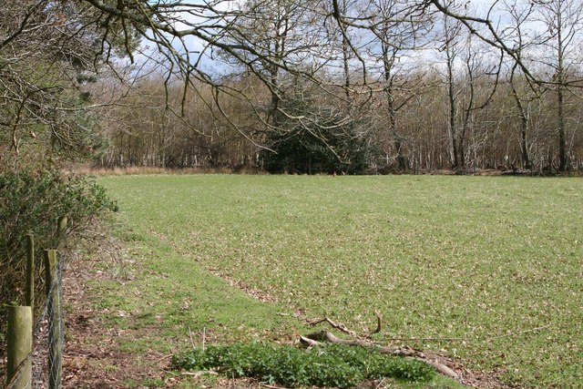
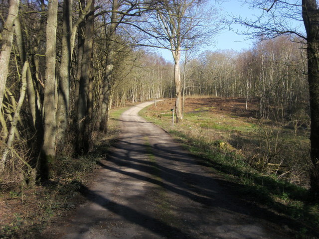
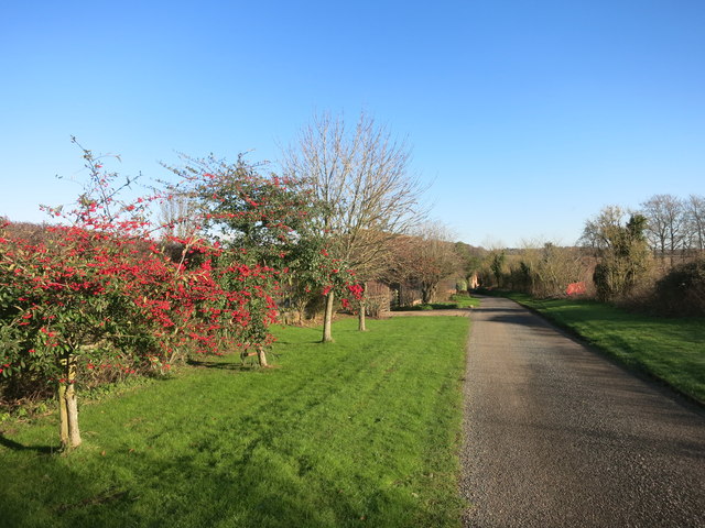
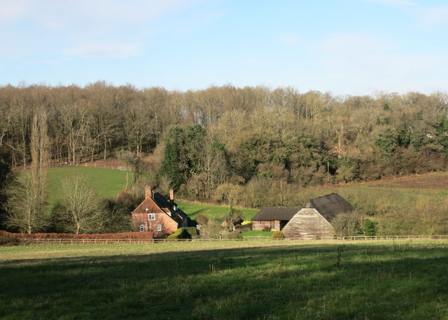
Long Plantation is a picturesque woodland located in Berkshire, England. Situated in the heart of the county, the plantation spans over a vast area, offering an enchanting escape for nature enthusiasts and outdoor lovers. The woodland is known for its dense collection of towering trees, creating a serene and tranquil atmosphere.

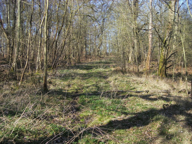
The plantation is home to a diverse range of flora and fauna, making it a haven for wildlife. The trees that dominate the area include oak, beech, and pine, providing a rich habitat for various bird species, small mammals, and insects. Walking through the plantation, visitors can expect to encounter squirrels scurrying among the branches and hear the delightful melodies of songbirds echoing through the trees.

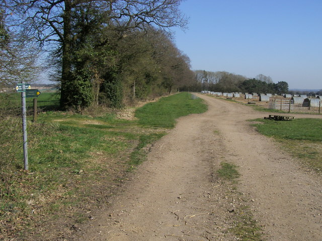
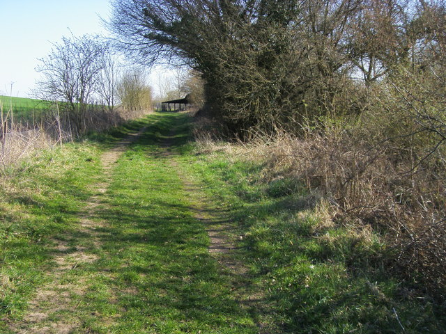
Long Plantation boasts an extensive network of well-maintained trails, allowing visitors to explore the woodland at their own pace. These paths wind through the forest, offering breathtaking views of the surrounding landscape. Along the way, there are numerous picnic spots and seating areas, providing the perfect opportunity to relax and immerse oneself in the tranquility of nature.

The plantation also offers educational opportunities, with information boards scattered throughout the area, providing interesting facts about the local flora and fauna. Additionally, guided tours and nature walks are available, allowing visitors to learn more about the ecosystem and the history of the woodland.

Long Plantation is a true gem in Berkshire, offering a peaceful and immersive experience in the heart of nature. Whether it's a leisurely stroll, a family picnic, or an educational adventure, this woodland is a must-visit destination for anyone seeking solace and connection with the natural world.

If you have any feedback on the listing, please let us know in the comments section below.

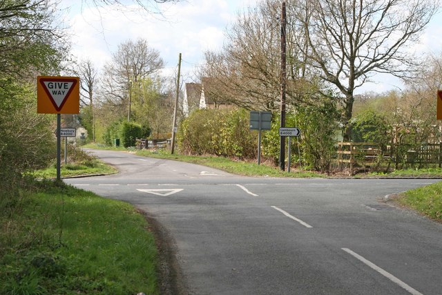
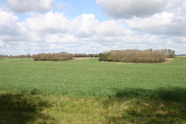
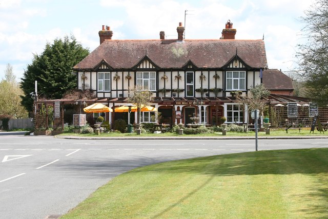
Long Plantation Images

Images are sourced within 2km of 51.427025/-1.4043262 or Grid Reference SU4169. Thanks to Geograph Open Source API. All images are credited.

Postbox in the gatepost of a house in Boxford
Hoe Benham, Berkshire Looking southwest towards the B4000 junction in the west of the square.
Hoe Benham, Berkshire
Looking southwest towards the B4000 junction in the west of the square.
Near Sole Common, Berkshire Looking west towards Sole Farm from the minor road in the southwest of the squqre.
Near Sole Common, Berkshire
Looking west towards Sole Farm from the minor road in the southwest of the squqre.
Boxford, Berkshire The Bell at Boxford public house.
Boxford, Berkshire
The Bell at Boxford public house.
Near Easton, Berkshire Looking northwest to the pig farm from the minor road in the northeast of the square.
Near Easton, Berkshire
Looking northwest to the pig farm from the minor road in the northeast of the square.
Hoe Benham, Berkshire Paddock and woods beside the minor road in the southeast of the square.
Hoe Benham, Berkshire
Paddock and woods beside the minor road in the southeast of the square.
Path through Sole Plantation By Sole pond the path through Sole Plantation
Path through Sole Plantation
By Sole pond the path through Sole Plantation
Path through Sole Plantation Path through Sole Plantation heading for the B4000
Path through Sole Plantation
Path through Sole Plantation heading for the B4000
Path to Southfield Path to Southfield at junction with path to Sole Farm
Path to Southfield
Path to Southfield at junction with path to Sole Farm
Path to Bagnor From Boxford the path to Bagnor
Path to Bagnor
From Boxford the path to Bagnor
New thatch and mistletoe in Boxford The mistletoe (Viscum album) is the series of dark blobs in the tree to the right of picture. The new thatch is on Pump Cottage, a Grade II listed building dating from the 17th C. It has English Heritage Building ID: 393753.
New thatch and mistletoe in Boxford
The mistletoe (Viscum album) is the series of dark blobs in the tree to the right of picture. The new thatch is on Pump Cottage, a Grade II listed building dating from the 17th C. It has English Heritage Building ID: 393753.
The Bell Inn, Boxford A free house with a fair amount of accommodation also.
The Bell Inn, Boxford
A free house with a fair amount of accommodation also.
Mute Swan at the bridge at Boxford, Berkshire Scientific name Cygnus olor. The water here is clear, allowing a good view of the swan paddling against the stream.
Mute Swan at the bridge at Boxford, Berkshire
Scientific name Cygnus olor. The water here is clear, allowing a good view of the swan paddling against the stream.
Mute Swan by the bridge in Boxford, Berkshire Scientific name Cygnus olor. The water here is clear, allowing a good view of the swan paddling against the stream.
Mute Swan by the bridge in Boxford, Berkshire
Scientific name Cygnus olor. The water here is clear, allowing a good view of the swan paddling against the stream.
Swan's head at Boxford, Berkshire This Mute Swan had no trouble languidly paddling against the current while posing for me...
Swan's head at Boxford, Berkshire
This Mute Swan had no trouble languidly paddling against the current while posing for me...
The River Lambourn at Boxford The River Lambourn eventually runs into the River Kennet between Thatcham and Newbury. It is fed by springs from chalk aquifers and parts of it dry up at various times of the year. However, this section is perennial.
The River Lambourn at Boxford
The River Lambourn eventually runs into the River Kennet between Thatcham and Newbury. It is fed by springs from chalk aquifers and parts of it dry up at various times of the year. However, this section is perennial.
Red Berries at Coombesbury Farm Colourful winter fruit beside Coombesbury Lane.
Very neat along here. It looks like a private drive, but it's an ordinary road.
Red Berries at Coombesbury Farm
Colourful winter fruit beside Coombesbury Lane. Very neat along here. It looks like a private drive, but it's an ordinary road.
Lower Farm, Ownham Upper Farm is on the other side of the trees.
Lower Farm, Ownham
Upper Farm is on the other side of the trees.
Show me another place!

Long Plantation is located at Grid Ref: SU4169 (Lat: 51.427025, Lng: -1.4043262)

Unitary Authority: West Berkshire

Police Authority: Thames Valley

What 3 Words

///divided.fools.passions. Near Wickham, Berkshire

Related Wikis

Wickham Heath

Wickham Heath is a small hamlet in Berkshire, England, and part of the civil parish of Welford. The settlement lies on the B4000, approximately 4 miles...

Hoe Benham

Hoe Benham is a hamlet in Berkshire, England, and part of the civil parish of Welford. The settlement lies near to the A4 and B4000 roads, and is located...

Ownham

Ownham is a hamlet in Berkshire, England, and part of the civil parish of Boxford (where according to the Grid Ref at the 2011 Census the majority of the...

Sole Common Pond

Sole Common Pond is a 3-hectare (7.4-acre) nature reserve south-west of Boxford in Berkshire in Berkshire. It is managed by the Berkshire, Buckinghamshire...

Halfway, Berkshire

Halfway is a hamlet in the civil parish of Welford in the English county of Berkshire. It is located in the district of West Berkshire and the Newbury...

Hungerford Newtown

Hungerford Newtown is a hamlet in the civil parish of Hungerford, Berkshire, England. It is south of the M4 motorway, near junction 14, on the A338, and...

Hunts Green, Berkshire

Hunts Green is a hamlet in Berkshire, England, and part of the civil parish of Boxford. The settlement lies west of the A34 road (Newbury Bypass) and approximately...

Elcot Park Hotel

The Retreat at Elcot Park is the second hotel from British hospitality brand The Signet Collection, and opened in Spring 2022. Housed in a Grade II-listed...

Nearby Amenities

Located within 500m of 51.427025,-1.4043262
Wickham Heath
Created By: xybot
Place: village
Wikidata: Q7998381
Lat/Long: 51.4249062/-1.3982802
Power: pole
Lat/Long: 51.4239695/-1.4016151
Power: pole
Lat/Long: 51.4232194/-1.4025807
Barrier: kissing_gate
Bicycle: yes
Foot: yes
Motor Vehicle: no
Lat/Long: 51.4254478/-1.4108933
Power: pole
Lat/Long: 51.4252272/-1.3981873
Power: pole
Lat/Long: 51.4252632/-1.3988002
Power: pole
Lat/Long: 51.4252306/-1.3996384
Power: pole
Lat/Long: 51.4241284/-1.4011954
Power: pole
Lat/Long: 51.4245005/-1.4005516
Power: pole
Lat/Long: 51.4242129/-1.3996853
The data included in this document is from www.openstreetmap.org. The data is made available under ODbL.

Have you been to Long Plantation?

Leave your review of Long Plantation below (or comments, questions and feedback).