Alder's Copse

Wood, Forest in Berkshire

England

Alder's Copse

Rapeseed Farmland near Wickham This grid square is all farmland and farm buildings, with one or two roads passing through. This view covers most of this grid square, viewed more or less from the east.
Rapeseed Farmland near Wickham Credit: Pam Brophy

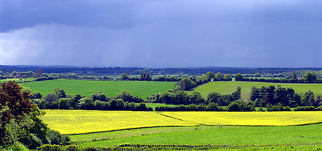
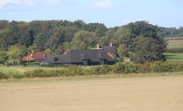
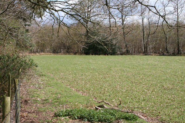
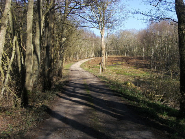
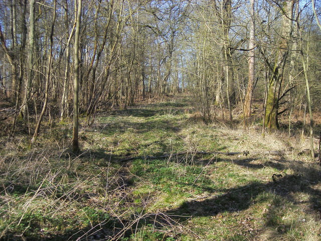
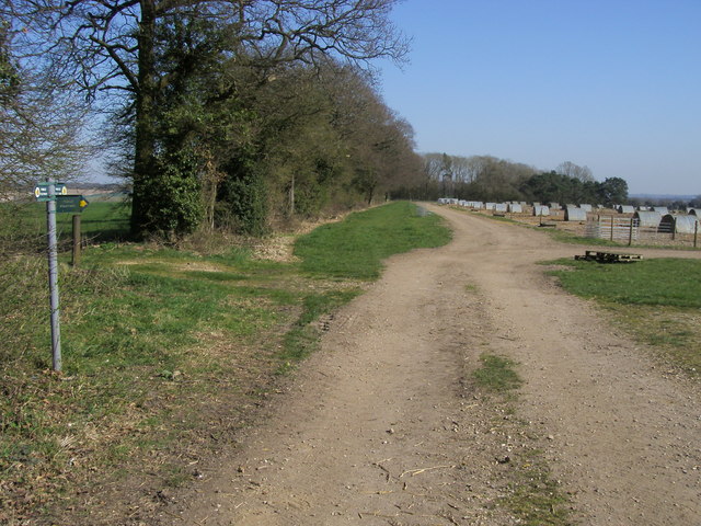
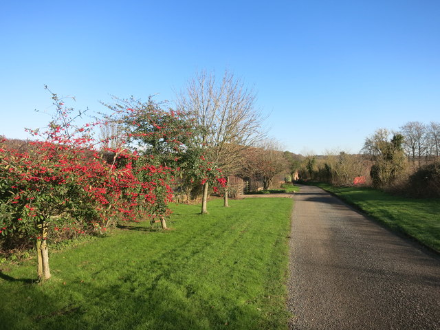
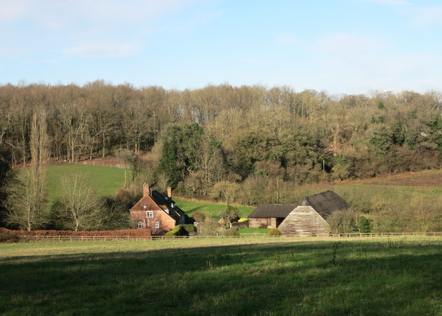
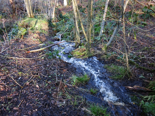
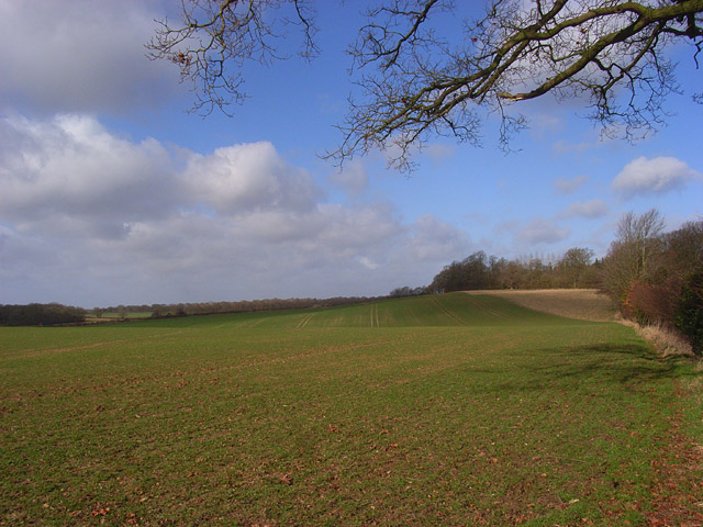
Alder's Copse is a picturesque woodland located in Berkshire, England. Covering an area of approximately 60 acres, it is a cherished natural gem within the region. The copse predominantly consists of alder trees, which give the woodland its name. These tall, slender trees create a dense canopy that provides a tranquil and shady environment, making it an ideal spot for nature enthusiasts and walkers alike.

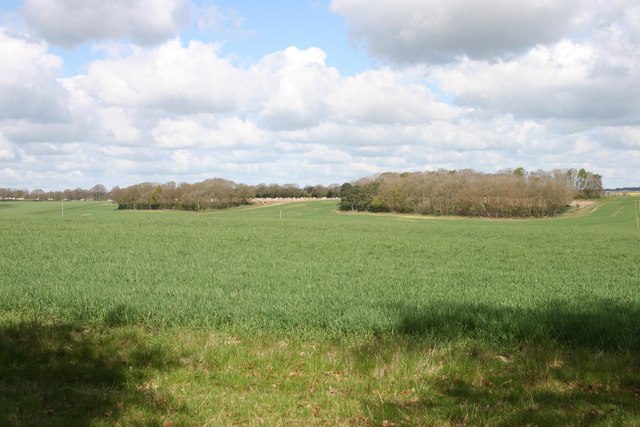
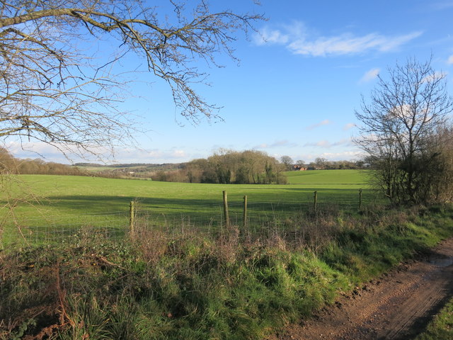
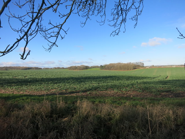
The copse is located on undulating terrain, with gentle slopes and meandering footpaths that allow visitors to explore its beauty. The forest floor is adorned with a vibrant carpet of wildflowers, adding to the charm and beauty of the woodland. Bluebells, primroses, and violets are among the many species that bloom here during the spring months, creating a colorful spectacle for visitors.

Alder's Copse is also home to a diverse range of wildlife. The dense vegetation provides a safe haven for numerous bird species, including woodpeckers, thrushes, and warblers. Additionally, the woodland is inhabited by small mammals such as squirrels and rabbits, as well as a variety of insects and reptiles.

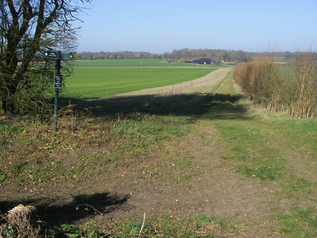
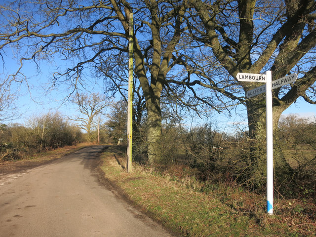
The copse is accessible to the public and offers several well-marked trails for visitors to explore. There are also designated picnic areas where visitors can relax and enjoy the tranquil surroundings. Alder's Copse is a popular destination for nature lovers, offering a peaceful retreat from the bustling urban life of Berkshire.

If you have any feedback on the listing, please let us know in the comments section below.

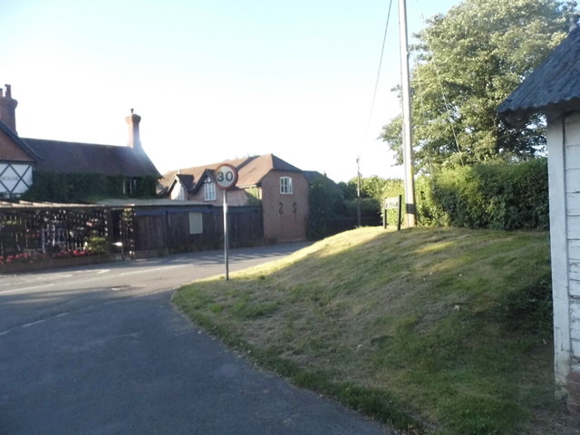
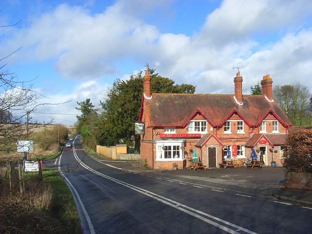
Alder's Copse Images

Images are sourced within 2km of 51.424889/-1.4086112 or Grid Reference SU4169. Thanks to Geograph Open Source API. All images are credited.

Rapeseed Farmland near Wickham This grid square is all farmland and farm buildings, with one or two roads passing through. This view covers most of this grid square, viewed more or less from the east.
Rapeseed Farmland near Wickham
This grid square is all farmland and farm buildings, with one or two roads passing through. This view covers most of this grid square, viewed more or less from the east.
Barn at Orpenham Farm Looking nearer than it is across a shallow valley beyond the hedge which hides another couple of fields and a road.
Barn at Orpenham Farm
Looking nearer than it is across a shallow valley beyond the hedge which hides another couple of fields and a road.
Hoe Benham, Berkshire Looking southwest towards the B4000 junction in the west of the square.
Hoe Benham, Berkshire
Looking southwest towards the B4000 junction in the west of the square.
Near Sole Common, Berkshire Looking west towards Sole Farm from the minor road in the southwest of the squqre.
Near Sole Common, Berkshire
Looking west towards Sole Farm from the minor road in the southwest of the squqre.
Hoe Benham, Berkshire Paddock and woods beside the minor road in the southeast of the square.
Hoe Benham, Berkshire
Paddock and woods beside the minor road in the southeast of the square.
Path through Sole Plantation By Sole pond the path through Sole Plantation
Path through Sole Plantation
By Sole pond the path through Sole Plantation
Path through Sole Plantation Path through Sole Plantation heading for the B4000
Path through Sole Plantation
Path through Sole Plantation heading for the B4000
Path to Orpenham Farm Path to Orpenham Farm cutting across bridleway to Lower Farm
Path to Orpenham Farm
Path to Orpenham Farm cutting across bridleway to Lower Farm
Path to Southfield Path to Southfield at junction with path to Sole Farm
Path to Southfield
Path to Southfield at junction with path to Sole Farm
Red Berries at Coombesbury Farm Colourful winter fruit beside Coombesbury Lane.
Very neat along here. It looks like a private drive, but it's an ordinary road.
Red Berries at Coombesbury Farm
Colourful winter fruit beside Coombesbury Lane. Very neat along here. It looks like a private drive, but it's an ordinary road.
Lower Farm, Ownham Upper Farm is on the other side of the trees.
Lower Farm, Ownham
Upper Farm is on the other side of the trees.
Sole Common Pond Part of Sole Common nature reserve.
Sole Common Pond
Part of Sole Common nature reserve.
Stream in Sole Woods The overflow from Sole Common Pond runs down a steep valley through Sole Common nature reserve.
Stream in Sole Woods
The overflow from Sole Common Pond runs down a steep valley through Sole Common nature reserve.
No sign of Romans The map shows the course of a Roman Road going across this field between here and the clump of trees.
No sign of Romans
The map shows the course of a Roman Road going across this field between here and the clump of trees.
Farmland near Boxford
Very Pink Barriers I guess they show up, and that's a big part of the job.
Very Pink Barriers
I guess they show up, and that's a big part of the job.
Junction for Lambourn A lane near Hoe Benham.
Junction for Lambourn
A lane near Hoe Benham.
Service Road in Southfields Running along Rood Hill
Service Road in Southfields
Running along Rood Hill
Show me another place!

Alder's Copse is located at Grid Ref: SU4169 (Lat: 51.424889, Lng: -1.4086112)

Unitary Authority: West Berkshire

Police Authority: Thames Valley

What 3 Words

///unafraid.overdrive.take. Near Wickham, Berkshire

Related Wikis

Hoe Benham

Hoe Benham is a hamlet in Berkshire, England, and part of the civil parish of Welford. The settlement lies near to the A4 and B4000 roads, and is located...

Wickham Heath

Wickham Heath is a small hamlet in Berkshire, England, and part of the civil parish of Welford. The settlement lies on the B4000, approximately 4 miles...
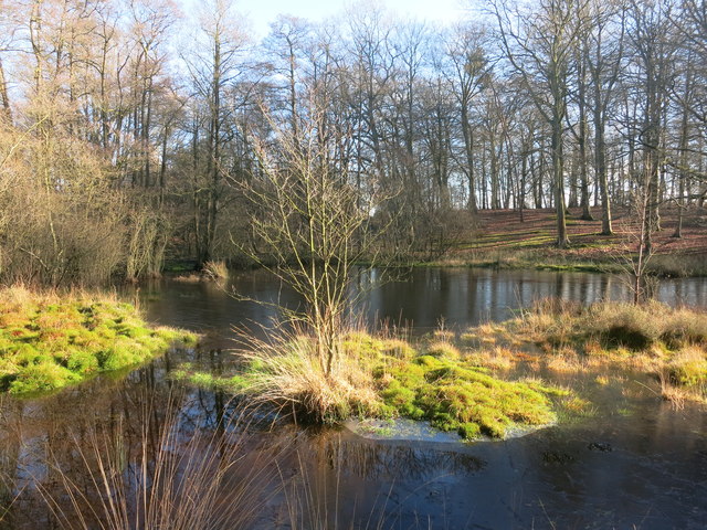
Sole Common Pond

Sole Common Pond is a 3-hectare (7.4-acre) nature reserve south-west of Boxford in Berkshire in Berkshire. It is managed by the Berkshire, Buckinghamshire...

Ownham

Ownham is a hamlet in Berkshire, England, and part of the civil parish of Boxford (where according to the Grid Ref at the 2011 Census the majority of the...

Halfway, Berkshire

Halfway is a hamlet in the civil parish of Welford in the English county of Berkshire. It is located in the district of West Berkshire and the Newbury...

Elcot Park Hotel

The Retreat at Elcot Park is the second hotel from British hospitality brand The Signet Collection, and opened in Spring 2022. Housed in a Grade II-listed...

Elcot, Berkshire

Elcot is a hamlet in Berkshire, England, and part of the civil parish of Kintbury. It is the location of the four-star Elcot Park Hotel.The settlement...

Hungerford Newtown

Hungerford Newtown is a hamlet in the civil parish of Hungerford, Berkshire, England. It is south of the M4 motorway, near junction 14, on the A338, and...

Nearby Amenities

Located within 500m of 51.424889,-1.4086112
Power: pole
Source: Bing
Lat/Long: 51.4210444/-1.4084921
Power: pole
Source: Bing
Lat/Long: 51.4217447/-1.4090983
Power: pole
Source: Bing
Lat/Long: 51.4223111/-1.4096482
Power: pole
Source: Bing
Lat/Long: 51.4214358/-1.4048223
Power: pole
Source: Bing
Lat/Long: 51.4228865/-1.4101927
Power: pole
Source: Bing
Lat/Long: 51.4234445/-1.4106936
Power: pole
Lat/Long: 51.4239695/-1.4016151
Power: pole
Lat/Long: 51.4232194/-1.4025807
Power: pole
Lat/Long: 51.4224701/-1.4035946
Barrier: kissing_gate
Bicycle: yes
Foot: yes
Motor Vehicle: no
Lat/Long: 51.4254478/-1.4108933
Barrier: kissing_gate
Bicycle: yes
Foot: yes
Motor Vehicle: no
Lat/Long: 51.4251481/-1.4114037
The data included in this document is from www.openstreetmap.org. The data is made available under ODbL.

Have you been to Alder's Copse?

Leave your review of Alder's Copse below (or comments, questions and feedback).