Wickham Heath

Settlement in Berkshire

England

Wickham Heath

Postbox in the gatepost of a house in Boxford
Postbox in the gatepost of a house in Boxford Credit: Sarah Charlesworth

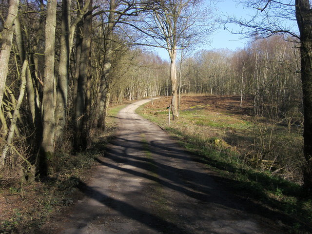
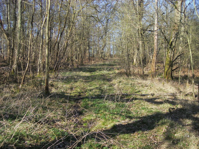
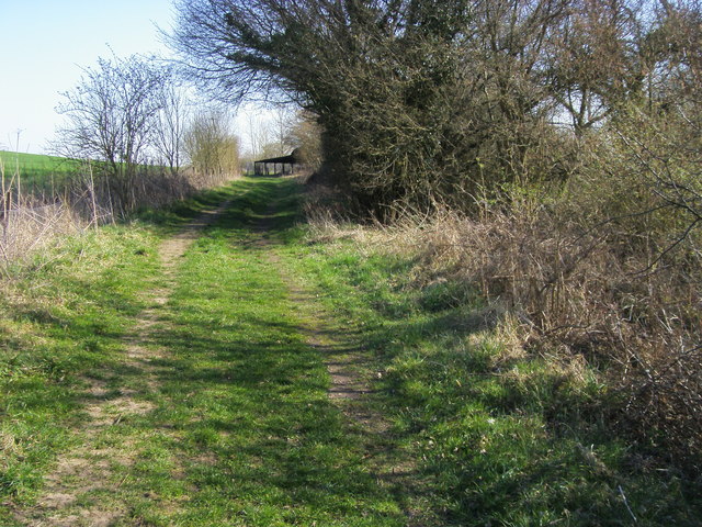
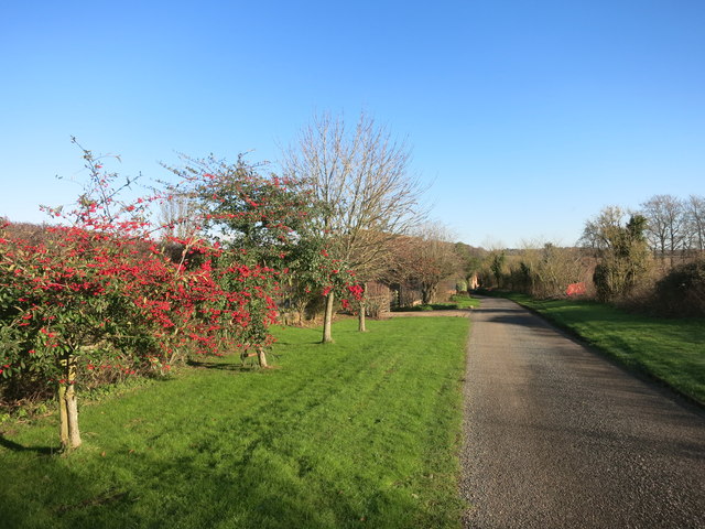
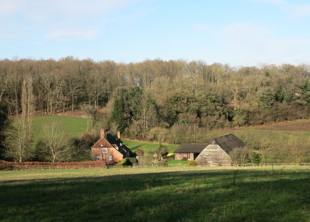
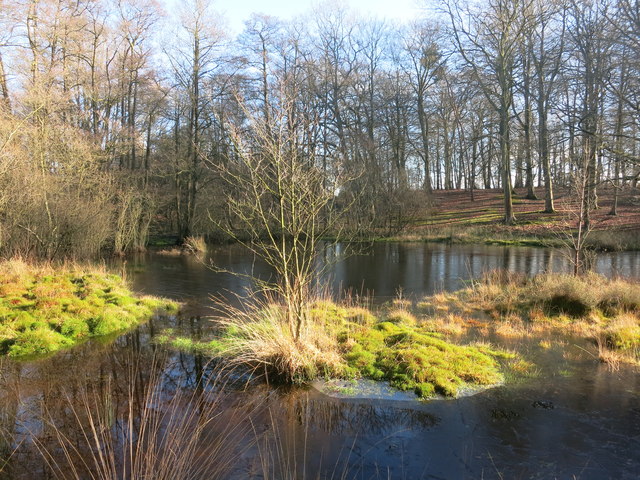
Wickham Heath is a charming village located in the county of Berkshire, England. Situated just a few miles west of the town of Newbury, Wickham Heath is known for its picturesque countryside setting and tranquil atmosphere. The village is surrounded by rolling hills, lush green fields, and beautiful woodlands, making it a perfect destination for nature enthusiasts and those seeking a peaceful retreat.

The village itself is small, with a close-knit community of residents who take pride in their surroundings. The architecture in Wickham Heath is predominantly traditional, with many historic cottages and farmhouses dotting the landscape. These buildings add to the village's charm and give it a timeless feel.

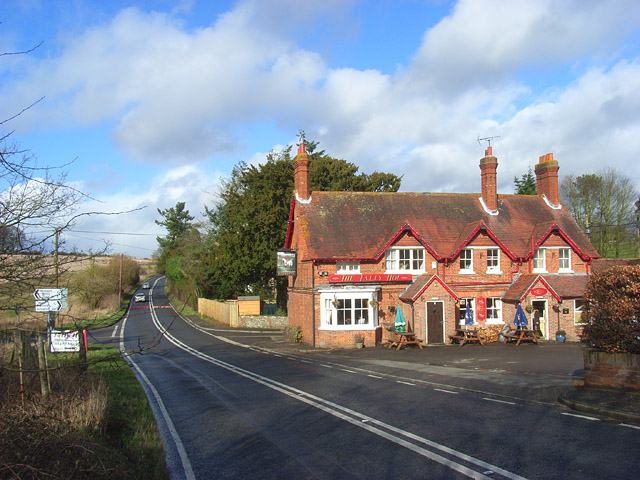
Wickham Heath benefits from its proximity to the larger town of Newbury, which provides residents with access to a range of amenities such as shops, restaurants, and leisure facilities. Additionally, the nearby Newbury Racecourse is a popular attraction for horse racing enthusiasts and hosts several high-profile events throughout the year.

For outdoor enthusiasts, Wickham Heath offers numerous opportunities for walking, hiking, and cycling. The surrounding countryside boasts a network of footpaths and bridleways that allow visitors to explore the area's natural beauty at their own pace.

Overall, Wickham Heath is a delightful village that offers a peaceful and idyllic setting for residents and visitors alike. Its picturesque surroundings and community spirit make it a truly charming place to call home or to enjoy a relaxing break from the hustle and bustle of city life.

If you have any feedback on the listing, please let us know in the comments section below.

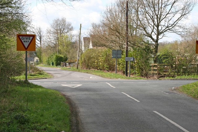
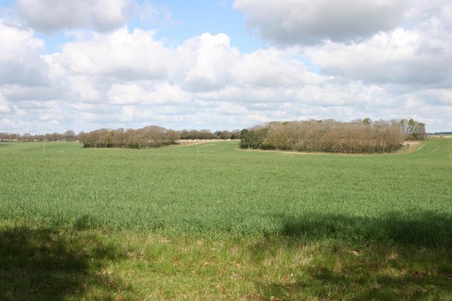
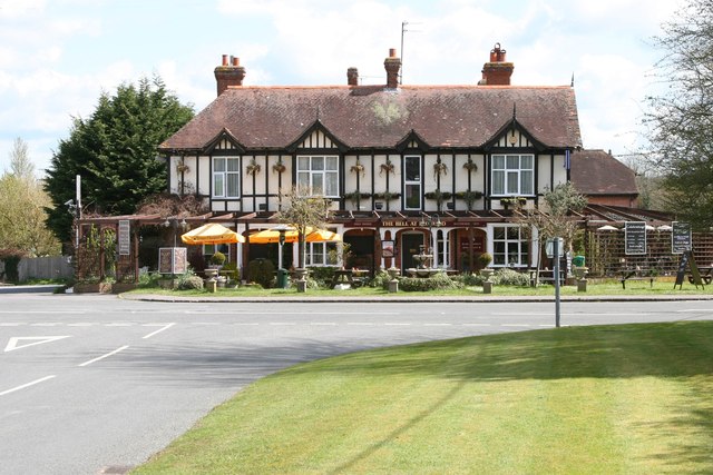
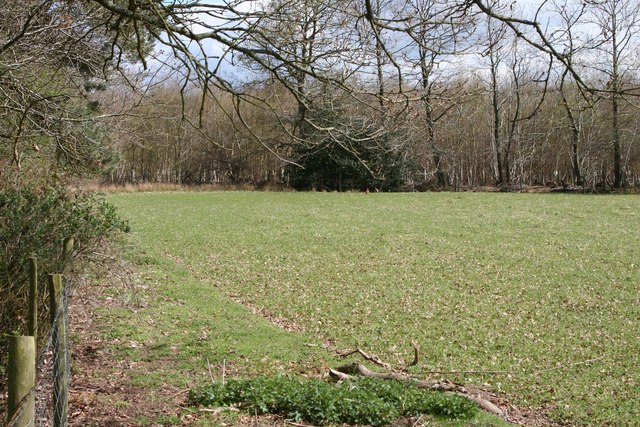
Wickham Heath Images

Images are sourced within 2km of 51.424714/-1.398766 or Grid Reference SU4169. Thanks to Geograph Open Source API. All images are credited.

Postbox in the gatepost of a house in Boxford
Hoe Benham, Berkshire Looking southwest towards the B4000 junction in the west of the square.
Hoe Benham, Berkshire
Looking southwest towards the B4000 junction in the west of the square.
Near Sole Common, Berkshire Looking west towards Sole Farm from the minor road in the southwest of the squqre.
Near Sole Common, Berkshire
Looking west towards Sole Farm from the minor road in the southwest of the squqre.
Boxford, Berkshire The Bell at Boxford public house.
Boxford, Berkshire
The Bell at Boxford public house.
Hoe Benham, Berkshire Paddock and woods beside the minor road in the southeast of the square.
Hoe Benham, Berkshire
Paddock and woods beside the minor road in the southeast of the square.
Path through Sole Plantation By Sole pond the path through Sole Plantation
Path through Sole Plantation
By Sole pond the path through Sole Plantation
Path through Sole Plantation Path through Sole Plantation heading for the B4000
Path through Sole Plantation
Path through Sole Plantation heading for the B4000
Path to Bagnor From Boxford the path to Bagnor
Path to Bagnor
From Boxford the path to Bagnor
Path to Bagnor From Boxford the path to Bagnor goes left by Jannaways
Path to Bagnor
From Boxford the path to Bagnor goes left by Jannaways
New thatch and mistletoe in Boxford The mistletoe (Viscum album) is the series of dark blobs in the tree to the right of picture. The new thatch is on Pump Cottage, a Grade II listed building dating from the 17th C. It has English Heritage Building ID: 393753.
New thatch and mistletoe in Boxford
The mistletoe (Viscum album) is the series of dark blobs in the tree to the right of picture. The new thatch is on Pump Cottage, a Grade II listed building dating from the 17th C. It has English Heritage Building ID: 393753.
The Bell Inn, Boxford A free house with a fair amount of accommodation also.
The Bell Inn, Boxford
A free house with a fair amount of accommodation also.
Mute Swan at the bridge at Boxford, Berkshire Scientific name Cygnus olor. The water here is clear, allowing a good view of the swan paddling against the stream.
Mute Swan at the bridge at Boxford, Berkshire
Scientific name Cygnus olor. The water here is clear, allowing a good view of the swan paddling against the stream.
Mute Swan by the bridge in Boxford, Berkshire Scientific name Cygnus olor. The water here is clear, allowing a good view of the swan paddling against the stream.
Mute Swan by the bridge in Boxford, Berkshire
Scientific name Cygnus olor. The water here is clear, allowing a good view of the swan paddling against the stream.
Swan's head at Boxford, Berkshire This Mute Swan had no trouble languidly paddling against the current while posing for me...
Swan's head at Boxford, Berkshire
This Mute Swan had no trouble languidly paddling against the current while posing for me...
The River Lambourn at Boxford The River Lambourn eventually runs into the River Kennet between Thatcham and Newbury. It is fed by springs from chalk aquifers and parts of it dry up at various times of the year. However, this section is perennial.
The River Lambourn at Boxford
The River Lambourn eventually runs into the River Kennet between Thatcham and Newbury. It is fed by springs from chalk aquifers and parts of it dry up at various times of the year. However, this section is perennial.
Red Berries at Coombesbury Farm Colourful winter fruit beside Coombesbury Lane.
Very neat along here. It looks like a private drive, but it's an ordinary road.
Red Berries at Coombesbury Farm
Colourful winter fruit beside Coombesbury Lane. Very neat along here. It looks like a private drive, but it's an ordinary road.
Lower Farm, Ownham Upper Farm is on the other side of the trees.
Lower Farm, Ownham
Upper Farm is on the other side of the trees.
Sole Common Pond Part of Sole Common nature reserve.
Sole Common Pond
Part of Sole Common nature reserve.
Show me another place!

Wickham Heath is located at Grid Ref: SU4169 (Lat: 51.424714, Lng: -1.398766)

Unitary Authority: West Berkshire

Police Authority: Thames Valley

What 3 Words

///lingering.alien.novelists. Near Wickham, Berkshire

Related Wikis

Wickham Heath

Wickham Heath is a small hamlet in Berkshire, England, and part of the civil parish of Welford. The settlement lies on the B4000, approximately 4 miles...

Ownham

Ownham is a hamlet in Berkshire, England, and part of the civil parish of Boxford (where according to the Grid Ref at the 2011 Census the majority of the...

Hoe Benham

Hoe Benham is a hamlet in Berkshire, England, and part of the civil parish of Welford. The settlement lies near to the A4 and B4000 roads, and is located...

Sole Common Pond

Sole Common Pond is a 3-hectare (7.4-acre) nature reserve south-west of Boxford in Berkshire in Berkshire. It is managed by the Berkshire, Buckinghamshire...

Hungerford Newtown

Hungerford Newtown is a hamlet in the civil parish of Hungerford, Berkshire, England. It is south of the M4 motorway, near junction 14, on the A338, and...

Hunts Green, Berkshire

Hunts Green is a hamlet in Berkshire, England, and part of the civil parish of Boxford. The settlement lies west of the A34 road (Newbury Bypass) and approximately...

Halfway, Berkshire

Halfway is a hamlet in the civil parish of Welford in the English county of Berkshire. It is located in the district of West Berkshire and the Newbury...

Boxford railway station

Boxford railway station was a railway station in Boxford, Berkshire, UK, on the Lambourn Valley Railway. The hut has been saved from being destroyed as...

Nearby Amenities

Located within 500m of 51.424714,-1.398766
Wickham Heath
Created By: xybot
Place: village
Wikidata: Q7998381
Lat/Long: 51.4249062/-1.3982802
Power: pole
Lat/Long: 51.4256202/-1.3959664
Power: pole
Lat/Long: 51.4243835/-1.3979486
Power: pole
Lat/Long: 51.4239695/-1.4016151
Power: pole
Lat/Long: 51.4232194/-1.4025807
Power: pole
Lat/Long: 51.4224701/-1.4035946
Power: pole
Source: Bing
Lat/Long: 51.4267299/-1.3953227
Power: pole
Lat/Long: 51.4261905/-1.3958269
Power: pole
Lat/Long: 51.4256052/-1.396708
Power: pole
Lat/Long: 51.4251921/-1.397569
Power: pole
Lat/Long: 51.4252272/-1.3981873
Power: pole
Lat/Long: 51.4252632/-1.3988002
Power: pole
Lat/Long: 51.4252306/-1.3996384
Power: pole
Lat/Long: 51.4241284/-1.4011954
Power: pole
Lat/Long: 51.4245005/-1.4005516
Power: pole
Lat/Long: 51.4242129/-1.3996853
The data included in this document is from www.openstreetmap.org. The data is made available under ODbL.

Have you been to Wickham Heath?

Leave your review of Wickham Heath below (or comments, questions and feedback).