Ditherington

Settlement in Shropshire

England

Ditherington

Disused electricity pylon
Disused electricity pylon Credit: Mr M Evison

Ditherington is a small village located in the county of Shropshire, England. Situated approximately 3 miles south of the county town of Shrewsbury, it falls within the Shrewsbury and Atcham district. The village is nestled in a picturesque countryside setting, surrounded by lush green fields and rolling hills.

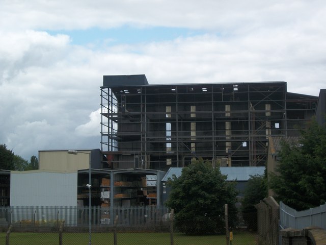
Ditherington is known for its rich history, with evidence of human habitation dating back to the Roman times. The village is home to several historic buildings, including the Grade II listed Ditherington Flax Mill, which is considered the world's first iron-framed building and a significant landmark in industrial architecture. The mill was constructed in 1796 and operated as a flax mill until the early 20th century. Today, it stands as a symbol of the village's industrial past and is currently undergoing restoration for future use.

The village itself boasts a tight-knit community, with a population of around 500 residents. It offers a peaceful and tranquil atmosphere, making it an ideal place for those seeking a rural lifestyle. Despite its small size, Ditherington has a strong sense of community spirit and hosts various local events throughout the year, including fairs and festivals.

While Ditherington may not have a wide range of amenities, residents have easy access to the nearby town of Shrewsbury, where they can find a more extensive range of services, shops, and entertainment options. The village is well-connected by road, with the A49 passing close by, providing convenient transportation links to other parts of the county.

In summary, Ditherington is a charming, historic village in Shropshire, offering a tranquil setting and a close-knit community. Its rich history and picturesque surroundings make it an attractive place to live for those seeking a peaceful countryside lifestyle.

If you have any feedback on the listing, please let us know in the comments section below.
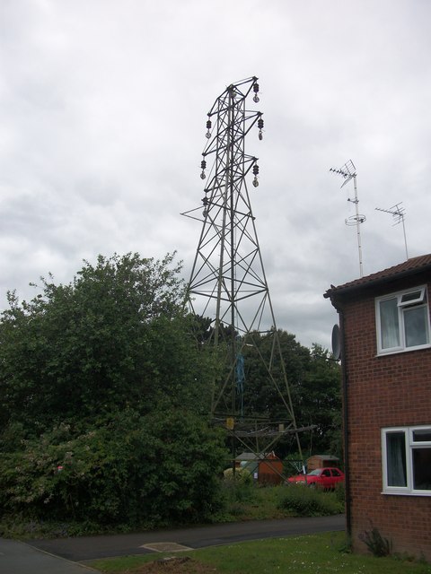
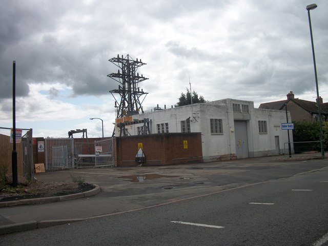
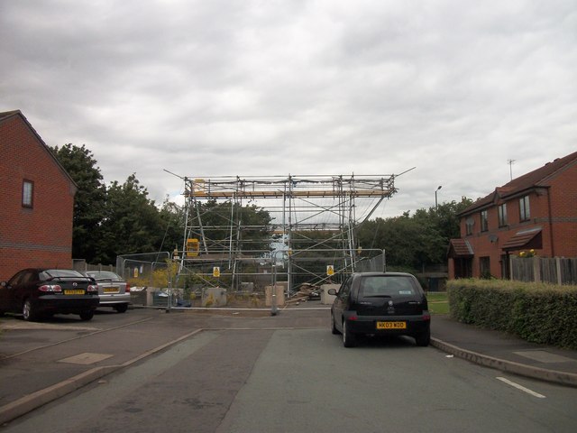
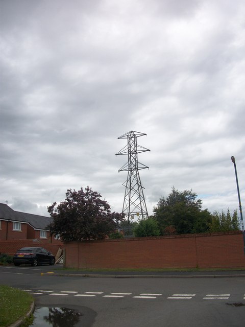
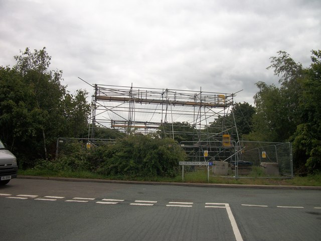
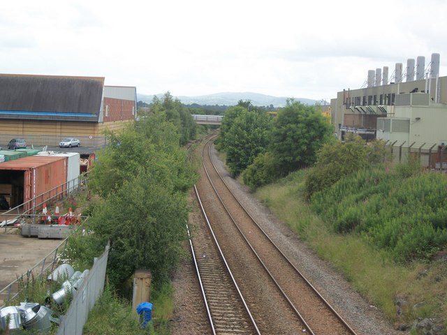
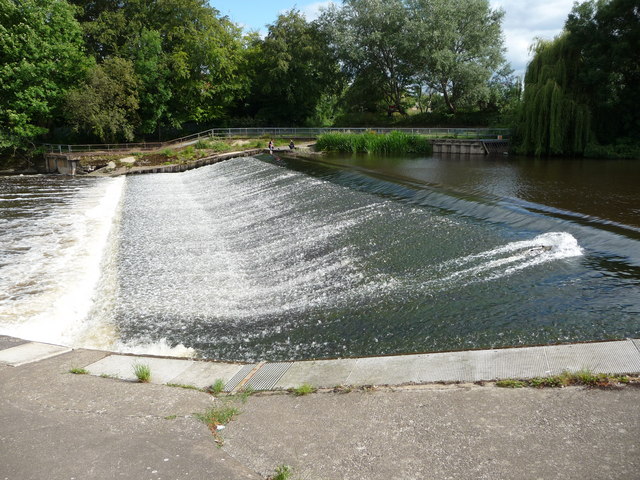
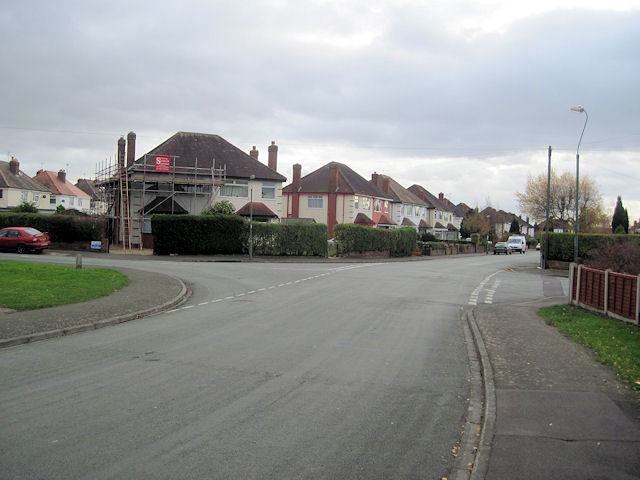
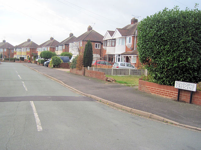
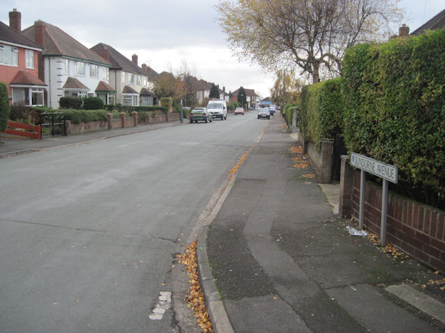
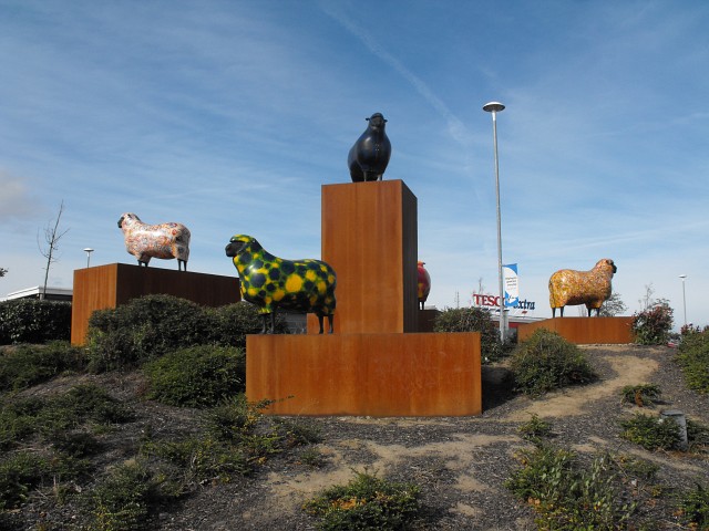
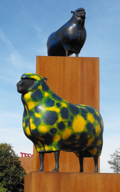
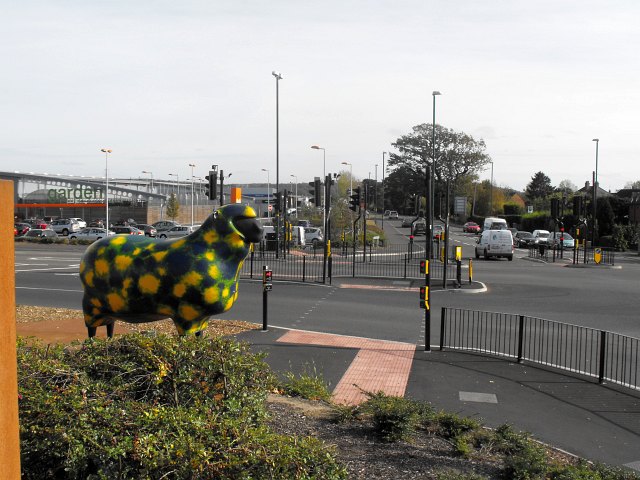
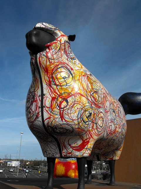
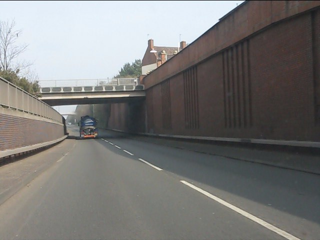
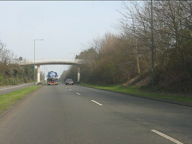
Ditherington Images

Images are sourced within 2km of 52.722779/-2.735833 or Grid Reference SJ5014. Thanks to Geograph Open Source API. All images are credited.

Disused electricity pylon
Electricity Substation Now out of use
Electricity Substation
Now out of use
Removing the Overhead Cables At last the overhead cables have been removed from over these houses
Removing the Overhead Cables
At last the overhead cables have been removed from over these houses
Now out of use pylon
Removing the Overhead Cables
Old animal food storage
Crewe to Shrewsbury Line
Weir on the River Severn in Shrewsbury A splendid weir on a summer's day.
Weir on the River Severn in Shrewsbury
A splendid weir on a summer's day.
The Sentinel in Morrisons Supermarket Morrisons Supermarket was built on part of the site of the Sentinel Waggon Works and this piece of marquetry was installed in the cafe to commemorate this.

Unfortunately part of the work has now been obscured by some of the cafe equipment.
The Sentinel in Morrisons Supermarket
Morrisons Supermarket was built on part of the site of the Sentinel Waggon Works and this piece of marquetry was installed in the cafe to commemorate this. Unfortunately part of the work has now been obscured by some of the cafe equipment.
Sundorne Avenue towards Sundorne Crescent Looking south the road junction here is where Sundorne Crescent crosses Sundorne Avenue
Sundorne Avenue towards Sundorne Crescent
Looking south the road junction here is where Sundorne Crescent crosses Sundorne Avenue
Sundorne Crescent from Sundorne Avenue This is the west arm of the crescent
Sundorne Crescent from Sundorne Avenue
This is the west arm of the crescent
Sundorne Avenue looking south From Sundorne Crescent junction
Sundorne Avenue looking south
From Sundorne Crescent junction
The Tesco sheep Sited on the southern corner of Tesco Extra car park at the junction of Harlescott Lane and Battlefield Road. Other roads meeting at this traffic-light controlled junction are Featherbed Lane and Whitchurch Road.
I think these multi-coloured fibreglass sheep are rather fun and I'm pleased to see they have the right sort of 'haircut' to be Shropshires.
The Tesco sheep
Sited on the southern corner of Tesco Extra car park at the junction of Harlescott Lane and Battlefield Road. Other roads meeting at this traffic-light controlled junction are Featherbed Lane and Whitchurch Road. I think these multi-coloured fibreglass sheep are rather fun and I'm pleased to see they have the right sort of 'haircut' to be Shropshires.
The Tesco sheep, Harlescott Sited on the southern corner of Tesco Extra car park at the junction of Harlescott Lane and Battlefield Road. Other roads meeting at this traffic-light controlled junction are Featherbed Lane and Whitchurch Road.
I think these multi-coloured fibreglass sheep are rather fun and I'm pleased to see they have the right sort of 'haircut' to be Shropshires.
The Tesco sheep, Harlescott
Sited on the southern corner of Tesco Extra car park at the junction of Harlescott Lane and Battlefield Road. Other roads meeting at this traffic-light controlled junction are Featherbed Lane and Whitchurch Road. I think these multi-coloured fibreglass sheep are rather fun and I'm pleased to see they have the right sort of 'haircut' to be Shropshires.
View down Featherbed Lane From the Tesco sheep, Harlescott.
View down Featherbed Lane
From the Tesco sheep, Harlescott.
Tesco sheep, Harlescott With the Tesco carpark in the background.
Tesco sheep, Harlescott
With the Tesco carpark in the background.
Bage Way - Abbey Foregate bridge
Bage Way - Dark Lane footbridge
Show me another place!

Ditherington is located at Grid Ref: SJ5014 (Lat: 52.722779, Lng: -2.735833)

Unitary Authority: Shropshire

Police Authority: West Mercia

What 3 Words

///fake.scale.freed. Near Shrewsbury, Shropshire

Related Wikis

Ditherington

Ditherington is a suburb of the town of Shrewsbury, the county town of Shropshire, England. It is the fourth most deprived ward in the Shropshire unitary...

Heathgates

Heathgates is a small suburb and the name of a notable roundabout in Shrewsbury, England; it is also the name for a short stretch of the A5191 road leading...

Underdale, Shrewsbury

Underdale is a district of the town of Shrewsbury, county town of Shropshire, England. It is situated between the suburbs of Monkmoor and Castlefields...

Ditherington Flax Mill

Ditherington Flax Mill (promoted as the Shrewsbury Flaxmill Maltings), a flax mill located in Ditherington, a suburb of Shrewsbury, England, is the first...

Sentinel Waggon Works

Sentinel Waggon Works Ltd was a British company based in Shrewsbury, Shropshire that made steam-powered lorries (steam wagons), railway locomotives, and...

Monkmoor

Monkmoor is a suburb located in the north-east of the town of Shrewsbury, Shropshire, England. It is connected to the suburbs of Underdale and Abbey Foregate...

BBC Radio Shropshire

BBC Radio Shropshire is the BBC's local radio station serving Shropshire. It broadcasts on FM, DAB, digital TV and via BBC Sounds from studios on Boscobel...

A5112 road

The A5112 is a road in Shropshire, England that runs north–south through the town of Shrewsbury. It runs around the town centre, to the east, and acts...

Nearby Amenities

Located within 500m of 52.722779,-2.735833
Barrier: cycle_barrier
Bicycle: dismount
Cycle Barrier: double
Foot: designated
Horse: yes
Motor Vehicle: no
Lat/Long: 52.7224566/-2.7353794
Power: substation
Ref: G.P.O. Ditherington S/S 01407
Source: survey
Lat/Long: 52.7224395/-2.7367127
Traffic Signals
Lat/Long: 52.7252817/-2.7375598
Pub
The Heathgates
Addr City: Shrewsbury
Addr Country: GB
Addr Housenumber: 2
Addr Postcode: SY1 4DW
Addr Street: Whitchurch Road
Fhrs Authority: Shropshire
Fhrs Id: 1278120
Fhrs Local Authority Id: 20/00631/COMM
Lat/Long: 52.7268574/-2.7351912
Turning Circle
Lat/Long: 52.7262827/-2.7380163
Post Box
Post Box Type: pillar
Ref: SY1 583
Lat/Long: 52.726491/-2.7386637
Telephone
Booth: KX100
Covered: booth
Lat/Long: 52.7261482/-2.7381843
Give Way
Direction: forward
Lat/Long: 52.7213031/-2.7294146
Underdale Hall
Access: private
Building: house
Lat/Long: 52.7223816/-2.7295561
Bus Stop
Bench: no
Bin: no
Bus: yes
Mapillary: 772670136638461
Public Transport: platform
Shelter: no
Survey Date: 2020-07-13
Lat/Long: 52.7204382/-2.7416076
Turning Circle
Lat/Long: 52.723868/-2.739821
Pub
The Compasses Inn
Addr City: Shrewsbury
Addr Country: GB
Addr Housenumber: 45
Addr Postcode: SY1 4DE
Addr Street: Long Row
Fhrs Authority: Shropshire
Fhrs Id: 188812
Fhrs Local Authority Id: 34780
Lat/Long: 52.7254405/-2.7400089
Traffic Signals
Crossing: traffic_signals
Crossing Ref: toucan
Traffic Signals: pedestrian_crossing
Traffic Signals Direction: both
Lat/Long: 52.7228601/-2.7393195
Post Box
Operator: Royal Mail
Operator Wikidata: Q638098
Post Box Type: wall
Ref: SY1 128
Lat/Long: 52.7238434/-2.7387962
Barrier: bollard
Motor Vehicle: no
Lat/Long: 52.7251475/-2.73961
Post Box
Collection Times: Mo-Fr 09:00, Sa 07:00
Ref: SY2 558
Lat/Long: 52.7205275/-2.7309456
Bus Stop
Bus: yes
Public Transport: platform
Shelter: no
Lat/Long: 52.7249487/-2.7379426
Bus Stop
Bus: yes
Public Transport: platform
Lat/Long: 52.7259251/-2.7380556
Bus Stop
Comet Drive
Bin: yes
Bus: yes
Covered: yes
Public Transport: platform
Lat/Long: 52.7230926/-2.7390409
Bus Stop
The Coach
Bench: no
Bin: no
Bus: yes
Mapillary: 303322847956808
Public Transport: platform
Shelter: no
Survey Date: 2022-03-23
Lat/Long: 52.7225878/-2.7396006
Bus Stop
Bench: yes
Bin: yes
Bus: yes
Naptan AtcoCode: 3500B420401
Naptan NaptanCode: shrdadtm
Public Transport: platform
Shelter: yes
Tactile Paving: no
Lat/Long: 52.7246336/-2.7379748
Ditherington
Place: suburb
Wikidata: Q5283659
Wikipedia: en:Ditherington
Lat/Long: 52.7235211/-2.7394832
Atm
RBS
Brand: RBS
Brand Wikidata: Q160126
Brand Wikipedia: en:Royal Bank of Scotland
Fee: no
Official Name: Royal Bank of Scotland
Operator: RBS
Operator Wikidata: Q160126
Lat/Long: 52.7228133/-2.7391159
Bus Stop
Heathgates
Bin: yes
Bus: yes
Covered: yes
Public Transport: platform
Shelter: yes
Lat/Long: 52.7266064/-2.7346837
Bus Stop
Heathgates
Bench: no
Bus: yes
Covered: no
Departures Board: yes
Pole: yes
Public Transport: platform
Shelter: no
Lat/Long: 52.7266933/-2.7347132
Bus Stop
Bus: yes
Public Transport: platform
Lat/Long: 52.7270994/-2.7356729
Bus Stop
Heathgates, Whitchurch Road
Bench: yes
Bin: yes
Bus: yes
Mapillary: 683726925753437
Naptan AtcoCode: 3500B113100
Naptan NaptanCode: shrajtwd
Public Transport: platform
Shelter: yes
Survey Date: 2020-06-12
Tactile Paving: no
Lat/Long: 52.7271252/-2.7352907
Bench
Lat/Long: 52.7250847/-2.731858
Turning Circle
Lat/Long: 52.7228194/-2.7426615
Heathgates
Place: locality
Wikidata: Q5694288
Wikipedia: en:Heathgates
Lat/Long: 52.7257053/-2.7347047
Building: yes
Power: substation
Ref: Spring Gardens S/S 01610
Substation: minor_distribution
Lat/Long: 52.7206161/-2.7403548
Crossing
Kerb: lowered
Lat/Long: 52.7204379/-2.7308283
Crossing
Crossing: unmarked
Kerb: lowered
Tactile Paving: no
Lat/Long: 52.7201353/-2.7305927
Give Way
Direction: forward
Lat/Long: 52.7206478/-2.7299538
Crossing
Crossing: unmarked
Crossing Island: yes
Tactile Paving: yes
Lat/Long: 52.7208111/-2.7304955
Crossing
Bicycle: yes
Crossing: traffic_signals
Crossing Island: no
Crossing Ref: toucan
Tactile Paving: yes
Lat/Long: 52.7242066/-2.7345622
Cycleway: asl
Direction: backward
Lat/Long: 52.7253546/-2.7378038
Crossing
Crossing: unmarked
Crossing Island: no
Crossing Markings: no
Tactile Paving: yes
Lat/Long: 52.7262996/-2.7356442
Crossing
Crossing: unmarked
Crossing Island: no
Crossing Markings: no
Kerb: lowered
Tactile Paving: yes
Lat/Long: 52.7263189/-2.7354908
Barrier: kerb
Kerb: flush
Tactile Paving: yes
Lat/Long: 52.7263219/-2.7355786
Barrier: kerb
Kerb: flush
Tactile Paving: yes
Lat/Long: 52.7263228/-2.7355193
Crossing
Crossing: unmarked
Crossing Markings: no
Kerb: lowered
Tactile Paving: yes
Lat/Long: 52.726595/-2.7352277
Crossing
Crossing: unmarked
Crossing Markings: no
Kerb: lowered
Tactile Paving: yes
Lat/Long: 52.7266587/-2.7352182
Building: residential
Lat/Long: 52.7259896/-2.7373738
Sun City
Lat/Long: 52.7226636/-2.739214
Shop: hairdresser
Lat/Long: 52.7227063/-2.7391967
Fast Food
Pepes Piri Piri
Addr City: Shrewsbury
Addr Country: GB
Addr Housenumber: 36
Addr Postcode: SY1 4AU
Addr Street: Ditherington Road
Fhrs Authority: Shropshire
Fhrs Id: 1641028
Fhrs Local Authority Id: 23/00547/COMM
Lat/Long: 52.7243057/-2.7379875
Fast Food
Pizza Hut Delivery
Addr City: Shrewsbury
Addr Country: GB
Addr Housenumber: 34b
Addr Postcode: SY1 4AU
Addr Street: Ditherington Road
Brand: Pizza Hut Delivery
Brand Wikidata: Q107293079
Brand Wikipedia: en:Pizza Hut
Cuisine: pizza
Delivery: yes
Fhrs Authority: Shropshire
Fhrs Id: 665916
Fhrs Local Authority Id: 202251
Takeaway: only
Lat/Long: 52.7242538/-2.7380252
Atm
RBS
Brand: RBS
Brand Wikidata: Q160126
Brand Wikipedia: en:Royal Bank of Scotland
Official Name: Royal Bank of Scotland
Operator: RBS
Operator Wikidata: Q160126
Lat/Long: 52.7243527/-2.7384881
Fast Food
Pisces
Addr City: Shrewsbury
Addr Housenumber: 36A
Addr Postcode: SY1 4AU
Addr Street: Ditherington Road
Cuisine: fish_and_chips
Fhrs Authority: Shropshire
Fhrs Id: 1655184
Fhrs Local Authority Id: 23/00649/COMM
Source Addr: FHRS Open Data
Lat/Long: 52.7243584/-2.7379479
Barrier: cycle_barrier
Bicycle: dismount
Cycle Barrier: double
Cycle Barrier Installation: fixed
Foot: yes
Horse: no
Lat/Long: 52.7209557/-2.7405956
Dorset Pools
Lat/Long: 52.7241599/-2.73202
Loans2Go
Shop: money_lender
Source: mapillary
Website: https://loans2go.co.uk/locations/shrewsbury-loans-2-go/
Lat/Long: 52.7243623/-2.7386181
Boots Blessed With Gold
Board Type: history
Information: board
Lat/Long: 52.7220717/-2.7321692
Crossing
Crossing: unmarked
Crossing Markings: no
Lat/Long: 52.7265406/-2.7362238
Crossing
Crossing: unmarked
Crossing Markings: no
Lat/Long: 52.7265084/-2.7361621
Crossing
Crossing: unmarked
Crossing Markings: no
Lat/Long: 52.7264107/-2.736046
Crossing
Crossing: unmarked
Crossing Island: no
Crossing Markings: no
Tactile Paving: yes
Lat/Long: 52.7264487/-2.7364575
Crossing
Crossing: unmarked
Crossing Island: no
Crossing Markings: no
Tactile Paving: yes
Lat/Long: 52.726926/-2.7355829
Crossing
Crossing: unmarked
Crossing Island: no
Crossing Markings: no
Tactile Paving: yes
Lat/Long: 52.7269382/-2.7356958
Crossing
Crossing: unmarked
Crossing Island: no
Crossing Markings: no
Tactile Paving: yes
Lat/Long: 52.7263164/-2.7361823
Generator Method: photovoltaic
Generator Output Electricity: yes
Generator Source: solar
Generator Type: solar_photovoltaic_panel
Location: roof
Power: generator
Lat/Long: 52.7253524/-2.7405095
Generator Method: photovoltaic
Generator Output Electricity: yes
Generator Source: solar
Generator Type: solar_photovoltaic_panel
Location: roof
Power: generator
Lat/Long: 52.7264197/-2.7390987
Generator Method: photovoltaic
Generator Output Electricity: yes
Generator Source: solar
Generator Type: solar_photovoltaic_panel
Location: roof
Power: generator
Lat/Long: 52.7262146/-2.7394634
Generator Method: photovoltaic
Generator Output Electricity: yes
Generator Source: solar
Generator Type: solar_photovoltaic_panel
Location: roof
Power: generator
Lat/Long: 52.7262751/-2.7392891
Generator Method: photovoltaic
Generator Output Electricity: yes
Generator Source: solar
Generator Type: solar_photovoltaic_panel
Location: roof
Power: generator
Lat/Long: 52.725856/-2.7404907
Generator Method: photovoltaic
Generator Output Electricity: yes
Generator Source: solar
Generator Type: solar_photovoltaic_panel
Location: roof
Power: generator
Lat/Long: 52.7231723/-2.7380526
Generator Method: photovoltaic
Generator Output Electricity: yes
Generator Source: solar
Generator Type: solar_photovoltaic_panel
Location: roof
Power: generator
Lat/Long: 52.723864/-2.7367589
Generator Method: photovoltaic
Generator Output Electricity: yes
Generator Source: solar
Generator Type: solar_photovoltaic_panel
Location: roof
Power: generator
Lat/Long: 52.7206835/-2.7313042
Generator Method: photovoltaic
Generator Output Electricity: yes
Generator Source: solar
Generator Type: solar_photovoltaic_panel
Location: roof
Power: generator
Lat/Long: 52.7190767/-2.7323771
Generator Method: photovoltaic
Generator Output Electricity: yes
Generator Source: solar
Generator Type: solar_photovoltaic_panel
Location: roof
Power: generator
Lat/Long: 52.7191141/-2.7325031
Generator Method: photovoltaic
Generator Output Electricity: yes
Generator Source: solar
Generator Type: solar_photovoltaic_panel
Location: roof
Power: generator
Lat/Long: 52.7191424/-2.7326331
Turning Circle
Lat/Long: 52.7221163/-2.7403849
Bench
Backrest: yes
Seats: 2
Lat/Long: 52.7204325/-2.7400187
Waste Basket
Waste: trash
Lat/Long: 52.7204123/-2.7400322
Barrier: cycle_barrier
Bicycle: dismount
Cycle Barrier: double
Foot: designated
Motor Vehicle: private
Lat/Long: 52.7224158/-2.7355955
Barrier: bollard
Bicycle: designated
Foot: designated
Horse: yes
Motor Vehicle: no
Lat/Long: 52.724738/-2.7417987
Barrier: bollard
Bicycle: designated
Bollard: foldable
Foot: designated
Motor Vehicle: no
Lat/Long: 52.7195468/-2.7309711
Give Way
Direction: forward
Lat/Long: 52.7228876/-2.7360197
Give Way
Direction: backward
Lat/Long: 52.723124/-2.7356792
Crossing
Crossing: marked
Crossing Island: no
Crossing Markings: yes
Crossing Ref: puffin
Tactile Paving: yes
Lat/Long: 52.7253396/-2.7377535
Crossing
Crossing: marked
Crossing Island: no
Crossing Markings: yes
Crossing Ref: puffin
Tactile Paving: yes
Lat/Long: 52.7251192/-2.737686
Cycleway: asl
Direction: backward
Lat/Long: 52.7251036/-2.737698
Cycleway: asl
Direction: forward
Lat/Long: 52.725305/-2.7375384
Give Way
Direction: forward
Lat/Long: 52.7269385/-2.737484
Give Way
Lat/Long: 52.7266882/-2.7361255
Barrier: kerb
Kerb: flush
Lat/Long: 52.7263747/-2.7360123
Barrier: kerb
Kerb: flush
Lat/Long: 52.7265575/-2.7362579
Barrier: kerb
Kerb: flush
Lat/Long: 52.7264306/-2.7360632
Barrier: kerb
Kerb: flush
Lat/Long: 52.7264695/-2.7361126
Barrier: kerb
Kerb: flush
Lat/Long: 52.7265245/-2.736193
Barrier: kerb
Kerb: flush
Tactile Paving: yes
Lat/Long: 52.7262793/-2.735716
Barrier: kerb
Kerb: flush
Tactile Paving: yes
Lat/Long: 52.7263158/-2.7354403
Barrier: kerb
Kerb: flush
Tactile Paving: yes
Lat/Long: 52.7265466/-2.7352022
Barrier: kerb
Kerb: flush
Tactile Paving: yes
Lat/Long: 52.726701/-2.7351919
Barrier: kerb
Kerb: flush
Tactile Paving: yes
Lat/Long: 52.7266384/-2.7352304
Barrier: kerb
Kerb: flush
Tactile Paving: yes
Lat/Long: 52.7266149/-2.7352344
Barrier: kerb
Kerb: flush
Tactile Paving: yes
Lat/Long: 52.7269762/-2.7357614
Barrier: kerb
Kerb: flush
Tactile Paving: yes
Lat/Long: 52.7269324/-2.7356677
Barrier: kerb
Kerb: flush
Tactile Paving: yes
Lat/Long: 52.7269271/-2.7354856
Barrier: kerb
Kerb: flush
Tactile Paving: yes
Lat/Long: 52.7269267/-2.7356076
Give Way
Direction: backward
Lat/Long: 52.7189926/-2.7321812
Give Way
Direction: backward
Lat/Long: 52.7192041/-2.7321524
Give Way
Direction: backward
Lat/Long: 52.7188729/-2.7372932
The data included in this document is from www.openstreetmap.org. The data is made available under ODbL.

Have you been to Ditherington?

Leave your review of Ditherington below (or comments, questions and feedback).