Heathgates
Settlement in Shropshire
England
Heathgates
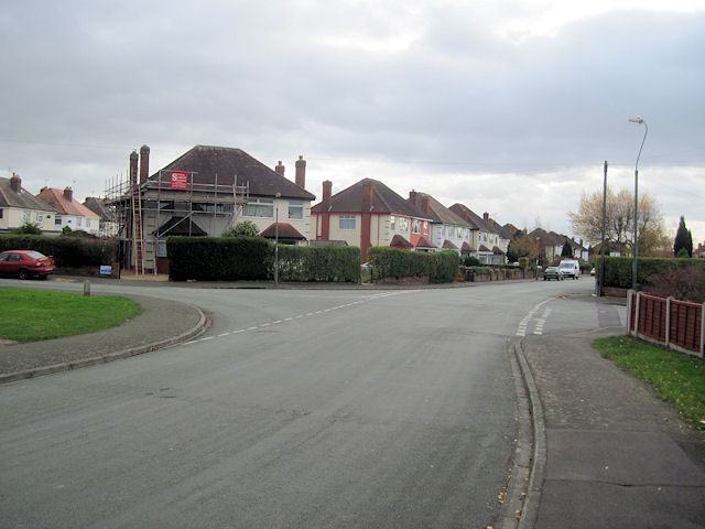
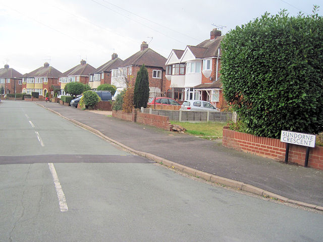
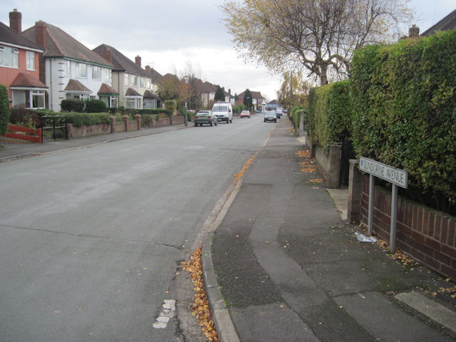
Heathgates is a small village located in the county of Shropshire, England. Situated just outside the town of Telford, it lies in the western part of the county, surrounded by picturesque countryside and rolling hills. With a population of around 2,500 residents, it offers a peaceful and close-knit community atmosphere.
The village is well-served in terms of amenities, with a range of shops, supermarkets, and local businesses catering to the needs of its residents. There are also several pubs and restaurants, offering a variety of dining options for locals and visitors alike. Additionally, the village has a primary school and a community center, providing essential services and facilities for its residents.
Heathgates enjoys good transport links, with easy access to the M54 motorway, which connects it to other major towns and cities in the area. The nearby Telford Central railway station provides rail connections to London, Birmingham, and other destinations across the country.
Nature lovers will appreciate the village's proximity to the beautiful Shropshire countryside, offering numerous opportunities for outdoor activities such as hiking, cycling, and wildlife spotting. The surrounding area also boasts several historical landmarks and tourist attractions, including the Ironbridge Gorge World Heritage Site, which is just a short drive away.
Overall, Heathgates, Shropshire offers a tranquil and friendly village setting, with a range of amenities and easy access to both rural and urban attractions.
If you have any feedback on the listing, please let us know in the comments section below.
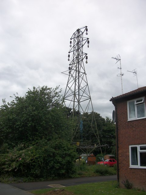
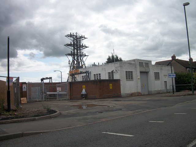
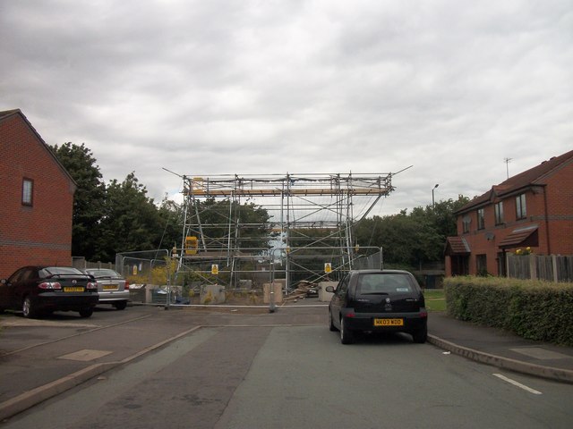
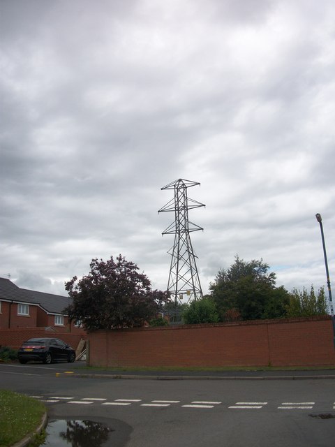
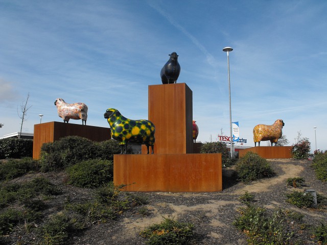
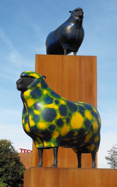
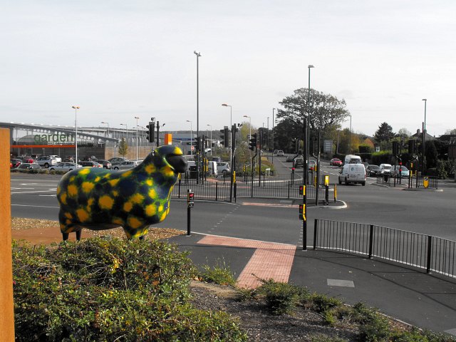
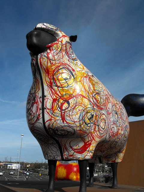
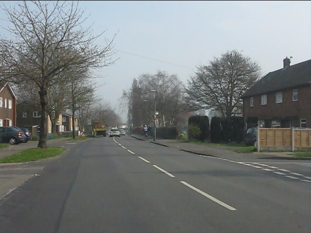
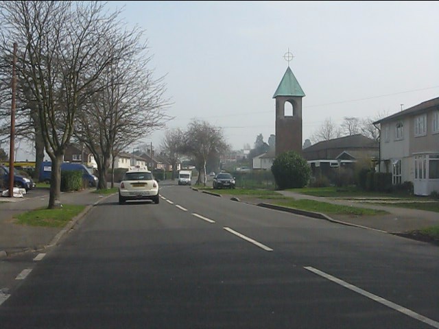
Heathgates Images
Images are sourced within 2km of 52.726734/-2.7337419 or Grid Reference SJ5014. Thanks to Geograph Open Source API. All images are credited.
Heathgates is located at Grid Ref: SJ5014 (Lat: 52.726734, Lng: -2.7337419)
Unitary Authority: Shropshire
Police Authority: West Merica
What 3 Words
///orange.sleep.wanted. Near Shrewsbury, Shropshire
Nearby Locations
Related Wikis

Ditherington
Ditherington is a suburb of the town of Shrewsbury, the county town of Shropshire, England. It is the fourth most deprived ward in the Shropshire unitary...

Heathgates
Heathgates is a small suburb and the name of a notable roundabout in Shrewsbury, England; it is also the name for a short stretch of the A5191 road leading...
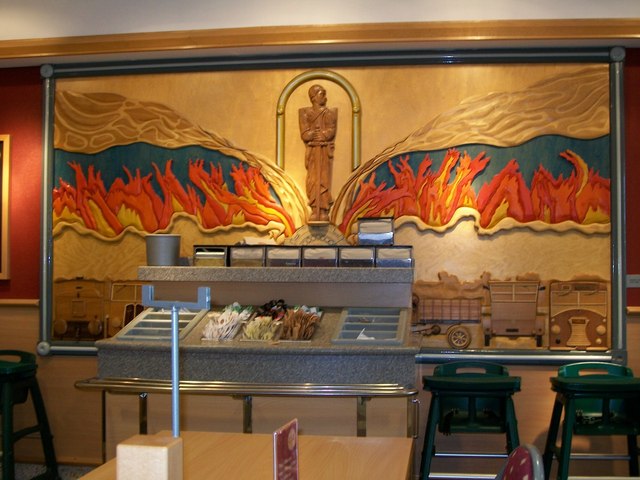
Sentinel Waggon Works
Sentinel Waggon Works Ltd was a British company based in Shrewsbury, Shropshire that made steam-powered lorries (steam wagons), railway locomotives, and...

BBC Radio Shropshire
BBC Radio Shropshire is the BBC's local radio station serving Shropshire. It broadcasts on FM, DAB, digital TV and via BBC Sounds from studios on Boscobel...
Nearby Amenities
Located within 500m of 52.726734,-2.7337419Have you been to Heathgates?
Leave your review of Heathgates below (or comments, questions and feedback).