Well Wood
Wood, Forest in Derbyshire Amber Valley
England
Well Wood
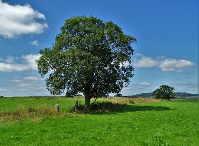
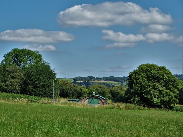
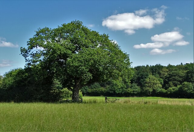
Well Wood is a picturesque forest located in Derbyshire, England. Covering an area of approximately 500 acres, it is a popular destination for nature enthusiasts and outdoor adventurers alike. The wood is known for its diverse ecosystem, comprising a mix of deciduous and coniferous trees, providing a haven for various species of flora and fauna.
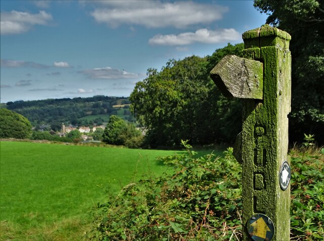
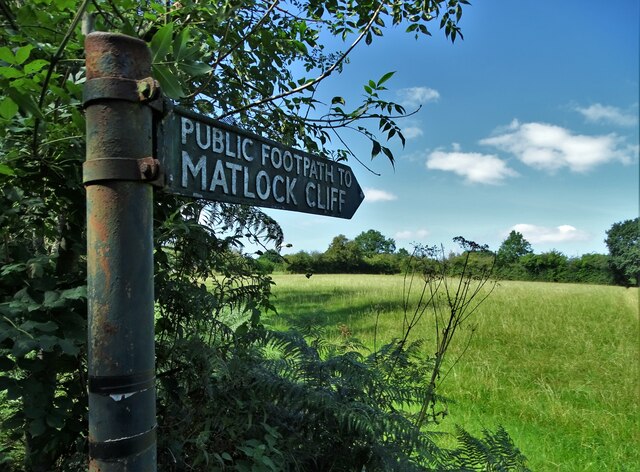
The forest is easily accessible, nestled within the rolling hills of Derbyshire. Visitors can explore the wood via a network of well-maintained footpaths and trails that wind through the lush vegetation. These paths offer stunning views of the surrounding countryside, making it a favorite spot for hikers and nature lovers.
Well Wood is home to a wide range of wildlife, including deer, foxes, rabbits, and a variety of bird species. Birdwatchers can often spot woodpeckers, owls, and buzzards among the treetops. The forest also houses several rare plant species, such as the lady's slipper orchid, which adds to its ecological importance.
For those seeking tranquility and relaxation, Well Wood provides a peaceful retreat away from the hustle and bustle of city life. The serene atmosphere and natural beauty make it an ideal location for picnics, photography, or simply unwinding amidst the soothing sounds of nature.
Furthermore, the wood offers educational opportunities, with guided nature walks and workshops available to learn about the diverse ecosystem and conservation efforts. The forest is also a designated Site of Special Scientific Interest (SSSI), highlighting its ecological significance.
Overall, Well Wood in Derbyshire is a captivating destination that showcases the beauty of nature and provides a sanctuary for both wildlife and visitors seeking a peaceful escape.
If you have any feedback on the listing, please let us know in the comments section below.
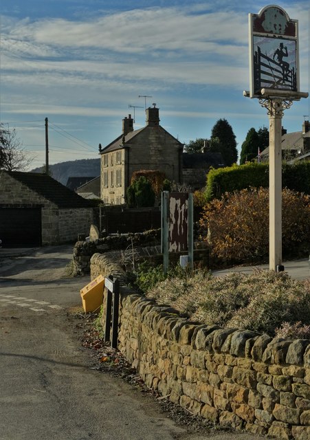
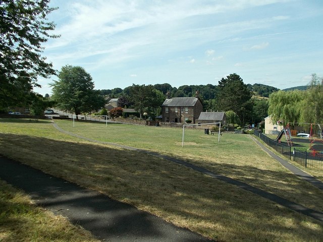
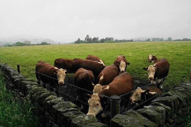
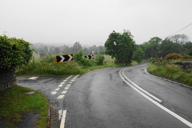
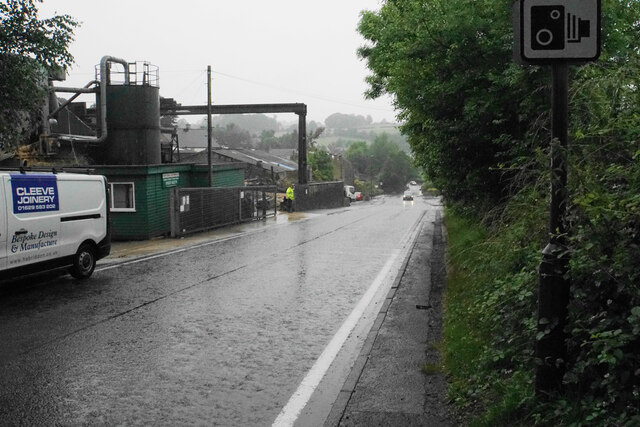
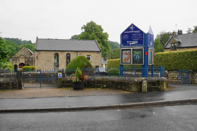
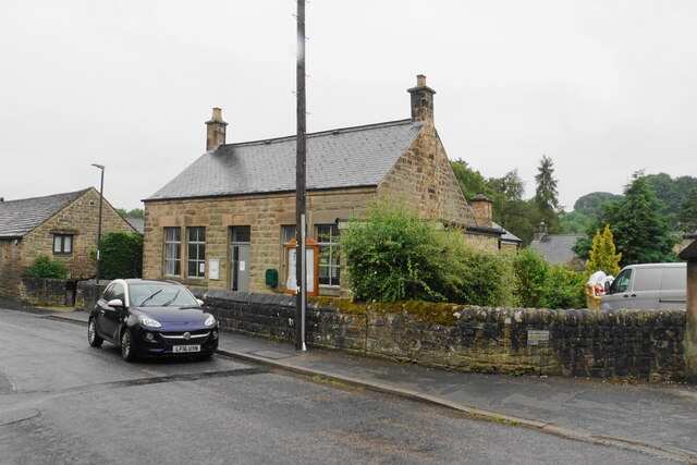
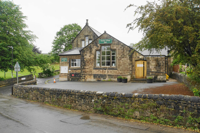
Well Wood Images
Images are sourced within 2km of 53.120573/-1.5109047 or Grid Reference SK3258. Thanks to Geograph Open Source API. All images are credited.


Well Wood is located at Grid Ref: SK3258 (Lat: 53.120573, Lng: -1.5109047)
Administrative County: Derbyshire
District: Amber Valley
Police Authority: Derbyshire
What 3 Words
///vertical.laces.logbook. Near Tansley, Derbyshire
Nearby Locations
Related Wikis
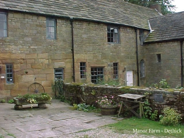
Dethick Manor
Dethick Manor is a 16th-century manor house, situated at Dethick, Amber Valley, Derbyshire, much altered in the 18th century and converted to use as a...

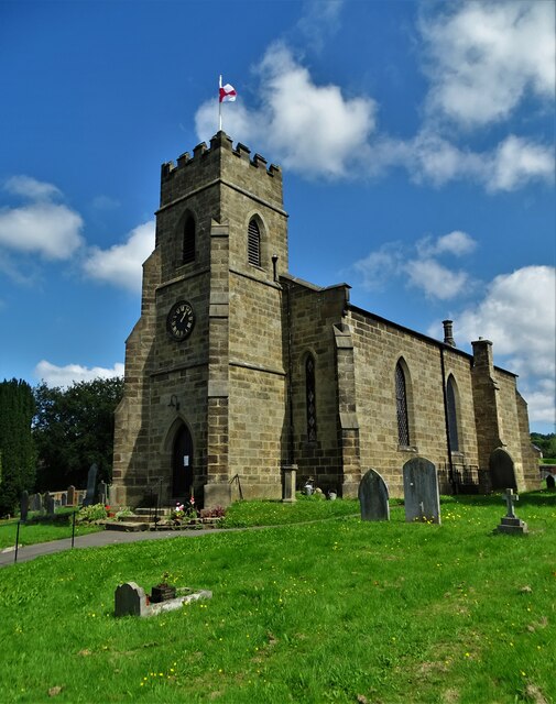
St John the Baptist's Church, Dethick
St John the Baptist's Church, Dethick is a Grade II* listed parish church in the Church of England in Dethick, Derbyshire. == History == The church was...

St Michael and All Angels' Church, Littlethorpe
St Michael and All Angels’ Church, Littlethorpe is a Grade II listed parish church in the Church of England in Littlethorpe, North Yorkshire England....

Tansley
Tansley is a village on the southern edge of the Derbyshire Peak District, two miles east of Matlock. == History == Tansley is recorded in the Domesday...

Christ Church, Holloway
Christ Church, Holloway is a Grade II* listed parish church in the Church of England in Holloway, Derbyshire. == History == The foundation stone was laid...
Riber
Riber is a hamlet in the civil parish of Matlock Town, in the Derbyshire Dales district, in the county of Derbyshire, England. It is situated high on a...

Holy Trinity Church, Tansley
Holy Trinity Church, Tansley is a parish church in the Church of England in Tansley, Derbyshire. == History == The foundation stone was laid on 1 May 1839...

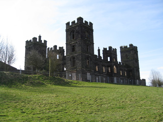
Riber Castle
Riber Castle is a 19th-century Grade II listed country house in the hamlet of Riber on a hill overlooking Matlock, Derbyshire. It is built of gritstone...
Nearby Amenities
Located within 500m of 53.120573,-1.5109047Have you been to Well Wood?
Leave your review of Well Wood below (or comments, questions and feedback).