Cunnery Corner Wood

Wood, Forest in Derbyshire Amber Valley

England

Cunnery Corner Wood

New road into Whitelea Nursery The nursery is doing some expansion with extra polytunnels, but it is also likely that some of the land will be used for new housing. The building on the left is a potting shed.
New road into Whitelea Nursery Credit: Bill Boaden

Cunnery Corner Wood is a beautiful woodland located in Derbyshire, England. Covering an area of approximately 50 acres, this forested area is a cherished natural gem in the region. The wood is situated near the village of Cunnery and is easily accessible to both locals and visitors alike.

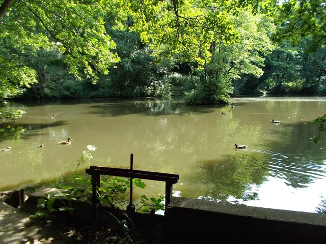
The wood is mainly composed of broadleaf trees, including oak, beech, and birch, which create a dense canopy overhead. The lush undergrowth consists of ferns, bluebells, and various wildflowers, adding a vibrant touch to the woodland floor during spring and summer. Additionally, the wood is home to a rich diversity of wildlife, including birds, squirrels, and foxes, making it a perfect spot for nature enthusiasts to observe and appreciate local flora and fauna.

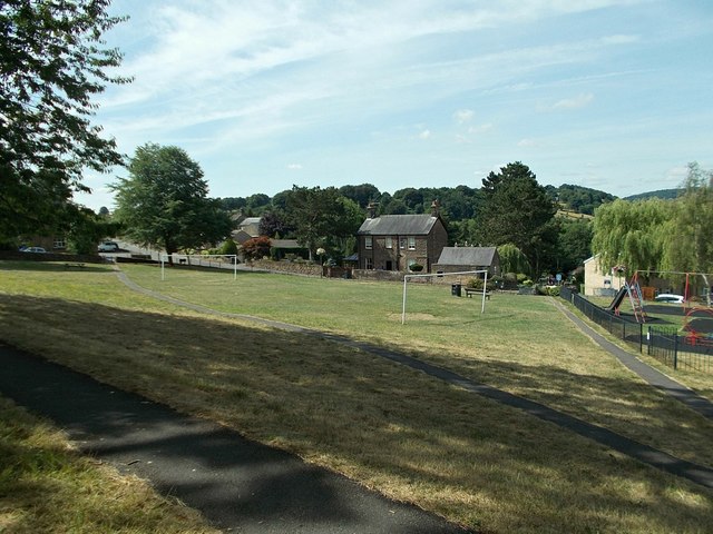
Cunnery Corner Wood offers several well-maintained walking trails, allowing visitors to explore its tranquil surroundings. These paths offer varying levels of difficulty, catering to both casual strollers and seasoned hikers. Along the way, there are numerous benches and picnic spots where visitors can take a break and enjoy the serene atmosphere.

The wood also holds historical significance, as it is believed to have been used for charcoal production during the Victorian era. Some remnants of this activity can still be found within the wood, adding an interesting insight into the area's past.

Overall, Cunnery Corner Wood is a picturesque woodland that offers a peaceful retreat from the hustle and bustle of everyday life. Its natural beauty, diverse wildlife, and historical heritage make it a must-visit destination for nature lovers and history enthusiasts alike.

If you have any feedback on the listing, please let us know in the comments section below.

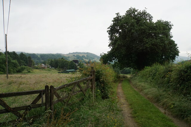
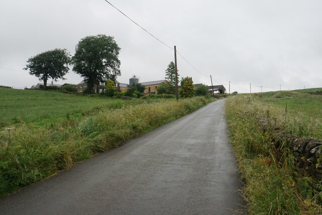
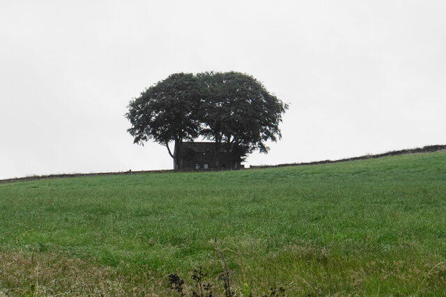
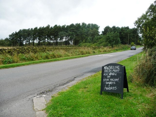
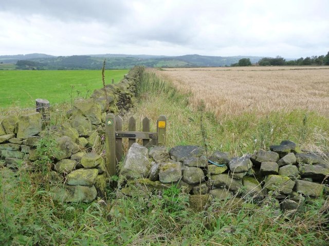
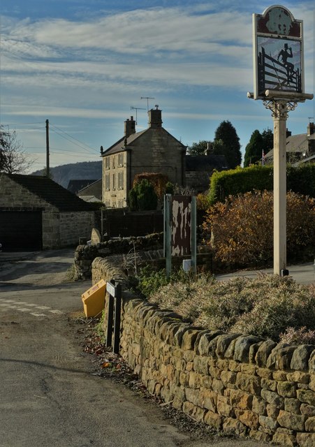
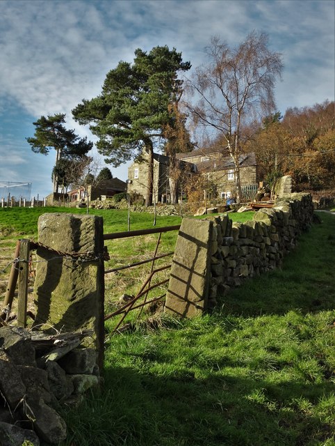
Cunnery Corner Wood Images

Images are sourced within 2km of 53.127002/-1.5112203 or Grid Reference SK3258. Thanks to Geograph Open Source API. All images are credited.

New road into Whitelea Nursery The nursery is doing some expansion with extra polytunnels, but it is also likely that some of the land will be used for new housing. The building on the left is a potting shed.
New road into Whitelea Nursery
The nursery is doing some expansion with extra polytunnels, but it is also likely that some of the land will be used for new housing. The building on the left is a potting shed.
Track down to Tansley A long-established track though it is not a public footpath.
Track down to Tansley
A long-established track though it is not a public footpath.
Home Farm Viewed from further down the hill on Whitelea Lane.
Home Farm
Viewed from further down the hill on Whitelea Lane.
Barn above Tansley Knoll Seen in profile from down the hill on Whitelea Lane.
Barn above Tansley Knoll
Seen in profile from down the hill on Whitelea Lane.
Ridge of farmland, west of Butterley Climbing up to 285 metres above sea level.
Ridge of farmland, west of Butterley
Climbing up to 285 metres above sea level.
Shelter belt, south side, Poorlots Quarry The sign in the foreground advertises a farm shop and a cafe.
Shelter belt, south side, Poorlots Quarry
The sign in the foreground advertises a farm shop and a cafe.
Barley field, south of Poorlots Quarry Looking westwards.
Barley field, south of Poorlots Quarry
Looking westwards.
Public footpath to Knabhall Lane Running west from an anonymous lane, along the south side of a barley field.
Public footpath to Knabhall Lane
Running west from an anonymous lane, along the south side of a barley field.
Outside "The Gate Inn" at Tansley Knoll Looking to The Rocks
Outside "The Gate Inn" at Tansley Knoll
Looking to The Rocks
By the track to Oakedge Farm
Millpond behind Scholes Mill
Tansley Green
Tansley Green
Oaksedge Lane, Tansley Knoll
Rough grassland by Butterley Lane This appears to be a field which has not had any recent use, and has reverted to moorland grass. The rain adds to the moorland atmosphere.
Rough grassland by Butterley Lane
This appears to be a field which has not had any recent use, and has reverted to moorland grass. The rain adds to the moorland atmosphere.
Fields near Tansley Viewed on a wet day, from Stretton Road towards the A615 which can't be seen yet.
Fields near Tansley
Viewed on a wet day, from Stretton Road towards the A615 which can't be seen yet.
Field of wheat near Tansley Viewed on a wet day.
Field of wheat near Tansley
Viewed on a wet day.
Cattle huddling in the corner The best shelter they could find on a wet day.
Cattle huddling in the corner
The best shelter they could find on a wet day.
Bend on Stretton Road If it were not a rainy day, you would see more of the Derwent valley ahead.
Bend on Stretton Road
If it were not a rainy day, you would see more of the Derwent valley ahead.
Show me another place!

Cunnery Corner Wood is located at Grid Ref: SK3258 (Lat: 53.127002, Lng: -1.5112203)

Administrative County: Derbyshire

District: Amber Valley

Police Authority: Derbyshire

What 3 Words

///dime.waddled.full. Near Tansley, Derbyshire

Related Wikis

Tansley

Tansley is a village on the southern edge of the Derbyshire Peak District, two miles east of Matlock. == History == Tansley is recorded in the Domesday...
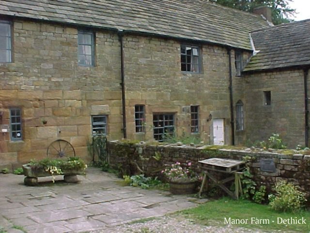
Dethick Manor

Dethick Manor is a 16th-century manor house, situated at Dethick, Amber Valley, Derbyshire, much altered in the 18th century and converted to use as a...

St Michael and All Angels' Church, Littlethorpe

St Michael and All Angels’ Church, Littlethorpe is a Grade II listed parish church in the Church of England in Littlethorpe, North Yorkshire England....

Holy Trinity Church, Tansley

Holy Trinity Church, Tansley is a parish church in the Church of England in Tansley, Derbyshire. == History == The foundation stone was laid on 1 May 1839...

St John the Baptist's Church, Dethick

St John the Baptist's Church, Dethick is a Grade II* listed parish church in the Church of England in Dethick, Derbyshire. == History == The church was...

Riber

Riber is a hamlet in the civil parish of Matlock Town, in the Derbyshire Dales district, in the county of Derbyshire, England. It is situated high on a...

Christ Church, Holloway

Christ Church, Holloway is a Grade II* listed parish church in the Church of England in Holloway, Derbyshire. == History == The foundation stone was laid...
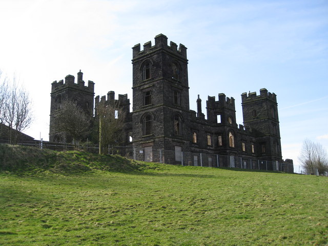
Riber Castle

Riber Castle is a 19th-century Grade II listed country house in the hamlet of Riber on a hill overlooking Matlock, Derbyshire. It is built of gritstone...

Nearby Amenities

Located within 500m of 53.127002,-1.5112203
Parking
Description: Patch of gravel
Ele: 202.0000000
Lat/Long: 53.126491/-1.5144208
Barrier: stile
Ele: 202.0000000
Material: stone
Stile: squeezer
Lat/Long: 53.1258191/-1.5150768
Barrier: stile
Ele: 223.0000000
Steps: 4
Stile: wall
Lat/Long: 53.1256401/-1.5082883
Barrier: stile
Ele: 226.0000000
Steps: 3
Stile: wall
Lat/Long: 53.126788/-1.5105318
Ele: 218
Lat/Long: 53.1264855/-1.5121733
Ele: 217
Lat/Long: 53.126582/-1.512463
Barrier: stile
Ele: 231.0000000
Steps: 3
Stile: wall
Lat/Long: 53.1246619/-1.5071493
Ele: 203
Lat/Long: 53.1264565/-1.5142936
Ele: 226
Lat/Long: 53.1267461/-1.510411
Ele: 214
Lat/Long: 53.1278108/-1.5104179
Barrier: stile
Ele: 206
Material: stone
Steps: 2
Stile: stepover
Lat/Long: 53.1231325/-1.5138509
Barrier: stile
Ele: 209
Material: stone
Steps: 3
Stile: stepover
Lat/Long: 53.1239818/-1.5141915
Ele: 216
Lat/Long: 53.1280048/-1.5089976
Barrier: stile
Material: stone
Stile: squeezer
Lat/Long: 53.1271436/-1.5155386
Barrier: stile
Stile: squeezer
Lat/Long: 53.1295055/-1.5160999
Barrier: stile
Stile: squeezer
Lat/Long: 53.1311927/-1.5139199
Generator Method: photovoltaic
Generator Output Electricity: yes
Generator Source: solar
Generator Type: solar_photovoltaic_panel
Location: roof
Power: generator
Lat/Long: 53.1305191/-1.5153149
The data included in this document is from www.openstreetmap.org. The data is made available under ODbL.

Have you been to Cunnery Corner Wood?

Leave your review of Cunnery Corner Wood below (or comments, questions and feedback).