Dethick
Settlement in Derbyshire Amber Valley
England
Dethick
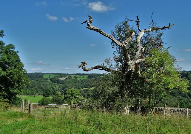
Dethick is a small village located in the county of Derbyshire, England. Situated in the heart of the Peak District National Park, it is surrounded by picturesque countryside and offers stunning views of the rolling hills and valleys.
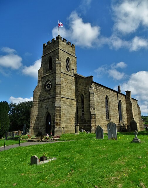
The village itself is characterized by its quaint and traditional charm, with a handful of stone cottages and historic buildings scattered throughout. One of the notable landmarks in Dethick is St. John the Baptist Church, a beautiful medieval church dating back to the 13th century. The church is known for its unique octagonal spire and intricate stained glass windows.
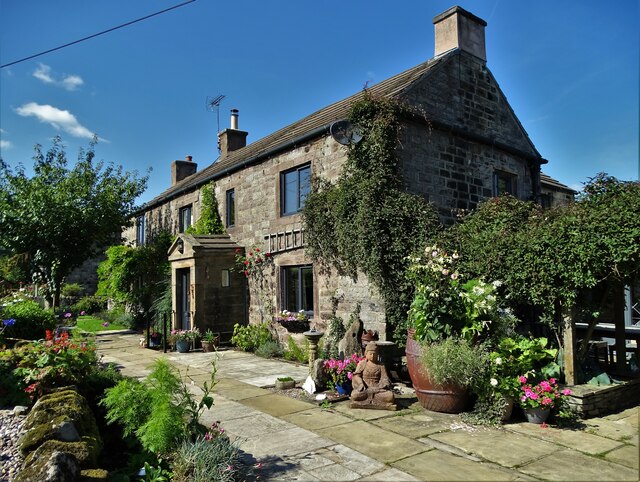
Dethick is also renowned for its association with the influential Tudor family, the Babingtons. The Babington Hall, a grand manor house built in the 16th century, was once home to the family and still stands as a testament to their wealth and influence.
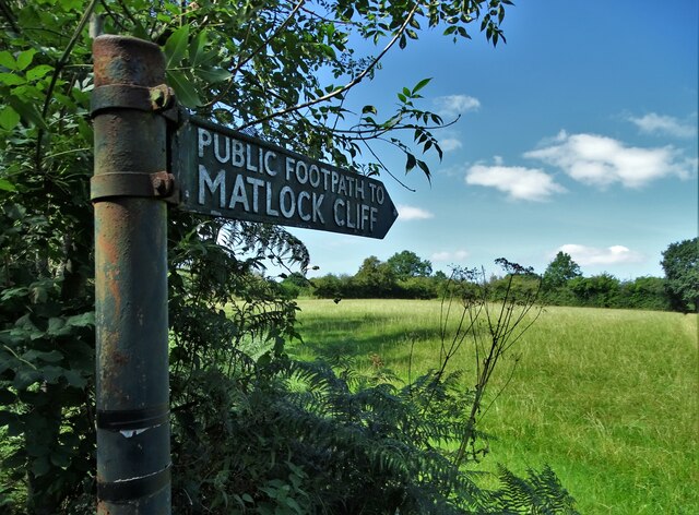
For nature enthusiasts, Dethick offers an abundance of outdoor activities. The surrounding countryside is perfect for hiking, cycling, and exploring the scenic beauty of the Peak District. The nearby Carsington Water reservoir provides opportunities for water sports such as sailing and windsurfing.
Although small in size, Dethick is a peaceful and idyllic village, offering a tranquil escape from the bustling city life. Its rich history, stunning landscapes, and welcoming community make it a hidden gem in Derbyshire's countryside.
If you have any feedback on the listing, please let us know in the comments section below.
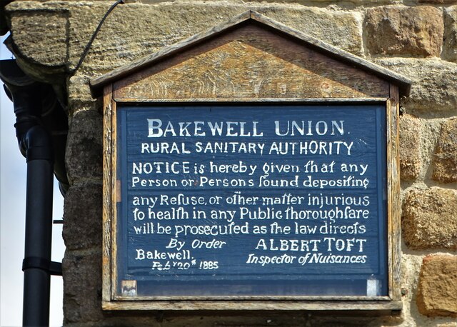
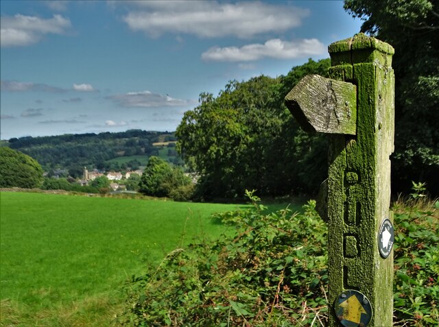
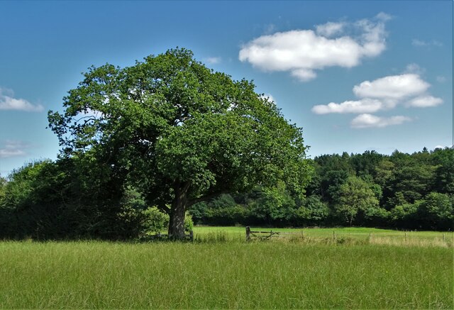
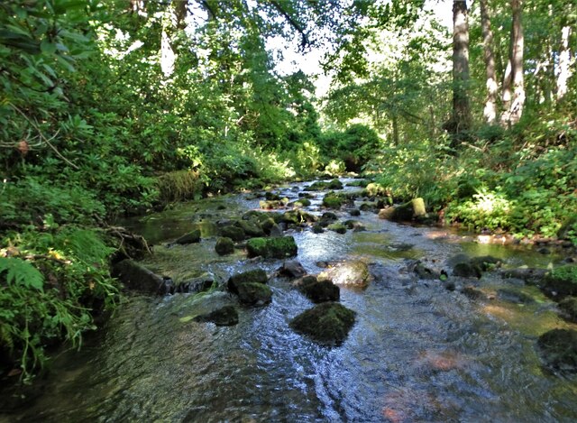
Dethick Images
Images are sourced within 2km of 53.119053/-1.5127896 or Grid Reference SK3258. Thanks to Geograph Open Source API. All images are credited.


Dethick is located at Grid Ref: SK3258 (Lat: 53.119053, Lng: -1.5127896)
Administrative County: Derbyshire
District: Amber Valley
Police Authority: Derbyshire
What 3 Words
///staining.panoramic.fetch. Near Tansley, Derbyshire
Nearby Locations
Related Wikis
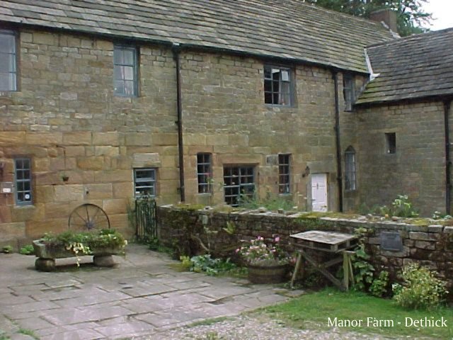
Dethick Manor
Dethick Manor is a 16th-century manor house, situated at Dethick, Amber Valley, Derbyshire, much altered in the 18th century and converted to use as a...

St John the Baptist's Church, Dethick
St John the Baptist's Church, Dethick is a Grade II* listed parish church in the Church of England in Dethick, Derbyshire. == History == The church was...

St Michael and All Angels' Church, Littlethorpe
St Michael and All Angels’ Church, Littlethorpe is a Grade II listed parish church in the Church of England in Littlethorpe, North Yorkshire England....

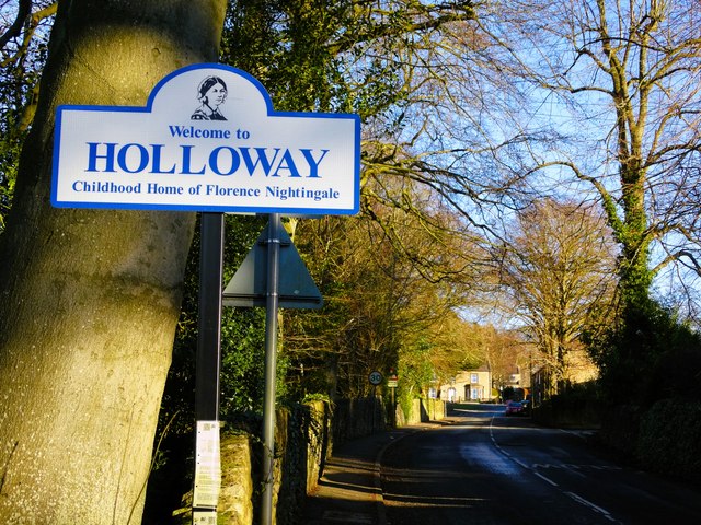
Christ Church, Holloway
Christ Church, Holloway is a Grade II* listed parish church in the Church of England in Holloway, Derbyshire. == History == The foundation stone was laid...

Tansley
Tansley is a village on the southern edge of the Derbyshire Peak District, two miles east of Matlock. == History == Tansley is recorded in the Domesday...
Riber
Riber is a hamlet in the civil parish of Matlock Town, in the Derbyshire Dales district, in the county of Derbyshire, England. It is situated high on a...

Holy Trinity Church, Tansley
Holy Trinity Church, Tansley is a parish church in the Church of England in Tansley, Derbyshire. == History == The foundation stone was laid on 1 May 1839...

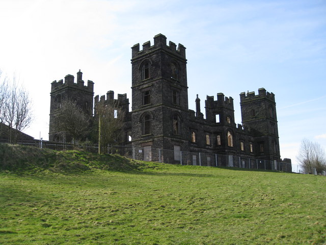
Riber Castle
Riber Castle is a 19th-century Grade II listed country house in the hamlet of Riber on a hill overlooking Matlock, Derbyshire. It is built of gritstone...
Nearby Amenities
Located within 500m of 53.119053,-1.5127896Have you been to Dethick?
Leave your review of Dethick below (or comments, questions and feedback).