High Wood

Wood, Forest in Derbyshire

England

High Wood

Rod Moor Road (B6054) Heading north west towards Sheffield.
Rod Moor Road (B6054) Credit: JThomas

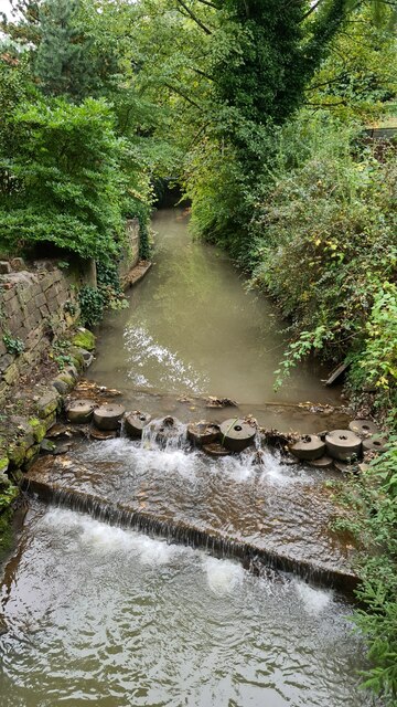
High Wood is a picturesque woodland located in Derbyshire, England. Covering an area of approximately 100 hectares, it is situated on the outskirts of the village of High Wood and is surrounded by rolling hills and meadows. The wood is part of the wider Peak District National Park, renowned for its natural beauty and diverse ecosystems.

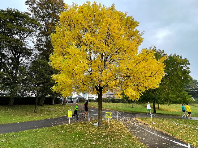
High Wood is predominantly composed of broadleaved trees such as oak, beech, and birch, creating a thriving habitat for a variety of flora and fauna. The forest floor is carpeted with bluebells and wild garlic during the spring months, providing a stunning display of colors and scents.

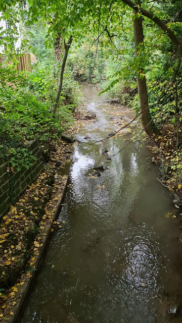
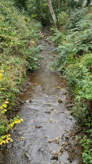
The wood is crisscrossed by a network of well-maintained trails, making it a popular destination for nature lovers, hikers, and birdwatchers. The diverse bird population includes species such as woodpeckers, owls, and warblers, offering ample opportunities for bird spotting. Additionally, the wood is home to a range of mammals, including deer, foxes, and badgers.

High Wood has a rich history, with evidence of human presence dating back to the Bronze Age. Remnants of ancient settlements and burial mounds can still be found within the woodland, providing fascinating insights into the area's past.

Visitors to High Wood can enjoy the tranquility and beauty of the natural surroundings, whether by exploring the trails, having a picnic, or simply taking in the sights and sounds of this idyllic woodland retreat.

If you have any feedback on the listing, please let us know in the comments section below.
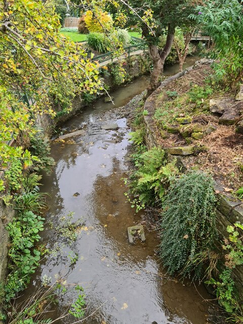
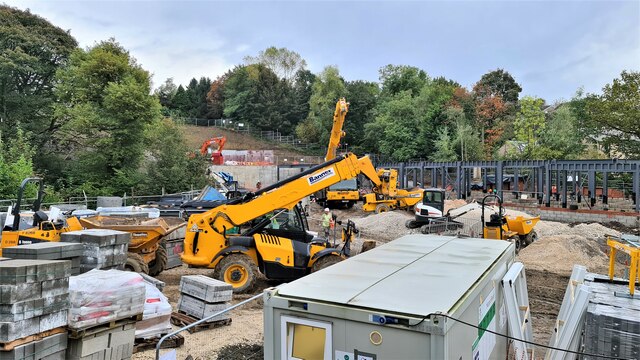
High Wood Images

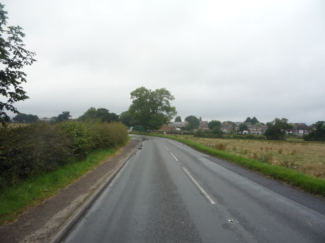
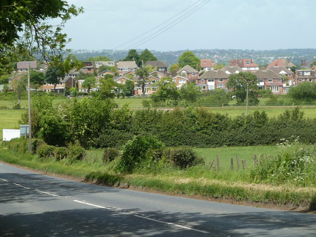
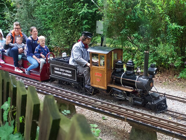
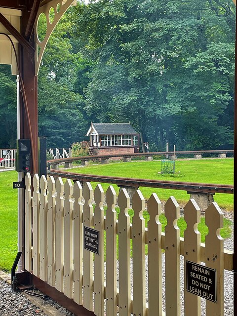
Images are sourced within 2km of 53.331569/-1.508601 or Grid Reference SK3281. Thanks to Geograph Open Source API. All images are credited.

Rod Moor Road (B6054) Heading north west towards Sheffield.
Rod Moor Road (B6054)
Heading north west towards Sheffield.
Calf at Border View Farm
Border View Farm shop and Cow Shed Cafe
View towards Mickley Farm From Totley Lane
View towards Mickley Farm
From Totley Lane
Fields by Rod Moor Road and view to Bradway The road (the B6054) and fields are in Derbyshire and in the square, the houses are in South Yorkshire in the next square north.
Fields by Rod Moor Road and view to Bradway
The road (the B6054) and fields are in Derbyshire and in the square, the houses are in South Yorkshire in the next square north.
Entrance to Border View Farm The entrance is in Dronfield parish, Derbyshire, East Midlands. The houses in the background are in Bradway, Sheffield, South Yorkshire.

Border View Farm, and Bradway Grange Farm on the same side road, have diversified. Horse riding, stabling, farm shop.
Entrance to Border View Farm
The entrance is in Dronfield parish, Derbyshire, East Midlands. The houses in the background are in Bradway, Sheffield, South Yorkshire. Border View Farm, and Bradway Grange Farm on the same side road, have diversified. Horse riding, stabling, farm shop.
Knee Deep Creek Mining Company locomotive 'Ella' Hauling passengers on one of the regular open days of the Sheffield & District Society of Model & Experimental Engineers at the Abbeydale Miniature Railway. 'Ella' was built in 1991 and is one of the society's oldest locos.
Knee Deep Creek Mining Company locomotive 'Ella'
Hauling passengers on one of the regular open days of the Sheffield & District Society of Model & Experimental Engineers at the Abbeydale Miniature Railway. 'Ella' was built in 1991 and is one of the society's oldest locos.
Abbeydale South signal box Viewed from the platform at Abbeydale Station on the Abbeydale Miniature Railway
Abbeydale South signal box
Viewed from the platform at Abbeydale Station on the Abbeydale Miniature Railway
Edward (a Red Engine) Hauling passengers on one of the regular open days of the Sheffield & District Society of Model & Experimental Engineers at the Abbeydale Miniature Railway.
Edward (a Red Engine)
Hauling passengers on one of the regular open days of the Sheffield & District Society of Model & Experimental Engineers at the Abbeydale Miniature Railway.
Lady Joan Hauling passengers on one of the regular open days of the Sheffield & District Society of Model & Experimental Engineers at the Abbeydale Miniature Railway.
Lady Joan
Hauling passengers on one of the regular open days of the Sheffield & District Society of Model & Experimental Engineers at the Abbeydale Miniature Railway.
Miniature locomotive 'Magnet' Hauling passengers on one of the regular open days of the Sheffield & District Society of Model & Experimental Engineers at the Abbeydale Miniature Railway.
Miniature locomotive 'Magnet'
Hauling passengers on one of the regular open days of the Sheffield & District Society of Model & Experimental Engineers at the Abbeydale Miniature Railway.
Abbeydale Miniature Railway
Autumn colour at Rosie's Corner On the course of Millhouses parkrun, the corner is named for the volunteer who is often stationed here to guide runners who on their third and final lap must turn sharp right to the finish line.
Autumn colour at Rosie's Corner
On the course of Millhouses parkrun, the corner is named for the volunteer who is often stationed here to guide runners who on their third and final lap must turn sharp right to the finish line.
River Sheaf looking south at Brinkburn Drive
River Sheaf looking north at Brinkburn Drive
River Sheaf looking south at Five Trees Drive
River Sheaf looking north at Five Trees Drive
Construction of 4 storey Care Home Work in progress, watch this space. To be known as Outram Fields.
Construction of 4 storey Care Home
Work in progress, watch this space. To be known as Outram Fields.
Show me another place!

High Wood is located at Grid Ref: SK3281 (Lat: 53.331569, Lng: -1.508601)

Unitary Authority: Sheffield

Police Authority: South Yorkshire

What 3 Words

///stage.miss.wiser. Near Dronfield, Derbyshire

Related Wikis

Abbeydale Industrial Hamlet

Abbeydale Industrial Hamlet is an industrial museum in the south of the City of Sheffield, England. The museum forms part of a former steel-working site...
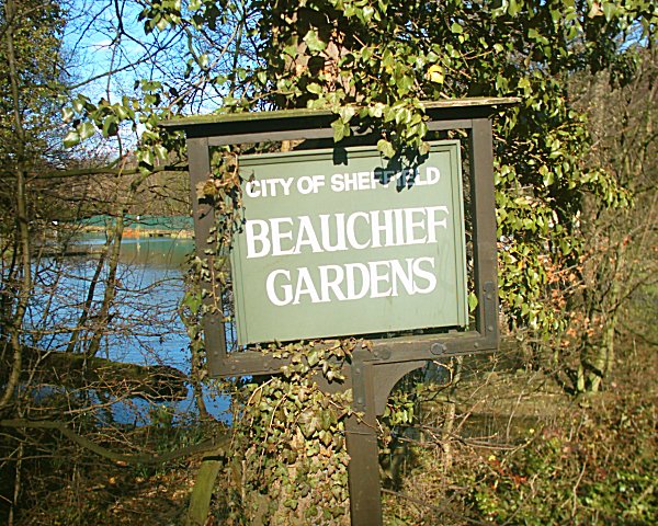
Beauchief Gardens

Beauchief Gardens is a small area of formal parkland in south-west Sheffield. The gardens lie between Abbeydale Road South to the north-west, the River...

Beauchief railway station

Beauchief railway station (pronounced Beechif) was in Sheffield, South Yorkshire, England. It was built by the Midland Railway in 1870 and was designed...

Beauchief Abbey

Beauchief Abbey is a medieval monastic house now serving as a parish church in the southern suburbs of Sheffield, England. == History == The abbey was...

Nearby Amenities

Located within 500m of 53.331569,-1.508601
Abbeydale Road South/Ecclesall Wood
Bus: yes
Public Transport: stop_position
Lat/Long: 53.330743/-1.5154438
Beauchief
Historic Railway: station
Railway: site
Wikidata: Q4877431
Wikipedia: en:Beauchief railway station
Lat/Long: 53.3358601/-1.5079212
Abbeydale Industrial Hamlet
Check Date Opening Hours: 2023-09-15
Fee: no
Opening Hours: Th-Sa 10:00-17:00; Su 11:00-16:00
Opening Hours Url: https://www.english-heritage.org.uk/visit/places/gainsborough-old-hall/prices-and-opening-times/
Tourism: museum
Website: https://www.sheffieldmuseums.org.uk/visit-us/abbeydale-industrial-hamlet/
Wheelchair: limited
Wikidata: Q4664097
Wikipedia: en:Abbeydale Industrial Hamlet
Lat/Long: 53.3337651/-1.5121778
Bus Stop
Abbeydale Road South/Ecclesall Wood
Bus: yes
Naptan AtcoCode: 370021618
Naptan Bearing: S
Naptan CommonName: Abbeydale Road South/Ladies Spring Wood
Naptan Indicator: 21618
Naptan Landmark: Outside No. 259/Wooded Area
Naptan PlusbusZoneRef: ROTHCEN
Naptan Street: Abbeydale Road South
Naptan Verified: no
Public Transport: platform
Shelter: no
Source: naptan_import
Tactile Paving: yes
Lat/Long: 53.3307026/-1.5153398
Bus Stop
Abbeydale Road South/Ecclesall Wood
Bus: yes
Departures Board: timetable
Naptan AtcoCode: 370021619
Naptan Bearing: N
Naptan CommonName: Abbeydale Road South/Ladies Spring Wood
Naptan Indicator: 21619
Naptan Landmark: Opposite 265/267
Naptan PlusbusZoneRef: ROTHCEN
Naptan Street: Abbeydale Road South
Naptan Verified: no
Public Transport: platform
Shelter: no
Source: naptan_import
Tactile Paving: yes
Lat/Long: 53.3303653/-1.5157256
Bus Stop
Abbeydale Road South/Sherwood Glen
Bus: yes
Departures Board: timetable
Naptan AtcoCode: 370021389
Naptan Bearing: NE
Naptan CommonName: Abbeydale Road South/Sherwood Glen
Naptan Indicator: 21389
Naptan Landmark: 21389
Naptan PlusbusZoneRef: ROTHCEN
Naptan Street: Abbeydale Road South
Naptan Verified: no
Public Transport: platform
Shelter: no
Source: naptan_import
Tactile Paving: yes
Lat/Long: 53.333851/-1.5129569
Bus Stop
Abbeydale Road South/Sherwood Glen
Bus: yes
Departures Board: timetable
Naptan AtcoCode: 370021390
Naptan Bearing: SW
Naptan CommonName: Abbeydale Road South/Sherwood Glen
Naptan Indicator: 21390
Naptan Landmark: 21390
Naptan PlusbusZoneRef: ROTHCEN
Naptan Street: Abbeydale Road South
Naptan Verified: no
Public Transport: platform
Shelter: no
Source: naptan_import
Tactile Paving: yes
Lat/Long: 53.3343828/-1.5121083
Bus Stop
Abbeydale Road South/Abbey Lane
Alt Name: Abbeydale Road South/Abbey Lane
Bus: yes
Naptan AltCommonName: Abbeydale Road South/Abbey Lane
Naptan AtcoCode: 370021391
Naptan Bearing: SW
Naptan CommonName: Abbeydale Road South/Abbey Lane
Naptan Indicator: 21391
Naptan Landmark: Beauchief Hotel/Traffic Lights
Naptan PlusbusZoneRef: ROTHCEN
Naptan Street: Abbeydale Road South
Naptan Verified: no
Public Transport: platform
Shelter: no
Source: naptan_import
Tactile Paving: yes
Lat/Long: 53.3355018/-1.5107545
Abbeydale Road South/Ecclesall Wood
Bus: yes
Public Transport: stop_position
Lat/Long: 53.3303597/-1.5155965
Barrier: stile
Lat/Long: 53.3334898/-1.5131533
Turning Circle
Source: Bing
Lat/Long: 53.3357773/-1.510928
Railway: switch
Lat/Long: 53.3345964/-1.5096163
Traffic Signals
Crossing: no
Lat/Long: 53.3357946/-1.5104943
Railway: switch
Lat/Long: 53.3321331/-1.5129874
Railway: switch
Lat/Long: 53.333091/-1.5117057
Railway: switch
Lat/Long: 53.3339673/-1.5104116
Backrest: no
Leisure: picnic_table
Material: wood
Seats: 6S×3T
Source: survey 2017-08-27
Lat/Long: 53.3341037/-1.5118653
Cafe
Joni
Lat/Long: 53.3341504/-1.5118649
Fountain
Lat/Long: 53.3295512/-1.5079316
Abbeydale Road South/Sherwood Glen
Bus: yes
Public Transport: stop_position
Lat/Long: 53.3338123/-1.5128635
Abbeydale Road South/Sherwood Glen
Bus: yes
Public Transport: stop_position
Lat/Long: 53.3344029/-1.5121526
Abbeydale Road South/Abbey Lane
Bus: yes
Public Transport: stop_position
Lat/Long: 53.3355326/-1.510798
Dore Station Junction
Railway: junction
Lat/Long: 53.3330434/-1.5117326
Ford: yes
Lat/Long: 53.3288163/-1.5038064
Watering Place
Lat/Long: 53.3288916/-1.5038129
Barrier: stile
Lat/Long: 53.3288818/-1.5037679
Bench
Backrest: no
Lat/Long: 53.3297681/-1.5025178
Bench
Backrest: no
Lat/Long: 53.3282647/-1.5053821
Bench
Backrest: no
Lat/Long: 53.3281865/-1.5050832
Waterway: weir
Lat/Long: 53.3299656/-1.5143597
Bench
Backrest: no
Lat/Long: 53.3305248/-1.5034174
Barrier: stile
Stile: squeezer
Lat/Long: 53.3304165/-1.5096123
Bench
Backrest: no
Lat/Long: 53.3284041/-1.5120889
Barrier: kissing_gate
Lat/Long: 53.3280153/-1.5051551
Bench
Backrest: no
Lat/Long: 53.3311348/-1.5079072
Golf: pin
Lat/Long: 53.3300409/-1.5020151
Golf: pin
Lat/Long: 53.3316657/-1.5042888
Golf: pin
Lat/Long: 53.3314596/-1.5103164
Golf: pin
Lat/Long: 53.3331375/-1.507863
Golf: pin
Lat/Long: 53.3326282/-1.5021064
Golf: pin
Lat/Long: 53.3342459/-1.5083732
Golf: pin
Lat/Long: 53.3338093/-1.5046795
Golf: pin
Lat/Long: 53.3336858/-1.5095454
Golf: pin
Lat/Long: 53.3332309/-1.5040157
Golf: pin
Lat/Long: 53.3319006/-1.501405
Crossing
Crossing: unmarked
Crossing Island: no
Tactile Paving: yes
Lat/Long: 53.3358181/-1.5103336
Crossing
Crossing: unmarked
Crossing Island: no
Tactile Paving: yes
Lat/Long: 53.3358569/-1.5104163
Cycleway: asl
Lat/Long: 53.3358295/-1.5104491
Grit Bin
Operator: Sheffield City Council
Operator Type: government
Operator Wikidata: Q7492609
Seasonal: no
Lat/Long: 53.3359565/-1.50879
Grit Bin
Operator: Sheffield City Council
Operator Type: government
Operator Wikidata: Q7492609
Seasonal: no
Lat/Long: 53.335975/-1.50891
Bicycle Parking
Bicycle Parking: stands
Capacity: 4
Covered: no
Lat/Long: 53.3341357/-1.5119418
The data included in this document is from www.openstreetmap.org. The data is made available under ODbL.

Have you been to High Wood?

Leave your review of High Wood below (or comments, questions and feedback).