Dobmeadow Wood
Wood, Forest in Derbyshire North East Derbyshire
England
Dobmeadow Wood

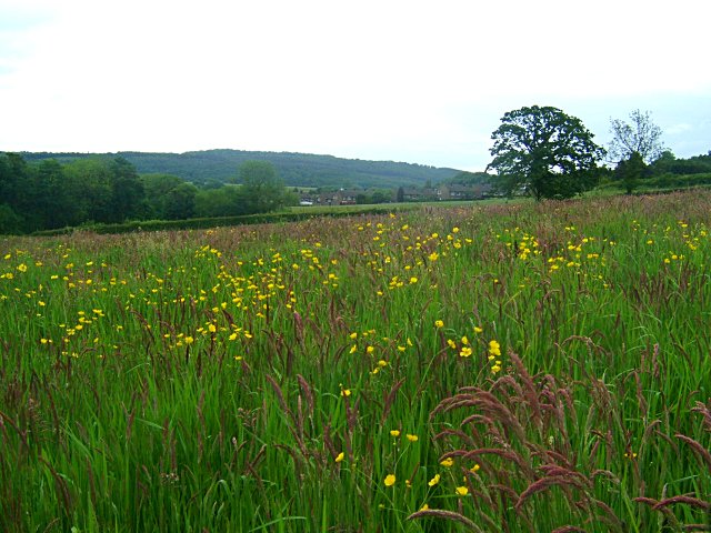
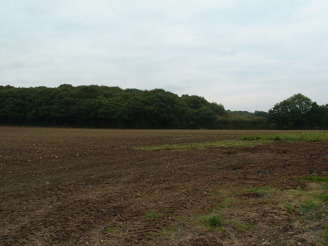
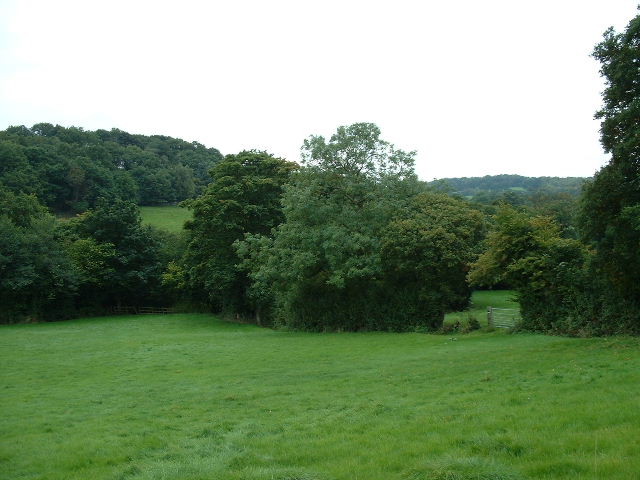
Dobmeadow Wood, located in Derbyshire, England, is a picturesque and enchanting woodland that spans over a vast area of land. It is a popular destination for nature lovers and outdoor enthusiasts, providing a peaceful and serene escape from the hustle and bustle of everyday life.
The wood is predominantly made up of native broadleaf trees, including oak, birch, and beech, creating a rich and diverse ecosystem. This diversity attracts a wide range of wildlife, making it a haven for birdwatchers and animal enthusiasts. Visitors can often spot species such as woodpeckers, deer, and squirrels as they explore the woodland trails.
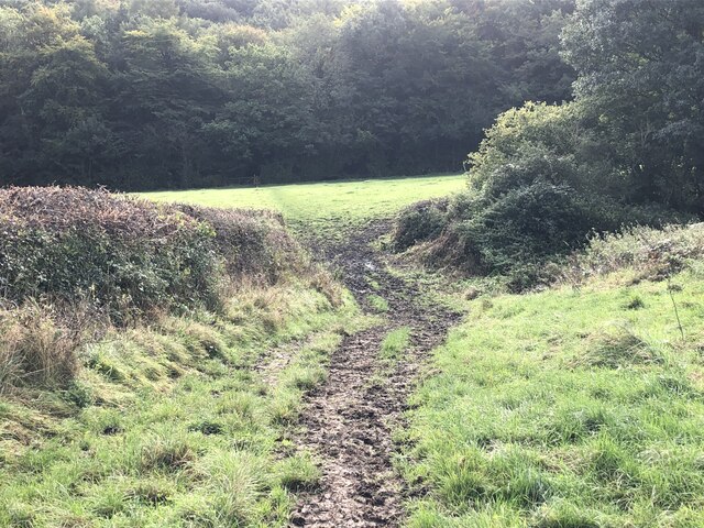
There are numerous pathways and trails that wind through the wood, allowing visitors to immerse themselves in the natural beauty and tranquility of the surroundings. These trails cater to different levels of difficulty, making it accessible for both casual walkers and more experienced hikers.
Dobmeadow Wood is also known for its stunning displays of wildflowers, particularly during the spring and summer months. The vibrant colors and sweet scents create a captivating and magical atmosphere, making it a popular spot for photographers and nature enthusiasts alike.
Visitors to the wood can also enjoy various recreational activities such as picnicking, wildlife spotting, and nature walks. With its idyllic setting and abundant natural beauty, Dobmeadow Wood offers a truly unforgettable experience for anyone seeking a peaceful retreat in the heart of Derbyshire.
If you have any feedback on the listing, please let us know in the comments section below.
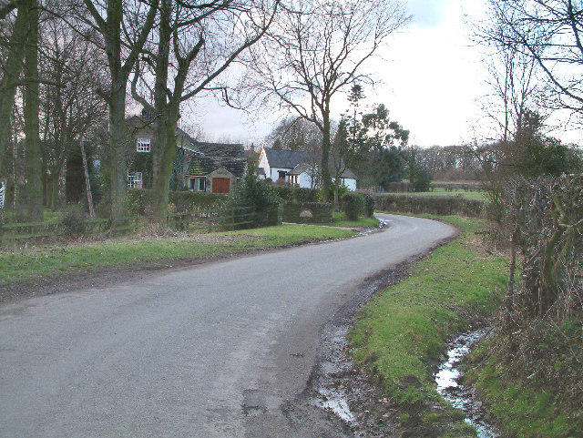
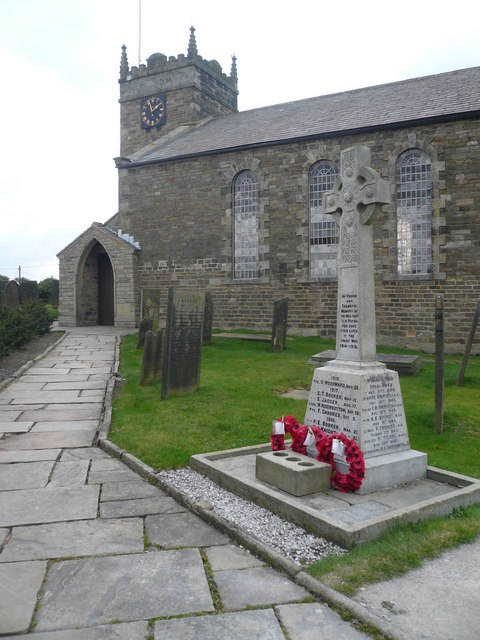
Dobmeadow Wood Images
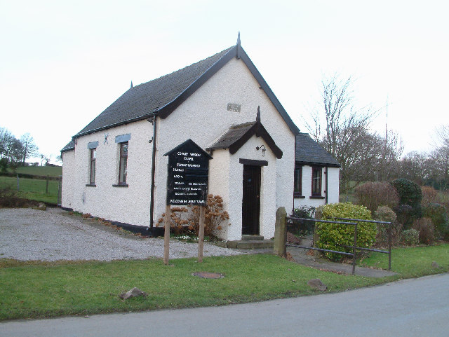
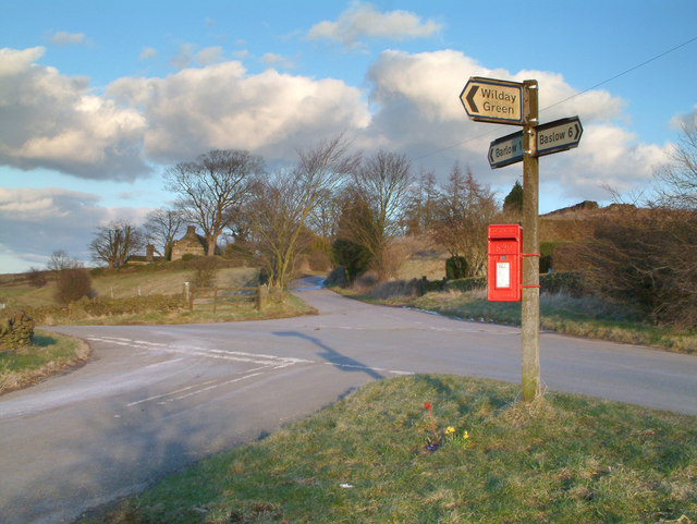
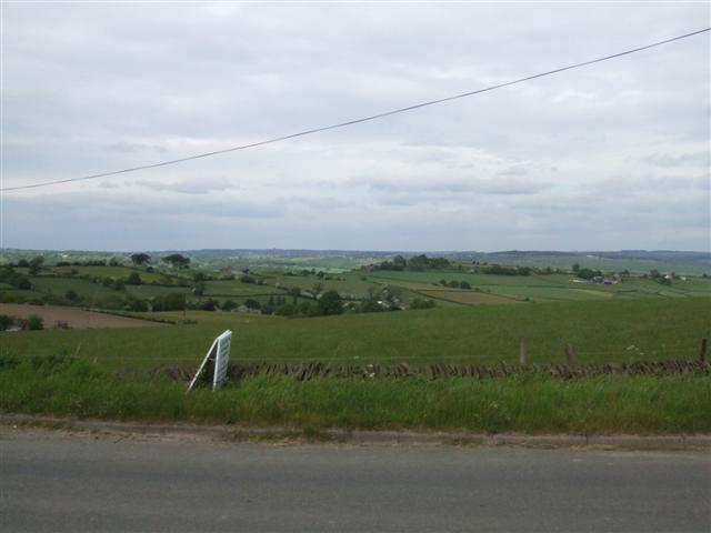
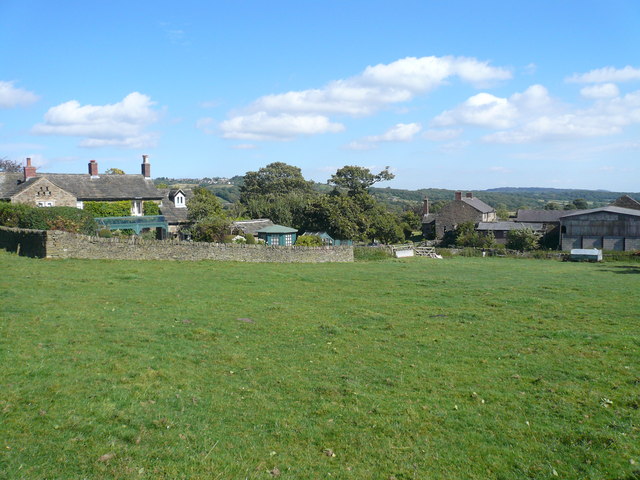
Images are sourced within 2km of 53.277081/-1.5133349 or Grid Reference SK3275. Thanks to Geograph Open Source API. All images are credited.


Dobmeadow Wood is located at Grid Ref: SK3275 (Lat: 53.277081, Lng: -1.5133349)
Administrative County: Derbyshire
District: North East Derbyshire
Police Authority: Derbyshire
What 3 Words
///hippy.chemistry.character. Near Dronfield, Derbyshire
Nearby Locations
Related Wikis

Barlow Woodseats Hall
Barlow Woodseats Hall is a Grade II* listed manor house situated at Barlow Woodseats, on the edge of the village of Barlow, in Derbyshire. It remains the...

Barlow Common
Barlow Common is a village in Derbyshire, England, near Barlow and Chesterfield. It includes the hamlet of Crowhole, which contains several buildings surviving...
Unthank, Derbyshire
Unthank is a hamlet in the North East Derbyshire district of Derbyshire, England. It is sited on a narrow lane on the southern slopes of the Cordwell Valley...

Cartledge
Cartledge is a hamlet in Derbyshire, England. It is 10 kilometres (6 mi) southwest of Sheffield, and just south of the village of Holmesfield. Its name...
Cowley, Derbyshire
Cowley is a small dispersed hamlet in North East Derbyshire, consisting of a few private houses and functioning farms strung out along Cowley Lane, which...

Holmesfield
Holmesfield is a village and civil parish in the English county of Derbyshire. The population of the civil parish at the 2011 census was 971. The name...
St Swithin's Church, Holmesfield
St Swithin's Church is a Grade II listed parish church in the Church of England in Holmesfield, Derbyshire. == History == The church dates from 1727 with...

Barlow, Derbyshire
Barlow is a village and civil parish in the North East Derbyshire district of Derbyshire, England. According to the 2001 census the parish had a population...
Nearby Amenities
Located within 500m of 53.277081,-1.5133349Have you been to Dobmeadow Wood?
Leave your review of Dobmeadow Wood below (or comments, questions and feedback).