Sweetingsick Wood
Wood, Forest in Derbyshire North East Derbyshire
England
Sweetingsick Wood

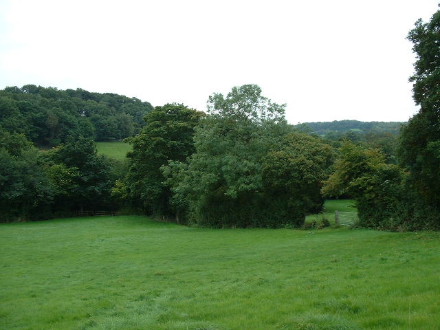
Sweetingsick Wood is a picturesque forest located in Derbyshire, England. Covering an area of approximately 100 acres, it is an enchanting natural haven that offers a myriad of sights and sounds for visitors to enjoy.
The wood is predominantly composed of ancient oak trees, which tower majestically over the forest floor. These trees create a dense canopy, providing shade during the summer months and a sense of tranquility throughout the year. The wood is also home to a diverse range of plant and animal species, making it a haven for nature enthusiasts.
The forest floor is carpeted with a rich tapestry of wildflowers, ferns, and mosses, creating a vibrant and colorful landscape. Visitors can enjoy leisurely walks along the well-maintained paths that wind through the wood, taking in the sights and sounds of nature along the way.
Sweetingsick Wood is also renowned for its birdlife, with a variety of species making their home within its boundaries. Birdwatchers can spot woodpeckers, thrushes, and various species of owls, among others. The tranquil atmosphere and abundance of wildlife make it a perfect spot for birdwatching enthusiasts.
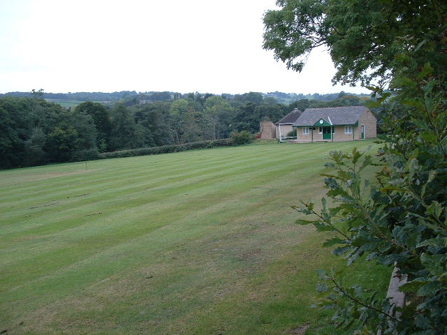
The wood is easily accessible, with ample parking facilities and clear signage directing visitors to its entrance. It is open to the public year-round, and there are no admission fees, allowing everyone to experience the beauty of this natural gem.
In conclusion, Sweetingsick Wood in Derbyshire is a captivating forest that offers a peaceful escape from the hustle and bustle of everyday life. With its ancient oak trees, diverse wildlife, and well-maintained trails, it is a must-visit destination for nature lovers and those seeking a serene natural environment.
If you have any feedback on the listing, please let us know in the comments section below.
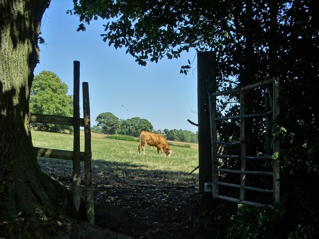
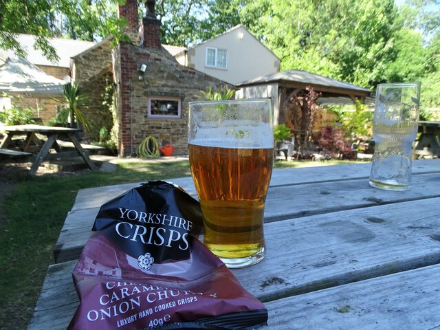
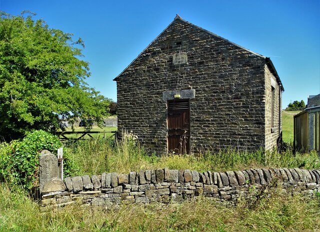
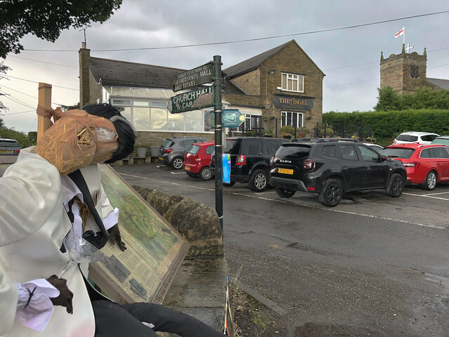
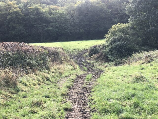
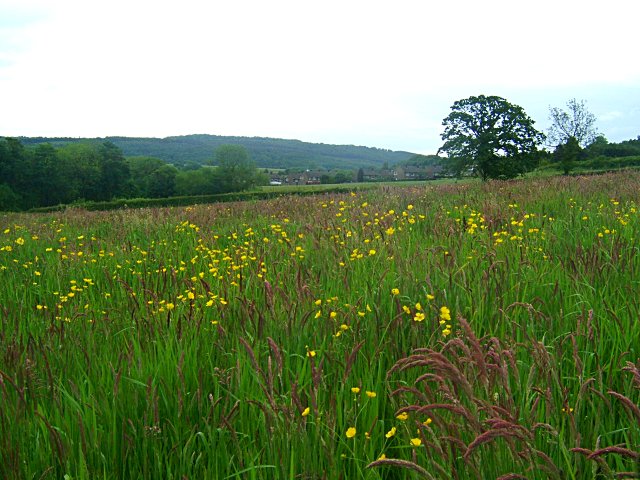
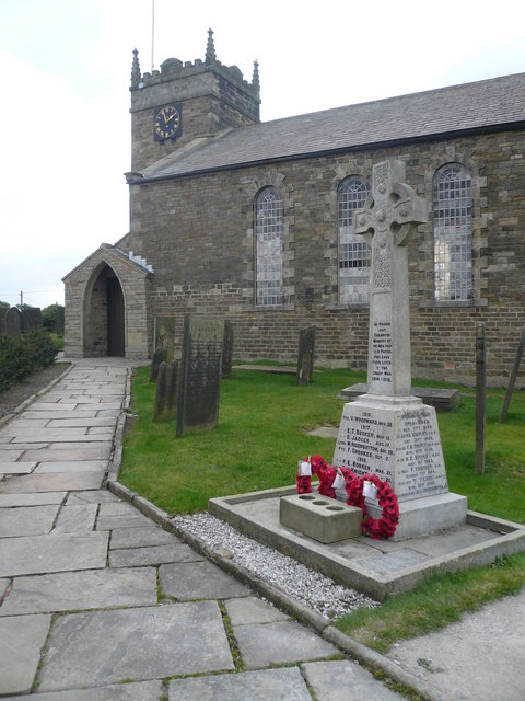
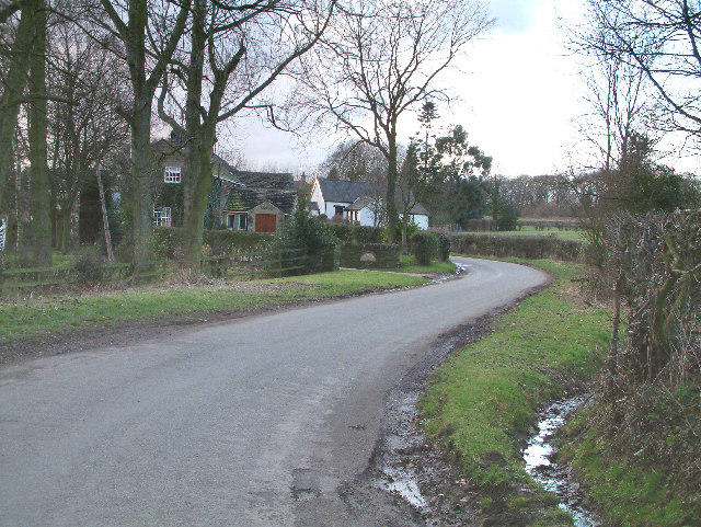
Sweetingsick Wood Images
Images are sourced within 2km of 53.277132/-1.5193331 or Grid Reference SK3275. Thanks to Geograph Open Source API. All images are credited.


Sweetingsick Wood is located at Grid Ref: SK3275 (Lat: 53.277132, Lng: -1.5193331)
Administrative County: Derbyshire
District: North East Derbyshire
Police Authority: Derbyshire
What 3 Words
///bikes.fussed.racetrack. Near Dronfield, Derbyshire
Nearby Locations
Related Wikis

Barlow Woodseats Hall
Barlow Woodseats Hall is a Grade II* listed manor house situated at Barlow Woodseats, on the edge of the village of Barlow, in Derbyshire. It remains the...
Unthank, Derbyshire
Unthank is a hamlet in the North East Derbyshire district of Derbyshire, England. It is sited on a narrow lane on the southern slopes of the Cordwell Valley...

Barlow Common
Barlow Common is a village in Derbyshire, England, near Barlow and Chesterfield. It includes the hamlet of Crowhole, which contains several buildings surviving...

Cartledge
Cartledge is a hamlet in Derbyshire, England. It is 10 kilometres (6 mi) southwest of Sheffield, and just south of the village of Holmesfield. Its name...

Holmesfield
Holmesfield is a village and civil parish in the English county of Derbyshire. The population of the civil parish at the 2011 census was 971. The name...
St Swithin's Church, Holmesfield
St Swithin's Church is a Grade II listed parish church in the Church of England in Holmesfield, Derbyshire. == History == The church dates from 1727 with...
Cowley, Derbyshire
Cowley is a small dispersed hamlet in North East Derbyshire, consisting of a few private houses and functioning farms strung out along Cowley Lane, which...

Ingmanthorpe, Derbyshire
Ingmanthorpe is a hamlet in Brampton, Derbyshire, England. Ingmanthorpe is located on the B6050 road some 3 miles (4.8 km) west of the town of Chesterfield...
Nearby Amenities
Located within 500m of 53.277132,-1.5193331Have you been to Sweetingsick Wood?
Leave your review of Sweetingsick Wood below (or comments, questions and feedback).