Harker Wood

Wood, Forest in Derbyshire North East Derbyshire

England

Harker Wood

The Cowley Lane / Dobbin Lane junction
The Cowley Lane / Dobbin Lane junction Credit: steven ruffles

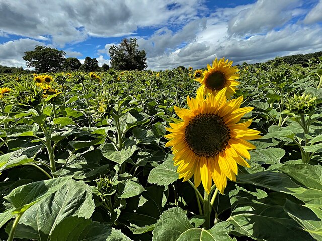
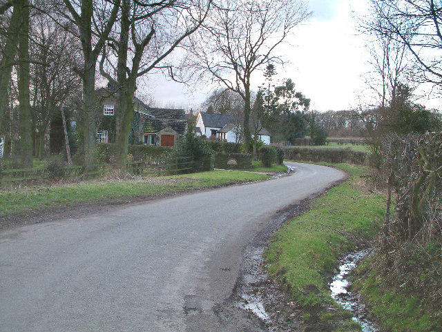
Harker Wood is a picturesque forest located in Derbyshire, England. It covers an area of approximately 100 acres and is known for its natural beauty and diverse wildlife.

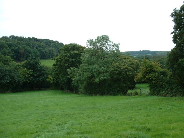
The wood is predominantly made up of broadleaf trees, including oak, beech, and birch, which create a dense canopy, providing shade and shelter for the flora and fauna that call the forest home. The woodland floor is covered in a lush carpet of mosses, ferns, and wildflowers, adding to its enchanting atmosphere.

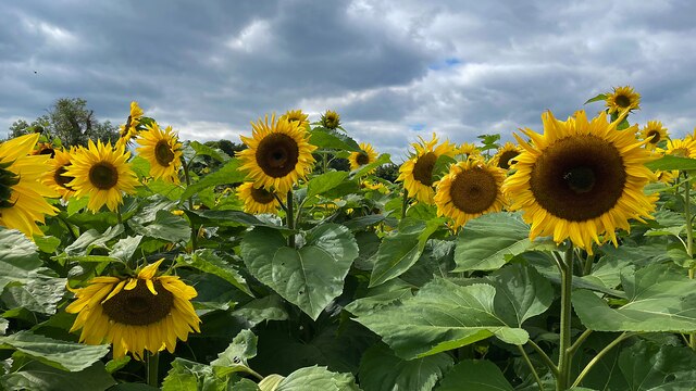
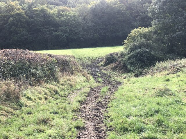
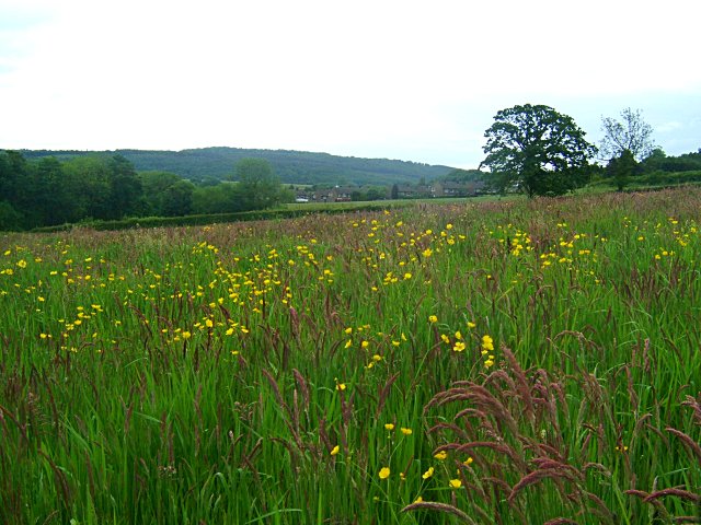
Harker Wood is a popular destination for nature enthusiasts and hikers due to its well-maintained network of trails and paths that wind through the forest. These trails offer visitors the opportunity to explore the wood's various habitats, including wetland areas, meadows, and small ponds, which are teeming with a wide range of bird species, butterflies, and other insects.

The forest is also home to a variety of mammals, including badgers, foxes, and deer, which can often be spotted grazing or foraging in the early morning or late evening.

Harker Wood is managed by the local authorities, who ensure its preservation and conservation. As a result, the forest remains unspoiled and provides a tranquil retreat for those seeking solitude and a connection with nature.

Overall, Harker Wood is a hidden gem in Derbyshire, offering visitors a chance to immerse themselves in the beauty of the natural world and escape the hustle and bustle of everyday life.

If you have any feedback on the listing, please let us know in the comments section below.
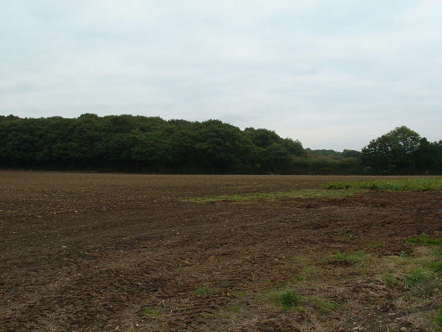
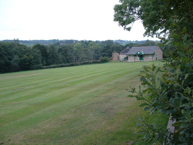
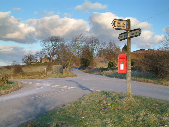
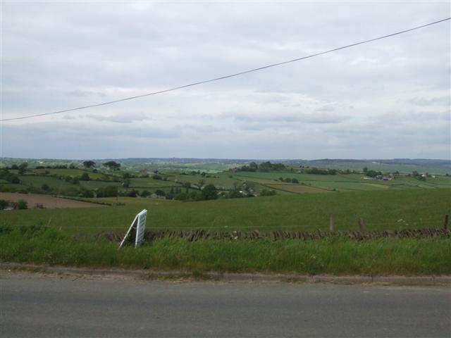
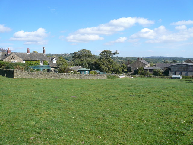
Harker Wood Images

Images are sourced within 2km of 53.275128/-1.5150667 or Grid Reference SK3275. Thanks to Geograph Open Source API. All images are credited.

The Cowley Lane / Dobbin Lane junction
A field of sunflowers At Barlow Village Sunflowers
A field of sunflowers
At Barlow Village Sunflowers
Giant sunflowers Two of the thousands in a field at Barlow Village Sunflowers
Giant sunflowers
Two of the thousands in a field at Barlow Village Sunflowers
A giant sunflower One of thousands in a field at Barlow Village Sunflowers
A giant sunflower
One of thousands in a field at Barlow Village Sunflowers
Shandy and crisps at "The Royal Oak", Millthorpe On another hot summer's day in August 2022
Shandy and crisps at "The Royal Oak", Millthorpe
On another hot summer's day in August 2022
A field full of sunflowers A seasonal visitor attraction at Village Sunflowers
A field full of sunflowers
A seasonal visitor attraction at Village Sunflowers
Strange sight in a field of barley One of the features of the visitor attraction at Village Sunflowers
Strange sight in a field of barley
One of the features of the visitor attraction at Village Sunflowers
The path from Unthank Lane, looking into Stripes Wood
Meadow near Wilday Green
Meadow near Crowhole Brook
Fields near Bradley lane farm
Farmland near Millthorpe East of Millthorpe near B6051
Farmland near Millthorpe
East of Millthorpe near B6051
Millthorpe cricket field Just west of Millthorpe village
Millthorpe cricket field
Just west of Millthorpe village
Near Bolehill. Picture shows road sign and letter box at crossroads  near to Bolehill.
Near Bolehill.
Picture shows road sign and letter box at crossroads near to Bolehill.
View over open farmland from the B6050 near Moorhall The white thing at the front is an advertising board for the Gate Inn pub, just to the left of the picture.
View over open farmland from the B6050 near Moorhall
The white thing at the front is an advertising board for the Gate Inn pub, just to the left of the picture.
Lane up Peakley Hill An attractive rural setting which is only around 2km from Dronfield.
Lane up Peakley Hill
An attractive rural setting which is only around 2km from Dronfield.
Barlow Woodseats I am not sure where Woodseats comes from, its used in several place names in this area.  This picture was taken from the west side of Allen Wood looking north north west
Barlow Woodseats
I am not sure where Woodseats comes from, its used in several place names in this area. This picture was taken from the west side of Allen Wood looking north north west
Over the fields This picture was taken from the highest part of the Rumbling Street road looking south east.  The trees in the middle distance are at the head of a small reservoir.  The nearby farm shown as Meanfield on the O/S map appears to have been renamed Highbrook.
Over the fields
This picture was taken from the highest part of the Rumbling Street road looking south east. The trees in the middle distance are at the head of a small reservoir. The nearby farm shown as Meanfield on the O/S map appears to have been renamed Highbrook.
Show me another place!

Harker Wood is located at Grid Ref: SK3275 (Lat: 53.275128, Lng: -1.5150667)

Administrative County: Derbyshire

District: North East Derbyshire

Police Authority: Derbyshire

What 3 Words

///trying.folk.regal. Near Dronfield, Derbyshire

Related Wikis

Barlow Woodseats Hall

Barlow Woodseats Hall is a Grade II* listed manor house situated at Barlow Woodseats, on the edge of the village of Barlow, in Derbyshire. It remains the...

Barlow Common

Barlow Common is a village in Derbyshire, England, near Barlow and Chesterfield. It includes the hamlet of Crowhole, which contains several buildings surviving...

Unthank, Derbyshire

Unthank is a hamlet in the North East Derbyshire district of Derbyshire, England. It is sited on a narrow lane on the southern slopes of the Cordwell Valley...

Cartledge

Cartledge is a hamlet in Derbyshire, England. It is 10 kilometres (6 mi) southwest of Sheffield, and just south of the village of Holmesfield. Its name...

Cowley, Derbyshire

Cowley is a small dispersed hamlet in North East Derbyshire, consisting of a few private houses and functioning farms strung out along Cowley Lane, which...

Ingmanthorpe, Derbyshire

Ingmanthorpe is a hamlet in Brampton, Derbyshire, England. Ingmanthorpe is located on the B6050 road some 3 miles (4.8 km) west of the town of Chesterfield...

Barlow, Derbyshire

Barlow is a village and civil parish in the North East Derbyshire district of Derbyshire, England. According to the 2001 census the parish had a population...

Holmesfield

Holmesfield is a village and civil parish in the English county of Derbyshire. The population of the civil parish at the 2011 census was 971. The name...

Nearby Amenities

Located within 500m of 53.275128,-1.5150667
Rumbling Street
Place: hamlet
Source Name: Name on public footpath sign to N
Lat/Long: 53.2729858/-1.5163651
Ele: 155
Lat/Long: 53.2750461/-1.5136165
Ele: 157
Lat/Long: 53.2749375/-1.5136634
Ele: 159
Lat/Long: 53.2746184/-1.5142953
Ele: 164
Lat/Long: 53.2743227/-1.5148393
Barrier: stile
Ele: 133
Steps: 1
Stile: stepover
Lat/Long: 53.277019/-1.5102551
Barrier: stile
Ele: 135
Steps: 1
Stile: stepover
Lat/Long: 53.2767868/-1.5110707
Parking
Description: Large patch of gravel
Lat/Long: 53.2719856/-1.5200354
Barrier: stile
Material: stone
Steps: 1
Stile: stepover
Lat/Long: 53.2713869/-1.5167979
Barrier: stile
Steps: 3
Stile: wall
Lat/Long: 53.2724402/-1.5173995
Barrier: stile
Ele: 155
Steps: 2
Stile: wall
Lat/Long: 53.2749958/-1.5136253
The data included in this document is from www.openstreetmap.org. The data is made available under ODbL.

Have you been to Harker Wood?

Leave your review of Harker Wood below (or comments, questions and feedback).