Rumbling Street
Settlement in Derbyshire North East Derbyshire
England
Rumbling Street

Rumbling Street is a quaint village located in Derbyshire, England. Nestled amidst picturesque landscapes and rolling hills, this idyllic countryside haven offers a serene escape from the hustle and bustle of city life. The village is situated just a few miles away from the bustling town of Bakewell, making it easily accessible for both locals and tourists.
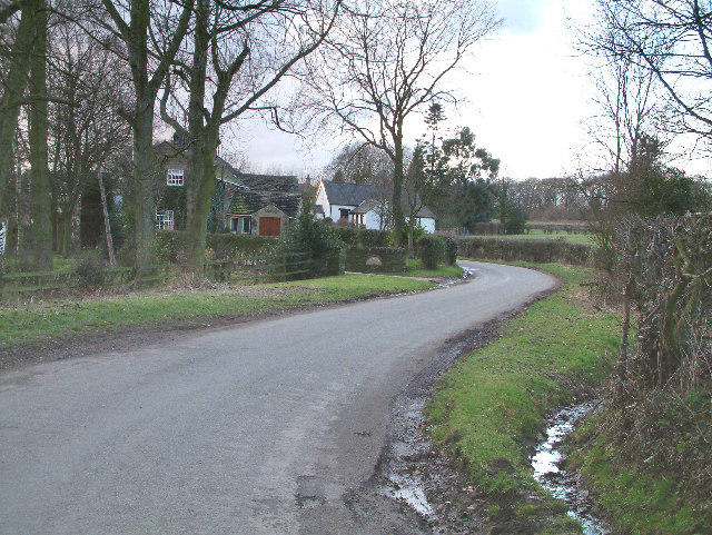
Characterized by its charming stone cottages and narrow winding streets, Rumbling Street exudes a timeless charm that is reminiscent of a bygone era. The village is home to a close-knit community, where residents take great pride in maintaining the village's traditional architecture and rural heritage.
One of the notable landmarks in Rumbling Street is the St. Mary's Church, a beautiful medieval structure that stands tall at the heart of the village. Its historical significance and stunning architecture attract visitors from near and far.
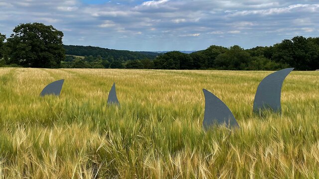
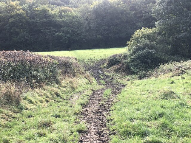
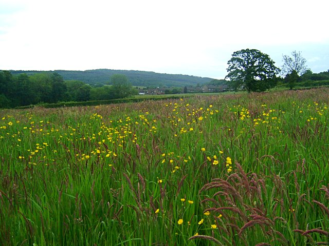
Surrounded by lush green fields and meadows, Rumbling Street offers ample opportunities for outdoor activities. The village is a popular starting point for hikers and nature enthusiasts, with several walking trails and scenic routes leading to the nearby Peak District National Park.
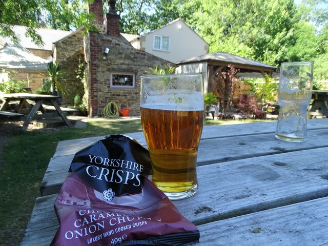
In terms of amenities, Rumbling Street boasts a cozy village pub, where locals and visitors can enjoy a pint of local ale or indulge in traditional British cuisine. The pub serves as a social hub, hosting community events and gatherings throughout the year.
All in all, Rumbling Street is a tranquil retreat that captures the essence of rural England. Its natural beauty, rich history, and warm community spirit make it a hidden gem in Derbyshire.
If you have any feedback on the listing, please let us know in the comments section below.
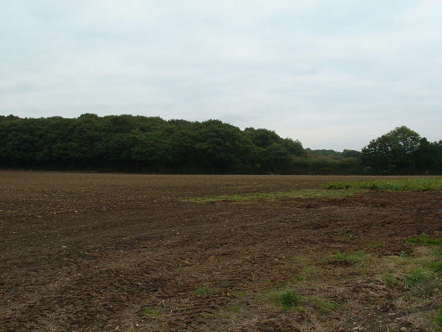
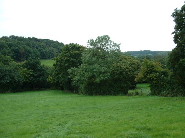
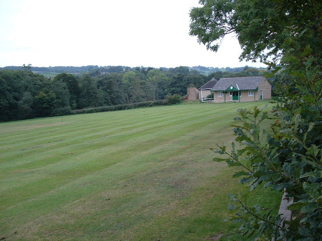
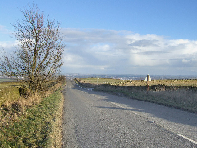
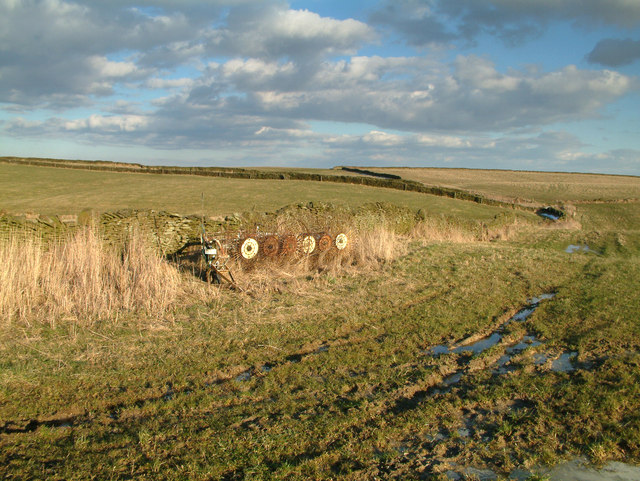
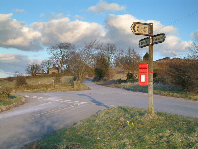
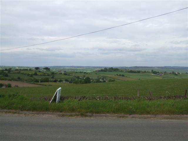
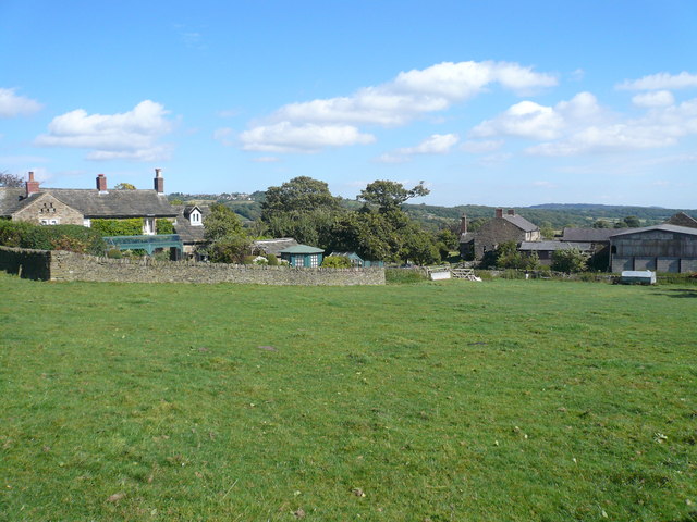
Rumbling Street Images
Images are sourced within 2km of 53.272407/-1.5177816 or Grid Reference SK3275. Thanks to Geograph Open Source API. All images are credited.


Rumbling Street is located at Grid Ref: SK3275 (Lat: 53.272407, Lng: -1.5177816)
Administrative County: Derbyshire
District: North East Derbyshire
Police Authority: Derbyshire
What 3 Words
///moving.changes.dictation. Near Dronfield, Derbyshire
Nearby Locations
Related Wikis

Barlow Woodseats Hall
Barlow Woodseats Hall is a Grade II* listed manor house situated at Barlow Woodseats, on the edge of the village of Barlow, in Derbyshire. It remains the...

Barlow Common
Barlow Common is a village in Derbyshire, England, near Barlow and Chesterfield. It includes the hamlet of Crowhole, which contains several buildings surviving...
Unthank, Derbyshire
Unthank is a hamlet in the North East Derbyshire district of Derbyshire, England. It is sited on a narrow lane on the southern slopes of the Cordwell Valley...

Ingmanthorpe, Derbyshire
Ingmanthorpe is a hamlet in Brampton, Derbyshire, England. Ingmanthorpe is located on the B6050 road some 3 miles (4.8 km) west of the town of Chesterfield...

Barlow, Derbyshire
Barlow is a village and civil parish in the North East Derbyshire district of Derbyshire, England. According to the 2001 census the parish had a population...

Cartledge
Cartledge is a hamlet in Derbyshire, England. It is 10 kilometres (6 mi) southwest of Sheffield, and just south of the village of Holmesfield. Its name...
Cowley, Derbyshire
Cowley is a small dispersed hamlet in North East Derbyshire, consisting of a few private houses and functioning farms strung out along Cowley Lane, which...

Holmesfield
Holmesfield is a village and civil parish in the English county of Derbyshire. The population of the civil parish at the 2011 census was 971. The name...
Nearby Amenities
Located within 500m of 53.272407,-1.5177816Have you been to Rumbling Street?
Leave your review of Rumbling Street below (or comments, questions and feedback).