Church Brake
Wood, Forest in Oxfordshire West Oxfordshire
England
Church Brake
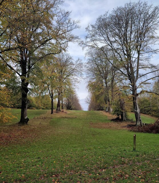
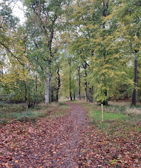
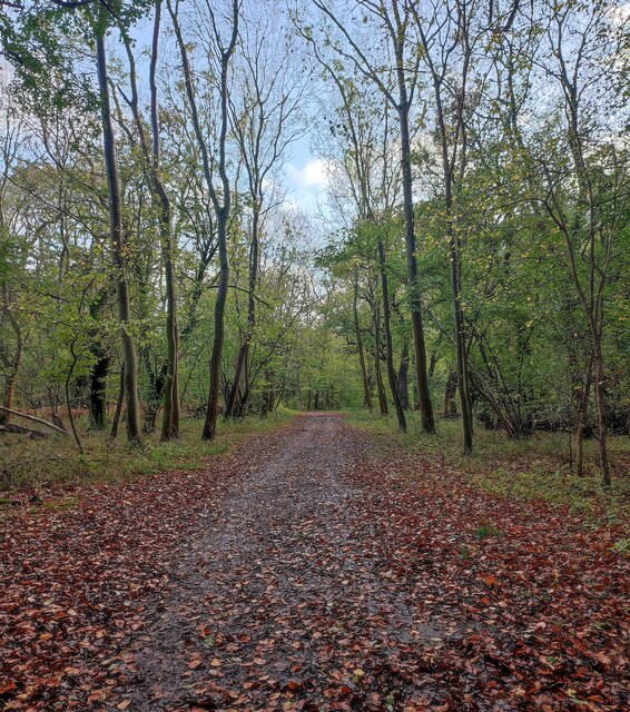
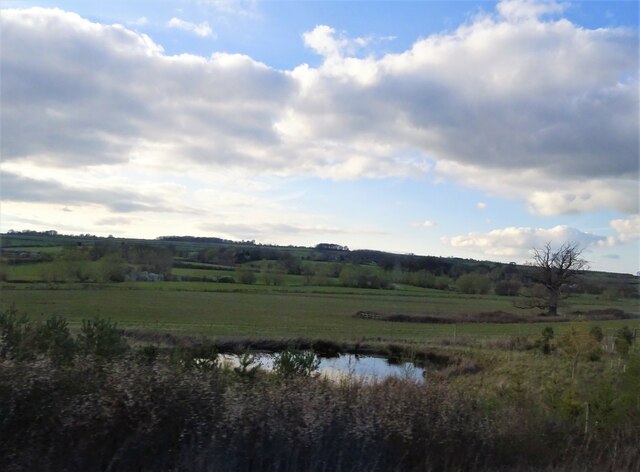
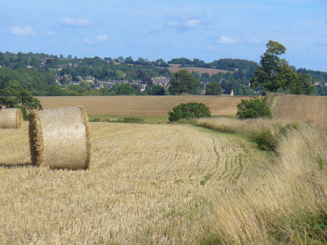
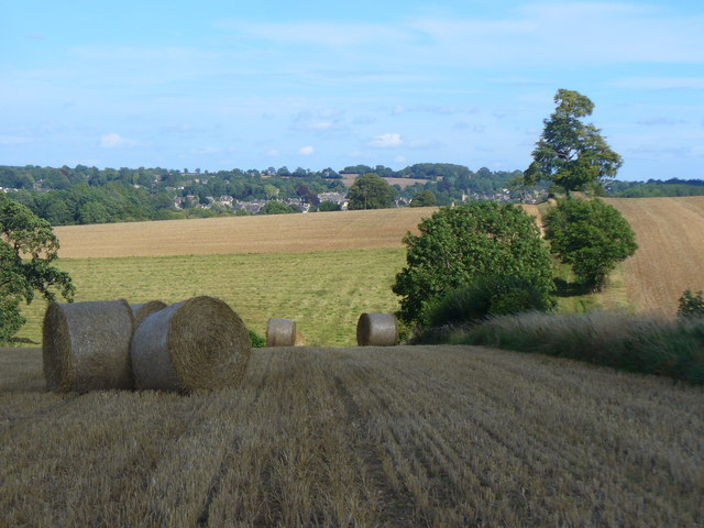
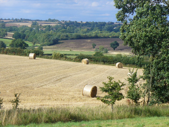
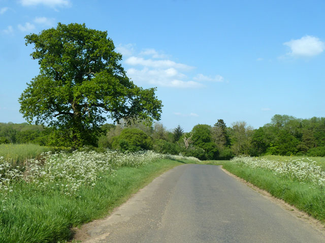
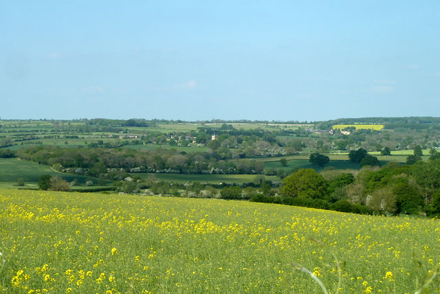
Church Brake is a serene and picturesque woodland located in Oxfordshire, England. Situated in the heart of the county, this enchanting forest is a haven for nature lovers and those seeking tranquility amidst the bustling city life. Covering a vast area, Church Brake is adorned with a diverse range of trees, including oak, beech, and birch, which create a captivating tapestry of colors throughout the seasons.
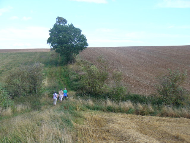
The woodland is interspersed with winding paths, allowing visitors to explore its hidden corners and discover its many treasures. The forest floor is carpeted with a rich assortment of wildflowers, adding a splash of vibrant hues to the already enchanting landscape. Towering trees provide a canopy of shade, making it an ideal spot for a peaceful stroll on a sunny day or a leisurely picnic with loved ones.
As the name suggests, Church Brake is also home to a historic church, nestled among the trees. The church, dating back to the medieval period, exudes an air of antiquity and offers a glimpse into the area's rich heritage. Its architectural beauty is complemented by the natural surroundings, creating a truly captivating sight.
The forest is teeming with wildlife, with an abundance of bird species, such as woodpeckers and nightingales, filling the air with their melodic tunes. Squirrels scamper through the branches, while deer and foxes can occasionally be spotted amidst the undergrowth, adding to the sense of wonder and enchantment.
Whether one seeks solace in nature, a scenic walk, or a deep connection with history, Church Brake in Oxfordshire is a captivating destination that offers a truly immersive and enchanting experience.
If you have any feedback on the listing, please let us know in the comments section below.
Church Brake Images
Images are sourced within 2km of 51.866493/-1.5287989 or Grid Reference SP3218. Thanks to Geograph Open Source API. All images are credited.


Church Brake is located at Grid Ref: SP3218 (Lat: 51.866493, Lng: -1.5287989)
Administrative County: Oxfordshire
District: West Oxfordshire
Police Authority: Thames Valley
What 3 Words
///state.activates.arranges. Near Charlbury, Oxfordshire
Nearby Locations
Related Wikis

Cornbury Park
Cornbury Park is an estate near Charlbury, Oxfordshire. It comprises about 5000 acres, mostly farmland and woods, including a remnant of the Wychwood Forest...

Chilson
Chilson is a hamlet and civil parish in the Evenlode Valley in West Oxfordshire, England, about 4+1⁄2 miles (7 km) south of Chipping Norton. The civil...

Shorthampton
Shorthampton is a hamlet in Chilson civil parish about 2 miles (3 km) west of Charlbury, in Oxfordshire, England. The oldest parts of the Church of England...

Wychwood
Wychwood or Wychwood Forest is a 501.7-hectare (1,240-acre) biological Site of Special Scientific Interest north of Witney in Oxfordshire. It is also a...

Ascot d'Oilly Castle
Ascot d'Oilly Castle is situated north of the village of Ascott-under-Wychwood in the north west region of Oxfordshire. It is a scheduled ancient monument...

Ascott d'Oyley
Ascott d'Oyley is a village in Oxfordshire, England. The name ‘Ascott’ is derived from the Old English ēast (east) and cot (cottage), whilst d’Oyley was...

Ascott-under-Wychwood railway station
Ascott-under-Wychwood railway station is a railway station serving the village of Ascott-under-Wychwood in Oxfordshire, England. It is on the Cotswold...

Ascott-under-Wychwood
Ascott-under-Wychwood is a village and civil parish in the Evenlode valley about 4.5 miles (7 km) south of Chipping Norton, Oxfordshire, England. The 2011...
Nearby Amenities
Located within 500m of 51.866493,-1.5287989Have you been to Church Brake?
Leave your review of Church Brake below (or comments, questions and feedback).