Wilderness Plantation
Wood, Forest in Yorkshire
England
Wilderness Plantation
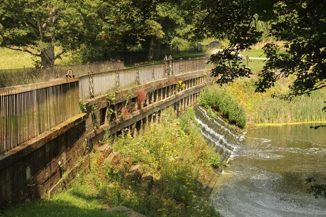
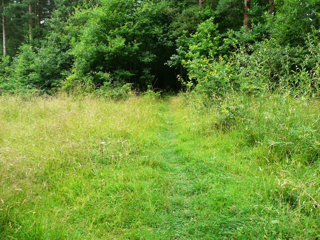
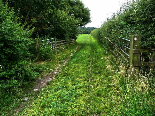
Wilderness Plantation, Yorkshire, is a picturesque woodland area located in the northern region of England. Covering a vast expanse of land, this plantation is a blend of dense forests and sprawling woodlands, offering visitors a truly enchanting experience.
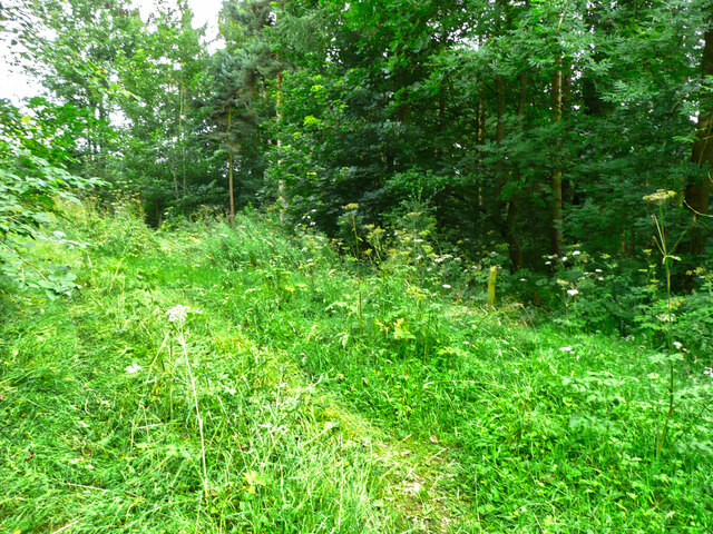
The plantation is home to an array of plant species, both native and exotic, creating a rich and diverse ecosystem. Towering oak trees, graceful birches, and vibrant wildflowers dot the landscape, creating a serene and tranquil atmosphere. The woodland is also home to a variety of wildlife, including deer, foxes, and numerous bird species, making it a haven for nature enthusiasts and wildlife photographers.
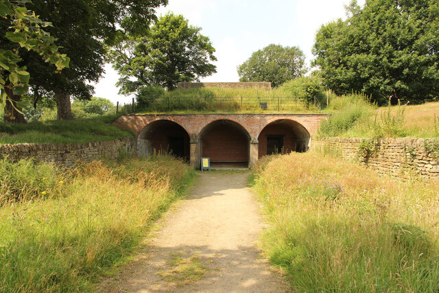
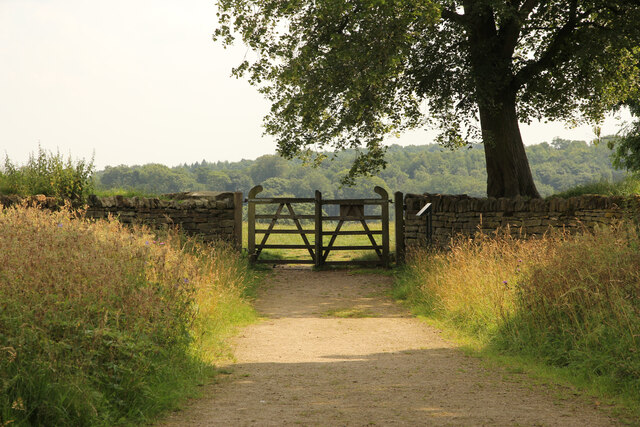
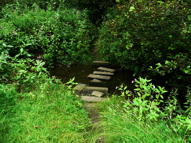
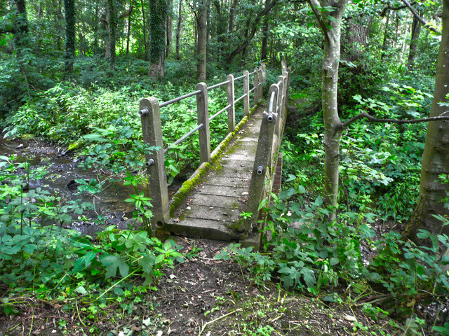
Visitors to Wilderness Plantation can explore a network of well-maintained walking trails that wind through the woodlands. These trails offer breathtaking views of the surrounding countryside and provide an opportunity to immerse oneself in nature's beauty. The plantation also offers guided nature walks and educational programs, allowing visitors to learn about the local flora and fauna and the importance of conservation efforts.
In addition to its natural beauty, Wilderness Plantation boasts a range of recreational activities for visitors to enjoy. There are designated picnic areas and camping spots for those who wish to spend a day or night in the midst of nature. The plantation also offers opportunities for horseback riding, fishing, and cycling, catering to a wide range of outdoor enthusiasts.
Overall, Wilderness Plantation, Yorkshire, is a hidden gem nestled in the heart of the countryside. With its stunning natural landscapes, diverse wildlife, and recreational activities, it is a must-visit destination for those seeking a peaceful escape in nature.
If you have any feedback on the listing, please let us know in the comments section below.
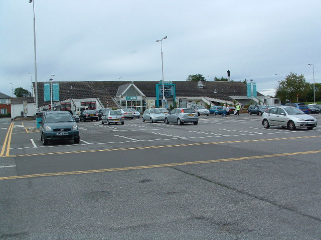
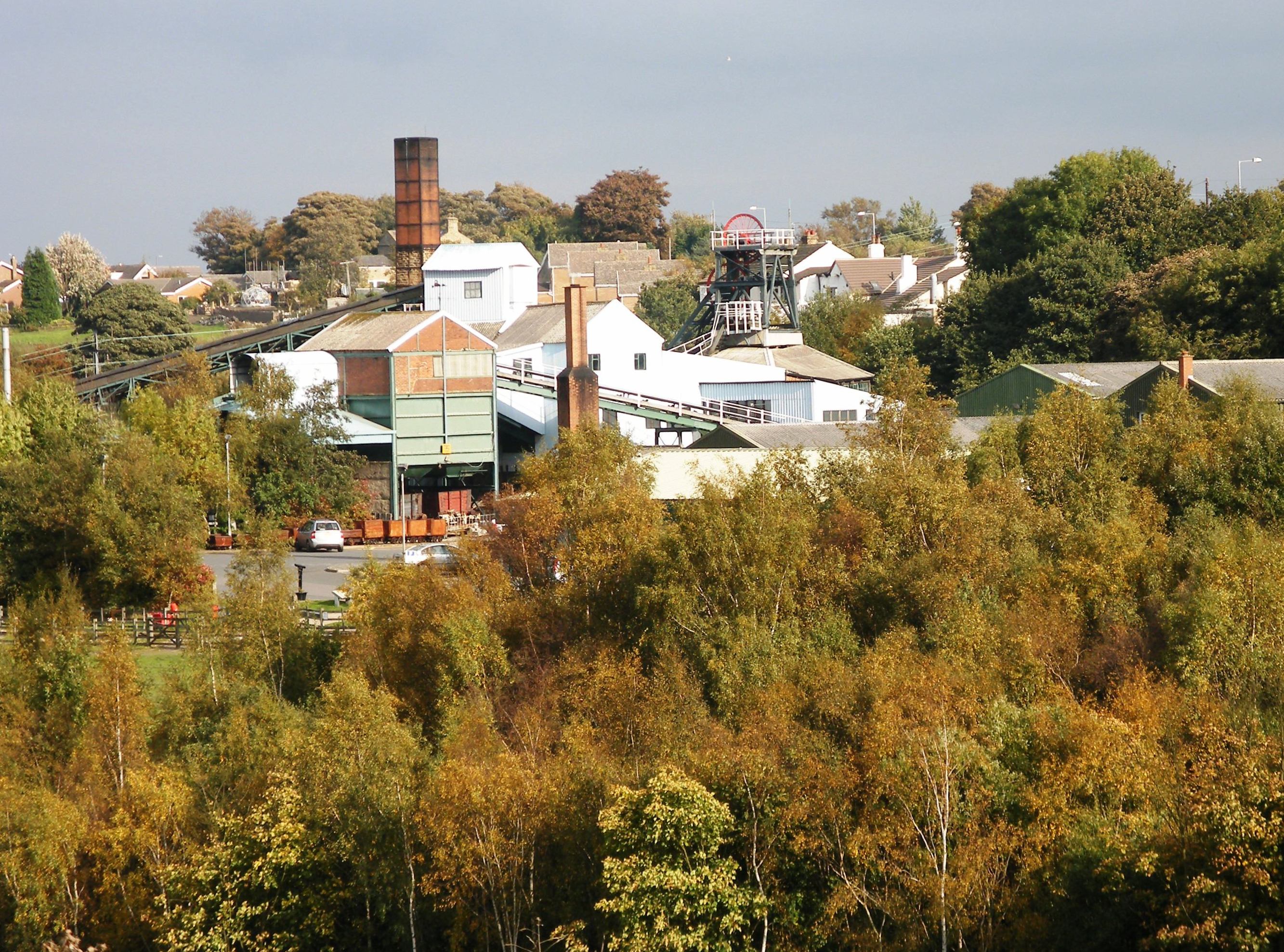
Wilderness Plantation Images
Images are sourced within 2km of 53.621756/-1.5795618 or Grid Reference SE2713. Thanks to Geograph Open Source API. All images are credited.

Wilderness Plantation is located at Grid Ref: SE2713 (Lat: 53.621756, Lng: -1.5795618)
Division: West Riding
Unitary Authority: Wakefield
Police Authority: West Yorkshire
What 3 Words
///hips.amazed.liver. Near Emley, West Yorkshire
Related Wikis

A636 road
The A636 is a main road in West Yorkshire, England, starting at Wakefield (53.6788°N 1.5002°W / 53.6788; -1.5002 (A636 road (northern end))) and connecting...
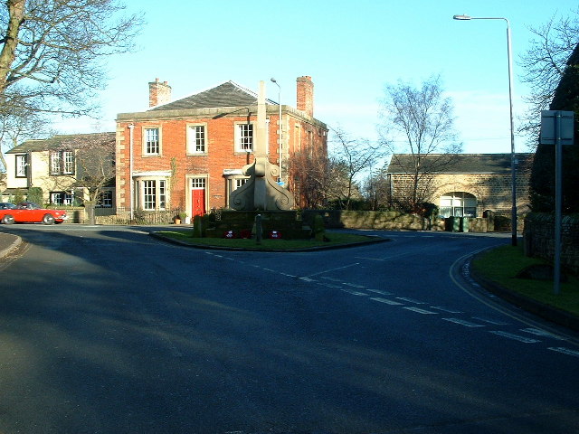
West Bretton
West Bretton is a village and civil parish near Wakefield, West Yorkshire, England. It lies close to junction 38 of the M1 motorway at Haigh. It has a...

Bretton Hall College of Education
Bretton Hall College of Education was a higher education college in West Bretton in the West Riding of Yorkshire, England. It opened as a teacher training...
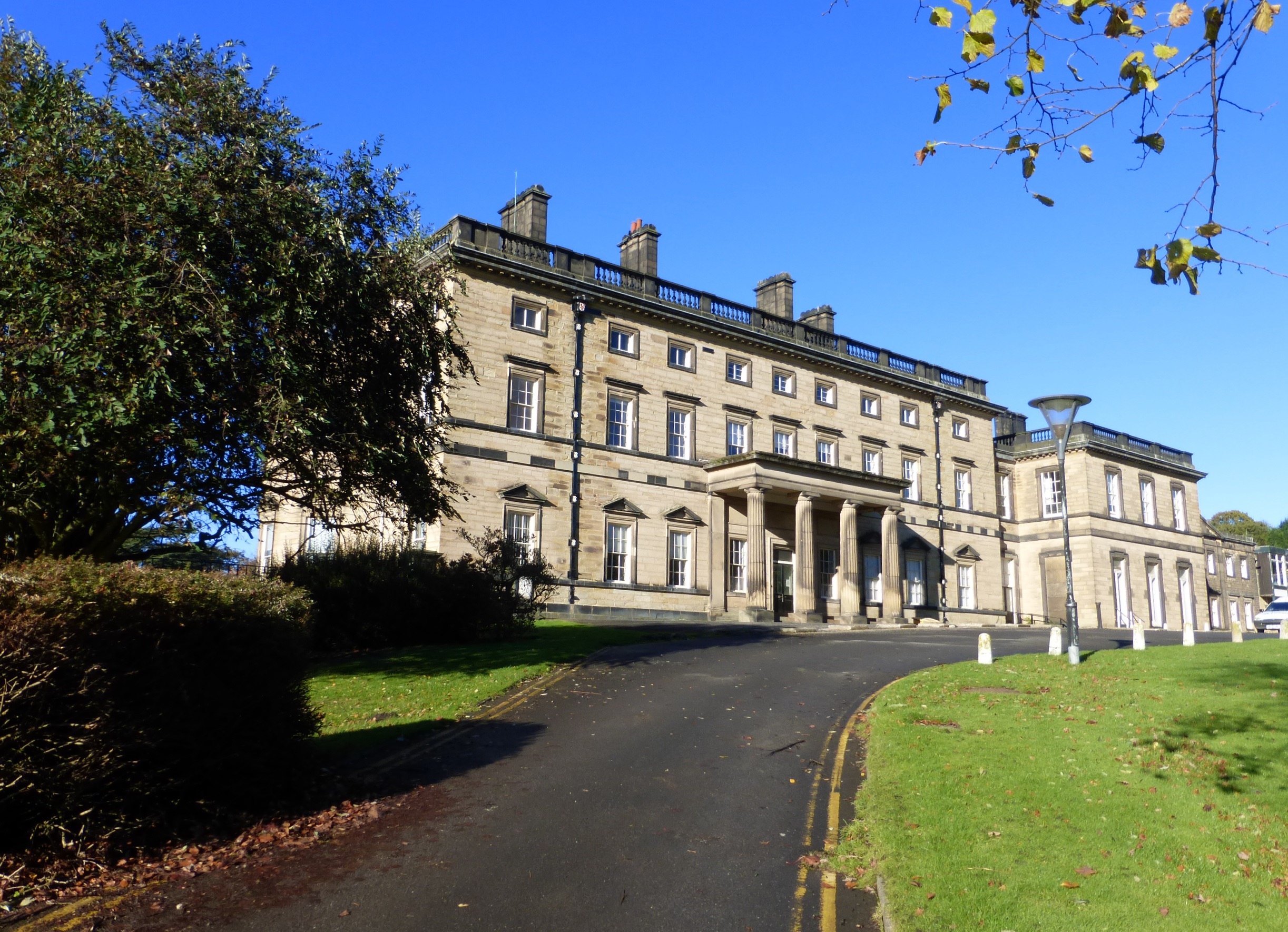
Bretton Hall, West Yorkshire
Bretton Hall is a country house in West Bretton near Wakefield, West Yorkshire, England. It housed Bretton Hall College from 1949 until 2001 and was a...
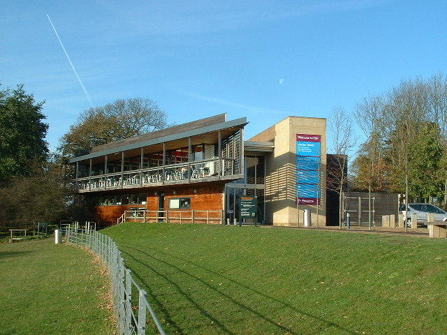
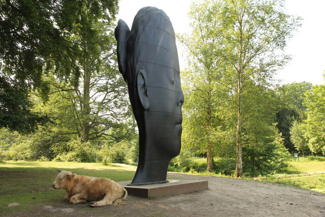
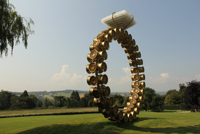
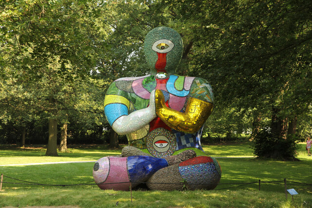
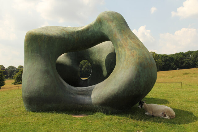
Yorkshire Sculpture Park
The Yorkshire Sculpture Park (YSP) is an art gallery, with both open-air and indoor exhibition spaces, in West Bretton, Wakefield, in West Yorkshire, England...

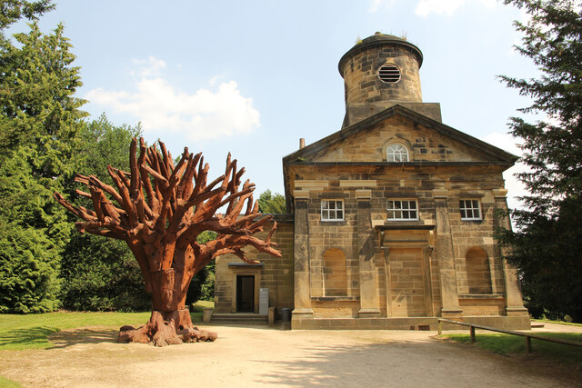
St Bartholomew's Chapel, West Bretton
St Bartholomew's Chapel is a former estate church in the grounds of Bretton Hall, in West Bretton near Wakefield in West Yorkshire, England. The redundant...
Woolley Edge services
Woolley Edge services is a motorway service station on the M1 motorway within the borough of the City of Wakefield, West Yorkshire, England. It lies between...
Sitlington
Sitlington, historically Shitlington, was a township in the ancient ecclesiastical parish of Thornhill in the wapentake of Agbrigg and Morley in the West...
Nearby Amenities
Located within 500m of 53.621756,-1.5795618Have you been to Wilderness Plantation?
Leave your review of Wilderness Plantation below (or comments, questions and feedback).