Bower Hill Plantation
Wood, Forest in Yorkshire
England
Bower Hill Plantation
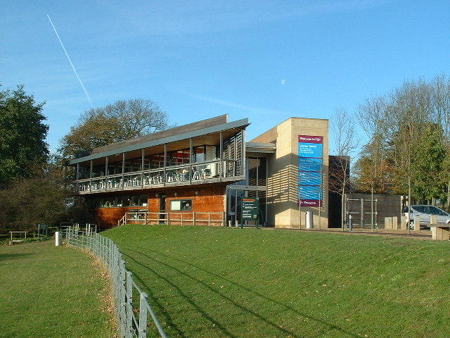
Bower Hill Plantation is a picturesque woodland area located in the county of Yorkshire, England. Nestled amidst the scenic beauty of the Yorkshire Dales, this enchanting forest is a haven for nature lovers and outdoor enthusiasts. Covering an expansive area of over 500 acres, Bower Hill Plantation offers a diverse range of flora and fauna, making it a popular destination for both locals and tourists alike.
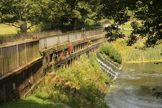
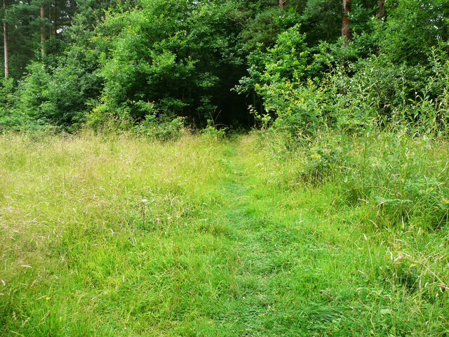
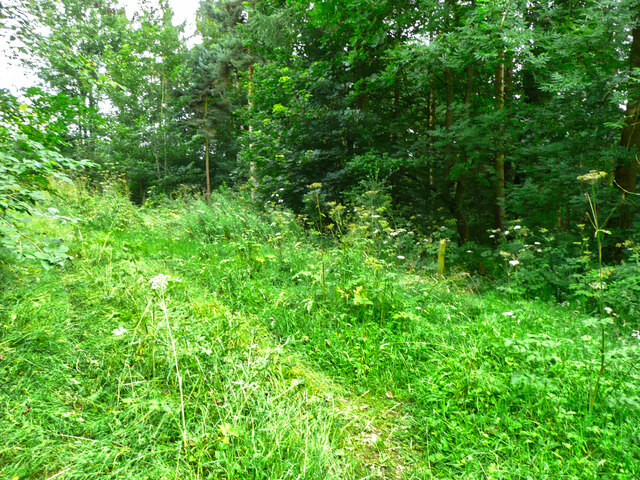
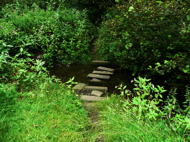
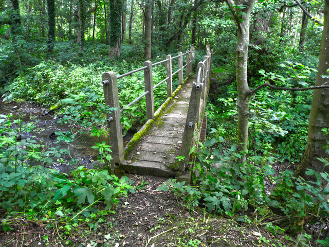
The woodland consists mainly of deciduous trees such as oak, beech, and birch, which create a stunning array of colors during the autumn season. The forest floor is adorned with a rich carpet of wildflowers, including bluebells and primroses, adding a vibrant touch to the landscape. The plantation also features several tranquil streams, adding to the overall serene ambiance of the area.
Bower Hill Plantation is home to a variety of wildlife, making it a haven for animal enthusiasts. Visitors may catch a glimpse of deer, foxes, rabbits, and a wide range of bird species, including owls, woodpeckers, and finches. The forest also provides an important habitat for rare and endangered species, contributing to the conservation efforts of the region.
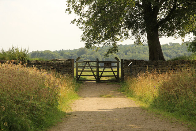
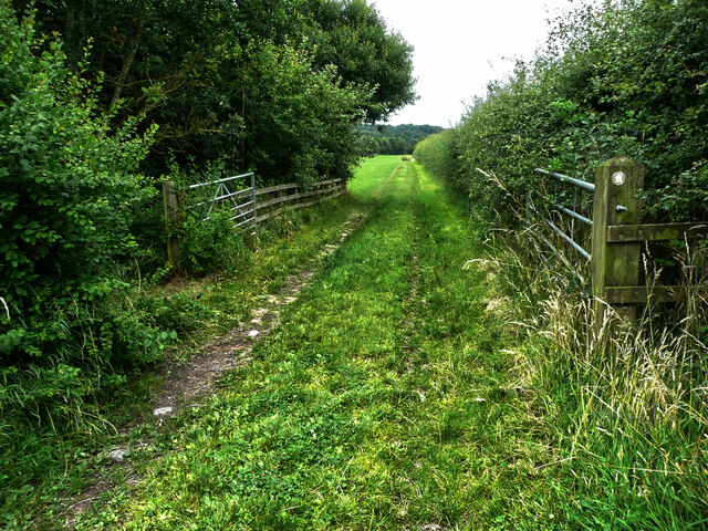
The plantation offers a network of well-maintained walking trails, providing visitors with the opportunity to explore the woodland at their own pace. These trails cater to different levels of difficulty, making them suitable for both casual strollers and experienced hikers. Additionally, there are designated picnic areas and benches scattered throughout the plantation, perfect for those who wish to relax and soak in the natural beauty.
In conclusion, Bower Hill Plantation is a magnificent woodland area in Yorkshire that offers a breathtaking display of nature's wonders. With its diverse range of flora and fauna, well-marked trails, and peaceful atmosphere, it is an ideal destination for those seeking a tranquil retreat in the heart of nature.
If you have any feedback on the listing, please let us know in the comments section below.
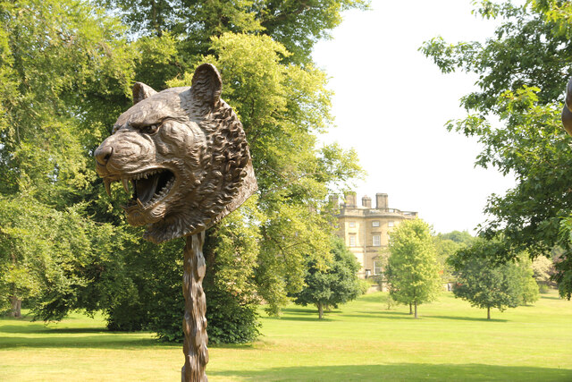
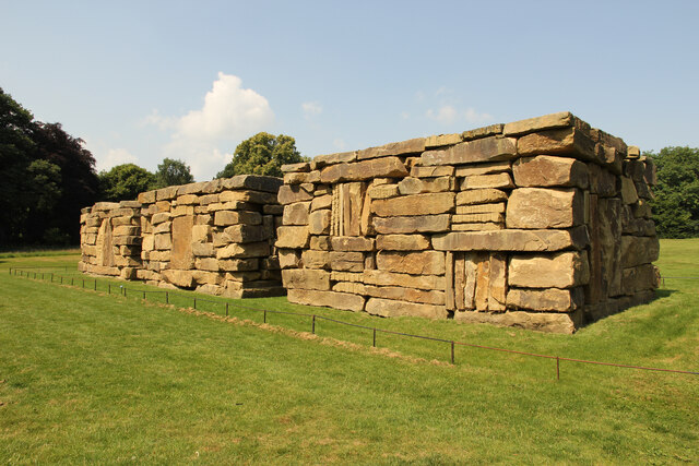
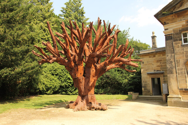
Bower Hill Plantation Images
Images are sourced within 2km of 53.61921/-1.5841224 or Grid Reference SE2713. Thanks to Geograph Open Source API. All images are credited.
Bower Hill Plantation is located at Grid Ref: SE2713 (Lat: 53.61921, Lng: -1.5841224)
Division: West Riding
Unitary Authority: Wakefield
Police Authority: West Yorkshire
What 3 Words
///fruity.vine.foreheads. Near Emley, West Yorkshire
Related Wikis
West Bretton
West Bretton is a village and civil parish near Wakefield, West Yorkshire, England. It lies close to junction 38 of the M1 motorway at Haigh. It has a...

A636 road
The A636 is a main road in West Yorkshire, England, starting at Wakefield (53.6788°N 1.5002°W / 53.6788; -1.5002 (A636 road (northern end))) and connecting...

Bretton Hall College of Education
Bretton Hall College of Education was a higher education college in West Bretton in the West Riding of Yorkshire, England. It opened as a teacher training...
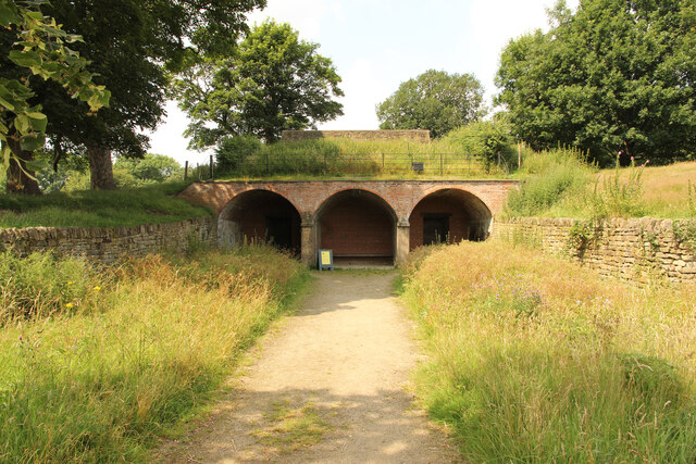
Bretton Hall, West Yorkshire
Bretton Hall is a country house in West Bretton near Wakefield, West Yorkshire, England. It housed Bretton Hall College from 1949 until 2001 and was a...
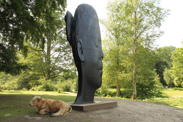
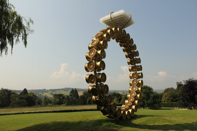
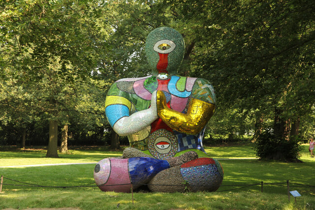
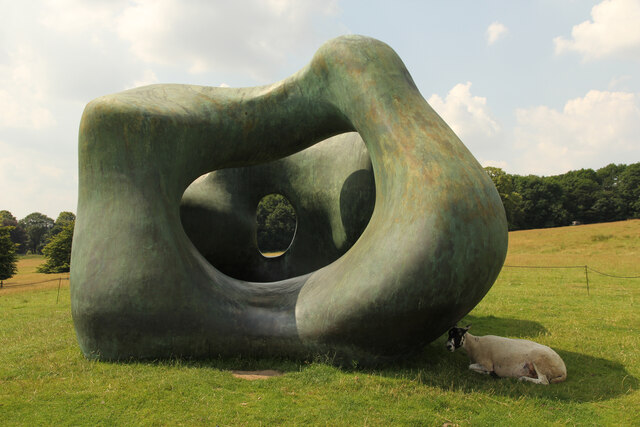
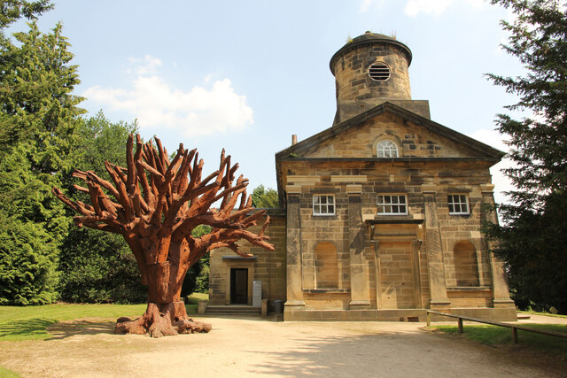
Yorkshire Sculpture Park
The Yorkshire Sculpture Park (YSP) is an art gallery, with both open-air and indoor exhibition spaces, in West Bretton, Wakefield, in West Yorkshire, England...

St Bartholomew's Chapel, West Bretton
St Bartholomew's Chapel is a former estate church in the grounds of Bretton Hall, in West Bretton near Wakefield in West Yorkshire, England. The redundant...
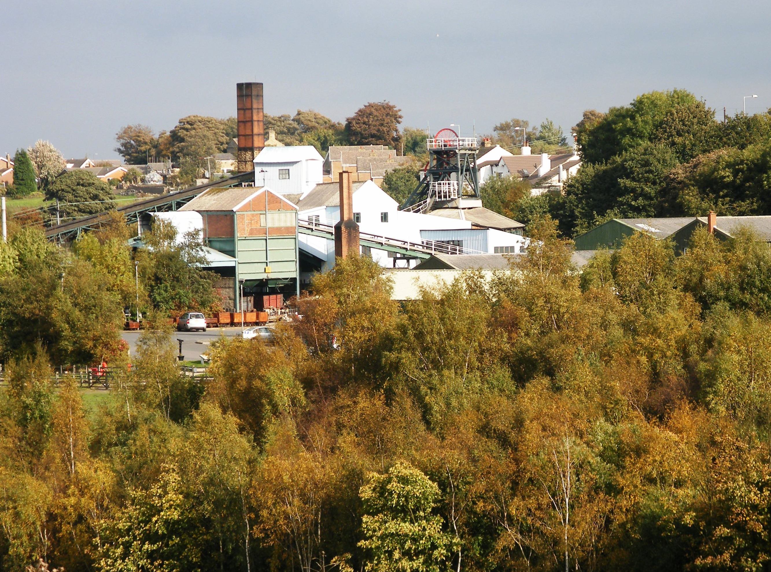
Woolley Edge services
Woolley Edge services is a motorway service station on the M1 motorway within the borough of the City of Wakefield, West Yorkshire, England. It lies between...
Sitlington
Sitlington, historically Shitlington, was a township in the ancient ecclesiastical parish of Thornhill in the wapentake of Agbrigg and Morley in the West...
Nearby Amenities
Located within 500m of 53.61921,-1.5841224Have you been to Bower Hill Plantation?
Leave your review of Bower Hill Plantation below (or comments, questions and feedback).