Grub Ground

Wood, Forest in Wiltshire

England

Grub Ground

Grassland, Chute The eastern flank of Shaw Bottom.
Grassland, Chute Credit: Andrew Smith

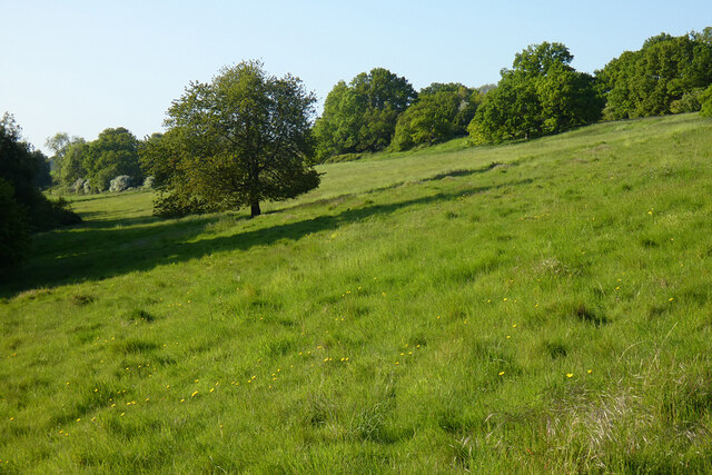
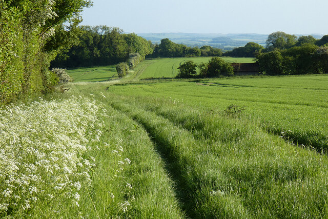
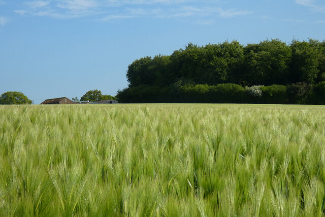
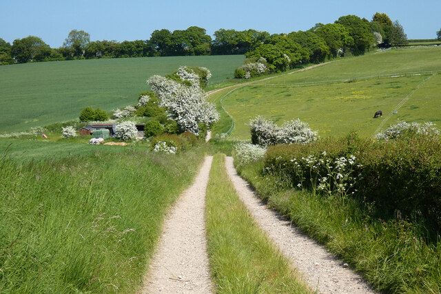
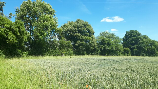
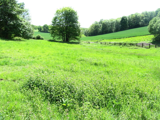
Grub Ground, nestled in the picturesque county of Wiltshire, England, is a serene woodland area renowned for its sprawling woodlands and enchanting forests. Located in the southern part of the county, Grub Ground offers visitors a tranquil escape from the hustle and bustle of city life.

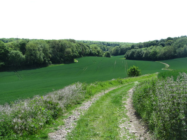
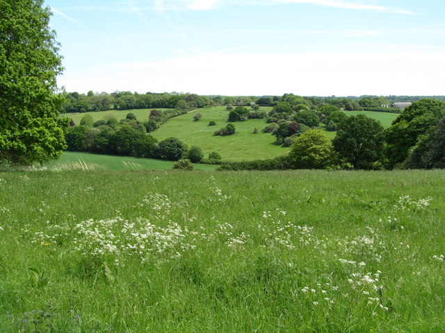
The woodlands of Grub Ground are a haven for outdoor enthusiasts and nature lovers alike. Spanning over vast acres, the area boasts a diverse range of flora and fauna, including ancient oak and beech trees, providing a rich habitat for a variety of wildlife. From vibrant wildflowers carpeting the forest floor in spring to the vibrant hues of orange and gold during autumn, the woodlands offer a stunning display of natural beauty throughout the year.

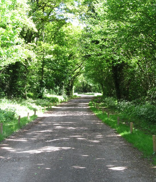
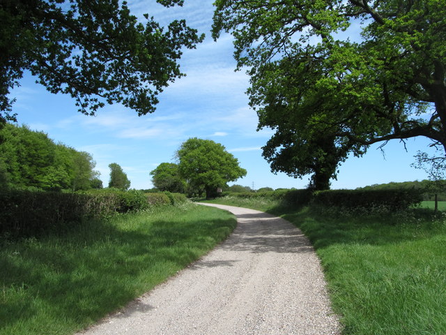
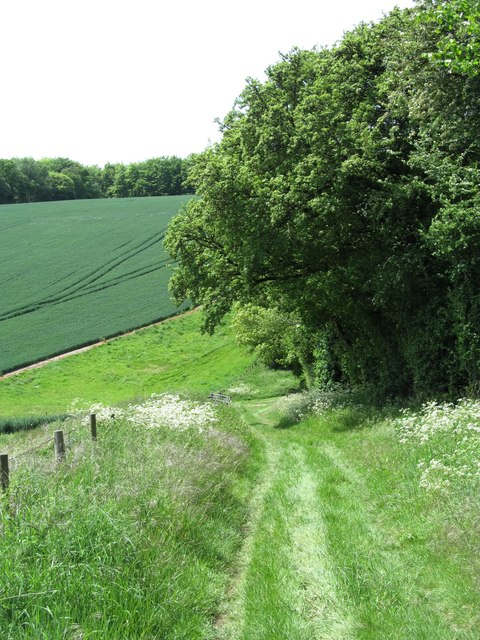
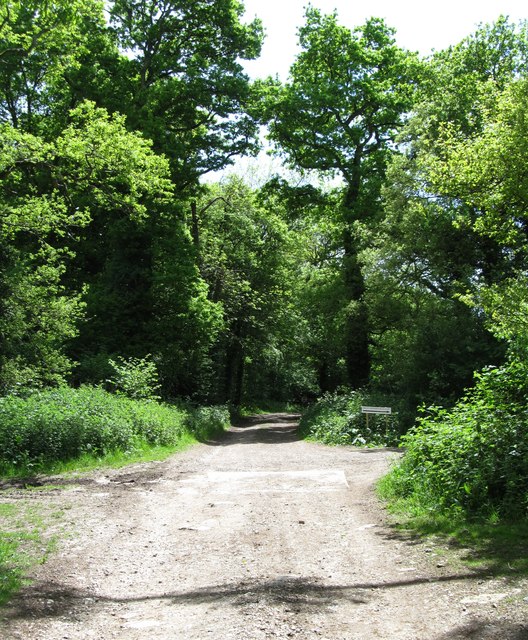
Exploring Grub Ground is a delight for hikers and walkers, with numerous well-marked trails crisscrossing the forest. These trails cater to all levels of fitness and provide an opportunity to discover hidden gems within the woodlands, such as picturesque streams, hidden glades, and peaceful ponds. The peaceful atmosphere and the soothing sounds of nature make Grub Ground an ideal destination for those seeking solace and tranquility.

Moreover, Grub Ground's proximity to other attractions in Wiltshire, such as Stonehenge and the historic city of Salisbury, makes it an ideal base for visitors wanting to explore the wider region. Whether it's a leisurely stroll through ancient woodlands or a chance to witness the wonders of nature, Grub Ground offers an unforgettable experience for all who venture into its enchanting realm.

If you have any feedback on the listing, please let us know in the comments section below.
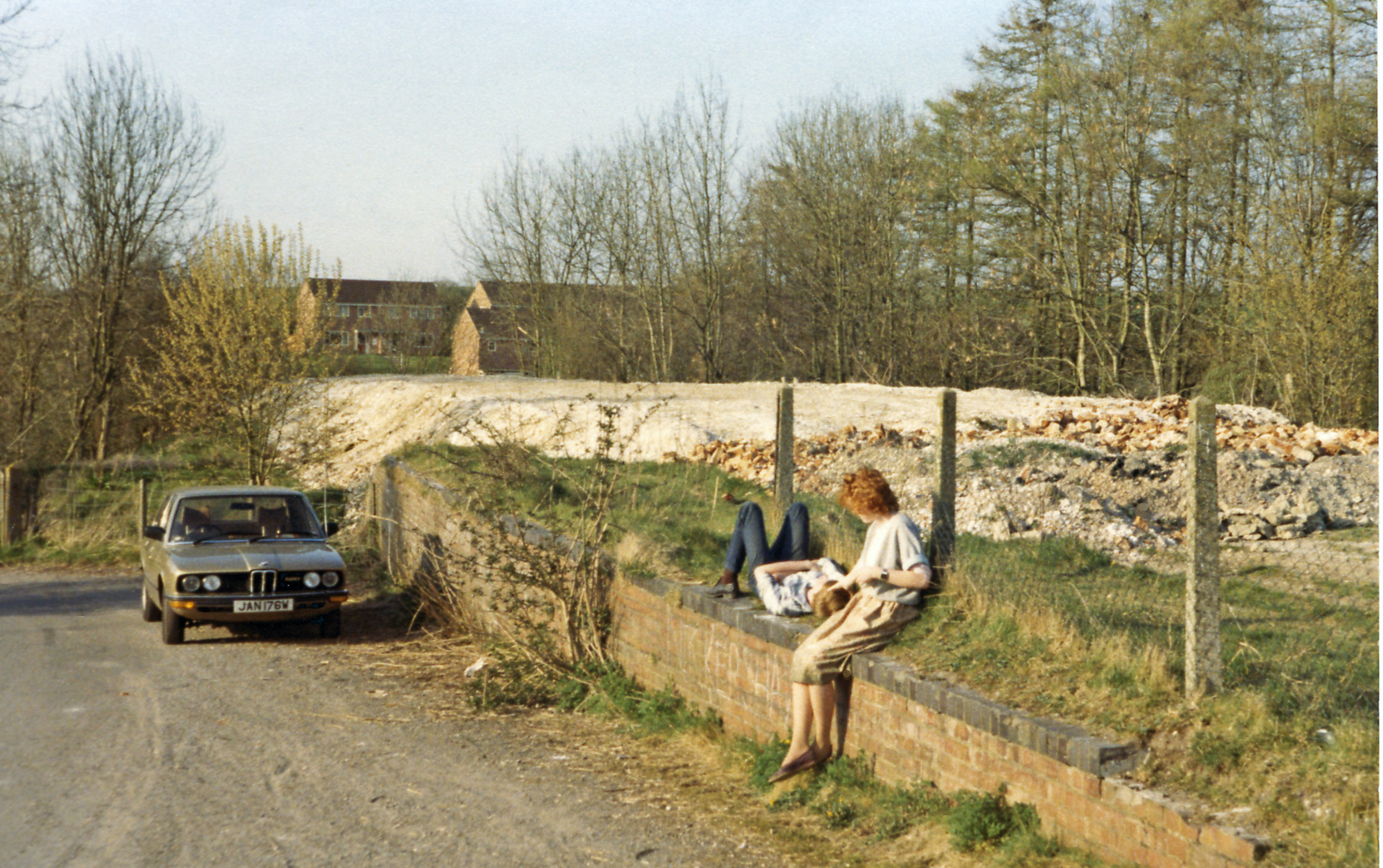
Grub Ground Images

Images are sourced within 2km of 51.285463/-1.6055287 or Grid Reference SU2754. Thanks to Geograph Open Source API. All images are credited.

Grassland, Chute The eastern flank of Shaw Bottom.
Grassland, Chute
The eastern flank of Shaw Bottom.
Farmland, Chute With the bridleway heading south from Chantry.
Farmland, Chute
With the bridleway heading south from Chantry.
Farmland, Collingbourne Kingston Buildings at Gammon's Farm and the northern tip of Rag Copse seen across a field of barley.
Farmland, Collingbourne Kingston
Buildings at Gammon's Farm and the northern tip of Rag Copse seen across a field of barley.
Track and farmland, Collingbourne Ducis A bridleway climbing from Sunton approaches stables and pasture amid mostly arable farmland.
Track and farmland, Collingbourne Ducis
A bridleway climbing from Sunton approaches stables and pasture amid mostly arable farmland.
Line of trees leading to Stert Copse A thin line of trees dividing the fields and providing a corridor between two copses.
Line of trees leading to Stert Copse
A thin line of trees dividing the fields and providing a corridor between two copses.
Edge of Fairoak Copse Taken just as the footpath emerges from the woodland and continues southwards along the edge of the field.
Edge of Fairoak Copse
Taken just as the footpath emerges from the woodland and continues southwards along the edge of the field.
White Lane This byway leads past Gammons Farm towards Chute Causeway. Walking through here in May, one is aware of the smell of wild garlic growing in the woods.
White Lane
This byway leads past Gammons Farm towards Chute Causeway. Walking through here in May, one is aware of the smell of wild garlic growing in the woods.
White Lane towards Gammon's Farm White Lane is a byway and probably an ancient route, but one which was never tarmac surfaced.
White Lane towards Gammon's Farm
White Lane is a byway and probably an ancient route, but one which was never tarmac surfaced.
Track on Shaw Down This track leaves White Lane and gradually descends towards Shaw Bottom. This must be one of the quietest areas in the whole of southern England and seems remote from towns.
Track on Shaw Down
This track leaves White Lane and gradually descends towards Shaw Bottom. This must be one of the quietest areas in the whole of southern England and seems remote from towns.
Track to Shaw Bottom The track descends into a typical downland dry valley, now completely deserted. At the bottom, in the gap between the woodland once stood Shaw Farm, now long since disappeared. My long lost great aunt - Eleanor Susan Hatton was employed here as a servant aged 14 in 1891. She must have walked this track many times.
Track to Shaw Bottom
The track descends into a typical downland dry valley, now completely deserted. At the bottom, in the gap between the woodland once stood Shaw Farm, now long since disappeared. My long lost great aunt - Eleanor Susan Hatton was employed here as a servant aged 14 in 1891. She must have walked this track many times.
Cutting a corner The rising track from Shaw Bottom towards Gammon's Farm cuts the corner of this grid square for a short distance.
Cutting a corner
The rising track from Shaw Bottom towards Gammon's Farm cuts the corner of this grid square for a short distance.
The site of Shaw Farm This is the site of the former Shaw Farm, deep in the recesses of Shaw Bottom, a typical downland dry valley.  A farm is known to have existed here in 1773 and the area may once have been the site of a larger settlement. The farm burned down in the 1940's and one can imagine that it would have been extremely difficult to bring fire fighting equipment to this site, or finding sufficient water.
My personal interest here goes back to the 1891 census, when a long lost great aunt, Eleanor Susan Hatton, was a servant girl employed here aged 14. Beyond that date there is no trace of her.
There is no trace of any foundations on the ground, although to the right of the fence is a pile of rubble containing bricks etc. Doubtful if these are from the farmhouse as they are 'factory' brick.
The site of Shaw Farm
This is the site of the former Shaw Farm, deep in the recesses of Shaw Bottom, a typical downland dry valley. A farm is known to have existed here in 1773 and the area may once have been the site of a larger settlement. The farm burned down in the 1940's and one can imagine that it would have been extremely difficult to bring fire fighting equipment to this site, or finding sufficient water. My personal interest here goes back to the 1891 census, when a long lost great aunt, Eleanor Susan Hatton, was a servant girl employed here aged 14. Beyond that date there is no trace of her. There is no trace of any foundations on the ground, although to the right of the fence is a pile of rubble containing bricks etc. Doubtful if these are from the farmhouse as they are 'factory' brick.
Track at Shaw Bottom One of the many green lanes and trackways in the area between Upper Chute and Collingbourne Ducis. This bridleway is dropping into the valley bottom at the site of Shaw Farm.
Track at Shaw Bottom
One of the many green lanes and trackways in the area between Upper Chute and Collingbourne Ducis. This bridleway is dropping into the valley bottom at the site of Shaw Farm.
East from Bauks Hill Rolling downland country close to the Wiltshire/Hampshire border. The view is towards Upper Chute, a few houses being visible amongst the trees.
East from Bauks Hill
Rolling downland country close to the Wiltshire/Hampshire border. The view is towards Upper Chute, a few houses being visible amongst the trees.
Path to Chantry One of many paths, bridleways and green tracks around Chute. This one leads northwards along a broad ridge with may blossom to the right and an old timber barn to the left.
Path to Chantry
One of many paths, bridleways and green tracks around Chute. This one leads northwards along a broad ridge with may blossom to the right and an old timber barn to the left.
Chantry Lane Chantry Lane would appear to be an ancient route linking the Roman Chute Causeway with Biddesden, where there was a Roman villa. Part of the network of byways, green lanes and tracks in the area around Chute.
Chantry Lane
Chantry Lane would appear to be an ancient route linking the Roman Chute Causeway with Biddesden, where there was a Roman villa. Part of the network of byways, green lanes and tracks in the area around Chute.
Farmland and woodland, Chute A view over mixed farmland and the northern end of Haybourne Copse from a footpath to the north of Upper Chute.
Farmland and woodland, Chute
A view over mixed farmland and the northern end of Haybourne Copse from a footpath to the north of Upper Chute.
Farmland, Ludgershall A bridleway and cereal crop at the edge of Oxdown Copse, part of Collingbourne Wood.
Farmland, Ludgershall
A bridleway and cereal crop at the edge of Oxdown Copse, part of Collingbourne Wood.
Show me another place!

Grub Ground is located at Grid Ref: SU2754 (Lat: 51.285463, Lng: -1.6055287)

Unitary Authority: Wiltshire

Police Authority: Wiltshire

What 3 Words

///canine.gossip.relegate. Near Ludgershall, Wiltshire

Related Wikis

Chute, Wiltshire

Chute is a civil parish in east Wiltshire, England, on the border with Hampshire. It includes the main village of Upper Chute and the smaller settlements...

Collingbourne railway station

Collingbourne railway station served the village of Collingbourne Ducis in Wiltshire, England. It was on the Midland and South Western Junction Railway...

Ludgershall Castle

Ludgershall Castle is a ruined 12th-century fortified royal residence at Ludgershall in Wiltshire, England. Three large walls still remain of the castle...

Collingbourne Ducis

Collingbourne Ducis is a village and civil parish on Salisbury Plain in Wiltshire, England, about 10 miles (16 km) south of Marlborough. It is one of several...

Ludgershall, Wiltshire

Ludgershall ( LUG-ər-shawl, with a hard g) is a town and civil parish 16 miles (26 km) north east of Salisbury, Wiltshire, England. It is on the A342 road...

Perriam Down

Perriam Down or Perriam Downs, near Ludgershall, Wiltshire, England was a venue for five first-class cricket matches and at least three other matches between...

Ludgershall railway station, Wiltshire

Ludgershall railway station was a railway station which served the town of Ludgershall in Wiltshire, England from 1882 to 1961. == History == The station...

Faberstown

Faberstown is a settlement in the civil parish of Ludgershall, Wiltshire, England. Its nearest town is Andover, approximately 6 miles (9.7 km) to the...

Nearby Amenities

Located within 500m of 51.285463,-1.6055287
Whittle Copse
Place: locality
Lat/Long: 51.2873562/-1.6120338
Shawdown Copse
Place: locality
Lat/Long: 51.2887181/-1.6062738
Shaw Down
Place: locality
Lat/Long: 51.2889553/-1.6025227
Grub Ground
Place: locality
Lat/Long: 51.2856674/-1.6057329
Grubground Copse
Place: locality
Lat/Long: 51.2838818/-1.6073205
Rudge Copse
Place: locality
Lat/Long: 51.2815211/-1.6063039
The data included in this document is from www.openstreetmap.org. The data is made available under ODbL.

Have you been to Grub Ground?

Leave your review of Grub Ground below (or comments, questions and feedback).