Bentley Spring
Wood, Forest in Yorkshire
England
Bentley Spring
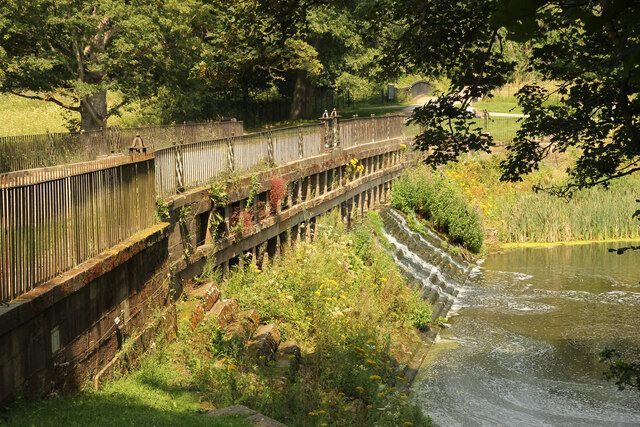
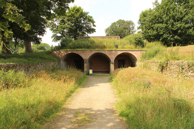
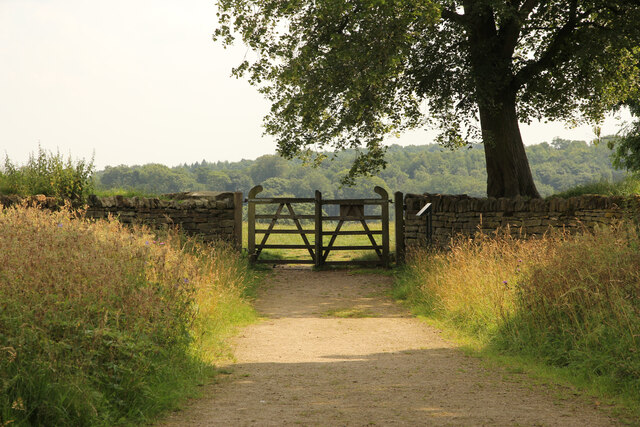
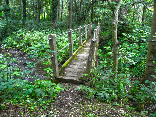
Bentley Spring, located in Yorkshire, is a picturesque wood and forest area that offers visitors a serene and natural escape from the bustling city life. Covering an expansive area, Bentley Spring is a haven for nature enthusiasts and outdoor adventurers alike.
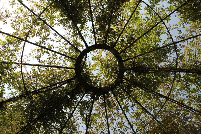
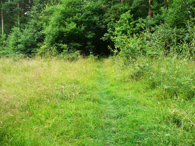
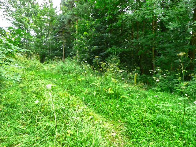
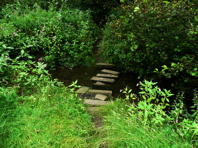
The woodlands in Bentley Spring boast a rich diversity of flora and fauna. Towering oak, beech, and chestnut trees create a dense canopy, providing shade and shelter to the numerous species that call this forest home. The forest floor is adorned with carpets of wildflowers, creating a vibrant and colorful landscape during the spring and summer months.
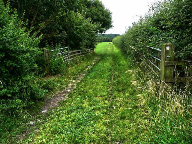
Traversing through Bentley Spring, one can find a network of well-maintained trails and paths that wind through the woodlands. These trails cater to hikers of all skill levels, offering varying distances and difficulties. Whether one seeks a leisurely stroll or a challenging hike, Bentley Spring has something to offer.
The forest also houses a plethora of wildlife, with sightings of deer, foxes, and rabbits being common. Birdwatchers will delight in the avian diversity, as Bentley Spring is home to a wide range of bird species, including woodpeckers, owls, and various songbirds.
For those seeking a tranquil picnic spot or a place to relax and unwind, Bentley Spring provides several designated areas with benches and picnic tables. These spots offer breathtaking views of the surrounding woodlands and serve as a perfect backdrop for a peaceful afternoon.
In conclusion, Bentley Spring, Yorkshire, is a captivating wood and forest area that offers visitors a chance to connect with nature. With its diverse flora and fauna, well-maintained trails, and serene picnic spots, Bentley Spring is a must-visit destination for those looking to immerse themselves in the beauty of Yorkshire's natural landscapes.
If you have any feedback on the listing, please let us know in the comments section below.
Bentley Spring Images
Images are sourced within 2km of 53.617275/-1.5911557 or Grid Reference SE2713. Thanks to Geograph Open Source API. All images are credited.
Bentley Spring is located at Grid Ref: SE2713 (Lat: 53.617275, Lng: -1.5911557)
Division: West Riding
Unitary Authority: Wakefield
Police Authority: West Yorkshire
What 3 Words
///watches.monitors.depravity. Near Emley, West Yorkshire
Related Wikis

Bretton Hall College of Education
Bretton Hall College of Education was a higher education college in West Bretton in the West Riding of Yorkshire, England. It opened as a teacher training...
Bretton Hall, West Yorkshire
Bretton Hall is a country house in West Bretton near Wakefield, West Yorkshire, England. It housed Bretton Hall College from 1949 until 2001 and was a...
West Bretton
West Bretton is a village and civil parish near Wakefield, West Yorkshire, England. It lies close to junction 38 of the M1 motorway at Haigh. It has a...

A636 road
The A636 is a main road in West Yorkshire, England, starting at Wakefield (53.6788°N 1.5002°W / 53.6788; -1.5002 (A636 road (northern end))) and connecting...
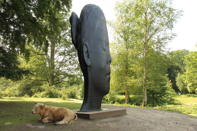
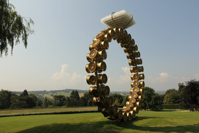
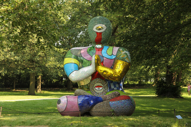
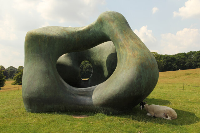
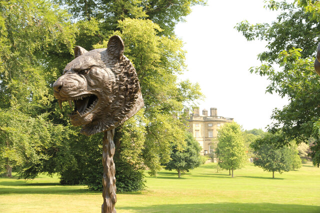
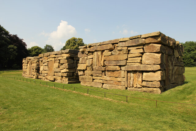
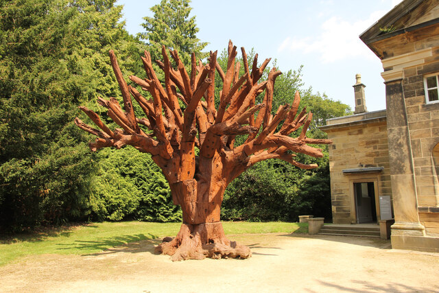
Yorkshire Sculpture Park
The Yorkshire Sculpture Park (YSP) is an art gallery, with both open-air and indoor exhibition spaces, in West Bretton, Wakefield, in West Yorkshire, England...

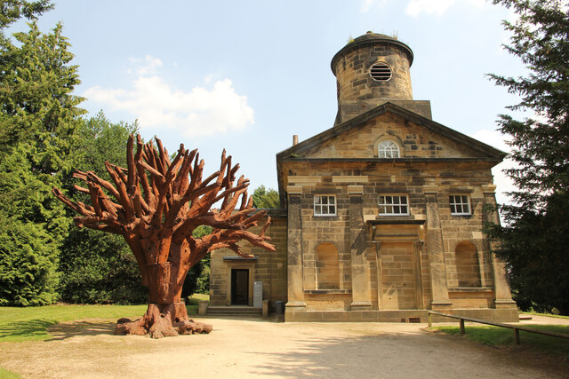
St Bartholomew's Chapel, West Bretton
St Bartholomew's Chapel is a former estate church in the grounds of Bretton Hall, in West Bretton near Wakefield in West Yorkshire, England. The redundant...

HM Prison New Hall
HMP New Hall. is a closed-category prison for female adults, juveniles, and young offenders. The prison is located in the village of Flockton (near Wakefield...

Clayton West railway station
Clayton West railway station is a station that was previously on the national rail network (until 1983) and now forms the eastern terminus of the Whistlestop...
Nearby Amenities
Located within 500m of 53.617275,-1.5911557Have you been to Bentley Spring?
Leave your review of Bentley Spring below (or comments, questions and feedback).