Bella Vista Plantation
Wood, Forest in Yorkshire
England
Bella Vista Plantation
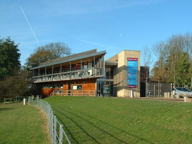
Bella Vista Plantation, located in the picturesque region of Yorkshire, England, is a sprawling estate renowned for its stunning woodlands and enchanting forests. Spanning over acres of land, this plantation is a nature lover's paradise, offering a serene and idyllic retreat from the hustle and bustle of everyday life.
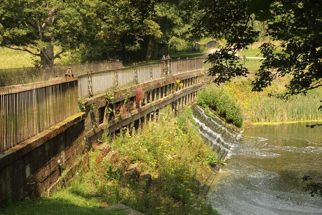
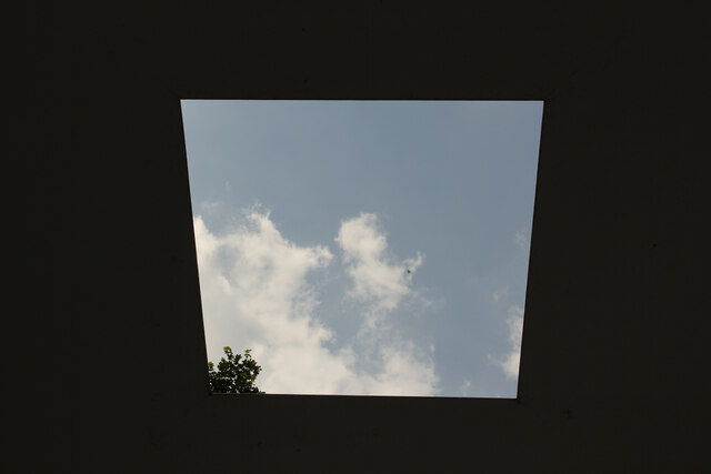
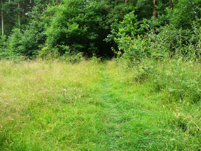
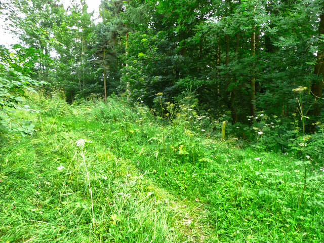
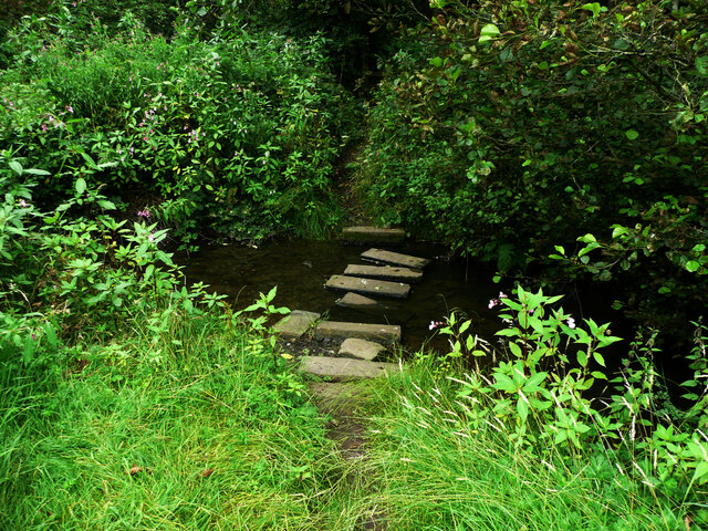
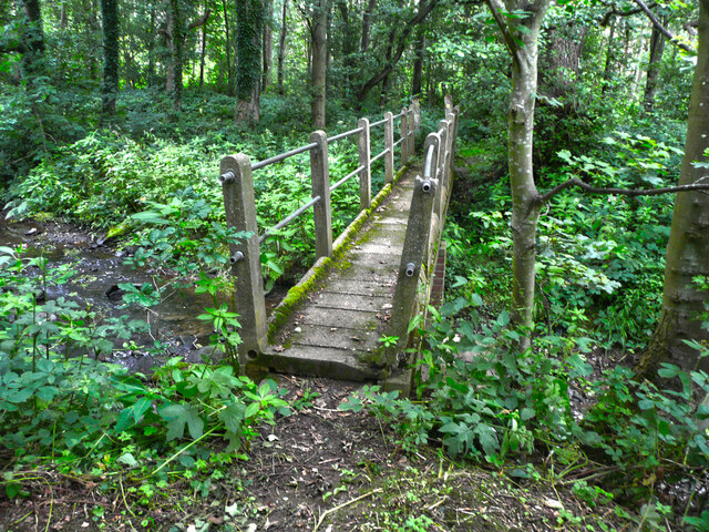
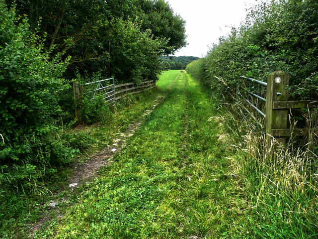
The centerpiece of Bella Vista Plantation is its captivating wood, which boasts an impressive variety of trees, including oak, beech, and pine. The wood is meticulously maintained, ensuring a harmonious balance between nature and human intervention. Visitors can meander through the well-marked trails, taking in the breathtaking scenery and enjoying the tranquility that only a forest can provide.
In addition to the wood, Bella Vista Plantation is home to several enchanting forests that further enhance its natural beauty. These forests are teeming with wildlife, including deer, squirrels, and various species of birds, making it a haven for nature enthusiasts and bird watchers alike.
Aside from its natural wonders, Bella Vista Plantation also offers a range of amenities to cater to its visitors. There are charming picnic areas scattered throughout the estate, allowing families and friends to enjoy a leisurely outdoor meal amidst the stunning backdrop of the wood and forests. Additionally, the plantation offers guided tours for those interested in learning more about the local flora and fauna.
Overall, Bella Vista Plantation is a true gem in Yorkshire, offering a sublime blend of natural beauty, tranquility, and recreational opportunities. Whether one seeks a peaceful retreat or an adventure in the great outdoors, this plantation has something to offer for everyone.
If you have any feedback on the listing, please let us know in the comments section below.
Bella Vista Plantation Images
Images are sourced within 2km of 53.618613/-1.5829037 or Grid Reference SE2713. Thanks to Geograph Open Source API. All images are credited.
Bella Vista Plantation is located at Grid Ref: SE2713 (Lat: 53.618613, Lng: -1.5829037)
Division: West Riding
Unitary Authority: Wakefield
Police Authority: West Yorkshire
What 3 Words
///equipment.goofy.staked. Near Emley, West Yorkshire
Related Wikis
West Bretton
West Bretton is a village and civil parish near Wakefield, West Yorkshire, England. It lies close to junction 38 of the M1 motorway at Haigh. It has a...

Bretton Hall College of Education
Bretton Hall College of Education was a higher education college in West Bretton in the West Riding of Yorkshire, England. It opened as a teacher training...
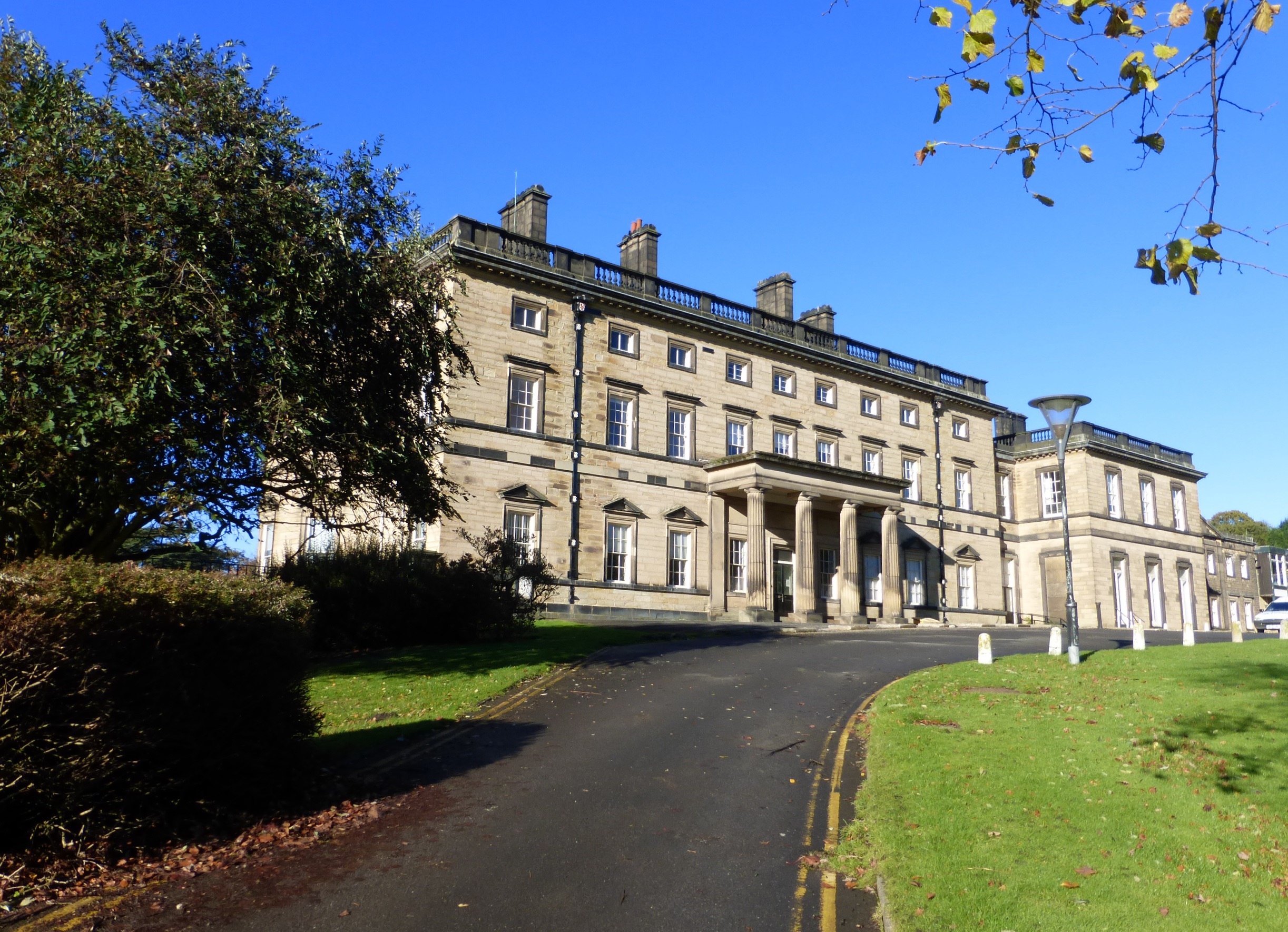
Bretton Hall, West Yorkshire
Bretton Hall is a country house in West Bretton near Wakefield, West Yorkshire, England. It housed Bretton Hall College from 1949 until 2001 and was a...

A636 road
The A636 is a main road in West Yorkshire, England, starting at Wakefield (53.6788°N 1.5002°W / 53.6788; -1.5002 (A636 road (northern end))) and connecting...
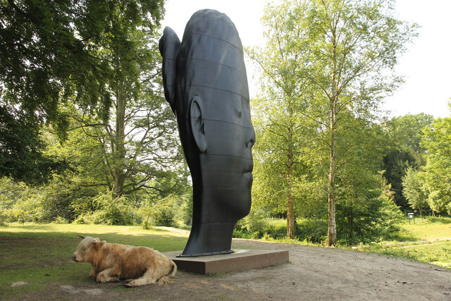
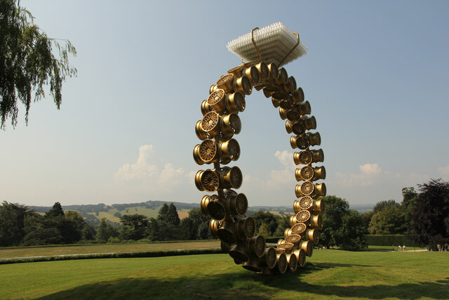
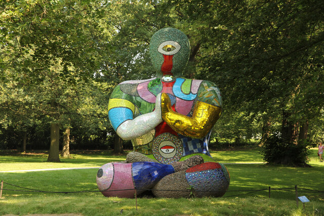
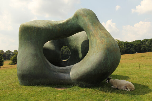
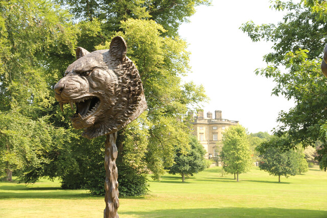
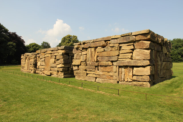
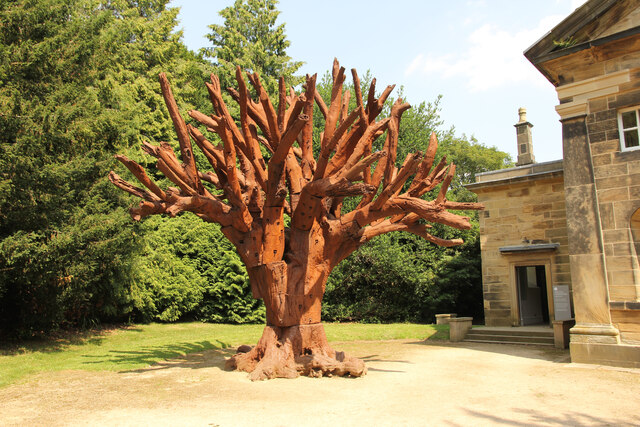
Yorkshire Sculpture Park
The Yorkshire Sculpture Park (YSP) is an art gallery, with both open-air and indoor exhibition spaces, in West Bretton, Wakefield, in West Yorkshire, England...

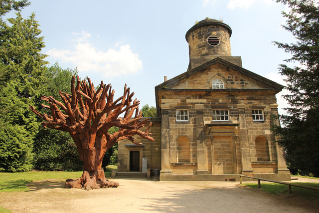
St Bartholomew's Chapel, West Bretton
St Bartholomew's Chapel is a former estate church in the grounds of Bretton Hall, in West Bretton near Wakefield in West Yorkshire, England. The redundant...
Woolley Edge services
Woolley Edge services is a motorway service station on the M1 motorway within the borough of the City of Wakefield, West Yorkshire, England. It lies between...
Sitlington
Sitlington, historically Shitlington, was a township in the ancient ecclesiastical parish of Thornhill in the wapentake of Agbrigg and Morley in the West...
Nearby Amenities
Located within 500m of 53.618613,-1.5829037Have you been to Bella Vista Plantation?
Leave your review of Bella Vista Plantation below (or comments, questions and feedback).