Ash Copse

Wood, Forest in Wiltshire New Forest

England

Ash Copse

King's Garn Gutter
King's Garn Gutter Credit: Helen Steed

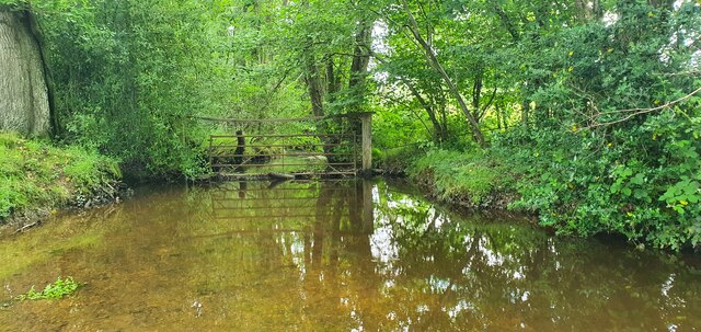
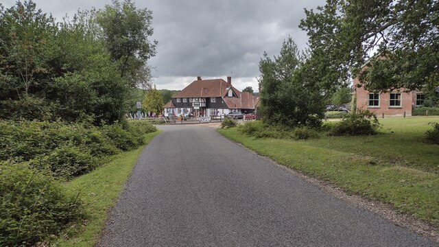
Ash Copse is a woodland area located in the county of Wiltshire, England. Spanning approximately 50 hectares, it is situated near the village of Shrewton, just south of Salisbury Plain. The copse is predominantly composed of ash trees, from which it derives its name.

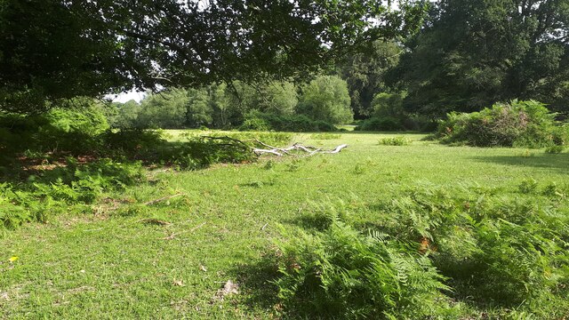
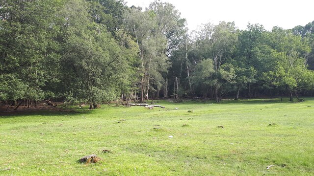
The woodland is characterized by its dense and varied vegetation, with a mixture of mature trees, shrubs, and undergrowth. Ash Copse is known for its rich biodiversity, providing a habitat for a wide range of flora and fauna. The canopy of the trees creates a shaded and cool environment, ideal for various species of birds, insects, and small mammals.

Visitors to Ash Copse can enjoy peaceful walks along its well-maintained footpaths. The woodland is intersected by several trails, allowing visitors to explore its different sections. The paths are surrounded by a diverse array of plant life, including bluebells, primroses, and ferns, which create a colorful and vibrant atmosphere throughout the year.

Ash Copse is managed by the local authorities, who are committed to preserving its natural beauty and protecting its wildlife. Conservation efforts include maintaining a healthy balance of tree species, managing the undergrowth, and controlling invasive plants.

Overall, Ash Copse offers a tranquil escape from the hustle and bustle of everyday life. Its natural beauty, diverse wildlife, and well-maintained footpaths make it a popular destination for nature lovers, hikers, and photographers alike.

If you have any feedback on the listing, please let us know in the comments section below.
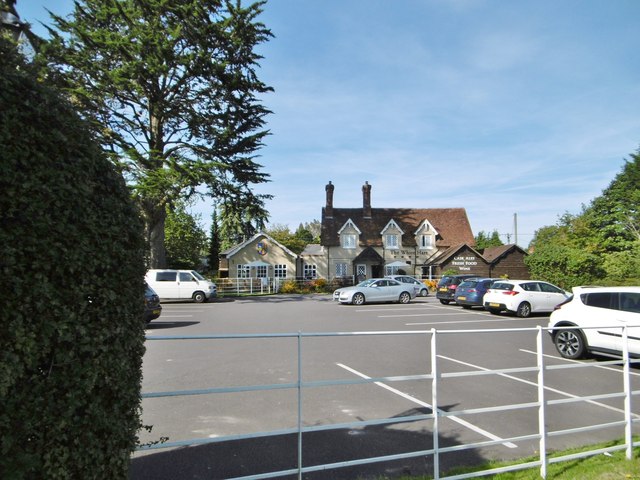
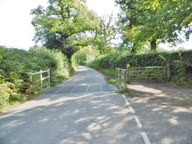
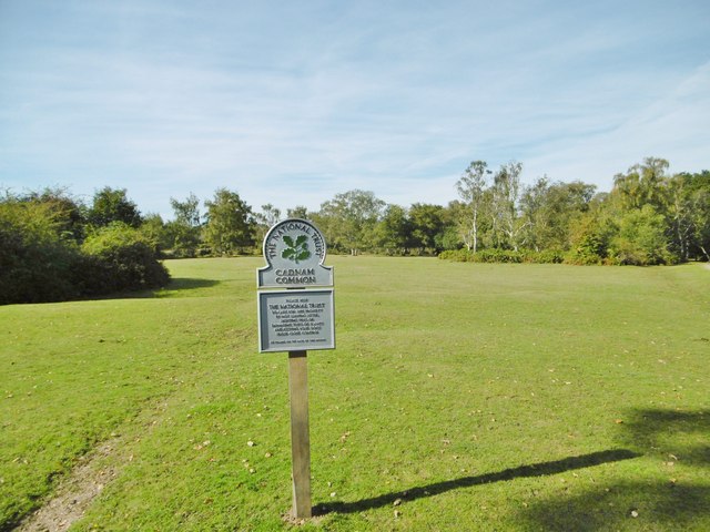
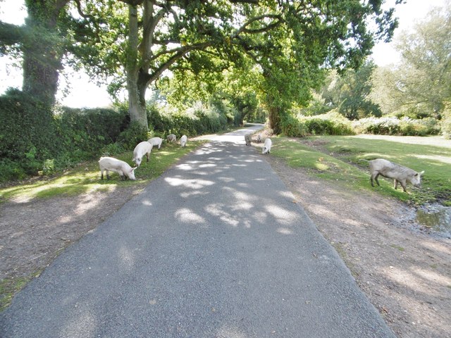
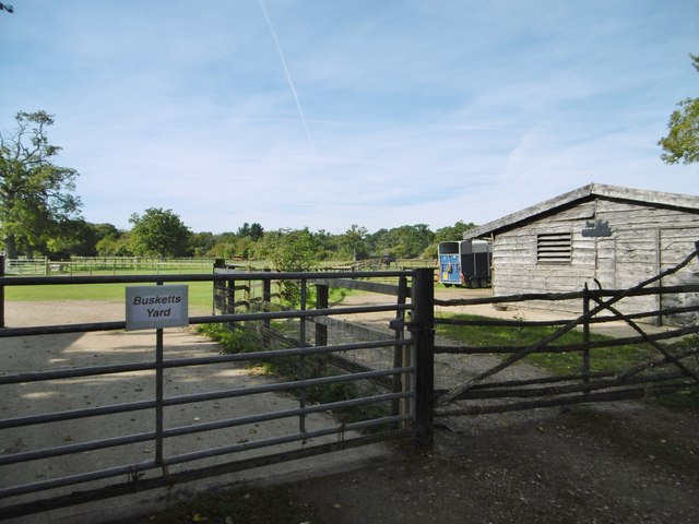
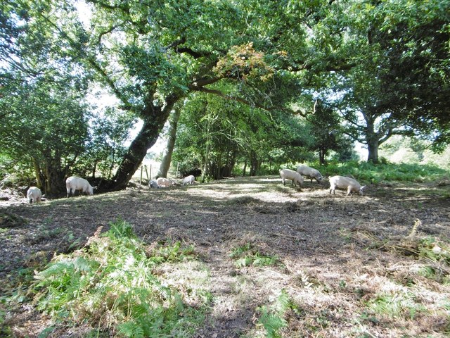
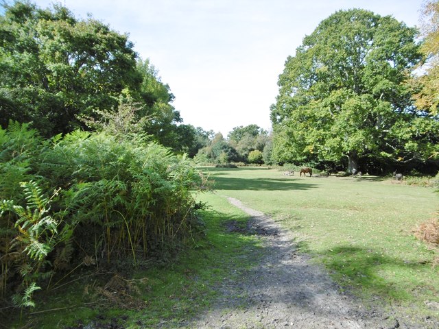
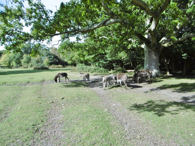
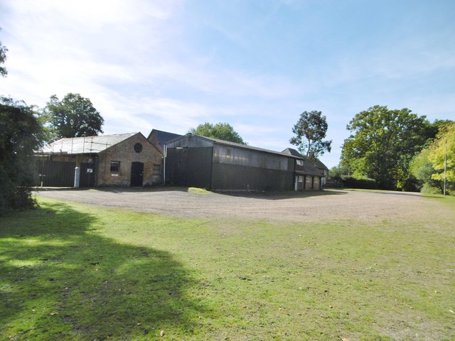
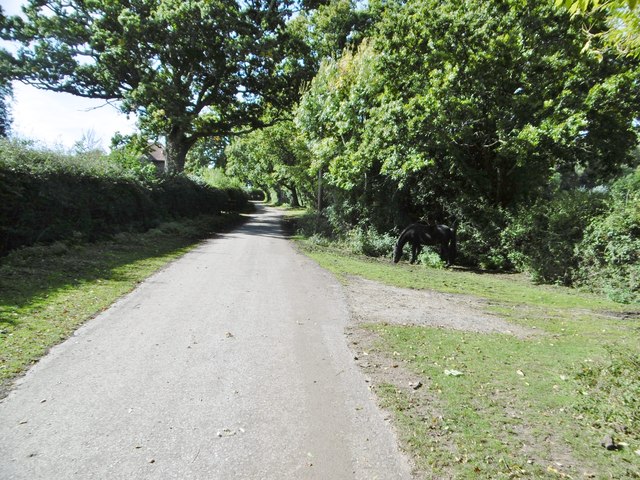
Ash Copse Images

Images are sourced within 2km of 50.927906/-1.6042756 or Grid Reference SU2714. Thanks to Geograph Open Source API. All images are credited.

King's Garn Gutter
King's Garn Gutter
Forest lawn on lower edge of Brook Wood
View across clearing in Brook Wood
Garden at White Hart Public House
Lane to Brook Lane to Brook passing the Sir Walter Tyrell pub
Lane to Brook
Lane to Brook passing the Sir Walter Tyrell pub
Signage - M27 southbound
Signage - A31 northbound
Cadnam, White Hart Free House on Romsey Road. Central bar, with drinking at eating areas on three sides; garden. Cask ales on offer at my visit: Brunning & Price Original, Flack's Double, Hop Back GB, Itchen Valley Bulgarum. The pub also stocks a wide range of gins.
Cadnam, White Hart
Free House on Romsey Road. Central bar, with drinking at eating areas on three sides; garden. Cask ales on offer at my visit: Brunning & Price Original, Flack's Double, Hop Back GB, Itchen Valley Bulgarum. The pub also stocks a wide range of gins.
Newbridge, cattle grid At the south-eastern boundary of Cadnam Common.
Newbridge, cattle grid
At the south-eastern boundary of Cadnam Common.
Cadnam Common, National Trust marker Cadnam Common is an "adjacent common", sharing geographical and ecological features with the New Forest, but not crown land; this common is owned by the National Trust. <span class="nowrap"><a title="http://www.nationaltrust.org.uk/new-forest-northern-commons/" rel="nofollow ugc noopener" href="http://www.nationaltrust.org.uk/new-forest-northern-commons/">Link</a><img style="margin-left:2px;" alt="External link" title="External link - shift click to open in new window" src="https://s1.geograph.org.uk/img/external.png" width="10" height="10"/></span>
Cadnam Common, National Trust marker
Cadnam Common is an "adjacent common", sharing geographical and ecological features with the New Forest, but not crown land; this common is owned by the National Trust. LinkExternal link
Cadnam Common, pannage pigs A herd of eleven pigs, doing what they should do in the pannage season - forage for acorns and beech mast, which can be poisonous to other livestock. <span class="nowrap"><a title="http://www.thenewforest.co.uk/discover/pigs.aspx#" rel="nofollow ugc noopener" href="http://www.thenewforest.co.uk/discover/pigs.aspx#">Link</a><img style="margin-left:2px;" alt="External link" title="External link - shift click to open in new window" src="https://s1.geograph.org.uk/img/external.png" width="10" height="10"/></span>
Cadnam Common, pannage pigs
A herd of eleven pigs, doing what they should do in the pannage season - forage for acorns and beech mast, which can be poisonous to other livestock. LinkExternal link
Cadnam, Busketts Yard Stables on Cadnam Lane.
Cadnam, Busketts Yard
Stables on Cadnam Lane.
Cadnam Common, pannage pigs On the western boundary of the common; pigs doing what is expected of them at this time of year - forage for fallen acorns, which can be poisonous to other livestock. <span class="nowrap"><a title="http://www.thenewforest.co.uk/discover/pigs.aspx#" rel="nofollow ugc noopener" href="http://www.thenewforest.co.uk/discover/pigs.aspx#">Link</a><img style="margin-left:2px;" alt="External link" title="External link - shift click to open in new window" src="https://s1.geograph.org.uk/img/external.png" width="10" height="10"/></span>
Cadnam Common, pannage pigs
On the western boundary of the common; pigs doing what is expected of them at this time of year - forage for fallen acorns, which can be poisonous to other livestock. LinkExternal link
Cadnam Common An "adjacent common", similar to the New Forest physically and ecologically, but not Crown land; this common is owned by the National Trust. <span class="nowrap"><a title="http://www.nationaltrust.org.uk/new-forest-northern-commons/" rel="nofollow ugc noopener" href="http://www.nationaltrust.org.uk/new-forest-northern-commons/">Link</a><img style="margin-left:2px;" alt="External link" title="External link - shift click to open in new window" src="https://s1.geograph.org.uk/img/external.png" width="10" height="10"/></span>
Cadnam Common
An "adjacent common", similar to the New Forest physically and ecologically, but not Crown land; this common is owned by the National Trust. LinkExternal link
Cadnam Common, donkeys
Cadnam, Storm's Farm Stables overlooking Cadnam Common.
Cadnam, Storm's Farm
Stables overlooking Cadnam Common.
Cadnam, byway From Storm's Farm to Kewlake Lane.
Cadnam, byway
From Storm's Farm to Kewlake Lane.
Show me another place!

Ash Copse is located at Grid Ref: SU2714 (Lat: 50.927906, Lng: -1.6042756)

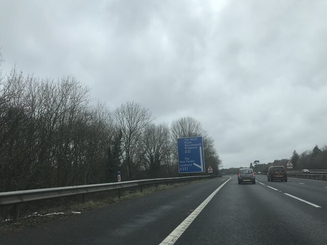
Administrative County: Hampshire

District: New Forest

Police Authority: Hampshire

What 3 Words

///cunning.resonates.quieter. Near Cadnam, Hampshire

Related Wikis

Brook, New Forest

Brook is a hamlet in the civil parish of Bramshaw, in Hampshire, England. It lies just inside the New Forest. The hamlet contains a mix of 18th and 19th...

Bramshaw

Bramshaw is a small village and civil parish in Hampshire, England. It lies just inside the New Forest. The name Bramshaw means Bramble Wood. Until 1895...

Bartley Lodge

Bartley Lodge is a country house near Cadnam in Hampshire, England, within the boundaries of the New Forest National Park. It was built in the 18th century...

Upper Canterton

Upper Canterton is a village in Hampshire, England, located at 50°54′36″N 1°37′24″W. It is near Minstead. == References == The geographic coordinates are...

Cadnam

Cadnam is a village situated in Hampshire, England, within the boundaries of the New Forest National Park. The village has existed since the medieval period...

Minstead

Minstead is a small village and civil parish in the New Forest, Hampshire, about 2 miles (3.2 km) north of Lyndhurst. There is a shop and a pub, the Trusty...

Copythorne

Copythorne is a village and civil parish in Hampshire, England, within the boundaries of the New Forest National Park. == Overview == Copythorne is in...

Bartley, Hampshire

Bartley is a village in Hampshire, England, within the boundaries of the New Forest National Park, seven miles (11 km) west of Southampton. == Overview... ==

Nearby Amenities

Located within 500m of 50.927906,-1.6042756
The data included in this document is from www.openstreetmap.org. The data is made available under ODbL.

Have you been to Ash Copse?

Leave your review of Ash Copse below (or comments, questions and feedback).