Gostee Spinney

Wood, Forest in Warwickshire Warwick

England

Gostee Spinney

Centenary Way towards Kenilworth Viewed during a heatwave and the vegetation is showing some signs. It is entirely flat until you get to Kenilworth. A yellowhammer settled on the path just along this stretch but I wasn't quick enough with my camera.
Centenary Way towards Kenilworth Credit: Bill Boaden

Gostee Spinney is a picturesque woodland located in Warwickshire, England. Situated in the charming village of Wood, the spinney is well-known for its natural beauty and tranquil atmosphere. Spanning over several acres, it offers a peaceful retreat for locals and visitors alike.

The spinney is primarily composed of a diverse range of trees, including oak, birch, and beech, which create a dense canopy overhead. This lush foliage provides a haven for various wildlife species, making it a popular spot for nature enthusiasts and birdwatchers. Visitors can often spot a plethora of birds, including woodpeckers, thrushes, and finches, flitting amongst the branches.

The woodland is crisscrossed with well-maintained footpaths, allowing visitors to explore its hidden corners and discover its many delights. As one meanders through the spinney, they can stumble upon babbling brooks, wildflowers, and even occasional glimpses of deer or foxes. The peaceful ambiance and the gently rustling leaves make Gostee Spinney an ideal location for a leisurely stroll or a peaceful picnic.

Gostee Spinney also holds historical significance, with ancient relics and remnants of its past scattered throughout the woodland. The area is said to have been inhabited since medieval times, and remnants of old stone walls and paths can still be seen, adding a touch of mystery and intrigue to the woodland.

Overall, Gostee Spinney in Wood, Warwickshire is a haven of natural beauty, providing locals and visitors with a serene escape from the hustle and bustle of everyday life. Whether one seeks solitude, wildlife encounters, or simply a breath of fresh air, this enchanting woodland offers it all.

If you have any feedback on the listing, please let us know in the comments section below.

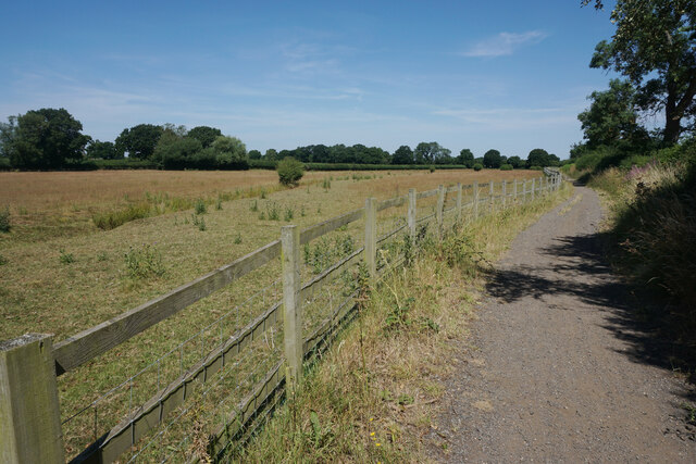
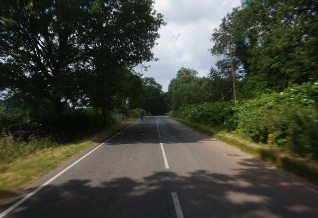
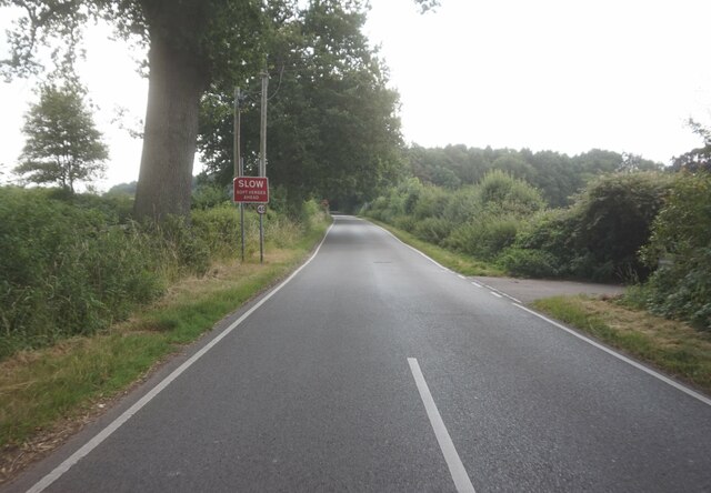
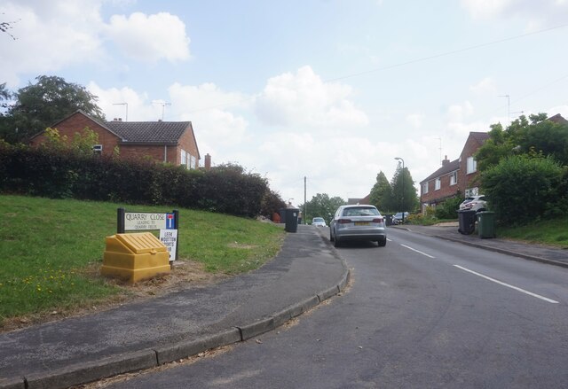
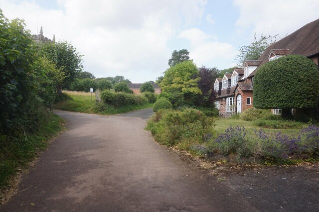
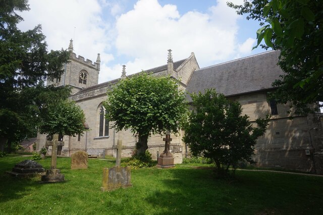
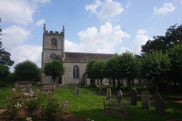
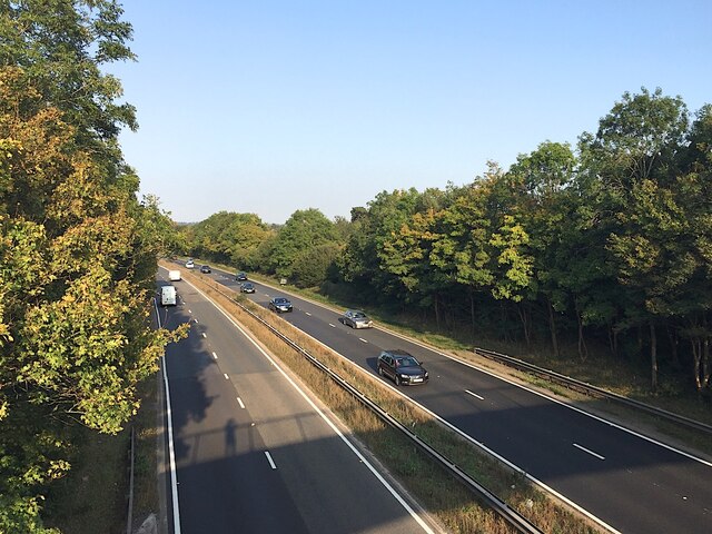
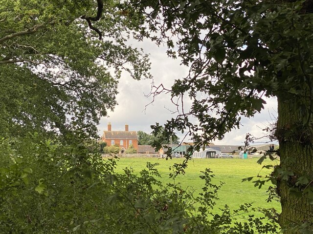
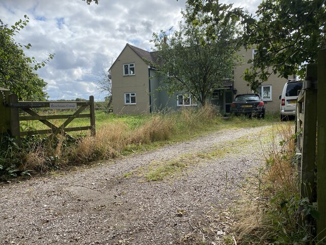
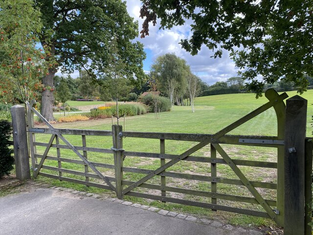
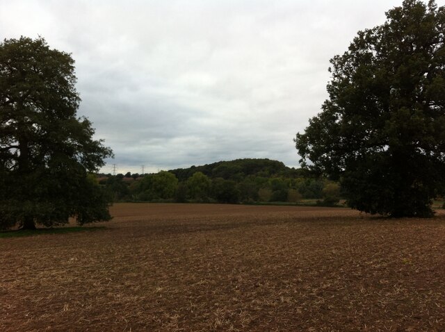
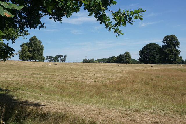
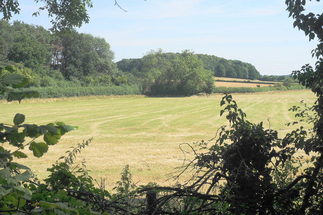
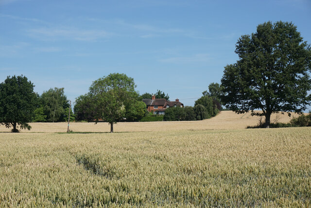
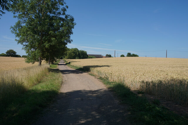
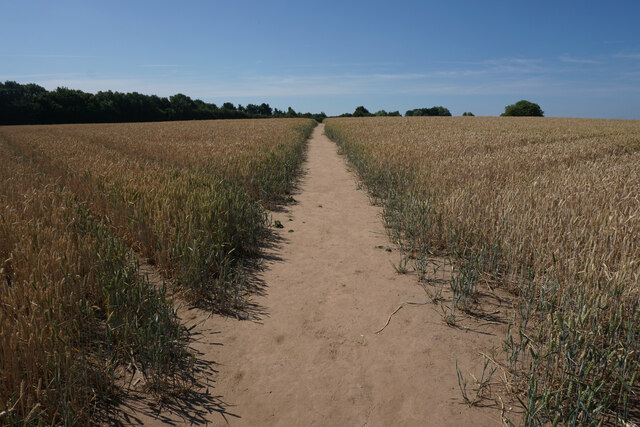
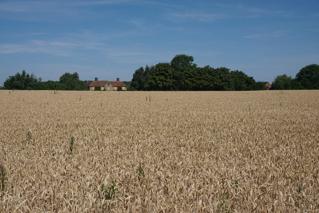
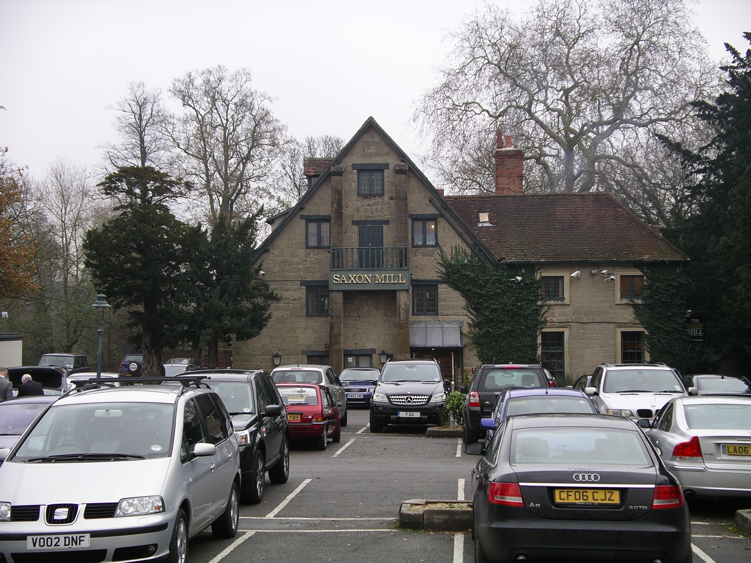
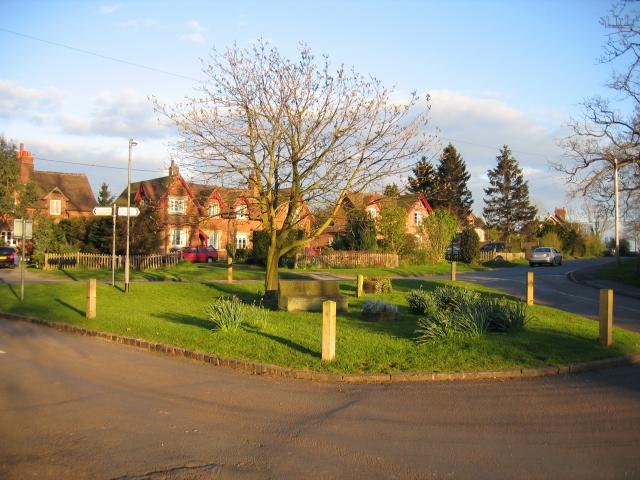
Gostee Spinney Images

Images are sourced within 2km of 52.313221/-1.5919888 or Grid Reference SP2768. Thanks to Geograph Open Source API. All images are credited.

Centenary Way towards Kenilworth Viewed during a heatwave and the vegetation is showing some signs. It is entirely flat until you get to Kenilworth. A yellowhammer settled on the path just along this stretch but I wasn't quick enough with my camera.
Centenary Way towards Kenilworth
Viewed during a heatwave and the vegetation is showing some signs. It is entirely flat until you get to Kenilworth. A yellowhammer settled on the path just along this stretch but I wasn't quick enough with my camera.
Rouncil Lane towards Woodcote Lane
Woodcote Lane towards Leek Wotton
Quarry Close, Leek Wotton
Church Lane, Leek Wotton
All Saints Church, Leek Wotton
All Saints Church, Leek Wootton
A46 near Loes Farm, Guy's Cliffe, Warwick This view is the nearest possible re-creation of the first photo submitted for the grid square SP2867, by David Stowell in 2005 <a href="https://www.geograph.org.uk/photo/6169">SP2867 : Loes Farm</a>. His viewpoint is now inaccessible and the trees have grown up, obscuring the view of the farmhouse.
A46 near Loes Farm, Guy's Cliffe, Warwick
This view is the nearest possible re-creation of the first photo submitted for the grid square SP2867, by David Stowell in 2005 SP2867 : Loes Farm. His viewpoint is now inaccessible and the trees have grown up, obscuring the view of the farmhouse.
Roundshill Farm View across fields to Roundshill Farm.
Roundshill Farm
View across fields to Roundshill Farm.
Henchman’s Cottage
Henchman’s Cottage
Gateway to Little Woodcote estate
Wood on Blacklow Hill, seen from Old Milverton Blacklow Hill was the site of execution of Piers Gaveston, favourite of Edward II, in 1312, and a monument erected in the 19th century is situated in the wood; see the Historic England site here <span class="nowrap"><a title="https://historicengland.org.uk/listing/the-list/list-entry/1364935" rel="nofollow ugc noopener" href="https://historicengland.org.uk/listing/the-list/list-entry/1364935">Link</a><img style="margin-left:2px;" alt="External link" title="External link - shift click to open in new window" src="https://s1.geograph.org.uk/img/external.png" width="10" height="10"/></span> . The A46 Warwick bypass road, not visible in this photo, cuts into the eastern side of the hill.
Wood on Blacklow Hill, seen from Old Milverton
Blacklow Hill was the site of execution of Piers Gaveston, favourite of Edward II, in 1312, and a monument erected in the 19th century is situated in the wood; see the Historic England site here LinkExternal link . The A46 Warwick bypass road, not visible in this photo, cuts into the eastern side of the hill.
Grazing land by Woodloes Lane This is now the northern edge of the Warwick conurbation.
Grazing land by Woodloes Lane
This is now the northern edge of the Warwick conurbation.
Silage field by the A46 Seen through an infrequent gap in the foliage on Woodloes Lane.
Silage field by the A46
Seen through an infrequent gap in the foliage on Woodloes Lane.
Wheat field near Woodloes Farm In the background is housing near Middle Woodloes.
Wheat field near Woodloes Farm
In the background is housing near Middle Woodloes.
Track to Woodloes Farm The track is also a footpath, used by both the Millennium Way and the Centenary Way long distance paths.
Track to Woodloes Farm
The track is also a footpath, used by both the Millennium Way and the Centenary Way long distance paths.
Footpath near Woodloes Farm The path leads to the north western suburbs of Warwick. The Warwick Bypass runs behind the trees to the left.
Footpath near Woodloes Farm
The path leads to the north western suburbs of Warwick. The Warwick Bypass runs behind the trees to the left.
Wheat field by Woodloes Farm The building in view has been boarded up, though other farm buildings still seem to be in operation here. A former field boundary has disappeared.
Wheat field by Woodloes Farm
The building in view has been boarded up, though other farm buildings still seem to be in operation here. A former field boundary has disappeared.
Show me another place!

Gostee Spinney is located at Grid Ref: SP2768 (Lat: 52.313221, Lng: -1.5919888)

Administrative County: Warwickshire

District: Warwick

Police Authority: Warwickshire

What 3 Words

///woof.quieter.drifters. Near Leek Wootton, Warwickshire

Related Wikis

Nearby Amenities

Located within 500m of 52.313221,-1.5919888
Barrier: kissing_gate
Source: survey
Lat/Long: 52.3126082/-1.5962375
Brand: National Grid
Brand Wikidata: Q1465461
Material: metal
Operator: National Grid Electricity Distribution
Operator Old: Western Power Distribution
Operator Wikidata: Q7988183
Owner: National Grid Electricity Distribution (East Midlands) Plc
Owner Wikidata: Q114348127
Power: tower
Lat/Long: 52.3132992/-1.5983008
Brand: National Grid
Brand Wikidata: Q1465461
Material: metal
Operator: National Grid Electricity Distribution
Operator Old: Western Power Distribution
Operator Wikidata: Q7988183
Owner: National Grid Electricity Distribution (East Midlands) Plc
Owner Wikidata: Q114348127
Power: tower
Source: survey
Lat/Long: 52.3117954/-1.5958736
Aeroway: helipad
Source: Warwicks CC Aerial Imagery 2013
Lat/Long: 52.3093807/-1.5884612
Crossing
Crossing: marked
Lat/Long: 52.3169812/-1.5900651
Turning Circle
Lat/Long: 52.3098069/-1.5898211
The data included in this document is from www.openstreetmap.org. The data is made available under ODbL.

Have you been to Gostee Spinney?

Leave your review of Gostee Spinney below (or comments, questions and feedback).