Range Plantation

Wood, Forest in Warwickshire Warwick

England

Range Plantation

Rouncil Lane towards Woodcote Lane
Rouncil Lane towards Woodcote Lane Credit: Ian S

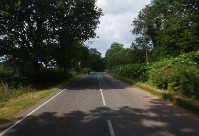
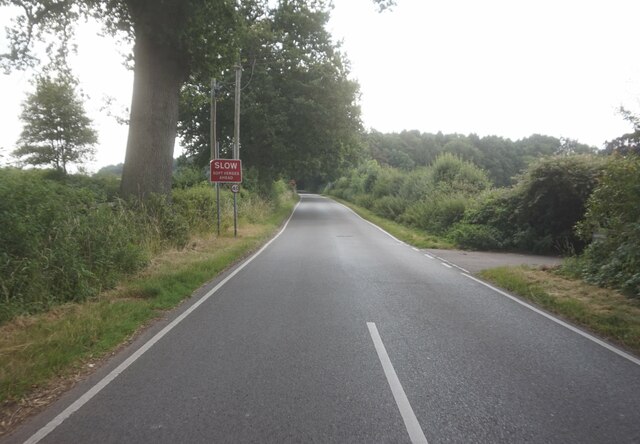
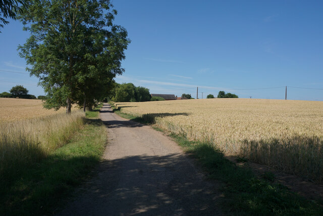
Range Plantation is a picturesque woodland area located in Warwickshire, England. Covering a vast expanse of approximately 500 acres, this plantation is known for its diverse range of trees and abundance of wildlife. The woodland is primarily composed of native English oak trees, but also features other species such as beech, ash, and birch.

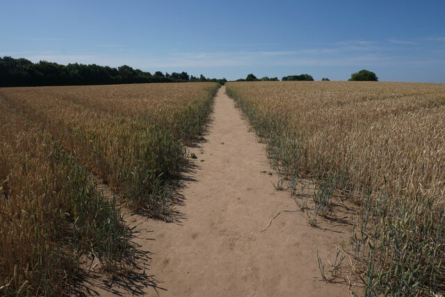
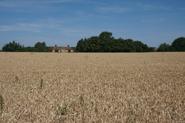
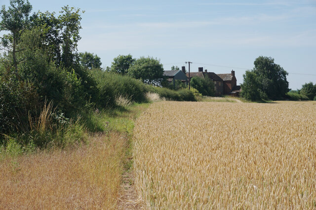
The plantation is popular among nature enthusiasts and hikers due to its well-maintained footpaths that meander through the woodland, offering breathtaking views of the surrounding countryside. These paths provide an opportunity to explore the area and discover its hidden treasures, including a variety of wildflowers and plants that flourish beneath the dense canopy.

Wildlife thrives in Range Plantation, with numerous species of birds, mammals, and insects making it their home. Birdwatchers can spot an array of feathered friends, including woodpeckers, nuthatches, and owls. Squirrels, foxes, and deer are often seen darting through the undergrowth, adding to the enchanting atmosphere of the woodland.

The plantation is managed by Warwickshire County Council, who strive to preserve its natural beauty and protect its delicate ecosystem. They regularly carry out conservation efforts, such as tree planting and habitat restoration, to ensure the longevity of the woodland and its inhabitants.

Range Plantation offers a tranquil retreat from the hustle and bustle of city life, providing visitors with a chance to immerse themselves in the beauty of nature. It is a perfect destination for those seeking a peaceful walk, wildlife spotting, or simply a place to appreciate the wonders of the natural world.

If you have any feedback on the listing, please let us know in the comments section below.

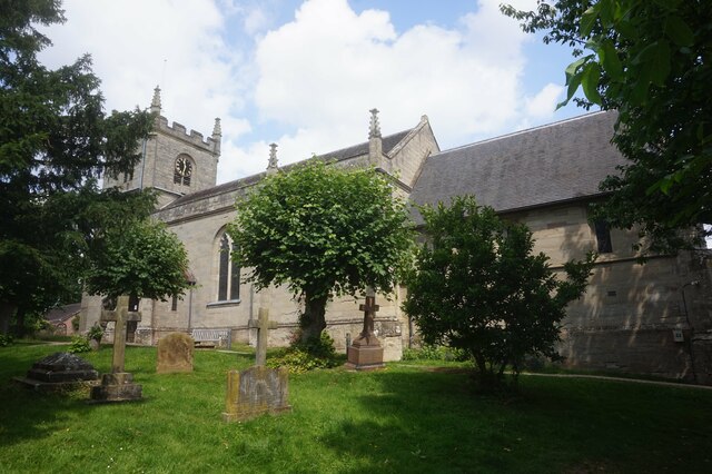
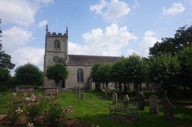
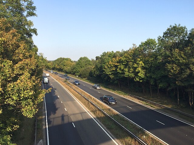
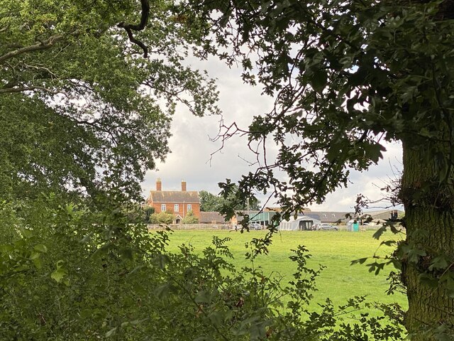
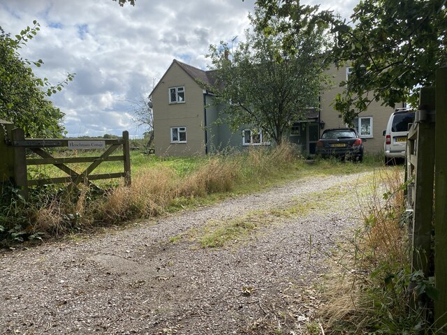
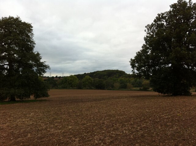
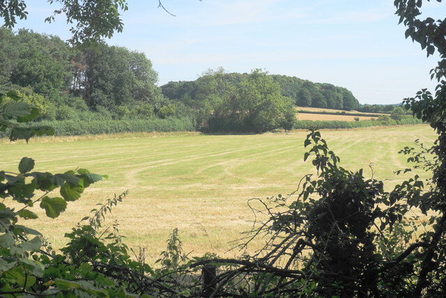
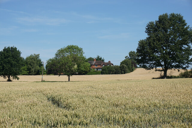
Range Plantation Images

Images are sourced within 2km of 52.31026/-1.6042636 or Grid Reference SP2768. Thanks to Geograph Open Source API. All images are credited.

Rouncil Lane towards Woodcote Lane
Woodcote Lane towards Leek Wotton
Quarry Close, Leek Wotton
Church Lane, Leek Wotton
All Saints Church, Leek Wotton
All Saints Church, Leek Wootton
A46 near Loes Farm, Guy's Cliffe, Warwick This view is the nearest possible re-creation of the first photo submitted for the grid square SP2867, by David Stowell in 2005 <a href="https://www.geograph.org.uk/photo/6169">SP2867 : Loes Farm</a>. His viewpoint is now inaccessible and the trees have grown up, obscuring the view of the farmhouse.
A46 near Loes Farm, Guy's Cliffe, Warwick
This view is the nearest possible re-creation of the first photo submitted for the grid square SP2867, by David Stowell in 2005 SP2867 : Loes Farm. His viewpoint is now inaccessible and the trees have grown up, obscuring the view of the farmhouse.
Roundshill Farm View across fields to Roundshill Farm.
Roundshill Farm
View across fields to Roundshill Farm.
Henchman’s Cottage
Henchman’s Cottage
Wood on Blacklow Hill, seen from Old Milverton Blacklow Hill was the site of execution of Piers Gaveston, favourite of Edward II, in 1312, and a monument erected in the 19th century is situated in the wood; see the Historic England site here <span class="nowrap"><a title="https://historicengland.org.uk/listing/the-list/list-entry/1364935" rel="nofollow ugc noopener" href="https://historicengland.org.uk/listing/the-list/list-entry/1364935">Link</a><img style="margin-left:2px;" alt="External link" title="External link - shift click to open in new window" src="https://s1.geograph.org.uk/img/external.png" width="10" height="10"/></span> . The A46 Warwick bypass road, not visible in this photo, cuts into the eastern side of the hill.
Wood on Blacklow Hill, seen from Old Milverton
Blacklow Hill was the site of execution of Piers Gaveston, favourite of Edward II, in 1312, and a monument erected in the 19th century is situated in the wood; see the Historic England site here LinkExternal link . The A46 Warwick bypass road, not visible in this photo, cuts into the eastern side of the hill.
Silage field by the A46 Seen through an infrequent gap in the foliage on Woodloes Lane.
Silage field by the A46
Seen through an infrequent gap in the foliage on Woodloes Lane.
Wheat field near Woodloes Farm In the background is housing near Middle Woodloes.
Wheat field near Woodloes Farm
In the background is housing near Middle Woodloes.
Track to Woodloes Farm The track is also a footpath, used by both the Millennium Way and the Centenary Way long distance paths.
Track to Woodloes Farm
The track is also a footpath, used by both the Millennium Way and the Centenary Way long distance paths.
Footpath near Woodloes Farm The path leads to the north western suburbs of Warwick. The Warwick Bypass runs behind the trees to the left.
Footpath near Woodloes Farm
The path leads to the north western suburbs of Warwick. The Warwick Bypass runs behind the trees to the left.
Wheat field by Woodloes Farm The building in view has been boarded up, though other farm buildings still seem to be in operation here. A former field boundary has disappeared.
Wheat field by Woodloes Farm
The building in view has been boarded up, though other farm buildings still seem to be in operation here. A former field boundary has disappeared.
Footpath near Woodloes Farm This bit of path is called Devon Bey Way, and it is about to join the Centenary Way and Millennium Way long distance paths.
Footpath near Woodloes Farm
This bit of path is called Devon Bey Way, and it is about to join the Centenary Way and Millennium Way long distance paths.
Footpath near Woodloes Farm Part of both the Centenary Way and Millennium Way long distance paths, heading towards Kenilworth.
Footpath near Woodloes Farm
Part of both the Centenary Way and Millennium Way long distance paths, heading towards Kenilworth.
Woodloes Farm Some of the buildings are boarded up and falling into disrepair.
Woodloes Farm
Some of the buildings are boarded up and falling into disrepair.
Show me another place!

Range Plantation is located at Grid Ref: SP2768 (Lat: 52.31026, Lng: -1.6042636)

Administrative County: Warwickshire

District: Warwick

Police Authority: Warwickshire

What 3 Words

///apron.airbase.frozen. Near Leek Wootton, Warwickshire

Related Wikis

Leek Wootton and Guy's Cliffe

Leek Wootton & Guy's Cliffe is a civil parish in the Warwick District of Warwickshire, England. It was created when the smallest parish in England, Guy...

Warwick and Leamington (UK Parliament constituency)

Warwick and Leamington is a constituency represented in the House of Commons of the UK Parliament since the 2017 general election by Matt Western, of the...

Warwick Rural District

Warwick Rural District was a rural district of Warwickshire, England. It was created in 1894, and covered an area around, but not including, Warwick. It...

Leek Wootton

Leek Wootton is a village and former civil parish, now in the parish of Leek Wootton and Guy's Cliffe, in the Warwick district, in the county of Warwickshire...

Warwick International School of Riding

The Warwick International School of Riding is a school of equitation (horsemanship), located just north of Warwick, Warwickshire, England. The school caters...

Central Hospital, Hatton

Central Hospital was a psychiatric hospital located in Hatton, Warwickshire, England. == History == Building began in 1846 on a 42-acre (17 ha) site purchased...
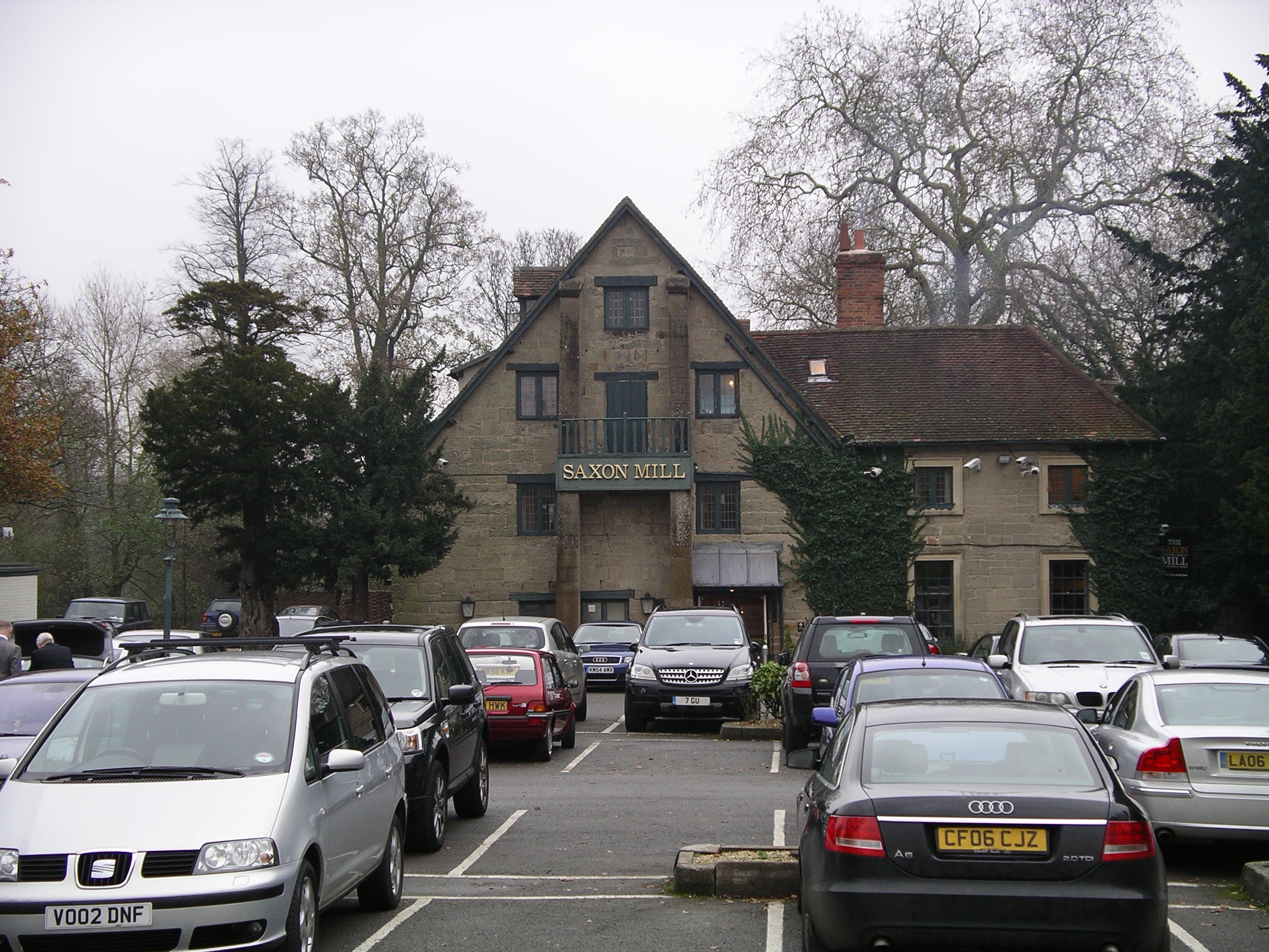
Saxon Mill

The Saxon Mill is a former mill at Guy's Cliffe, Warwickshire, England, situated about one mile northeast of the town of Warwick. It is now a restaurant...

St Michael's Hospital, Warwick

St Michael's Hospital is a National Health Service psychiatric hospital situated in Warwick, Warwickshire, England run by Coventry and Warwickshire Partnership...

Have you been to Range Plantation?

Leave your review of Range Plantation below (or comments, questions and feedback).