Ash Plantation

Wood, Forest in Warwickshire Warwick

England

Ash Plantation

Centenary Way towards Kenilworth Viewed during a heatwave and the vegetation is showing some signs. It is entirely flat until you get to Kenilworth. A yellowhammer settled on the path just along this stretch but I wasn't quick enough with my camera.
Centenary Way towards Kenilworth Credit: Bill Boaden

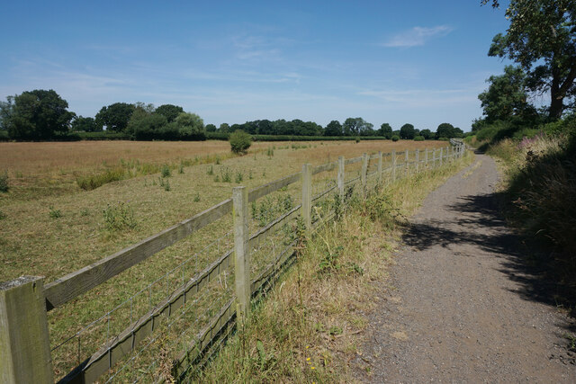
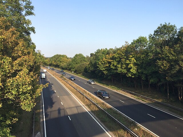
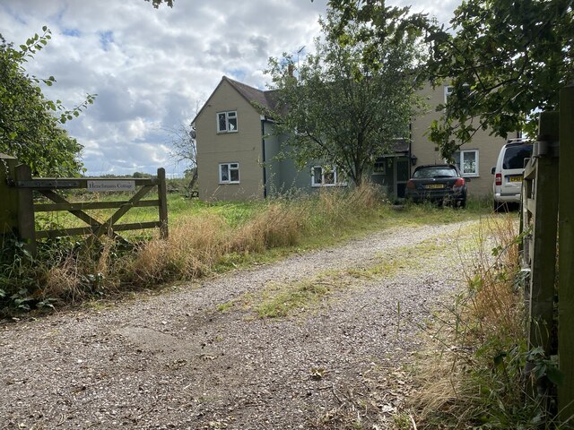
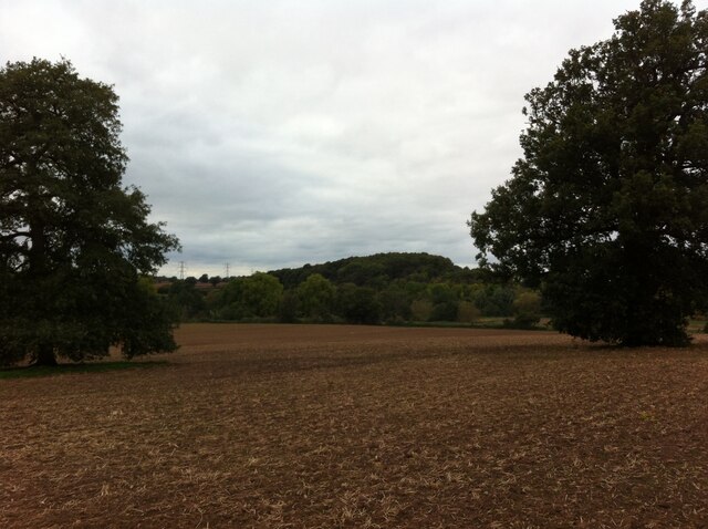
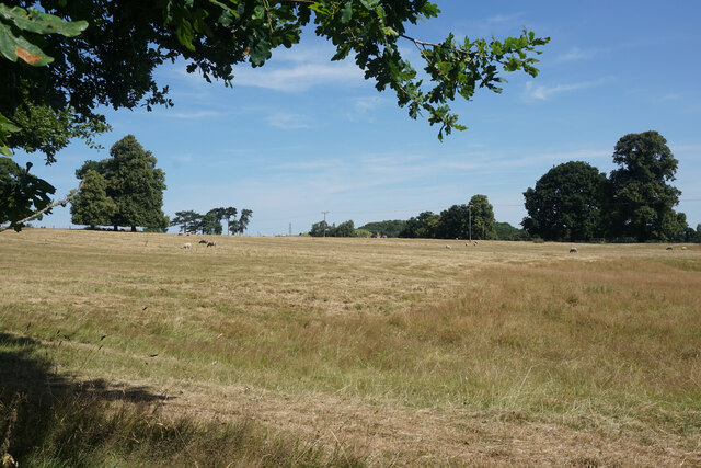
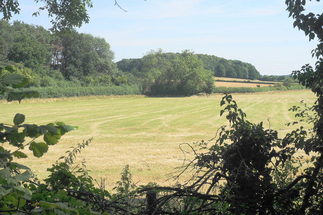
Ash Plantation is a picturesque woodland located in Warwickshire, England. Covering an area of approximately 50 acres, it is a well-known and popular destination for nature enthusiasts and outdoor lovers. The plantation is primarily composed of ash trees, hence its name, but also features a diverse range of other flora and fauna.

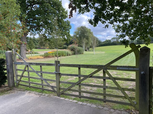
The woodland is characterized by its peaceful and tranquil atmosphere, making it an ideal spot for walking, hiking, and birdwatching. Visitors can explore the numerous well-maintained trails that wind through the plantation, offering opportunities to immerse oneself in the beauty of nature. The paths are suitable for all ages and fitness levels, making it a great destination for families and individuals alike.

Ash Plantation is home to a variety of wildlife, including birds, mammals, and insects. Bird species such as woodpeckers, thrushes, and owls can often be spotted throughout the woodland, while rabbits, squirrels, and deer are also frequently seen. The plantation is particularly famous for its vibrant display of bluebells during springtime, creating a stunning carpet of purple and blue hues.

The woodland is managed and maintained by local conservation organizations, ensuring its long-term sustainability and preservation. Various educational programs and guided walks are offered to visitors, providing them with an opportunity to learn about the ecological importance of woodlands and the importance of conservation.

Overall, Ash Plantation is a natural haven in Warwickshire, offering a peaceful retreat and the opportunity to connect with nature and appreciate the beauty of the English countryside.

If you have any feedback on the listing, please let us know in the comments section below.

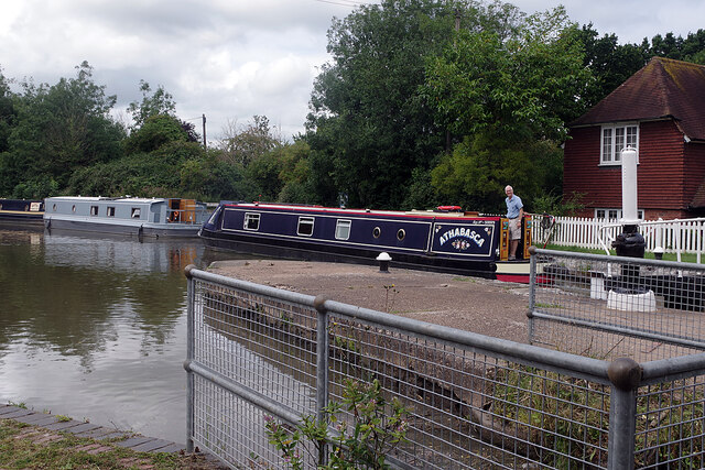
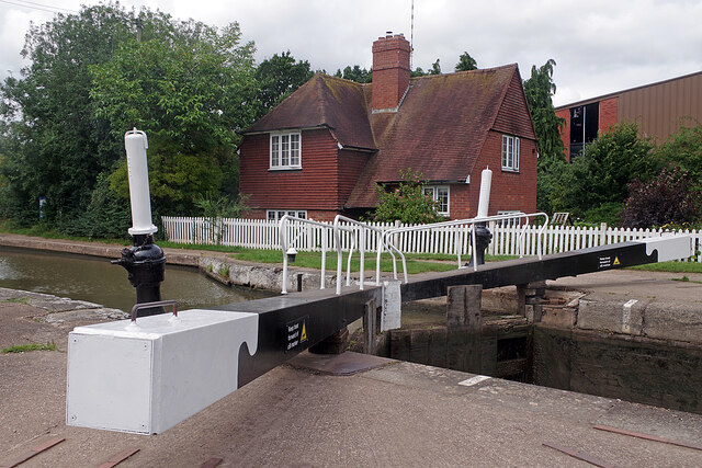
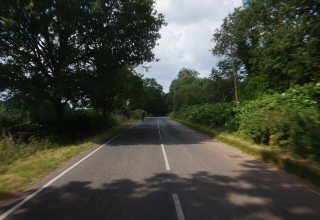
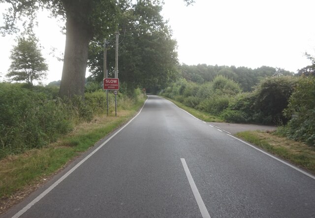
Ash Plantation Images

Images are sourced within 2km of 52.309963/-1.5988245 or Grid Reference SP2768. Thanks to Geograph Open Source API. All images are credited.

Centenary Way towards Kenilworth Viewed during a heatwave and the vegetation is showing some signs. It is entirely flat until you get to Kenilworth. A yellowhammer settled on the path just along this stretch but I wasn't quick enough with my camera.
Centenary Way towards Kenilworth
Viewed during a heatwave and the vegetation is showing some signs. It is entirely flat until you get to Kenilworth. A yellowhammer settled on the path just along this stretch but I wasn't quick enough with my camera.
The Cape of Good Hope, Warwick How this early 19th century canalside pub got its distinctive name seems to be shrouded in mystery but the local area is called the Cape after it. Its owners describe it as 'Warwick's best kept secret' and while it's a very prominent canal landmark it is less easy to find by road. The beer garden overlooking one of the Cape Locks is a delight on a warm day.
The Cape of Good Hope, Warwick
How this early 19th century canalside pub got its distinctive name seems to be shrouded in mystery but the local area is called the Cape after it. Its owners describe it as 'Warwick's best kept secret' and while it's a very prominent canal landmark it is less easy to find by road. The beer garden overlooking one of the Cape Locks is a delight on a warm day.
Cape Top Lock, Grand Union Canal Unusually, the top gate of this lock has two handrails. This is to allow an easy crossing from the towpath to the Cape of Good Hope pub on the opposite bank. Narrowboat 'Dreamer' is moored outside.
Cape Top Lock, Grand Union Canal
Unusually, the top gate of this lock has two handrails. This is to allow an easy crossing from the towpath to the Cape of Good Hope pub on the opposite bank. Narrowboat 'Dreamer' is moored outside.
Get Knotted Operating from this tiny building adjacent to the Cape of Good Hope pub, Get Knotted's principal business is to supply traditional rope fenders for narrowboats. They can also supply ropes for other requirements including bespoke banister ropes. See <a href="https://www.geograph.org.uk/photo/6934092">SP2766 : Cape Top Lock, Grand Union Canal</a> for a wider view showing the building.
Get Knotted
Operating from this tiny building adjacent to the Cape of Good Hope pub, Get Knotted's principal business is to supply traditional rope fenders for narrowboats. They can also supply ropes for other requirements including bespoke banister ropes. See SP2766 : Cape Top Lock, Grand Union Canal for a wider view showing the building.
'Athabasca' on the Grand Union Canal Narrowboat 'Athabasca' emerges from the top of the two Cape Locks, passing a widebeam moored by the towpath.
'Athabasca' on the Grand Union Canal
Narrowboat 'Athabasca' emerges from the top of the two Cape Locks, passing a widebeam moored by the towpath.
Cape Top Lock, Grand Union Canal This is the uppermost of the two Cape Locks in the outskirts of Warwick. Not that the gates have two handrails to ease access between the towpath and the Cape of Good Hope pub. The house behind is of a style adopted by the company when the canal was upgraded in the 1930s.
Cape Top Lock, Grand Union Canal
This is the uppermost of the two Cape Locks in the outskirts of Warwick. Not that the gates have two handrails to ease access between the towpath and the Cape of Good Hope pub. The house behind is of a style adopted by the company when the canal was upgraded in the 1930s.
Rouncil Lane towards Woodcote Lane
Woodcote Lane towards Leek Wotton
Quarry Close, Leek Wotton
Church Lane, Leek Wotton
All Saints Church, Leek Wotton
All Saints Church, Leek Wootton
A46 near Loes Farm, Guy's Cliffe, Warwick This view is the nearest possible re-creation of the first photo submitted for the grid square SP2867, by David Stowell in 2005 <a href="https://www.geograph.org.uk/photo/6169">SP2867 : Loes Farm</a>. His viewpoint is now inaccessible and the trees have grown up, obscuring the view of the farmhouse.
A46 near Loes Farm, Guy's Cliffe, Warwick
This view is the nearest possible re-creation of the first photo submitted for the grid square SP2867, by David Stowell in 2005 SP2867 : Loes Farm. His viewpoint is now inaccessible and the trees have grown up, obscuring the view of the farmhouse.
Henchman’s Cottage
Henchman’s Cottage
Gateway to Little Woodcote estate
Wood on Blacklow Hill, seen from Old Milverton Blacklow Hill was the site of execution of Piers Gaveston, favourite of Edward II, in 1312, and a monument erected in the 19th century is situated in the wood; see the Historic England site here <span class="nowrap"><a title="https://historicengland.org.uk/listing/the-list/list-entry/1364935" rel="nofollow ugc noopener" href="https://historicengland.org.uk/listing/the-list/list-entry/1364935">Link</a><img style="margin-left:2px;" alt="External link" title="External link - shift click to open in new window" src="https://s1.geograph.org.uk/img/external.png" width="10" height="10"/></span> . The A46 Warwick bypass road, not visible in this photo, cuts into the eastern side of the hill.
Wood on Blacklow Hill, seen from Old Milverton
Blacklow Hill was the site of execution of Piers Gaveston, favourite of Edward II, in 1312, and a monument erected in the 19th century is situated in the wood; see the Historic England site here LinkExternal link . The A46 Warwick bypass road, not visible in this photo, cuts into the eastern side of the hill.
Grazing land by Woodloes Lane This is now the northern edge of the Warwick conurbation.
Grazing land by Woodloes Lane
This is now the northern edge of the Warwick conurbation.
Silage field by the A46 Seen through an infrequent gap in the foliage on Woodloes Lane.
Silage field by the A46
Seen through an infrequent gap in the foliage on Woodloes Lane.
Show me another place!

Ash Plantation is located at Grid Ref: SP2768 (Lat: 52.309963, Lng: -1.5988245)

Administrative County: Warwickshire

District: Warwick

Police Authority: Warwickshire

What 3 Words

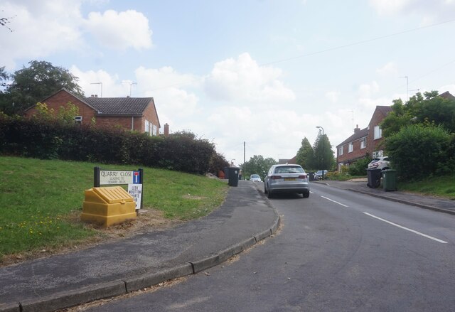
///puppy.tissue.vets. Near Leek Wootton, Warwickshire

Related Wikis

Leek Wootton and Guy's Cliffe

Leek Wootton & Guy's Cliffe is a civil parish in the Warwick District of Warwickshire, England. It was created when the smallest parish in England, Guy...

Warwick and Leamington (UK Parliament constituency)

Warwick and Leamington is a constituency represented in the House of Commons of the UK Parliament since the 2017 general election by Matt Western, of the...

Warwick Rural District

Warwick Rural District was a rural district of Warwickshire, England. It was created in 1894, and covered an area around, but not including, Warwick. It...
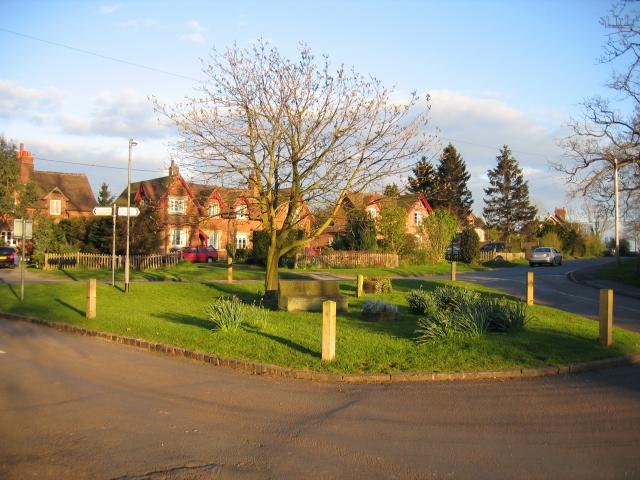
Leek Wootton

Leek Wootton is a village and former civil parish, now in the parish of Leek Wootton and Guy's Cliffe, in the Warwick district, in the county of Warwickshire...

Warwick International School of Riding

The Warwick International School of Riding is a school of equitation (horsemanship), located just north of Warwick, Warwickshire, England. The school caters...
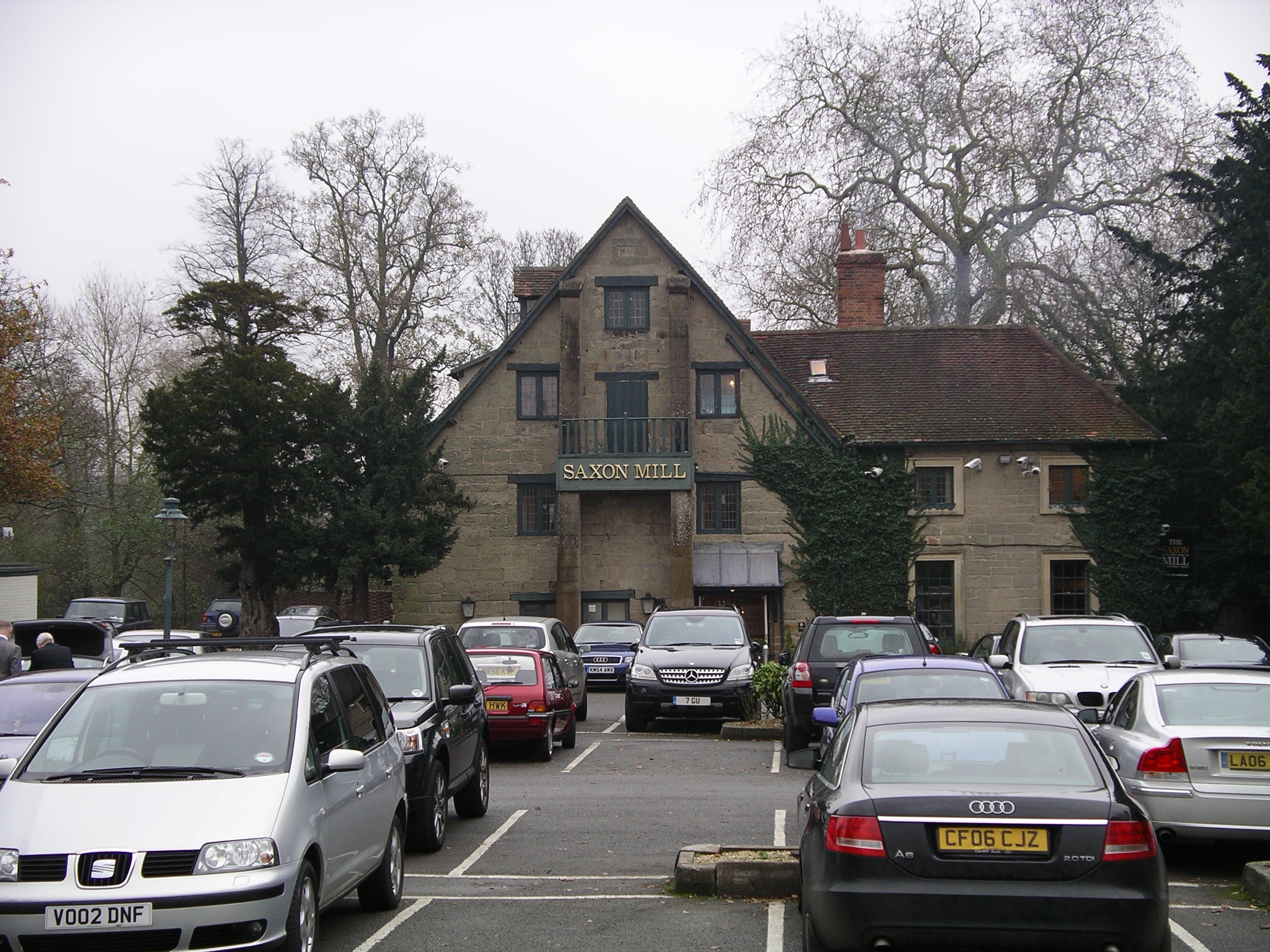
Saxon Mill

The Saxon Mill is a former mill at Guy's Cliffe, Warwickshire, England, situated about one mile northeast of the town of Warwick. It is now a restaurant...

Guy's Cliffe

Guy's Cliffe (variously spelled with and without an apostrophe and a final "e") is a hamlet and former civil parish on the River Avon and the Coventry...

Old Milverton

Old Milverton is a hamlet east of Warwick and north west of Leamington Spa in Warwickshire, England, and situated in a bend of the River Avon. The population...

Nearby Amenities

Located within 500m of 52.309963,-1.5988245
Barrier: kissing_gate
Source: survey
Lat/Long: 52.3126082/-1.5962375
Brand: National Grid
Brand Wikidata: Q1465461
Material: metal
Operator: National Grid Electricity Distribution
Operator Old: Western Power Distribution
Operator Wikidata: Q7988183
Owner: National Grid Electricity Distribution (East Midlands) Plc
Owner Wikidata: Q114348127
Power: tower
Lat/Long: 52.3132992/-1.5983008
Brand: National Grid
Brand Wikidata: Q1465461
Material: metal
Operator: National Grid Electricity Distribution
Operator Old: Western Power Distribution
Operator Wikidata: Q7988183
Owner: National Grid Electricity Distribution (East Midlands) Plc
Owner Wikidata: Q114348127
Power: tower
Source: survey
Lat/Long: 52.3117954/-1.5958736
Brand: National Grid
Brand Wikidata: Q1465461
Material: metal
Operator: National Grid Electricity Distribution
Operator Old: Western Power Distribution
Operator Wikidata: Q7988183
Owner: National Grid Electricity Distribution (East Midlands) Plc
Owner Wikidata: Q114348127
Power: tower
Source: survey
Lat/Long: 52.3089461/-1.5960833
Bench
Source: survey
Lat/Long: 52.3088384/-1.5962625
Brand: National Grid
Brand Wikidata: Q1465461
Material: metal
Operator: National Grid Electricity Distribution
Operator Old: Western Power Distribution
Operator Wikidata: Q7988183
Owner: National Grid Electricity Distribution (East Midlands) Plc
Owner Wikidata: Q114348127
Power: tower
Ref: CX32
Source: survey
Lat/Long: 52.3059835/-1.5963917
The data included in this document is from www.openstreetmap.org. The data is made available under ODbL.

Have you been to Ash Plantation?

Leave your review of Ash Plantation below (or comments, questions and feedback).