Raynor Clough Wood
Wood, Forest in Yorkshire
England
Raynor Clough Wood
Raynor Clough Wood is a picturesque woodland located in the county of Yorkshire, England. Situated near the village of Raynor Clough, this woodland area is renowned for its natural beauty and rich biodiversity. Covering an area of approximately 50 acres, Raynor Clough Wood is a haven for nature enthusiasts and wildlife lovers.
The wood is characterized by an enchanting mix of deciduous and coniferous trees, including oak, beech, pine, and birch, creating a diverse and vibrant landscape. The forest floor is adorned with a carpet of wildflowers, adding splashes of color throughout the seasons.
Raynor Clough Wood is home to a wealth of wildlife, providing a sanctuary for numerous species. Birdwatchers can spot a variety of birds, including woodpeckers, owls, and warblers, as well as rare migratory species during certain times of the year. The wood is also inhabited by mammals such as foxes, badgers, and squirrels, while the nearby river attracts otters and kingfishers.
The wood offers a network of well-maintained walking trails, allowing visitors to explore its natural wonders at their own pace. These paths wind through the trees, offering glimpses of tranquil meadows and babbling brooks along the way. The wood is a popular destination for nature walks, picnics, and photography, providing a serene escape from the hustle and bustle of everyday life.
Raynor Clough Wood is a truly enchanting woodland, offering visitors a chance to immerse themselves in the beauty of nature. Whether it's discovering the diverse flora and fauna or simply enjoying a peaceful stroll, this woodland is a must-visit location for anyone seeking solace in the great outdoors.
If you have any feedback on the listing, please let us know in the comments section below.
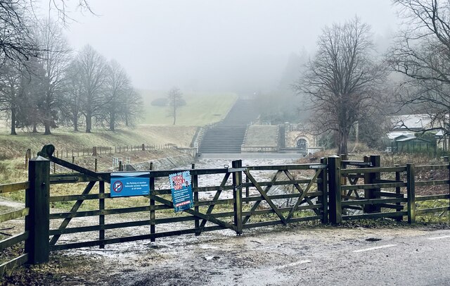
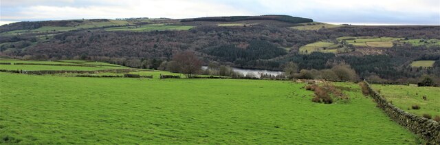
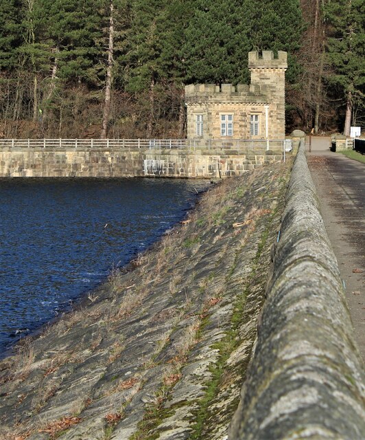
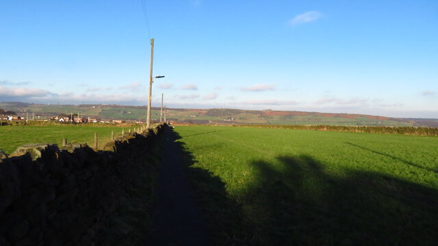
Raynor Clough Wood Images
Images are sourced within 2km of 53.454547/-1.5881262 or Grid Reference SK2795. Thanks to Geograph Open Source API. All images are credited.


Raynor Clough Wood is located at Grid Ref: SK2795 (Lat: 53.454547, Lng: -1.5881262)
Division: West Riding
Unitary Authority: Sheffield
Police Authority: South Yorkshire
What 3 Words
///beside.gave.grace. Near Stocksbridge, South Yorkshire
Nearby Locations
Related Wikis

Ewden Valley
Ewden Valley is a valley in the civil parish of Bradfield in the Stocksbridge and Upper Don electoral ward of Sheffield, South Yorkshire, England.Ewden...

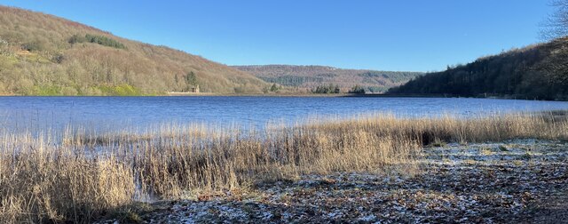
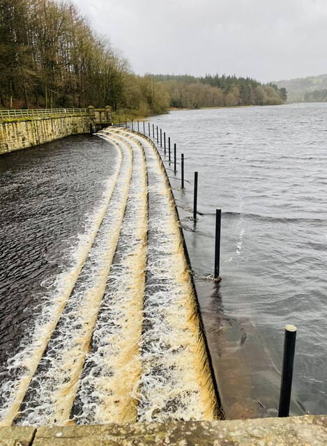
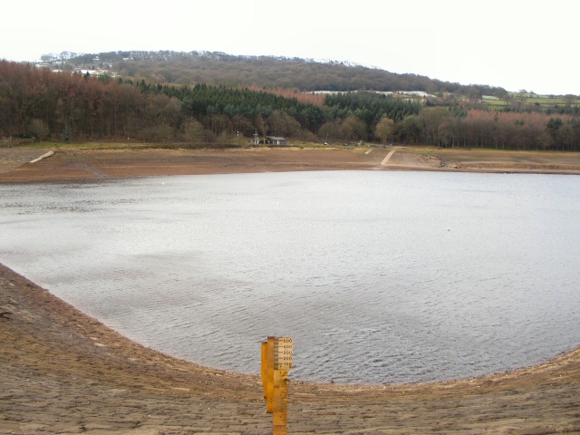
Broomhead Reservoir
Broomhead Reservoir is a reservoir located in the Ewden Valley, near Sheffield in South Yorkshire, England. The reservoir is located to the south of Bolsterstone...
More Hall Reservoir
More Hall Reservoir is a reservoir located in the Ewden valley near Sheffield, South Yorkshire, England. The reservoir is situated to the south of Bolsterstone...

Wortley Rural District
Wortley was a rural district in the West Riding of Yorkshire from 1894 to 1974, situated to the north-west of the county borough of Sheffield. It was abolished...
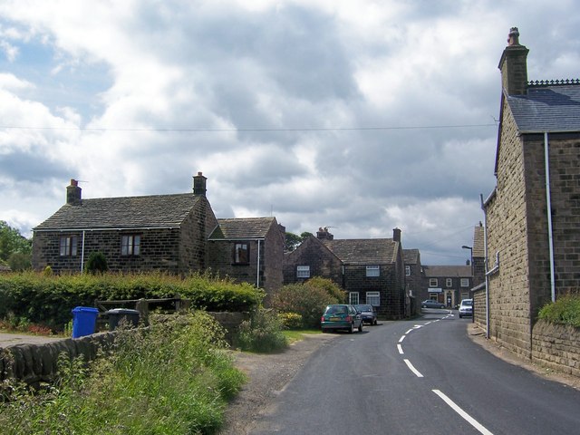
Bolsterstone
Bolsterstone is a village in South Yorkshire, England, south of Stocksbridge, and 8.5 miles to the northwest of the City of Sheffield and within the city...
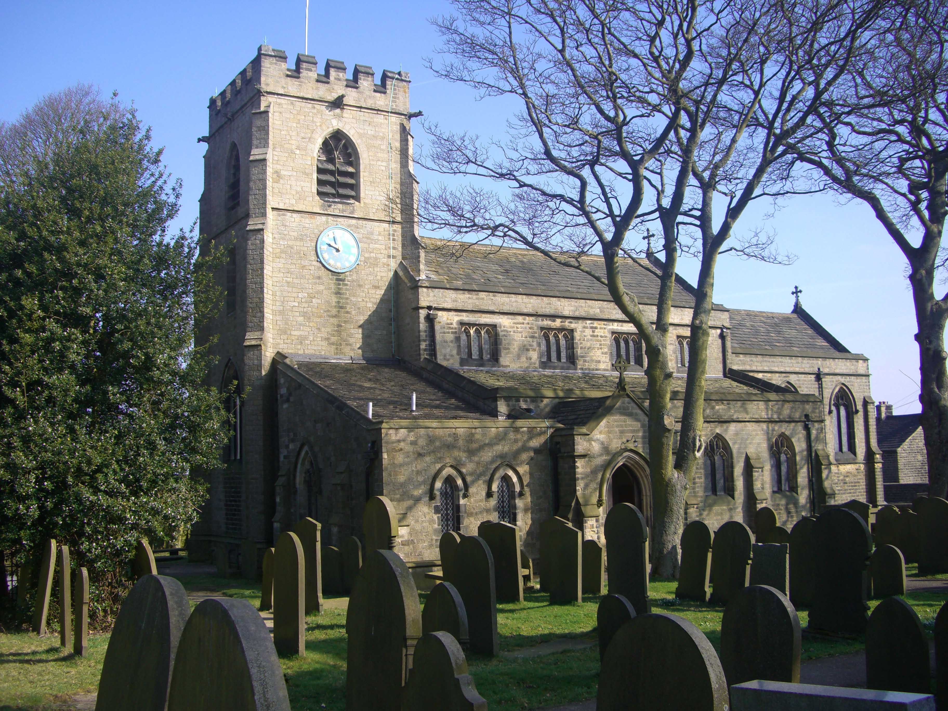
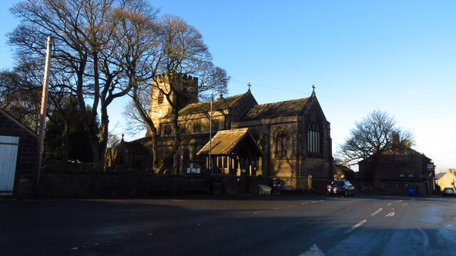
St Mary's Church, Bolsterstone
St Mary's Church, Bolsterstone is situated in the village of Bolsterstone, within the boundary of the City of Sheffield in South Yorkshire, England. The...
Brightholmlee
Brightholmlee is a small rural hamlet situated within the City of Sheffield in England. The hamlet falls within the Stannington Ward of the City. It is...
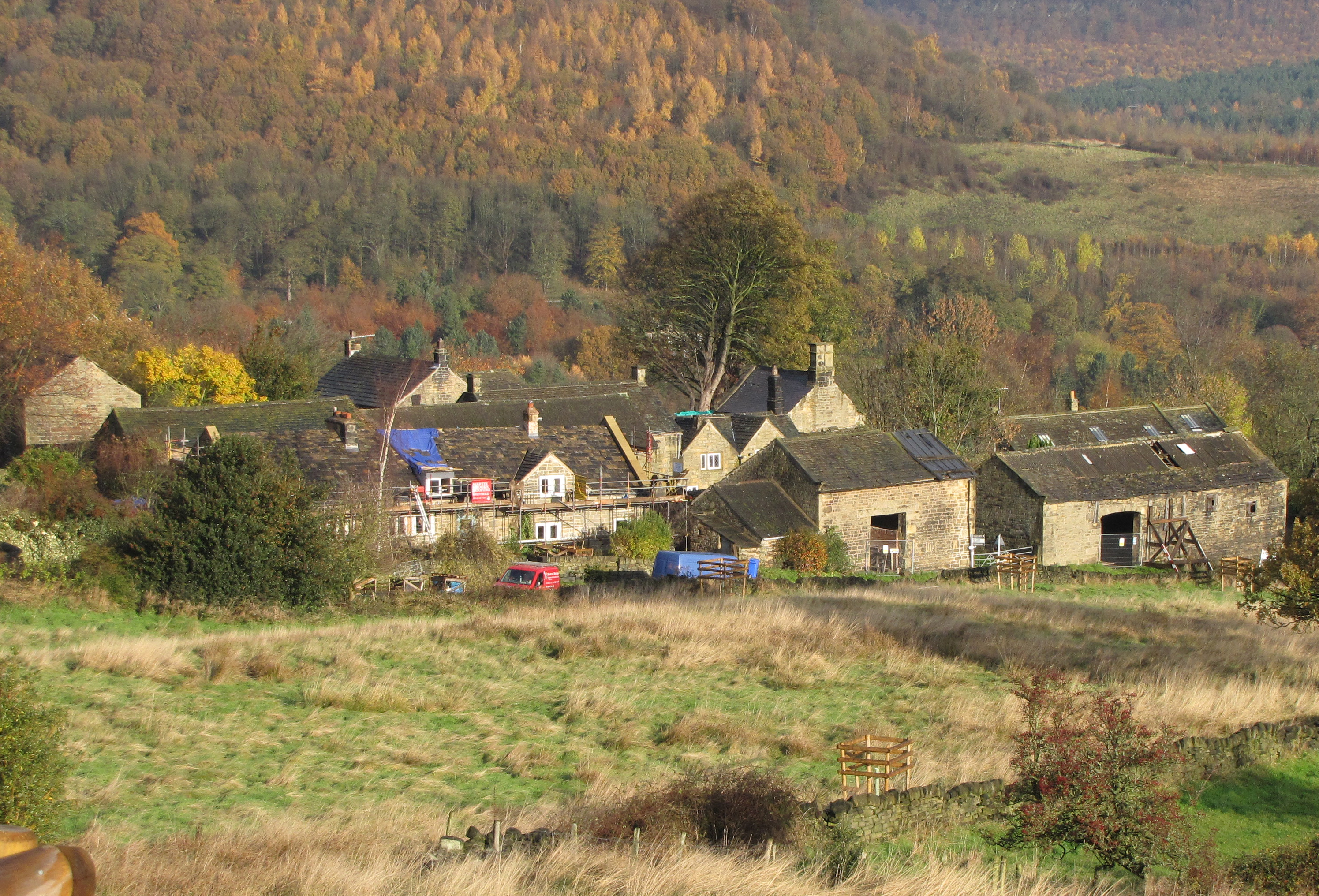
Firth Wood
Firth Wood is a woodland in South Yorkshire, England, near the village of Oughtibridge. It covers a total area of 16.9 acres (6.84 ha). It is owned and...
Nearby Amenities
Located within 500m of 53.454547,-1.5881262Have you been to Raynor Clough Wood?
Leave your review of Raynor Clough Wood below (or comments, questions and feedback).