Oxdown Copse
Wood, Forest in Wiltshire
England
Oxdown Copse

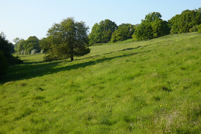
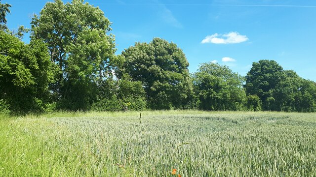
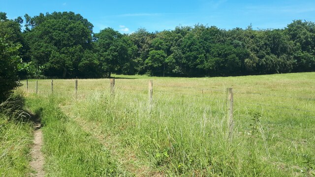
Oxdown Copse is a captivating woodland located in Wiltshire, England. Spanning over an area of approximately 25 acres, this enchanting forest offers a tranquil and picturesque escape for nature lovers and hikers alike. The copse is situated in a rural landscape, surrounded by rolling hills and agricultural fields, creating a serene and idyllic setting.
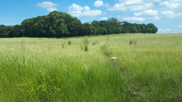
The woodland consists primarily of deciduous trees, with a diverse range of species including oak, beech, and ash. The dense canopy of the trees provides shade and creates a cool and inviting atmosphere, especially during the warm summer months. The forest floor is covered with a lush carpet of ferns, wildflowers, and mosses, adding to the natural beauty of the area.
Oxdown Copse is home to a variety of wildlife, making it a popular spot for birdwatching and nature photography. Visitors may have the opportunity to spot species such as woodpeckers, owls, and various small mammals, including foxes and rabbits. The copse also boasts a small stream that meanders through the woodland, adding to the charm and providing a habitat for aquatic creatures.
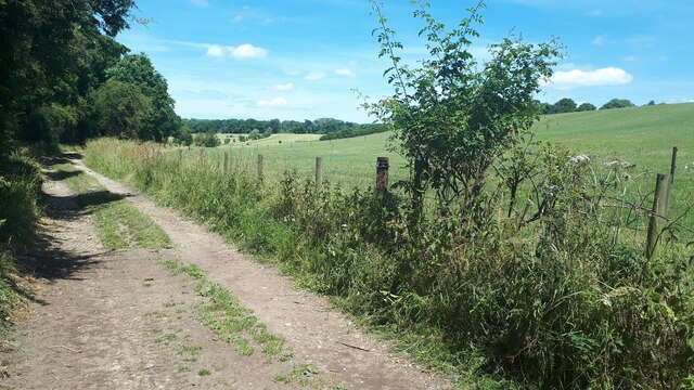
The woodland is crisscrossed by a network of well-maintained footpaths, allowing visitors to explore the copse at their leisure. These trails wind through the forest, offering breathtaking views and opportunities to observe the local flora and fauna up close. Additionally, the copse is equipped with picnic areas and benches, making it an ideal spot for a leisurely outdoor lunch or a peaceful retreat.
Overall, Oxdown Copse is a captivating woodlands that offers a peaceful and rejuvenating experience for nature enthusiasts. Its diverse range of wildlife, scenic trails, and serene atmosphere make it a must-visit destination for those seeking solace in the beauty of nature.
If you have any feedback on the listing, please let us know in the comments section below.
Oxdown Copse Images
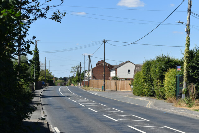
Images are sourced within 2km of 51.268225/-1.6079839 or Grid Reference SU2752. Thanks to Geograph Open Source API. All images are credited.


Oxdown Copse is located at Grid Ref: SU2752 (Lat: 51.268225, Lng: -1.6079839)
Unitary Authority: Wiltshire
Police Authority: Wiltshire
What 3 Words
///verbs.community.beard. Near Ludgershall, Wiltshire
Nearby Locations
Related Wikis

Ludgershall Castle
Ludgershall Castle is a ruined 12th-century fortified royal residence at Ludgershall in Wiltshire, England. Three large walls still remain of the castle...
Ludgershall, Wiltshire
Ludgershall ( LUG-ər-shawl, with a hard g) is a town and civil parish 16 miles (26 km) north east of Salisbury, Wiltshire, England. It is on the A342 road...

Perriam Down
Perriam Down or Perriam Downs, near Ludgershall, Wiltshire, England was a venue for five first-class cricket matches and at least three other matches between...
Faberstown
Faberstown is a settlement in the civil parish of Ludgershall, Wiltshire, England. Its nearest town is Andover, approximately 6 miles (9.7 km) to the...

Ludgershall railway station, Wiltshire
Ludgershall railway station was a railway station which served the town of Ludgershall in Wiltshire, England from 1882 to 1961. == History == The station...

Biddesden House
Biddesden House (or Biddesden Park) is a Grade I listed English country house in east Wiltshire, about 5 miles (8 km) north-west of Andover, Hampshire...

Chute, Wiltshire
Chute is a civil parish in east Wiltshire, England, on the border with Hampshire. It includes the main village of Upper Chute and the smaller settlements...
Collingbourne railway station
Collingbourne railway station served the village of Collingbourne Ducis in Wiltshire, England. It was on the Midland and South Western Junction Railway...
Nearby Amenities
Located within 500m of 51.268225,-1.6079839Have you been to Oxdown Copse?
Leave your review of Oxdown Copse below (or comments, questions and feedback).