Sawpit Copse

Wood, Forest in Wiltshire

England

Sawpit Copse

Farmland, Collingbourne Ducis A bridleway heading along the westernmost extremity of Collinbourne Wood approaches a field of cattle.
Farmland, Collingbourne Ducis Credit: Andrew Smith

The requested URL returned error: 429 Too Many Requests

If you have any feedback on the listing, please let us know in the comments section below.
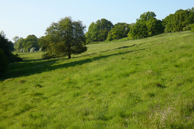
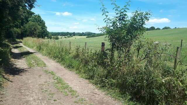
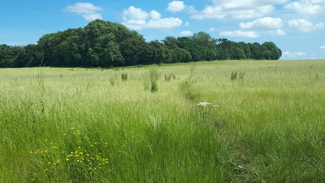
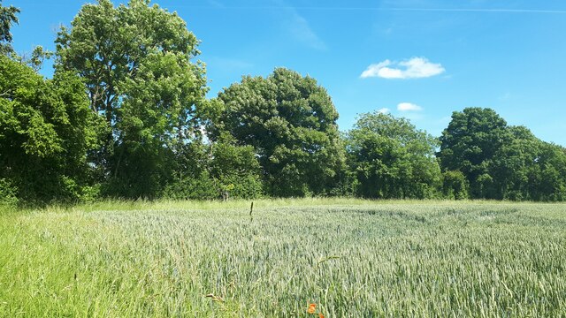
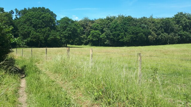
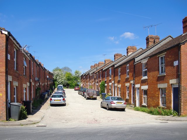
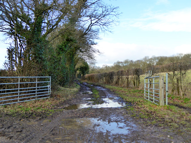
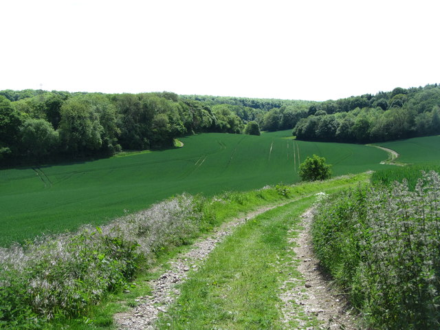
Sawpit Copse Images

Images are sourced within 2km of 51.270352/-1.6038805 or Grid Reference SU2752. Thanks to Geograph Open Source API. All images are credited.

Farmland, Collingbourne Ducis A bridleway heading along the westernmost extremity of Collinbourne Wood approaches a field of cattle.
Farmland, Collingbourne Ducis
A bridleway heading along the westernmost extremity of Collinbourne Wood approaches a field of cattle.
Grassland, Chute The eastern flank of Shaw Bottom.
Grassland, Chute
The eastern flank of Shaw Bottom.
Bulls Drove
Bulls Drove
Field on the edge of Coldrigdedown Copse
Trees and housing beside Wood Park
Field edge path towards Oxdown Copse
Field east of Crawlboys Road
Line of trees leading to Stert Copse A thin line of trees dividing the fields and providing a corridor between two copses.
Line of trees leading to Stert Copse
A thin line of trees dividing the fields and providing a corridor between two copses.
Edge of Fairoak Copse Taken just as the footpath emerges from the woodland and continues southwards along the edge of the field.
Edge of Fairoak Copse
Taken just as the footpath emerges from the woodland and continues southwards along the edge of the field.
Grass and woodland at Coldridge Bottom
Bell Street, Ludgershall I am not the first member of the Geograph community to notice this street - and I think I know why.  It is situated about half a mile east of the town centre, and most of the housing stock along that stretch of the A342 looks more recent - either post-1950 or drastically modernised.

I wonder whether Bell Street was built by some industrial employer.  For instance, the Midland & South Western Junction Railway ran close by, and had a depot in Ludgershall.
Bell Street, Ludgershall
I am not the first member of the Geograph community to notice this street - and I think I know why. It is situated about half a mile east of the town centre, and most of the housing stock along that stretch of the A342 looks more recent - either post-1950 or drastically modernised. I wonder whether Bell Street was built by some industrial employer. For instance, the Midland & South Western Junction Railway ran close by, and had a depot in Ludgershall.
Remains of earthworks at Ludgershall Castle
The Queens Head, Ludgershall
Flint and brick houses at Ludgershall
High Street, Ludgershall
Bulls Drove A public bridleway giving access to an extensive network of public tracks and paths rather remote from surfaced roads.
Bulls Drove
A public bridleway giving access to an extensive network of public tracks and paths rather remote from surfaced roads.
Gate and tree A field north of Biddesden Lane.
Gate and tree
A field north of Biddesden Lane.
Track to Shaw Bottom The track descends into a typical downland dry valley, now completely deserted. At the bottom, in the gap between the woodland once stood Shaw Farm, now long since disappeared. My long lost great aunt - Eleanor Susan Hatton was employed here as a servant aged 14 in 1891. She must have walked this track many times.
Track to Shaw Bottom
The track descends into a typical downland dry valley, now completely deserted. At the bottom, in the gap between the woodland once stood Shaw Farm, now long since disappeared. My long lost great aunt - Eleanor Susan Hatton was employed here as a servant aged 14 in 1891. She must have walked this track many times.
Show me another place!

Sawpit Copse is located at Grid Ref: SU2752 (Lat: 51.270352, Lng: -1.6038805)

Unitary Authority: Wiltshire

Police Authority: Wiltshire

What 3 Words

///jumpy.demanding.dynamics. Near Ludgershall, Wiltshire

Related Wikis

Ludgershall Castle

Ludgershall Castle is a ruined 12th-century fortified royal residence at Ludgershall in Wiltshire, England. Three large walls still remain of the castle...

Faberstown

Faberstown is a settlement in the civil parish of Ludgershall, Wiltshire, England. Its nearest town is Andover, approximately 6 miles (9.7 km) to the...

Ludgershall, Wiltshire

Ludgershall ( LUG-ər-shawl, with a hard g) is a town and civil parish 16 miles (26 km) north east of Salisbury, Wiltshire, England. It is on the A342 road...

Perriam Down

Perriam Down or Perriam Downs, near Ludgershall, Wiltshire, England was a venue for five first-class cricket matches and at least three other matches between...

Nearby Amenities

Located within 500m of 51.270352,-1.6038805
Wickheath Copse
Place: locality
Lat/Long: 51.270783/-1.6076816
Oxdown Copse
Place: locality
Lat/Long: 51.2681179/-1.6073872
Sawpit Copse
Place: locality
Lat/Long: 51.2701859/-1.6037165
Cowcommon Bottom
Place: locality
Lat/Long: 51.2726004/-1.606561
The data included in this document is from www.openstreetmap.org. The data is made available under ODbL.

Have you been to Sawpit Copse?

Leave your review of Sawpit Copse below (or comments, questions and feedback).