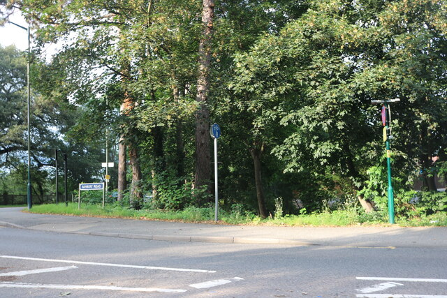
Ashbeds Wood
Wood, Forest in Warwickshire Warwick
England
Ashbeds Wood

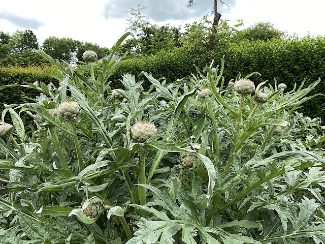
Ashbeds Wood is a picturesque forest located in Warwickshire, England. Covering an area of approximately 50 acres, it is a popular destination for nature lovers and outdoor enthusiasts. The wood is characterized by a diverse range of trees, with a significant presence of ash trees, from which it gets its name.
The woodland is home to a rich variety of flora and fauna, making it an ideal spot for birdwatching and wildlife spotting. Visitors can expect to see species such as woodpeckers, owls, and a diverse range of woodland birds. The forest floor is covered in a thick carpet of bluebells during spring, creating a stunning visual display.
Ashbeds Wood offers a network of well-maintained walking trails, allowing visitors to explore the forest at their own pace. The trails wind through the woods, offering glimpses of tranquil streams and hidden glades along the way. There are also picnic areas dotted throughout the wood, providing the perfect opportunity for a scenic lunch or a peaceful rest.
The forest is particularly popular during the autumn months when the trees transform into a vibrant palette of reds, oranges, and yellows. The surrounding countryside offers breathtaking views, adding to the overall charm of the woodland.
Ashbeds Wood is easily accessible and has ample parking facilities. It is a place where visitors can connect with nature, enjoy peaceful walks, and immerse themselves in the beauty of Warwickshire's countryside.
If you have any feedback on the listing, please let us know in the comments section below.
Ashbeds Wood Images
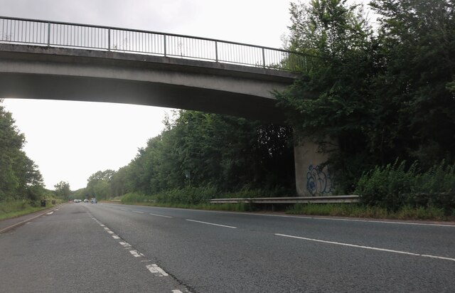
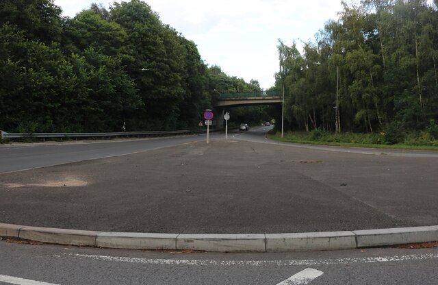
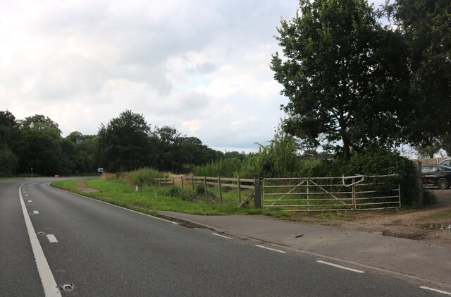
Images are sourced within 2km of 52.266158/-1.5950289 or Grid Reference SP2763. Thanks to Geograph Open Source API. All images are credited.


Ashbeds Wood is located at Grid Ref: SP2763 (Lat: 52.266158, Lng: -1.5950289)
Administrative County: Warwickshire
District: Warwick
Police Authority: Warwickshire
What 3 Words
///purely.crown.cared. Near Warwick, Warwickshire
Nearby Locations
Related Wikis
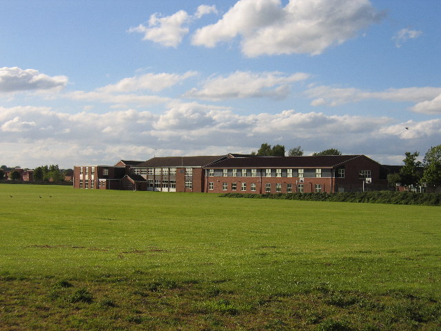
Aylesford School
Aylesford School and Sixth Form College is a coeducational all-through school and sixth form located in Warwick, England. It was constructed on part of...

RAF Warwick
RAF Warwick is a former Royal Air Force relief landing ground located 1.7 miles (2.7 km) south west of Warwick, Warwickshire, England. RAF Warwick was...
Racing Club Warwick F.C.
Racing Club Warwick Football Club is a football club based in Warwick, Warwickshire, and competes in the United Counties League Premier Division South...

St Mary Immaculate Roman Catholic Church, Warwick
St Mary Immaculate is an active Roman Catholic parish church in the town of Warwick, England. It lies to the south west of the town on West Street outside...
Longbridge Interchange
Longbridge Interchange (also known as Longbridge Island) is a major road and motorway junction between Warwick and Sherbourne, Warwickshire, connecting...

Lord Leycester Hospital
The Lord Leycester Hospital (often known simply as the Lord Leycester) is one of the best preserved examples of medieval courtyard architecture in England...
Warwick Racecourse
Warwick Racecourse is a horse racing course in Warwick, England. It is a National Hunt racing course and has a programme of 25 meetings throughout the...

Warwick
Warwick ( WORR-ik) is a market town, civil parish and the county town of Warwickshire in the Warwick District in England, adjacent to the River Avon. It...
Nearby Amenities
Located within 500m of 52.266158,-1.5950289Have you been to Ashbeds Wood?
Leave your review of Ashbeds Wood below (or comments, questions and feedback).