Brook

Settlement in Wiltshire / Hampshire New Forest

England

Brook

The Rufus Stone
The Rufus Stone Credit: Helen Steed

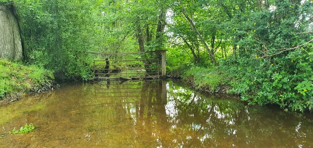
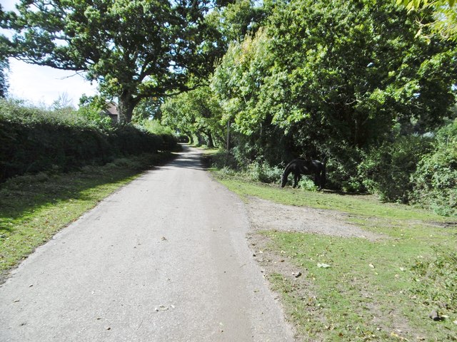
Brook is a small village located on the border of Wiltshire and Hampshire, in the southern part of England. Situated in the Test Valley, it is nestled amidst picturesque countryside and is known for its natural beauty. The village is surrounded by lush green fields, rolling hills, and offers stunning views of the nearby River Dun.

With a population of around 500 residents, Brook retains its rural charm and peaceful atmosphere. The village primarily consists of traditional thatched cottages and historic buildings, adding to its quaint and idyllic character. The local community is tight-knit and friendly, with a strong sense of community spirit.

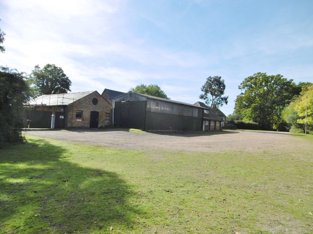
Despite its small size, Brook has a few amenities to cater to residents' needs. There is a village hall where various community events and gatherings take place. For basic amenities, residents have to rely on nearby towns such as Romsey and Stockbridge, which are only a short drive away.

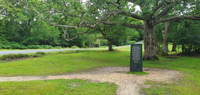
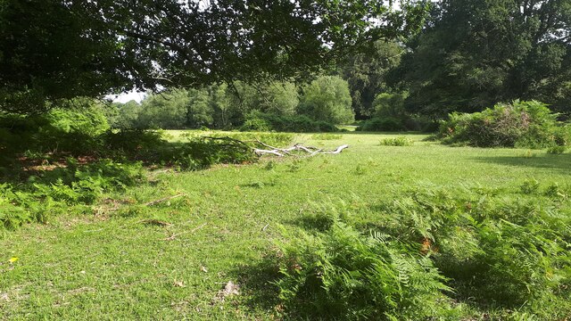
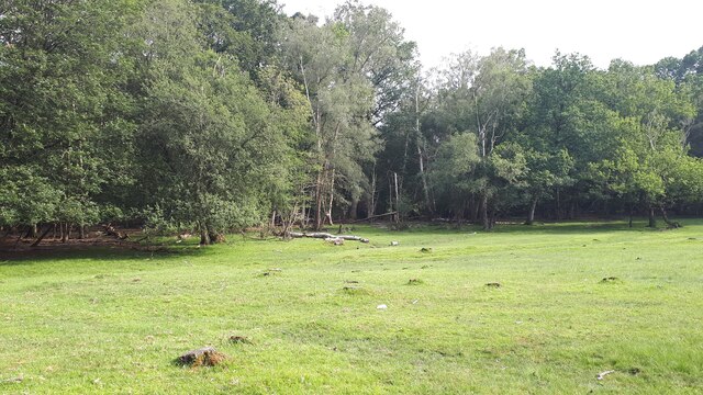
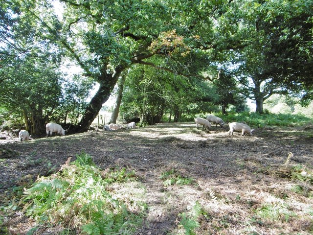
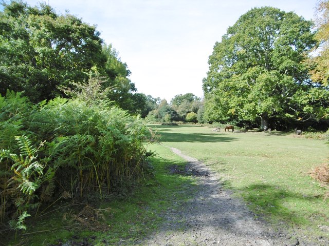
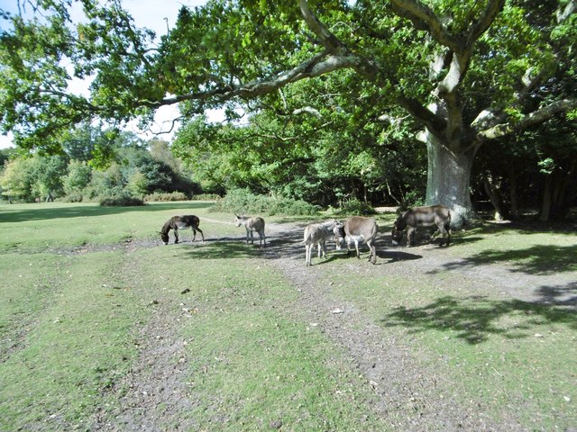
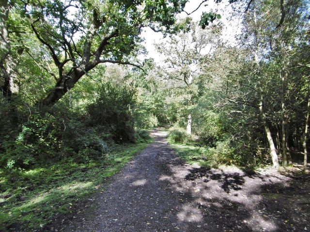
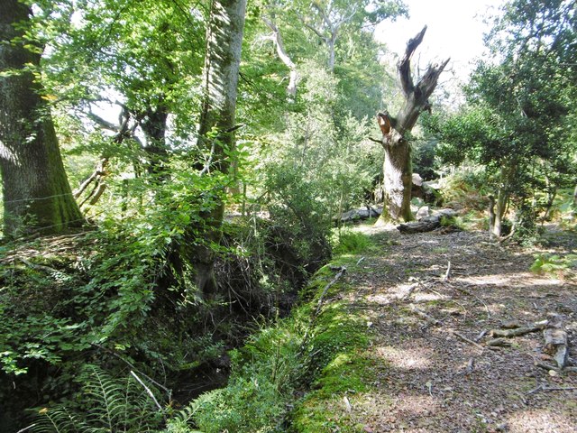
Nature lovers and outdoor enthusiasts are drawn to Brook due to its proximity to beautiful walking trails and nature reserves. The River Dun, which flows through the village, is a popular spot for fishing and wildlife spotting. The surrounding area offers ample opportunities for hiking, cycling, and horse riding.

Overall, Brook is an enchanting village that offers a peaceful escape from the hustle and bustle of city life. Its natural beauty, historic charm, and friendly community make it an appealing destination for those seeking a tranquil countryside retreat.

If you have any feedback on the listing, please let us know in the comments section below.
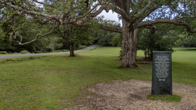
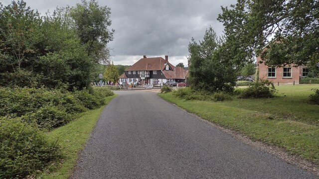
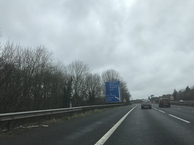
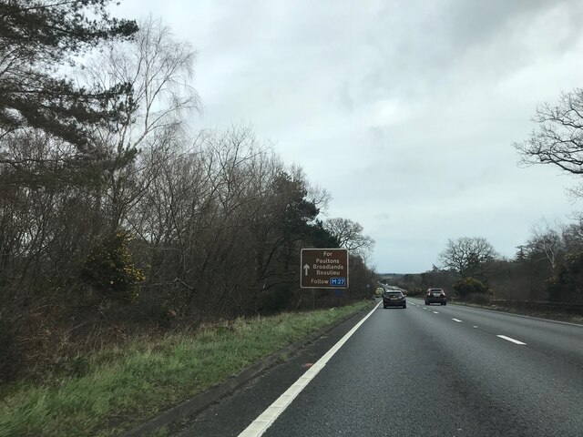
Brook Images

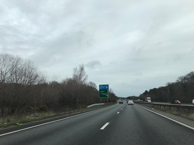
Images are sourced within 2km of 50.926454/-1.610959 or Grid Reference SU2714. Thanks to Geograph Open Source API. All images are credited.

The Rufus Stone
The Rufus Stone
King's Garn Gutter
King's Garn Gutter
Forest lawn on lower edge of Brook Wood
View across clearing in Brook Wood
Rufus Stone Rufus Stone encased in a protective cover
Rufus Stone
Rufus Stone encased in a protective cover
Lane to Brook Lane to Brook passing the Sir Walter Tyrell pub
Lane to Brook
Lane to Brook passing the Sir Walter Tyrell pub
Signage - M27 southbound
Signage - A31 northbound
Cadnam Common, pannage pigs On the western boundary of the common; pigs doing what is expected of them at this time of year - forage for fallen acorns, which can be poisonous to other livestock. <span class="nowrap"><a title="http://www.thenewforest.co.uk/discover/pigs.aspx#" rel="nofollow ugc noopener" href="http://www.thenewforest.co.uk/discover/pigs.aspx#">Link</a><img style="margin-left:2px;" alt="External link" title="External link - shift click to open in new window" src="https://s1.geograph.org.uk/img/external.png" width="10" height="10"/></span>
Cadnam Common, pannage pigs
On the western boundary of the common; pigs doing what is expected of them at this time of year - forage for fallen acorns, which can be poisonous to other livestock. LinkExternal link
Cadnam Common An "adjacent common", similar to the New Forest physically and ecologically, but not Crown land; this common is owned by the National Trust. <span class="nowrap"><a title="http://www.nationaltrust.org.uk/new-forest-northern-commons/" rel="nofollow ugc noopener" href="http://www.nationaltrust.org.uk/new-forest-northern-commons/">Link</a><img style="margin-left:2px;" alt="External link" title="External link - shift click to open in new window" src="https://s1.geograph.org.uk/img/external.png" width="10" height="10"/></span>
Cadnam Common
An "adjacent common", similar to the New Forest physically and ecologically, but not Crown land; this common is owned by the National Trust. LinkExternal link
Cadnam Common, donkeys
Cadnam, Storm's Farm Stables overlooking Cadnam Common.
Cadnam, Storm's Farm
Stables overlooking Cadnam Common.
Cadnam, byway From Storm's Farm to Kewlake Lane.
Cadnam, byway
From Storm's Farm to Kewlake Lane.
Cadnam, track Along the southern boundary of Cadnam Common.
Cadnam, track
Along the southern boundary of Cadnam Common.
Cadnam Common, ditch & embankment At the western boundary of the common.
Cadnam Common, ditch & embankment
At the western boundary of the common.
Cadnam Common, track Parallel to the western boundary of the common.
Cadnam Common, track
Parallel to the western boundary of the common.
Cadnam Common, lawn "Lawn" is a New Forest term for expanses of grassland closely cropped by livestock.
Cadnam Common, lawn
"Lawn" is a New Forest term for expanses of grassland closely cropped by livestock.
Show me another place!

Brook is located at Grid Ref: SU2714 (Lat: 50.926454, Lng: -1.610959)

Administrative County: Hampshire

District: New Forest

Police Authority: Hampshire

What 3 Words

///broker.vintages.defected. Near Cadnam, Hampshire

Related Wikis

Brook, New Forest

Brook is a hamlet in the civil parish of Bramshaw, in Hampshire, England. It lies just inside the New Forest. The hamlet contains a mix of 18th and 19th...

Bramshaw

Bramshaw is a small village and civil parish in Hampshire, England. It lies just inside the New Forest. The name Bramshaw means Bramble Wood. Until 1895...

Upper Canterton

Upper Canterton is a village in Hampshire, England, located at 50°54′36″N 1°37′24″W. It is near Minstead. == References == The geographic coordinates are...

Bartley Lodge

Bartley Lodge is a country house near Cadnam in Hampshire, England, within the boundaries of the New Forest National Park. It was built in the 18th century...

Minstead

Minstead is a small village and civil parish in the New Forest, Hampshire, about 2 miles (3.2 km) north of Lyndhurst. There is a shop and a pub, the Trusty...

Cadnam

Cadnam is a village situated in Hampshire, England, within the boundaries of the New Forest National Park. The village has existed since the medieval period...

Minstead Lodge

Minstead Lodge in Hampshire is a building of historical significance built in about 1830 and is Grade II listed on the English Heritage Register. Today...

Bartley, Hampshire

Bartley is a village in Hampshire, England, within the boundaries of the New Forest National Park, seven miles (11 km) west of Southampton. == Overview... ==

Nearby Amenities

Located within 500m of 50.926454,-1.610959
Odbl: clean
Lat/Long: 50.924226/-1.6091889
Odbl: clean
Lat/Long: 50.9286202/-1.6168041
Brook
Is In: Hampshire, England, UK
Place: hamlet
Wikidata: Q4974305
Lat/Long: 50.9254563/-1.6139838
Bus Stop
Green Dragon PH
Bus: yes
Naptan AtcoCode: 1900HA080154
Naptan Bearing: W
Naptan BusStopType: CUS
Naptan CommonName: Green Dragon PH
Naptan Crossing: Roger Penny Way B3078
Naptan Indicator: Sch Svc
Naptan NaptanCode: hamagmad
Naptan Street: B3079
Naptan Verified: no
Source: naptan_import
Lat/Long: 50.9254519/-1.6126093
Bus Stop
Green Dragon PH
Bench: no
Bin: no
Bus: yes
Lit: no
Naptan AtcoCode: 1900HA080155
Naptan Bearing: E
Naptan BusStopType: CUS
Naptan CommonName: Green Dragon PH
Naptan Crossing: B3078 Roger Penny Way
Naptan Indicator: Sch Svc
Naptan NaptanCode: hamagmaj
Naptan Street: B3079
Naptan Verified: no
Shelter: no
Source: naptan_import
Tactile Paving: no
Lat/Long: 50.925587/-1.6124527
Bar
Bramshaw Golf Course Clubhouse & Bar
Lat/Long: 50.926367/-1.6138113
Pub
The Green Dragon
Addr City: New Forest
Addr Housename: The Green Dragon
Addr Postcode: SO43 7HE
Contact Facebook: https://www.facebook.com/Greendragonbrook/
Contact Instagram: https://www.instagram.com/greendragonbrook/
Email: greendragon@wadworth.co.uk
Phone: +44 2380 813359
Website: https://www.greendragonbrook.co.uk/
Wikidata: Q26459976
Lat/Long: 50.9253025/-1.6126773
Pub
The Bell Inn
Addr City: New Forest
Addr Housename: The Bell Inn
Addr Postcode: SO43 7HE
Contact Facebook: https://www.facebook.com/Bellinnnewforest
Contact Instagram: https://www.instagram.com/bellinn_newforest/
Email: reception@bramshaw.co.uk
Phone: +44 2380 812214
Website: https://bellinn-newforest.co.uk/
Wikidata: Q26387093
Lat/Long: 50.925886/-1.6138693
Post Box
Collection Times: Mo-Fr 16:45; Sa 07:30
Operator: Royal Mail
Operator Wikidata: Q638098
Post Box Mounting: brick_pillar
Post Box Type: wall
Ref: SO43 23
Royal Cypher: VR
Royal Cypher Wikidata: Q33102356
Lat/Long: 50.9256199/-1.6135151
The data included in this document is from www.openstreetmap.org. The data is made available under ODbL.

Have you been to Brook?

Leave your review of Brook below (or comments, questions and feedback).