Annie's Wood
Wood, Forest in Durham
England
Annie's Wood
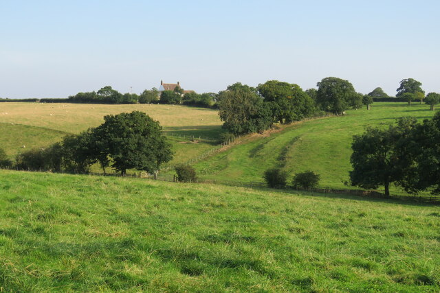
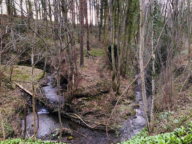
Annie's Wood, located in Durham, is a captivating forest that offers visitors a serene and enchanting experience in the heart of nature. Covering approximately 50 acres, this woodland is a hidden gem that forms part of the larger Durham Heritage Coast. It is named after Annie, a local resident who dedicated her life to preserving and nurturing the woodland.
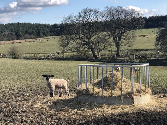
Annie's Wood boasts a diverse range of flora and fauna, making it a haven for nature enthusiasts and wildlife lovers. The forest is predominantly composed of broadleaf trees such as oak, beech, and birch, creating a dense canopy that filters sunlight and sets a tranquil atmosphere. The forest floor is adorned with a carpet of wildflowers, creating a picturesque scene during spring and summer months.
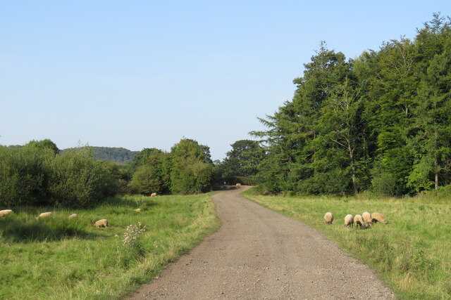
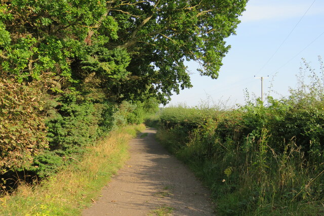
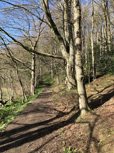
Numerous well-maintained trails wind through Annie's Wood, providing visitors with easy access to explore and discover its hidden treasures. These paths are suitable for hikers of all levels, offering both leisurely strolls and more challenging routes for those seeking adventure. Along the way, walkers can spot a variety of wildlife, including deer, foxes, and a myriad of bird species.
Annie's Wood is not only a place of natural beauty but also of historical significance. The woodland has witnessed centuries of human activity, and remnants of ancient settlements, such as stone walls and old farm buildings, can still be found within its boundaries. These historical features add an extra layer of intrigue to the forest, inviting visitors to delve into the rich cultural heritage of the area.
In summary, Annie's Wood in Durham is a captivating forest that offers a peaceful retreat to nature enthusiasts. With its diverse flora and fauna, well-maintained trails, and historical significance, it is a must-visit destination for anyone seeking a memorable experience in the heart of nature.
If you have any feedback on the listing, please let us know in the comments section below.
Annie's Wood Images
Images are sourced within 2km of 54.732926/-1.5683315 or Grid Reference NZ2737. Thanks to Geograph Open Source API. All images are credited.
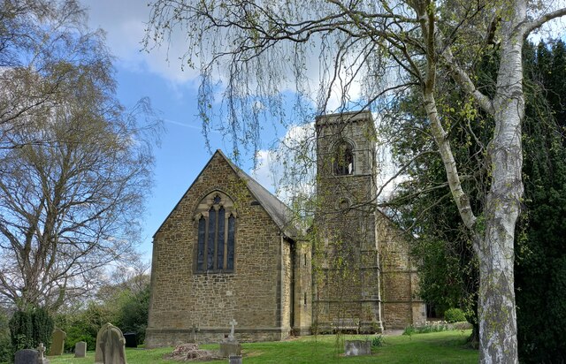
![Croxdale Cemetery The OS flush bracket [S8971] is located on the north-west facing wall of the cemetery building.](https://s3.geograph.org.uk/geophotos/07/05/28/7052811_df40d981.jpg)
![Croxdale Cemetery There is an OS flush bracket [S8971] located on the north-west facing wall of the cemetery building. It is about 2 foot above ground level and directly below the roof apex.](https://s2.geograph.org.uk/geophotos/07/05/28/7052814_a2cc217c.jpg)

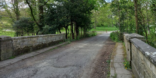
![Sunderland [old] Bridge The bolt benchmark is cut into the eastern parapet of the old bridge.](https://s1.geograph.org.uk/geophotos/07/19/24/7192485_d0e9423d.jpg)
![Sunderland [old] Bridge There is a bolt benchmark cut into the second course of stone on the eastern parapet of the old bridge.](https://s3.geograph.org.uk/geophotos/07/19/24/7192487_c6cbaa76.jpg)


Annie's Wood is located at Grid Ref: NZ2737 (Lat: 54.732926, Lng: -1.5683315)
Unitary Authority: County Durham
Police Authority: Durham
What 3 Words
///coarser.frightens.promoting. Near Bowburn, Co. Durham
Nearby Locations
Related Wikis

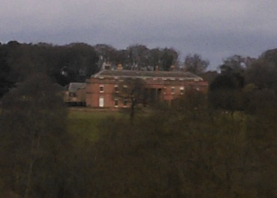
Croxdale Hall
Croxdale Hall is a privately owned country mansion situated at Croxdale near Sunderland Bridge, County Durham. It is a Grade I listed building. == Ownership... ==

Croxdale and Hett
Croxdale and Hett is a civil parish in County Durham, England. It is situated approximately four miles south of Durham. The population of the civil parish...
Sunderland Bridge (village)
Sunderland Bridge is a village and former civil parish, now in the parish of Croxdale and Hett, in the County Durham district, in the ceremonial county...

Croxdale
Croxdale is a village in the civil parish of Croxdale and Hett, situated about 3 miles (4.8 km) south of Durham City, in County Durham , England and on...

Hett, County Durham
Hett is a village and former civil parish, now in the parish of Croxdale and Hett, in the County Durham district, in the ceremonial county of Durham, England...

Croxdale railway station
Croxdale railway station served the village of Croxdale, County Durham, England from 1872 to 1938 on the East Coast Main Line. == History == The station...

Butterby Oxbow
Butterby Oxbow is a Site of Special Scientific Interest in the Durham City district of County Durham, England. It consists of a former meander of the...
Burn Hall, County Durham
Burn Hall is a country house in County Durham. It is a Grade II* listed building. == History == Around 1812, Bryan John Salvin of Croxdale purchased a...
Nearby Amenities
Located within 500m of 54.732926,-1.5683315Have you been to Annie's Wood?
Leave your review of Annie's Wood below (or comments, questions and feedback).