Horseshoe Wood
Wood, Forest in Hampshire Test Valley
England
Horseshoe Wood

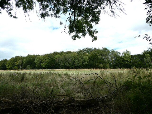
Horseshoe Wood is a picturesque woodland located in Hampshire, England. Covering an area of approximately 50 acres, this enchanting forest is recognized for its scenic beauty and rich biodiversity. Nestled within the South Downs National Park, Horseshoe Wood offers an idyllic retreat for nature lovers and outdoor enthusiasts alike.
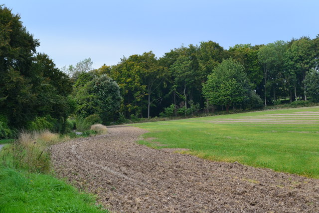
The woodland is predominantly composed of native broadleaf trees, including oak, beech, and ash, which create a dense and vibrant canopy that provides shelter for a wide variety of flora and fauna. Visitors to Horseshoe Wood can witness the changing colors of the leaves throughout the seasons, making it a particularly popular destination for autumn walks.
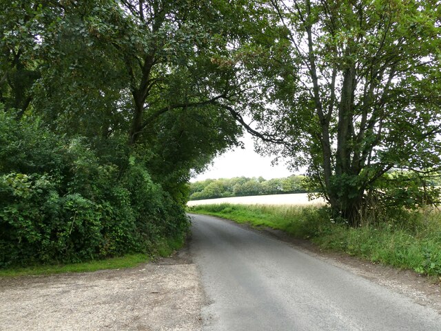
The woods are crisscrossed by a network of well-maintained trails, allowing visitors to explore its natural wonders at their own pace. These pathways lead to secluded clearings, tranquil ponds, and meandering streams, providing ample opportunities for peaceful contemplation and wildlife spotting. The forest is home to a diverse range of animal species, such as deer, foxes, rabbits, and a variety of birdlife, making it a haven for wildlife enthusiasts and photographers.
Horseshoe Wood is open to the public throughout the year, and visitors can enjoy a range of activities such as hiking, cycling, and picnicking. The forest also offers educational programs and guided tours, providing valuable insights into the local ecosystem and conservation efforts.
With its stunning landscapes, abundant wildlife, and peaceful ambiance, Horseshoe Wood is a true gem within Hampshire's natural heritage, captivating visitors with its timeless charm and tranquility.
If you have any feedback on the listing, please let us know in the comments section below.
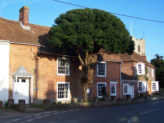
Horseshoe Wood Images
Images are sourced within 2km of 51.099456/-1.6029567 or Grid Reference SU2733. Thanks to Geograph Open Source API. All images are credited.


Horseshoe Wood is located at Grid Ref: SU2733 (Lat: 51.099456, Lng: -1.6029567)
Administrative County: Hampshire
District: Test Valley
Police Authority: Hampshire
What 3 Words
///stretcher.slams.handfuls. Near Middle Winterslow, Wiltshire
Nearby Locations
Related Wikis

Broughton Down
Broughton Down is a 45.8-hectare (113-acre) biological Site of Special Scientific Interest west of Broughton in Hampshire. The eastern half is a nature...

Buckholt, Hampshire
Buckholt is a hamlet and civil parish in the Test Valley district of Hampshire, England, close to the border with Wiltshire. According to the 2001 census...

Ashleys Copse
Ashley's Copse is the site of an Iron Age hillfort, about 8 miles (13 km) northeast of the city of Salisbury, England, straddling the border between the...
Broughton, Hampshire
Broughton is a village and civil parish in the Test Valley district of Hampshire, England, about 10 miles (16 km) north of Romsey. The Manor of Broughton...

West Tytherley
West Tytherley is a village and civil parish in the Test Valley district of Hampshire, England. Its nearest town is Stockbridge, which lies approximately...

Nether Wallop
Nether Wallop is a village and civil parish in the Test Valley district of Hampshire, England. It is located approximately 3.7 miles (6 km) northwest of...
Battle of Guoloph
The Battle of Guoloph, also known as the Battle of Wallop, took place in the 5th century. Various dates have been put forward: 440 AD by Alfred Anscombe...
Middle Wallop
Middle Wallop is a village in the civil parish of Nether Wallop in Hampshire, England, on the A343 road. At the 2011 Census the population was included...
Nearby Amenities
Located within 500m of 51.099456,-1.6029567Have you been to Horseshoe Wood?
Leave your review of Horseshoe Wood below (or comments, questions and feedback).