Crime Wood
Wood, Forest in Durham
England
Crime Wood
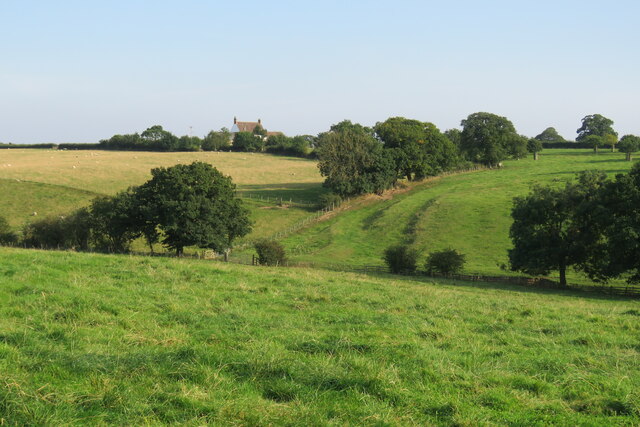
Crime Wood, Durham, also known as Wood or Forest, is a small rural village located in the county of Durham, England. Situated approximately 10 miles west of the city of Durham, this quaint village is nestled amidst picturesque countryside and is known for its tranquil and serene atmosphere.
Crime Wood is predominantly a residential area, consisting of a close-knit community of residents. The village is characterized by its charming cottages and houses, many of which boast traditional architecture and are surrounded by well-maintained gardens.
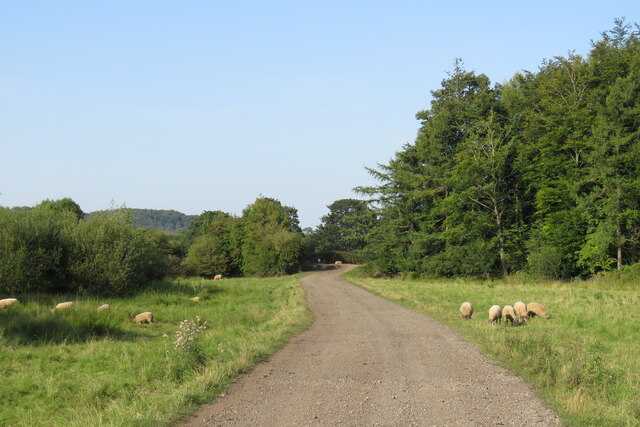
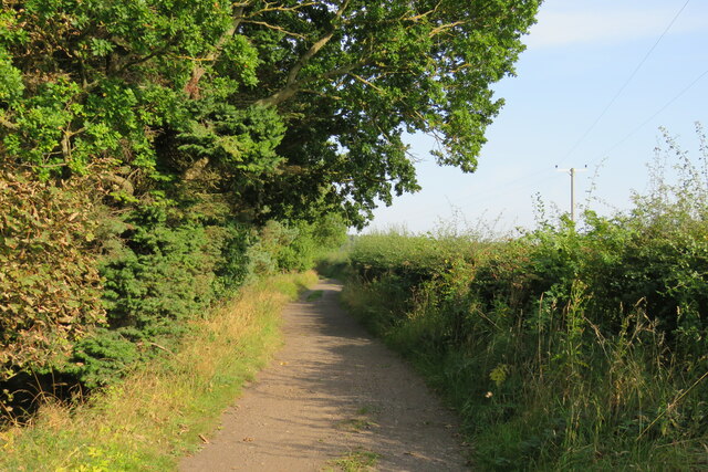
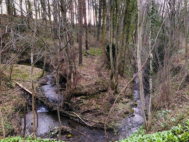
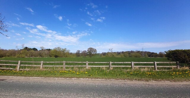
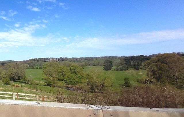
The village is surrounded by dense woodland, giving it a unique and idyllic setting. This lush greenery attracts nature enthusiasts and provides ample opportunities for walking, hiking, and exploring the outdoors. Additionally, the woodlands are home to a diverse range of flora and fauna, contributing to the village's natural beauty.
Crime Wood has limited amenities, with a small convenience store catering to the basic needs of its residents. However, for more extensive shopping and entertainment options, the city of Durham is easily accessible by car or public transport.
The village boasts a close community spirit, with regular events and gatherings organized by local residents. These events provide opportunities for socializing and fostering a sense of belonging among the villagers.
Crime Wood offers a peaceful and tranquil lifestyle, making it an attractive place to live for those who prefer a rural setting and a strong sense of community.
If you have any feedback on the listing, please let us know in the comments section below.
Crime Wood Images
Images are sourced within 2km of 54.73169/-1.5745407 or Grid Reference NZ2737. Thanks to Geograph Open Source API. All images are credited.
![Croxdale Cemetery The OS flush bracket [S8971] is located on the north-west facing wall of the cemetery building.](https://s3.geograph.org.uk/geophotos/07/05/28/7052811_df40d981.jpg)
![Croxdale Cemetery There is an OS flush bracket [S8971] located on the north-west facing wall of the cemetery building. It is about 2 foot above ground level and directly below the roof apex.](https://s2.geograph.org.uk/geophotos/07/05/28/7052814_a2cc217c.jpg)


![Sunderland [old] Bridge The bolt benchmark is cut into the eastern parapet of the old bridge.](https://s1.geograph.org.uk/geophotos/07/19/24/7192485_d0e9423d.jpg)
![Sunderland [old] Bridge There is a bolt benchmark cut into the second course of stone on the eastern parapet of the old bridge.](https://s3.geograph.org.uk/geophotos/07/19/24/7192487_c6cbaa76.jpg)


Crime Wood is located at Grid Ref: NZ2737 (Lat: 54.73169, Lng: -1.5745407)
Unitary Authority: County Durham
Police Authority: Durham
What 3 Words
///seating.sundial.trailers. Near Bowburn, Co. Durham
Nearby Locations
Related Wikis

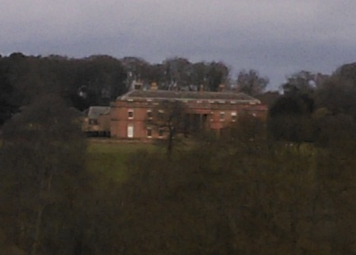
Croxdale Hall
Croxdale Hall is a privately owned country mansion situated at Croxdale near Sunderland Bridge, County Durham. It is a Grade I listed building. == Ownership... ==

Croxdale and Hett
Croxdale and Hett is a civil parish in County Durham, England. It is situated approximately four miles south of Durham. The population of the civil parish...

Croxdale
Croxdale is a village in the civil parish of Croxdale and Hett, situated about 3 miles (4.8 km) south of Durham City, in County Durham , England and on...
Sunderland Bridge (village)
Sunderland Bridge is a village and former civil parish, now in the parish of Croxdale and Hett, in the County Durham district, in the ceremonial county...

Croxdale railway station
Croxdale railway station served the village of Croxdale, County Durham, England from 1872 to 1938 on the East Coast Main Line. == History == The station...

Hett, County Durham
Hett is a village and former civil parish, now in the parish of Croxdale and Hett, in the County Durham district, in the ceremonial county of Durham, England...

Butterby Oxbow
Butterby Oxbow is a Site of Special Scientific Interest in the Durham City district of County Durham, England. It consists of a former meander of the...
Burn Hall, County Durham
Burn Hall is a country house in County Durham. It is a Grade II* listed building. == History == Around 1812, Bryan John Salvin of Croxdale purchased a...
Nearby Amenities
Located within 500m of 54.73169,-1.5745407Have you been to Crime Wood?
Leave your review of Crime Wood below (or comments, questions and feedback).