Birch Wood

Wood, Forest in Derbyshire South Derbyshire

England

Birch Wood

Radbourne: west from School Lane Just after 8.30 on a sultry July evening, the day after temperature records were established in many parts of the country.
Radbourne: west from School Lane Credit: John Sutton

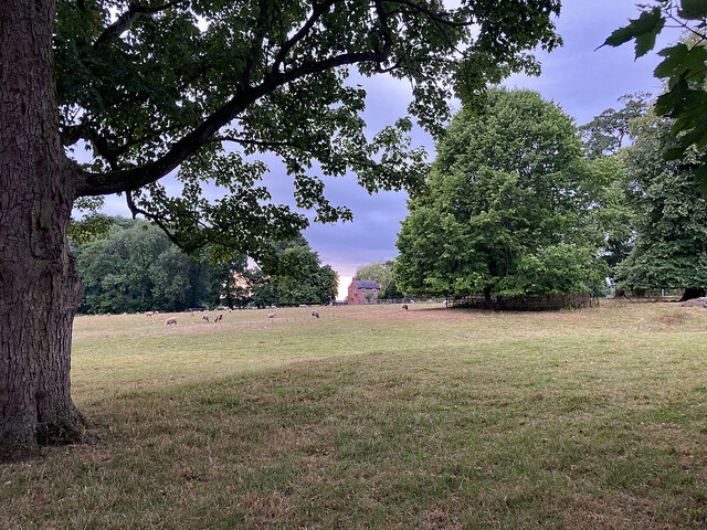
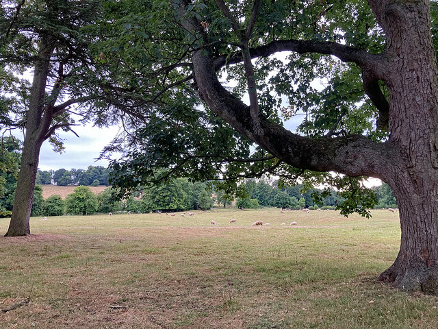
Birch Wood is a picturesque forest located in Derbyshire, England. Covering an area of approximately 100 acres, this woodland is renowned for its stunning natural beauty and diverse ecosystem. The wood is predominantly made up of birch trees, hence its name, which create a mesmerizing sight with their slender trunks and delicate leaves.

Situated in the heart of the Peak District National Park, Birch Wood offers a tranquil escape from the hustle and bustle of everyday life. It is a popular destination for nature lovers, hikers, and birdwatchers, who are drawn to its peaceful atmosphere and abundant wildlife. The wood is home to a variety of bird species, including woodpeckers, owls, and songbirds, making it a paradise for bird enthusiasts.

Visitors can explore Birch Wood through its well-maintained walking trails that wind through the forest, offering stunning views of the surrounding countryside. The wood is also intersected by a charming stream, adding to its allure and providing a soothing ambiance. Additionally, there are several picnic areas and benches scattered throughout the wood, providing the perfect spot for visitors to relax and enjoy the serenity of nature.

Birch Wood is not only a haven for wildlife and scenic beauty but also holds historical significance. It has been a part of the local landscape for centuries and has witnessed the passing of time, making it a place of cultural and historical interest.

In conclusion, Birch Wood in Derbyshire is a captivating forest that offers a peaceful retreat and an opportunity to connect with nature. With its breathtaking scenery, diverse wildlife, and rich history, it is a must-visit destination for anyone seeking a tranquil escape in the heart of the English countryside.

If you have any feedback on the listing, please let us know in the comments section below.
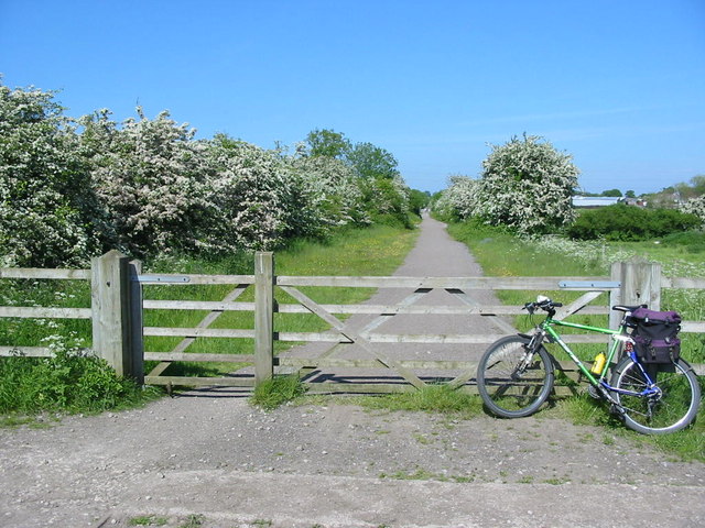
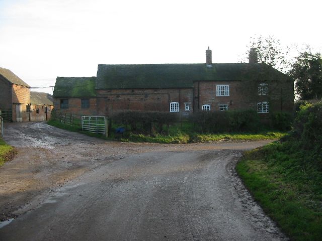
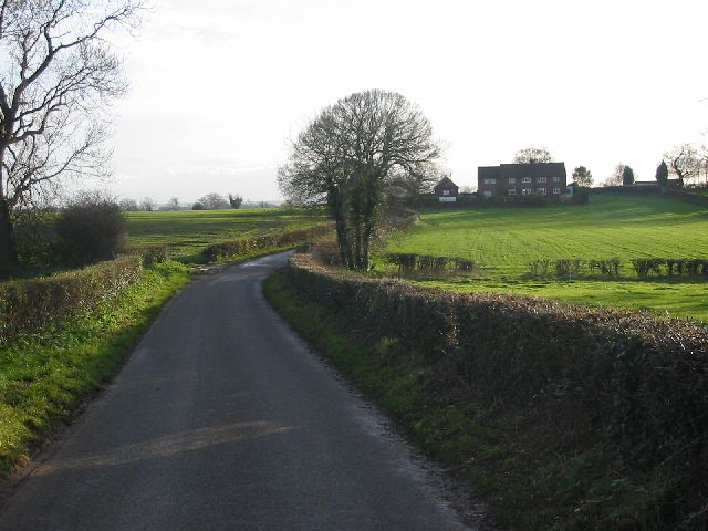
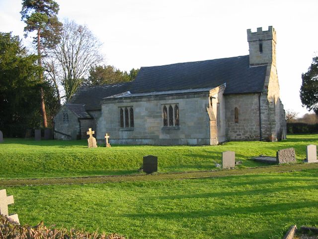
Birch Wood Images

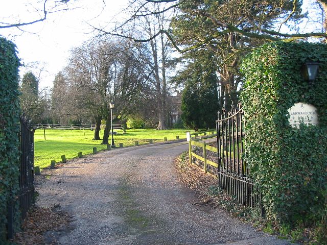
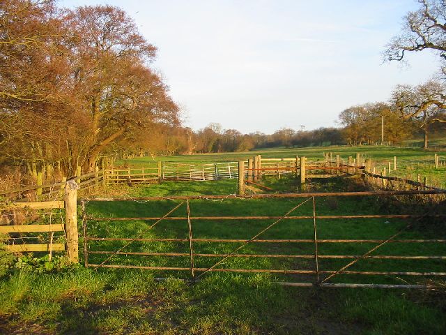
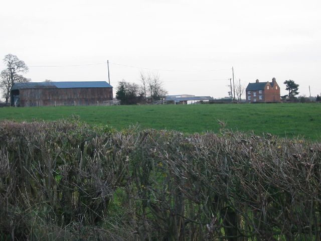
Images are sourced within 2km of 52.916744/-1.5925149 or Grid Reference SK2735. Thanks to Geograph Open Source API. All images are credited.

Radbourne: west from School Lane Just after 8.30 on a sultry July evening, the day after temperature records were established in many parts of the country.
Radbourne: west from School Lane
Just after 8.30 on a sultry July evening, the day after temperature records were established in many parts of the country.
Radbourne: sheep grazing on a summer evening Just after 8.30 on a sultry July evening, the day after temperature records were established in many parts of the country.
Radbourne: sheep grazing on a summer evening
Just after 8.30 on a sultry July evening, the day after temperature records were established in many parts of the country.
Radbourne: outbuildings at Park Farm Eight-thirty on a warm July evening.
Radbourne: outbuildings at Park Farm
Eight-thirty on a warm July evening.
The Cow at Dalbury Lees A popular pub-restaurant at the corner of the green in a small village west of Derby, photographed on a warm July evening the day after record temperatures were established in many places in the country.
The Cow at Dalbury Lees
A popular pub-restaurant at the corner of the green in a small village west of Derby, photographed on a warm July evening the day after record temperatures were established in many places in the country.
On Bonnie Prince Charlie Walk - path running NW from near Radbourne
Village green at Lees, Derbyshire
Bearwardcote Crossing This crossing on the former Burton to Derby railway serves Bearwardcote Farm.  The line is now a very popular multiuser trail between Mickleover and Etwall.
Bearwardcote Crossing
This crossing on the former Burton to Derby railway serves Bearwardcote Farm. The line is now a very popular multiuser trail between Mickleover and Etwall.
Silverhill Farm Silverhill Farm lies very close to Radbourne Hall.  It appears that a number of modern businesses now occupy the farm buildings.
Silverhill Farm
Silverhill Farm lies very close to Radbourne Hall. It appears that a number of modern businesses now occupy the farm buildings.
Cunnery Pond Cunnery Pond is on the Radbourne Hall estate and feeds water into the main lakes near the hall.  After several days of heavy rain in December the water looks rather murky.
Cunnery Pond
Cunnery Pond is on the Radbourne Hall estate and feeds water into the main lakes near the hall. After several days of heavy rain in December the water looks rather murky.
Foxfields Farm Foxfields Farm sits on a quiet lane between Radbourne and Lees.  After much rain the lane was particularly muddy and sloshy.
Foxfields Farm
Foxfields Farm sits on a quiet lane between Radbourne and Lees. After much rain the lane was particularly muddy and sloshy.
Lane Between Radbourne and Lees This quiet lane runs between the villages of Radbourne and Lees in the rural countryside to the west of Derby.
Lane Between Radbourne and Lees
This quiet lane runs between the villages of Radbourne and Lees in the rural countryside to the west of Derby.
Rock House Farm Rock House Farm on a quiet lane just outside the village of Lees.
Rock House Farm
Rock House Farm on a quiet lane just outside the village of Lees.
Lane near Rookhills View of Rookhills on the quiet lane between the villages of Lees and Dalbury.
Lane near Rookhills
View of Rookhills on the quiet lane between the villages of Lees and Dalbury.
Dalbury Church All Saints church at Dalbury is one of the 'Longford 8'.  This is a grouping of a number of small parishes that are located in the rural areas to the west of Derby.
Dalbury Church
All Saints church at Dalbury is one of the 'Longford 8'. This is a grouping of a number of small parishes that are located in the rural areas to the west of Derby.
Bearwardcote Hall Bearwardcote Hall near Dalbury has found a new use as a private nursing home.
Bearwardcote Hall
Bearwardcote Hall near Dalbury has found a new use as a private nursing home.
Daysclose Plantation on the Radbourne Estate The trees here line Radbourne Brook that flows through the grounds of Radbourne Hall.
Daysclose Plantation on the Radbourne Estate
The trees here line Radbourne Brook that flows through the grounds of Radbourne Hall.
Smerills Farm Smerills Farm on the edge of the Radbourne Hall estate.
Smerills Farm
Smerills Farm on the edge of the Radbourne Hall estate.
Radbourne Hall Radbourne Hall lies a few miles to the west of Derby.  Bonnie Prince Charlie stayed one night at the hall in 1745 on his march south when his army halted at Swarkestone Bridge just south of Derby.
Radbourne Hall
Radbourne Hall lies a few miles to the west of Derby. Bonnie Prince Charlie stayed one night at the hall in 1745 on his march south when his army halted at Swarkestone Bridge just south of Derby.
Show me another place!

Birch Wood is located at Grid Ref: SK2735 (Lat: 52.916744, Lng: -1.5925149)

Administrative County: Derbyshire

District: South Derbyshire

Police Authority: Derbyshire

What 3 Words

///deaf.senses.lists. Near Etwall, Derbyshire

Related Wikis

Radbourne, Derbyshire

Radbourne is a small village and civil parish in the English county of Derbyshire, a few miles west of Derby. As the population of the civil parish taken...

St Andrew's Church, Radbourne

St Andrew's Church, Radbourne is a Grade I listed parish church in the Church of England in Radbourne, Derbyshire. == History == The church dates from...
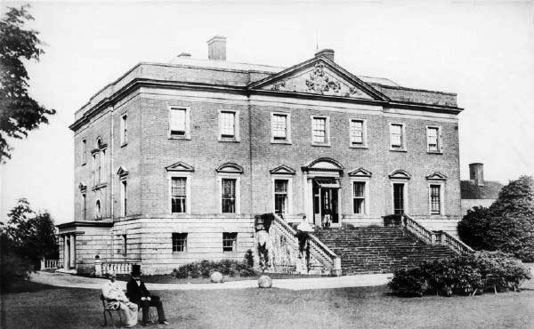
Radbourne Hall

Radbourne Hall is an 18th-century Georgian country house, the seat of the Chandos-Pole family, at Radbourne, Derbyshire. It is a Grade I listed building...

Dalbury Lees

Dalbury Lees is a parish in south Derbyshire. The population of the civil parish as taken at the 2011 Census (including Trusley) was 306. It is about...

Nearby Amenities

Located within 500m of 52.916744,-1.5925149
Power: tower
Source: Bing
Lat/Long: 52.9142659/-1.5905026
Power: tower
Source: Bing
Lat/Long: 52.9162129/-1.5922975
Power: tower
Source: Bing
Lat/Long: 52.9184578/-1.5944338
Power: tower
Source: Bing
Lat/Long: 52.9208019/-1.5943192
The data included in this document is from www.openstreetmap.org. The data is made available under ODbL.

Have you been to Birch Wood?

Leave your review of Birch Wood below (or comments, questions and feedback).