South Park
Downs, Moorland in Durham
England
South Park
South Park, Durham (Downs, Moorland) is a residential neighborhood located in the city of Durham, England. Situated in the southeastern part of the city, it is known for its picturesque surroundings and peaceful atmosphere.
The neighborhood is characterized by its spacious houses and well-maintained gardens, providing a comfortable living environment for its residents. The properties in South Park are predominantly detached or semi-detached houses, often featuring traditional architecture that adds to the charm of the area.
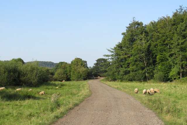
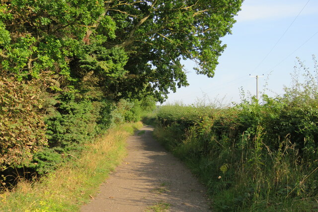
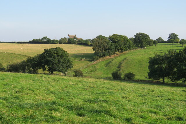
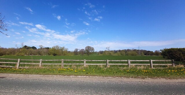
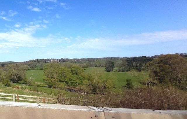
One of the standout features of South Park is its close proximity to the expansive South Park itself. This large public park offers a variety of recreational activities such as walking trails, sports fields, and playgrounds, making it a popular destination for families and fitness enthusiasts alike.
In terms of amenities, South Park benefits from its convenient location near the city center of Durham. Residents have easy access to a range of shops, restaurants, and supermarkets, ensuring that daily necessities are readily available.
Transportation in South Park is well-served by several bus routes, providing convenient connections to other areas of Durham. Additionally, the neighborhood is within reasonable distance to the Durham railway station, allowing for easy access to other cities in the region.
Overall, South Park, Durham (Downs, Moorland) offers a tranquil and family-friendly living environment with its spacious houses, proximity to South Park, and convenient amenities. It is a sought-after neighborhood for those seeking a balance between suburban tranquility and accessibility to urban conveniences.
If you have any feedback on the listing, please let us know in the comments section below.
South Park Images
Images are sourced within 2km of 54.732268/-1.575544 or Grid Reference NZ2737. Thanks to Geograph Open Source API. All images are credited.
![Croxdale Cemetery The OS flush bracket [S8971] is located on the north-west facing wall of the cemetery building.](https://s3.geograph.org.uk/geophotos/07/05/28/7052811_df40d981.jpg)
![Croxdale Cemetery There is an OS flush bracket [S8971] located on the north-west facing wall of the cemetery building. It is about 2 foot above ground level and directly below the roof apex.](https://s2.geograph.org.uk/geophotos/07/05/28/7052814_a2cc217c.jpg)


![Sunderland [old] Bridge The bolt benchmark is cut into the eastern parapet of the old bridge.](https://s1.geograph.org.uk/geophotos/07/19/24/7192485_d0e9423d.jpg)
![Sunderland [old] Bridge There is a bolt benchmark cut into the second course of stone on the eastern parapet of the old bridge.](https://s3.geograph.org.uk/geophotos/07/19/24/7192487_c6cbaa76.jpg)


South Park is located at Grid Ref: NZ2737 (Lat: 54.732268, Lng: -1.575544)
Unitary Authority: County Durham
Police Authority: Durham
What 3 Words
///halt.receive.node. Near Brandon, Co. Durham
Nearby Locations
Related Wikis

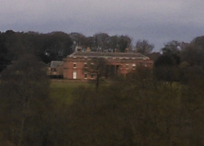
Croxdale Hall
Croxdale Hall is a privately owned country mansion situated at Croxdale near Sunderland Bridge, County Durham. It is a Grade I listed building. == Ownership... ==
Sunderland Bridge (village)
Sunderland Bridge is a village and former civil parish, now in the parish of Croxdale and Hett, in the County Durham district, in the ceremonial county...

Croxdale and Hett
Croxdale and Hett is a civil parish in County Durham, England. It is situated approximately four miles south of Durham. The population of the civil parish...

Croxdale
Croxdale is a village in the civil parish of Croxdale and Hett, situated about 3 miles (4.8 km) south of Durham City, in County Durham , England and on...

Croxdale railway station
Croxdale railway station served the village of Croxdale, County Durham, England from 1872 to 1938 on the East Coast Main Line. == History == The station...

Hett, County Durham
Hett is a village and former civil parish, now in the parish of Croxdale and Hett, in the County Durham district, in the ceremonial county of Durham, England...

Butterby Oxbow
Butterby Oxbow is a Site of Special Scientific Interest in the Durham City district of County Durham, England. It consists of a former meander of the...
Burn Hall, County Durham
Burn Hall is a country house in County Durham. It is a Grade II* listed building. == History == Around 1812, Bryan John Salvin of Croxdale purchased a...
Nearby Amenities
Located within 500m of 54.732268,-1.575544Have you been to South Park?
Leave your review of South Park below (or comments, questions and feedback).