Aldfield Plantation

Wood, Forest in Yorkshire Harrogate

England

Aldfield Plantation

Woodhouse Bridge This old stone bridge is a route over the river Laver from Fountains to Winksley or Galphay. Entering Galphay woods and in turn leading to Brathwaite Hall and Kirkby Malzeard. Lovely quiet place to have lunch and listen to the birds etc.
Woodhouse Bridge Credit: roger nightingale

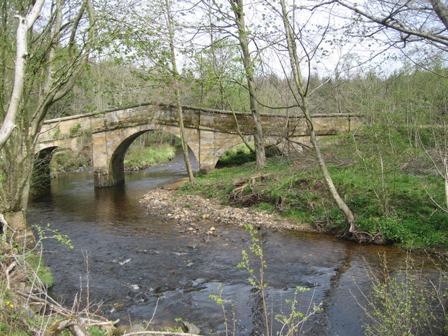
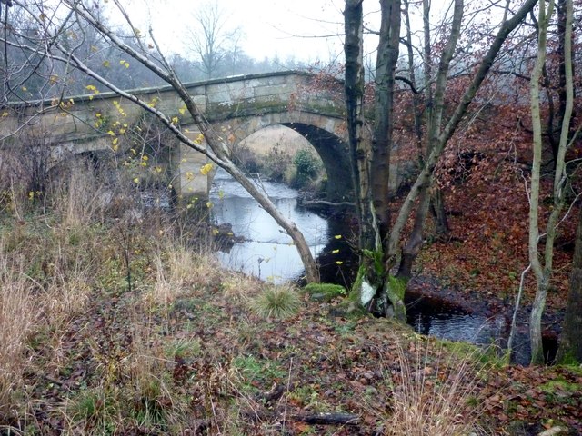
Aldfield Plantation, nestled in the scenic county of Yorkshire, England, is a sprawling woodland paradise that captivates visitors with its natural charm and rich history. Located near the village of Aldfield, this plantation encompasses a vast area of lush greenery, making it a haven for nature enthusiasts and those seeking tranquility away from the bustling city life.

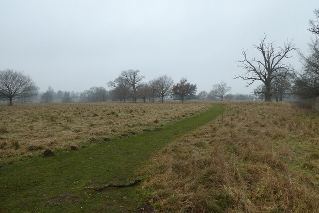
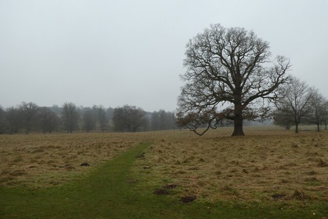
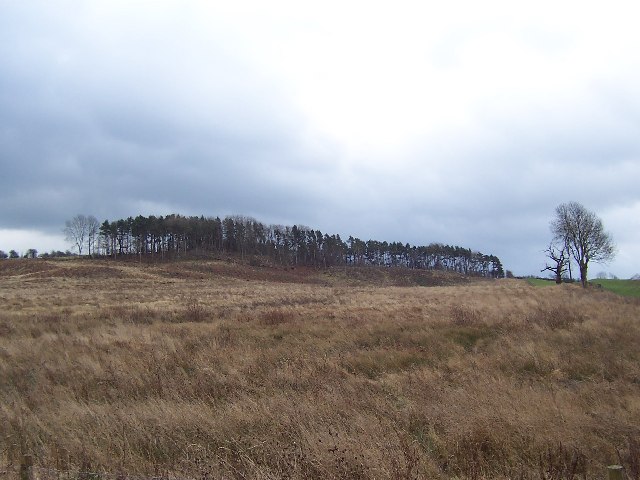
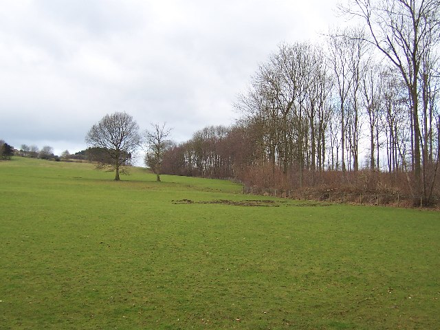
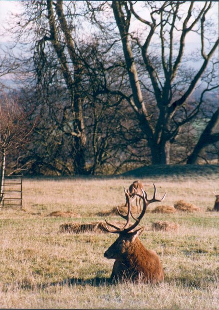
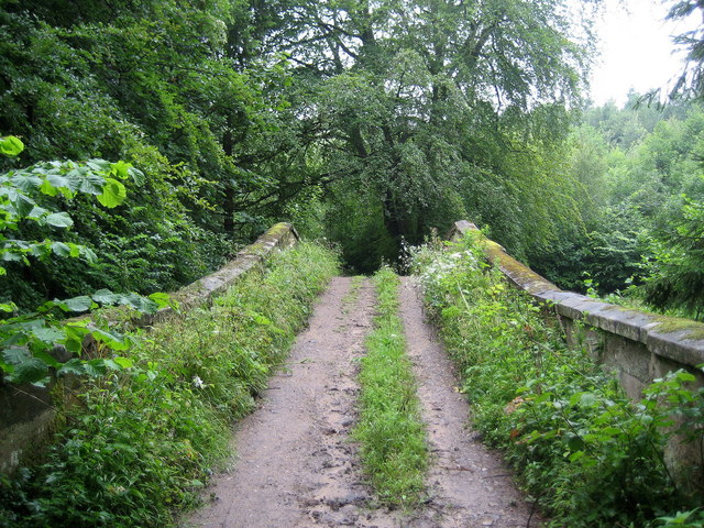
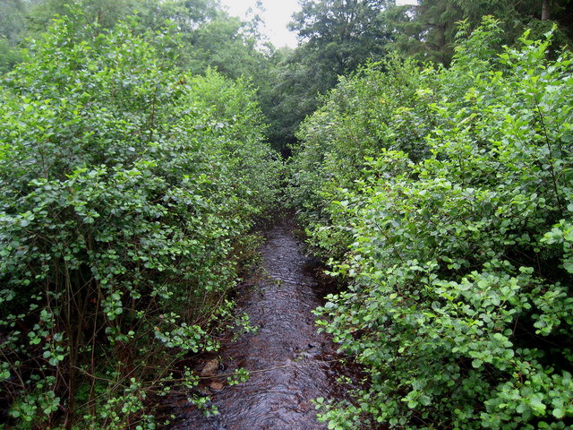
The plantation, boasting a diverse array of tree species, serves as a thriving forest ecosystem. Majestic oak, beech, and ash trees dominate the landscape, their towering canopies providing a haven for an abundance of wildlife. The enchanting woodland floor is adorned with a vibrant carpet of bluebells, foxgloves, and ferns, creating a picturesque scene that changes with the seasons.

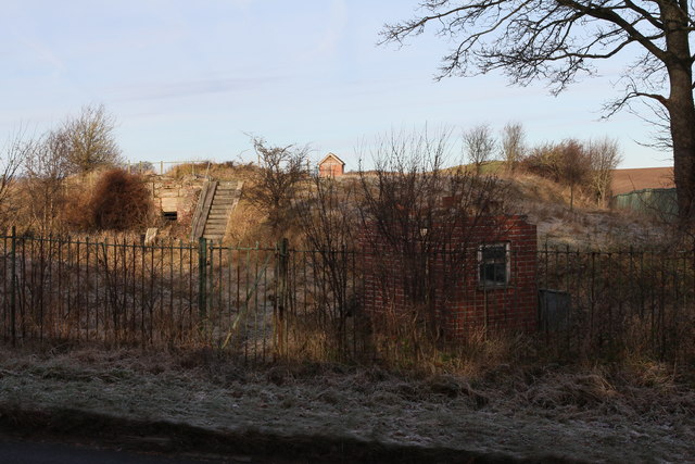
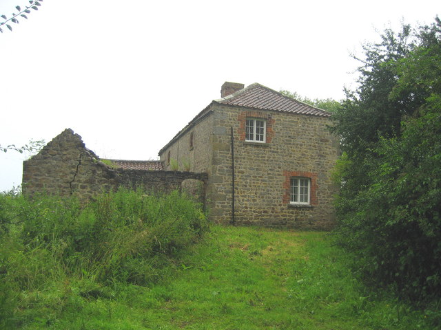
Steeped in history, Aldfield Plantation takes visitors on a journey back in time. The site was once part of the ancient Forest of Knaresborough, which was owned by the Crown until the 17th century. Evidence of its past can be found in the remnants of medieval ridge and furrow agriculture, which still etch the land today.

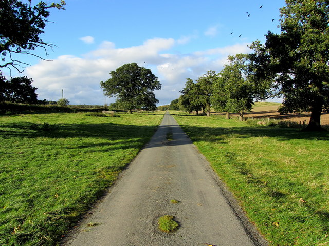
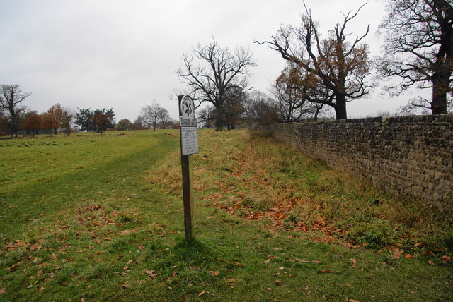
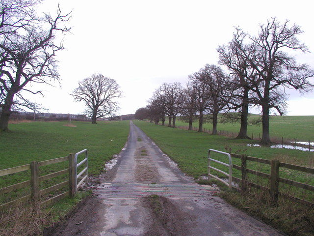
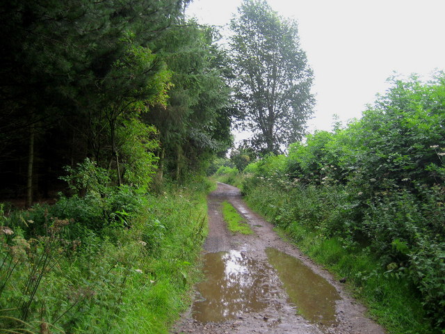
Today, Aldfield Plantation is meticulously managed, ensuring the preservation of its natural beauty. The plantation offers an array of walking trails and paths, allowing visitors to explore its hidden gems at their own pace. Whether it's a leisurely stroll through the towering trees or an adventurous hike up the gently sloping hills, there is something for everyone to enjoy.

A trip to Aldfield Plantation is a rejuvenating experience that offers a glimpse into the region's natural and historical heritage. Nature lovers and history buffs alike are sure to be captivated by the charm and beauty of this enchanting woodland retreat in Yorkshire.

If you have any feedback on the listing, please let us know in the comments section below.

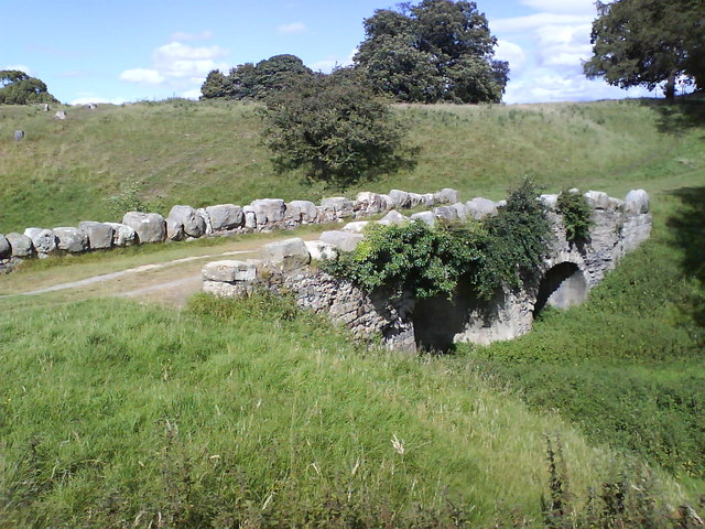
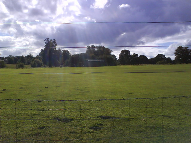
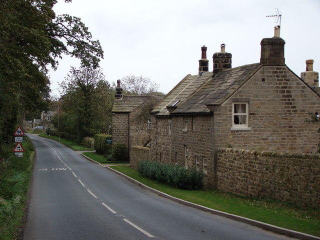
Aldfield Plantation Images

Images are sourced within 2km of 54.119266/-1.5905638 or Grid Reference SE2669. Thanks to Geograph Open Source API. All images are credited.

Woodhouse Bridge This old stone bridge is a route over the river Laver from Fountains to Winksley or Galphay. Entering Galphay woods and in turn leading to Brathwaite Hall and Kirkby Malzeard. Lovely quiet place to have lunch and listen to the birds etc.
Woodhouse Bridge
This old stone bridge is a route over the river Laver from Fountains to Winksley or Galphay. Entering Galphay woods and in turn leading to Brathwaite Hall and Kirkby Malzeard. Lovely quiet place to have lunch and listen to the birds etc.
Access Lane to Low Lindrick An arrow straight access lane leaves the B6265 and runs north for almost a kilometre to reach Low Lindrick
Access Lane to Low Lindrick
An arrow straight access lane leaves the B6265 and runs north for almost a kilometre to reach Low Lindrick
Woodhouse Bridge On the route of the Aislabie Walk long distance footpath
Woodhouse Bridge
On the route of the Aislabie Walk long distance footpath
The edge of Studley Royal deer park It is National Trust land but there is no restriction on entering this part. The Fountains Abbey site adjoining requires proper admission.
The edge of Studley Royal deer park
It is National Trust land but there is no restriction on entering this part. The Fountains Abbey site adjoining requires proper admission.
Reservoir at White Fields Old maps refer to this as having belonged to the former "Ripon Corporation Water Works". <a href="https://www.geograph.org.uk/photo/3272518">SE3070 : Old Pipe across the River Skell</a>
Reservoir at White Fields
Old maps refer to this as having belonged to the former "Ripon Corporation Water Works". SE3070 : Old Pipe across the River Skell
Path on the edge of the deer park Looking along a path on the perimeter of the deer park where the path from Studley Roger enters the park.
Path on the edge of the deer park
Looking along a path on the perimeter of the deer park where the path from Studley Roger enters the park.
Path over the deer park Looking along a path across the deer park from where the footpath from Studley Roger enters the park.
Path over the deer park
Looking along a path across the deer park from where the footpath from Studley Roger enters the park.
Plantation remnants near Winksley The map I was using indicated that this area should have been covered with trees - as can be seen there are not many left. This is about half a mile south of the village of Winksley
Plantation remnants near Winksley
The map I was using indicated that this area should have been covered with trees - as can be seen there are not many left. This is about half a mile south of the village of Winksley
Southern part of Winksley Plantation Pleasant woodlands not far from Fountains Abbey
Southern part of Winksley Plantation
Pleasant woodlands not far from Fountains Abbey
Country park road near to Studley Royal Originally part of the Studley estate held by the Aislabie's, this would have once been an avenue of oaks heading in the direction of Low Lindrick, a farm built in the 18thC.
Country park road near to Studley Royal
Originally part of the Studley estate held by the Aislabie's, this would have once been an avenue of oaks heading in the direction of Low Lindrick, a farm built in the 18thC.
Ornate Gates at Studley Royal These gates are on the northern edge of Studley Royal Park next to the B6265.
Ornate Gates at Studley Royal
These gates are on the northern edge of Studley Royal Park next to the B6265.
A quiet corner of Studley Park Red deer resting in Studley Park.
A quiet corner of Studley Park
Red deer resting in Studley Park.
Woodhouse Bridge Elaborate structure that takes this track over the River Laver in thick woodland near Winksley.
Woodhouse Bridge
Elaborate structure that takes this track over the River Laver in thick woodland near Winksley.
River Laver from Woodhouse Bridge The river at this point flows through very heavily vegetated woodland.
River Laver from Woodhouse Bridge
The river at this point flows through very heavily vegetated woodland.
Wood House Isolated residence beside thick woodland near Winksley.
Wood House
Isolated residence beside thick woodland near Winksley.
Track by Foster Field After a heavy downpour the track runs along the edge of a plantation on Foster Field, near Winksley.
Track by Foster Field
After a heavy downpour the track runs along the edge of a plantation on Foster Field, near Winksley.
Rough Bridge, Studley Park Made to look older than it is, Rough Bridge is another one of Aisaby's follies. It crosses the top of "the Dale", but leads no-where.
Rough Bridge, Studley Park
Made to look older than it is, Rough Bridge is another one of Aisaby's follies. It crosses the top of "the Dale", but leads no-where.
The Old Studley Royal Cricket Ground Now no more than a training pitch after the owners moved closer to Ripon and built a flashier clubhouse.
The Old Studley Royal Cricket Ground
Now no more than a training pitch after the owners moved closer to Ripon and built a flashier clubhouse.
Show me another place!

Aldfield Plantation is located at Grid Ref: SE2669 (Lat: 54.119266, Lng: -1.5905638)

Division: West Riding

Administrative County: North Yorkshire

District: Harrogate

Police Authority: North Yorkshire

What 3 Words

///vibrating.punt.softest. Near Ripon, North Yorkshire

Related Wikis

Aldfield

Aldfield is a village and civil parish in the former Harrogate district of North Yorkshire, England, about three miles west of Ripon. It is the closest...

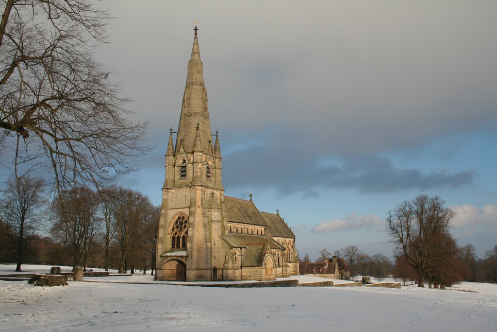
St Mary's, Studley Royal

The Church of St Mary, Studley Royal, is a Victorian Gothic Revival church built in the Early English style by William Burges. It is located in the grounds...

Fountains Hall

Fountains Hall is a country house near Ripon in North Yorkshire, England, located within the World Heritage Site at Studley Royal Park which include the...

Fountains Abbey

Fountains Abbey is one of the largest and best preserved ruined Cistercian monasteries in England. It is located approximately 3 miles (5 km) south-west...

Risplith

Risplith is a village in the civil parish of Sawley, in the Harrogate district of North Yorkshire, England. It is about 4 miles (6.4 km) west of Ripon...

Ripon and Pateley Bridge Rural District

Ripon and Pateley Bridge was a rural district in the West Riding of Yorkshire, England from 1937 to 1974. It was created in 1937 by a County Review Order...

Winksley

Winksley is a small village and civil parish in the district of Harrogate, North Yorkshire, England. It is situated west of Ripon, and is on the River...

Sawley, North Yorkshire

Sawley is a village and civil parish in the Harrogate district of North Yorkshire, England. It is about 4 miles (6.4 km) west of Ripon. From this position...

Nearby Amenities

Located within 500m of 54.119266,-1.5905638
Post Box
Brand: Royal Mail
Brand Wikidata: Q638098
Collection Times: Mo-Fr 16:00; Sa 10:15
Operator: Royal Mail
Operator Wikidata: Q638098
Post Box Type: wall
Ref: HG4 26
Royal Cypher: VR
Royal Cypher Wikidata: Q33102356
Lat/Long: 54.1202429/-1.5946826
Barrier: kissing_gate
Lat/Long: 54.1196231/-1.5981515
The data included in this document is from www.openstreetmap.org. The data is made available under ODbL.

Have you been to Aldfield Plantation?

Leave your review of Aldfield Plantation below (or comments, questions and feedback).