Aldfield

Civil Parish in Yorkshire Harrogate

England

Aldfield

Woodhouse Bridge This old stone bridge is a route over the river Laver from Fountains to Winksley or Galphay. Entering Galphay woods and in turn leading to Brathwaite Hall and Kirkby Malzeard. Lovely quiet place to have lunch and listen to the birds etc.
Woodhouse Bridge Credit: roger nightingale

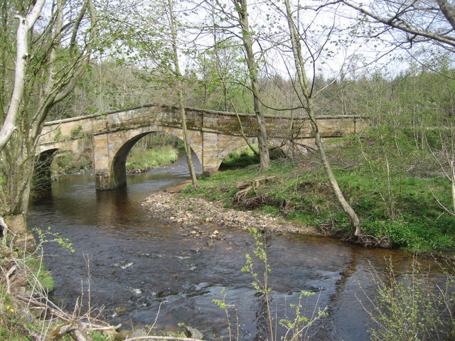
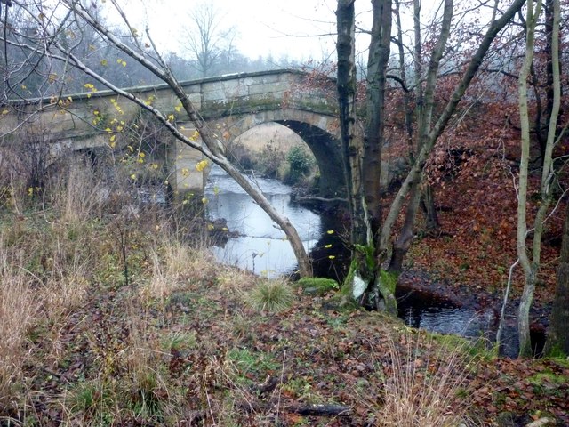
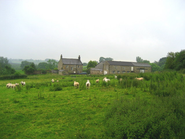
Aldfield is a civil parish located in the Harrogate district of North Yorkshire, England. Covering an area of about 2.5 square miles, it is situated approximately 5 miles west of Ripon and 6 miles east of Masham. The parish consists of a small village surrounded by picturesque countryside, with the River Laver running through the area.

Aldfield is a historic settlement, mentioned in the Domesday Book of 1086 as "Aldefeld." It has retained much of its traditional charm and character over the centuries. The village is known for its beautiful stone-built houses and quaint cottages, which add to its rural appeal.

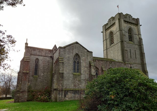
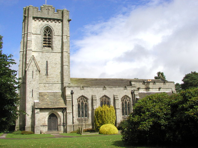
The centerpiece of Aldfield is the St. Lawrence Church, a Grade II listed building dating back to the 12th century. The church features an impressive Norman doorway and a picturesque churchyard, offering a peaceful spot for reflection.

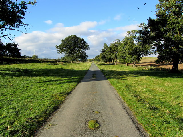
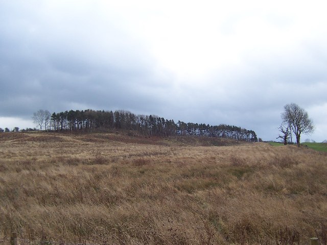
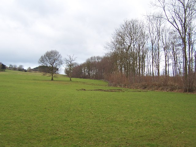
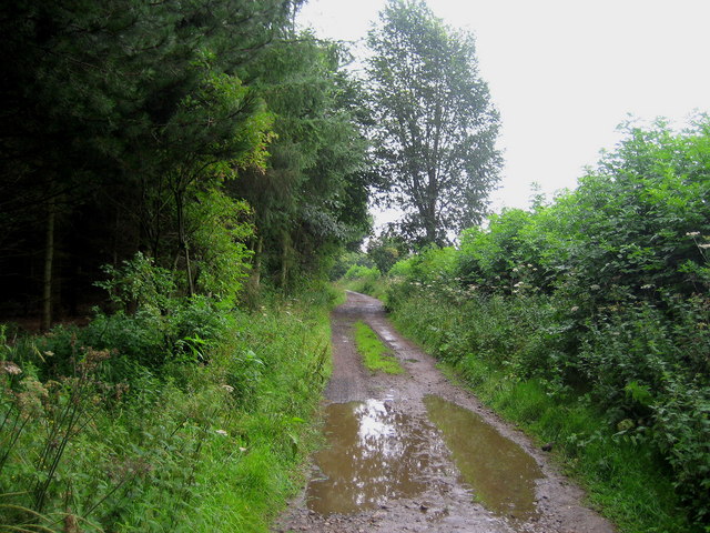
The surrounding countryside offers ample opportunities for outdoor activities, such as walking, cycling, and birdwatching. The area is known for its scenic beauty, with rolling hills, farmland, and woodlands providing an idyllic backdrop.

Aldfield enjoys a close-knit community, with a small population of around 100 residents. The village lacks extensive amenities, but nearby towns like Ripon and Masham provide essential services and amenities for the local residents.

Overall, Aldfield is a charming and tranquil civil parish, offering a slice of rural life in the heart of Yorkshire.

If you have any feedback on the listing, please let us know in the comments section below.
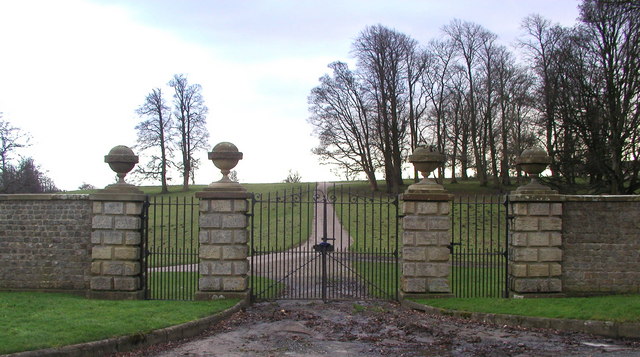
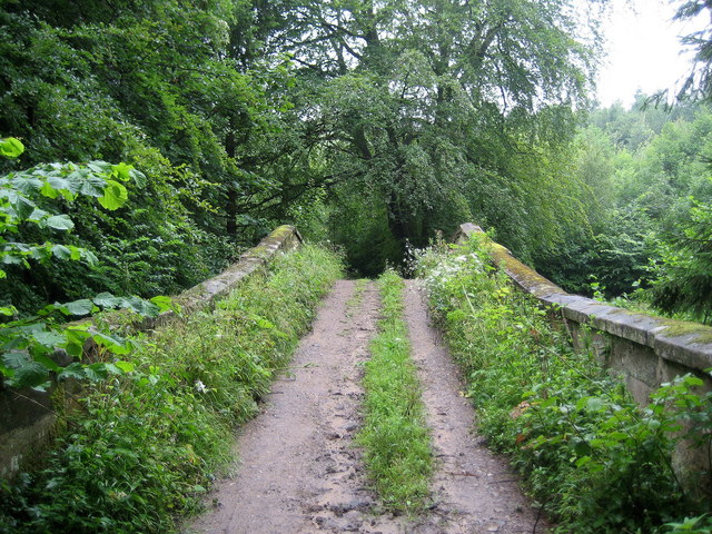
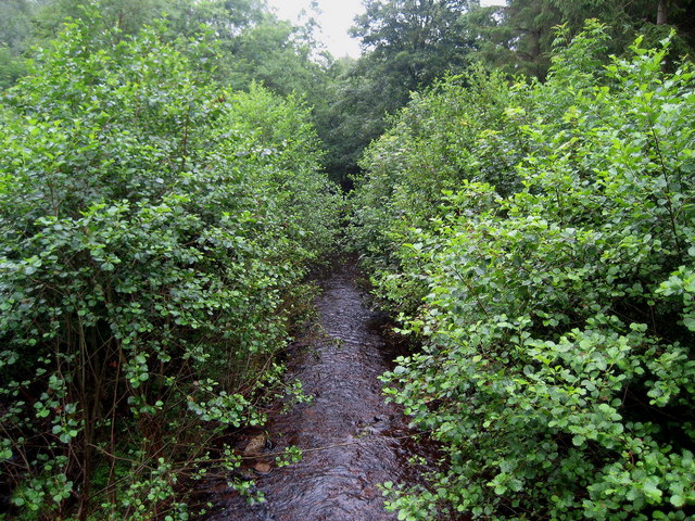
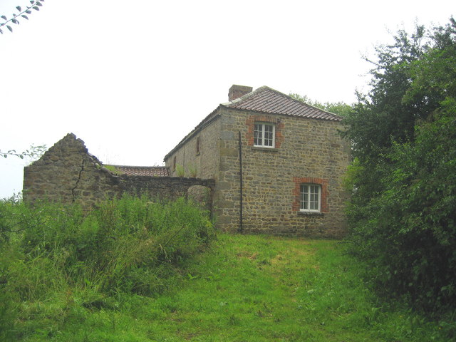
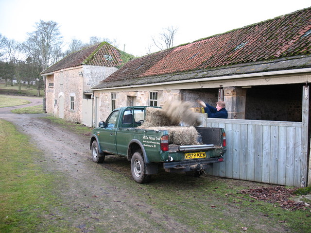
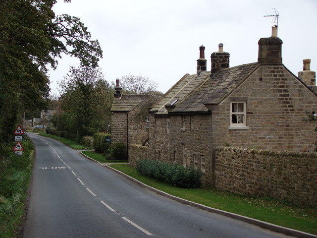
Aldfield Images

Images are sourced within 2km of 54.12124/-1.601844 or Grid Reference SE2669. Thanks to Geograph Open Source API. All images are credited.

Woodhouse Bridge This old stone bridge is a route over the river Laver from Fountains to Winksley or Galphay. Entering Galphay woods and in turn leading to Brathwaite Hall and Kirkby Malzeard. Lovely quiet place to have lunch and listen to the birds etc.
Woodhouse Bridge
This old stone bridge is a route over the river Laver from Fountains to Winksley or Galphay. Entering Galphay woods and in turn leading to Brathwaite Hall and Kirkby Malzeard. Lovely quiet place to have lunch and listen to the birds etc.
Access Lane to Low Lindrick An arrow straight access lane leaves the B6265 and runs north for almost a kilometre to reach Low Lindrick
Access Lane to Low Lindrick
An arrow straight access lane leaves the B6265 and runs north for almost a kilometre to reach Low Lindrick
Woodhouse Bridge On the route of the Aislabie Walk long distance footpath
Woodhouse Bridge
On the route of the Aislabie Walk long distance footpath
Winksley, St Cuthbert and St Oswald church The benchmark is cut into the 2nd course of stone at the rear of the church.
Winksley, St Cuthbert and St Oswald church
The benchmark is cut into the 2nd course of stone at the rear of the church.
Winksley, St Cuthbert and St Oswald There is a benchmark cut into the 2nd course of stone at the rear of the church, on the buttress to the left of the furthest left window.
Winksley, St Cuthbert and St Oswald
There is a benchmark cut into the 2nd course of stone at the rear of the church, on the buttress to the left of the furthest left window.
Winksley Church
Winksley Church
Plantation remnants near Winksley The map I was using indicated that this area should have been covered with trees - as can be seen there are not many left. This is about half a mile south of the village of Winksley
Plantation remnants near Winksley
The map I was using indicated that this area should have been covered with trees - as can be seen there are not many left. This is about half a mile south of the village of Winksley
Southern part of Winksley Plantation Pleasant woodlands not far from Fountains Abbey
Southern part of Winksley Plantation
Pleasant woodlands not far from Fountains Abbey
Ornate Gates at Studley Royal These gates are on the northern edge of Studley Royal Park next to the B6265.
Ornate Gates at Studley Royal
These gates are on the northern edge of Studley Royal Park next to the B6265.
Woodhouse Bridge Elaborate structure that takes this track over the River Laver in thick woodland near Winksley.
Woodhouse Bridge
Elaborate structure that takes this track over the River Laver in thick woodland near Winksley.
River Laver from Woodhouse Bridge The river at this point flows through very heavily vegetated woodland.
River Laver from Woodhouse Bridge
The river at this point flows through very heavily vegetated woodland.
Wood House Isolated residence beside thick woodland near Winksley.
Wood House
Isolated residence beside thick woodland near Winksley.
Track by Foster Field After a heavy downpour the track runs along the edge of a plantation on Foster Field, near Winksley.
Track by Foster Field
After a heavy downpour the track runs along the edge of a plantation on Foster Field, near Winksley.
Laver Banks Farm Surrounded by pasture to the east of Winksley village.
Laver Banks Farm
Surrounded by pasture to the east of Winksley village.
Rough Bridge, Studley Park Made to look older than it is, Rough Bridge is another one of Aisaby's follies. It crosses the top of "the Dale", but leads no-where.
Rough Bridge, Studley Park
Made to look older than it is, Rough Bridge is another one of Aisaby's follies. It crosses the top of "the Dale", but leads no-where.
Slaughter House & Barns Positioned against the Park wall, the Slaughter House is where culled deer are prepared for local butchers, and would originally have been used to prepare meat for the big house (now long since demolished). The attached barns once stored tractors and other machinery, but have been converted back to hay barns, to store winter feed for the deer.
The clock on the end of the building is correct twice a day, as it stopped working many years ago.
Slaughter House & Barns
Positioned against the Park wall, the Slaughter House is where culled deer are prepared for local butchers, and would originally have been used to prepare meat for the big house (now long since demolished). The attached barns once stored tractors and other machinery, but have been converted back to hay barns, to store winter feed for the deer. The clock on the end of the building is correct twice a day, as it stopped working many years ago.
Loading winter feed at the barn. NT staff loading winter feed for the Studley Park deer herd at the barns next to the slaughterhouse.
Loading winter feed at the barn.
NT staff loading winter feed for the Studley Park deer herd at the barns next to the slaughterhouse.
Fallow Buck, Studley Park Handsome looking fallow buck. There is a large herd of fallow deer in Studley Park.
Fallow Buck, Studley Park
Handsome looking fallow buck. There is a large herd of fallow deer in Studley Park.
Show me another place!

Aldfield is located at Grid Ref: SE2669 (Lat: 54.12124, Lng: -1.601844)

Division: West Riding

Administrative County: North Yorkshire

District: Harrogate

Police Authority: North Yorkshire

What 3 Words

///remembers.acquaint.conceals. Near Ripon, North Yorkshire

Related Wikis

Aldfield

Aldfield is a village and civil parish in the former Harrogate district of North Yorkshire, England, about three miles west of Ripon. It is the closest...

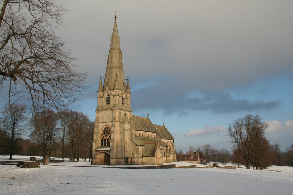
St Mary's, Studley Royal

The Church of St Mary, Studley Royal, is a Victorian Gothic Revival church built in the Early English style by William Burges. It is located in the grounds...

Risplith

Risplith is a village in the civil parish of Sawley, in the Harrogate district of North Yorkshire, England. It is about 4 miles (6.4 km) west of Ripon...

Fountains Hall

Fountains Hall is a country house near Ripon in North Yorkshire, England, located within the World Heritage Site at Studley Royal Park which include the...

Ripon and Pateley Bridge Rural District

Ripon and Pateley Bridge was a rural district in the West Riding of Yorkshire, England from 1937 to 1974. It was created in 1937 by a County Review Order...

Fountains Abbey

Fountains Abbey is one of the largest and best preserved ruined Cistercian monasteries in England. It is located approximately 3 miles (5 km) south-west...

Winksley

Winksley is a small village and civil parish in the district of Harrogate, North Yorkshire, England. It is situated west of Ripon, and is on the River...

Grantley Hall

Grantley Hall is a English country house located in North Yorkshire, England. It is situated near Grantley, about 5 miles (8 km) to the west of Ripon,...

Nearby Amenities

Located within 500m of 54.12124,-1.601844
Aldfield
Place: hamlet
Lat/Long: 54.119527/-1.6008924
Post Box
Brand: Royal Mail
Brand Wikidata: Q638098
Collection Times: Mo-Fr 16:00; Sa 10:15
Operator: Royal Mail
Operator Wikidata: Q638098
Post Box Type: wall
Ref: HG4 26
Royal Cypher: VR
Royal Cypher Wikidata: Q33102356
Lat/Long: 54.1202429/-1.5946826
Telephone
Booth: K6
Covered: booth
Lat/Long: 54.1194715/-1.5983159
Barrier: stile
Material: wood
Step Count: 2
Stile: stepover
Lat/Long: 54.1199721/-1.5983717
Barrier: stile
Material: wood
Step Count: 2
Stile: stepover
Lat/Long: 54.1198515/-1.5982959
Barrier: kissing_gate
Lat/Long: 54.1196231/-1.5981515
Power: pole
Lat/Long: 54.124364/-1.6033669
Power: pole
Lat/Long: 54.123468/-1.6034353
Power: pole
Lat/Long: 54.1227654/-1.603505
Power: pole
Lat/Long: 54.1221885/-1.603564
Spa Ghyll Farm
Place: farm
Lat/Long: 54.1184173/-1.6004473
Barrier: stile
Material: wood
Step Count: 1
Stile: stepover
Lat/Long: 54.122281/-1.60019
Barrier: cattle_grid
Lat/Long: 54.1244064/-1.6035043
The data included in this document is from www.openstreetmap.org. The data is made available under ODbL.

Have you been to Aldfield?

Leave your review of Aldfield below (or comments, questions and feedback).