Alderwasley

Civil Parish in Derbyshire Amber Valley

England

Alderwasley

Farm buildings near Belper SK328493. Looking south-west from Longwalls Lane. The northern tip of Handley Wood is visible to the left.
Farm buildings near Belper Credit: Adam Foster

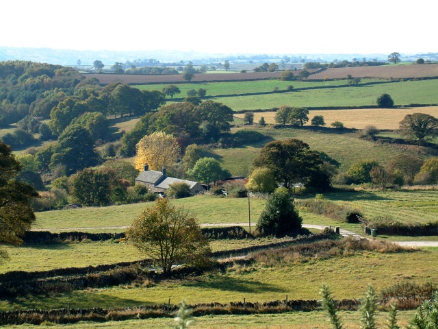
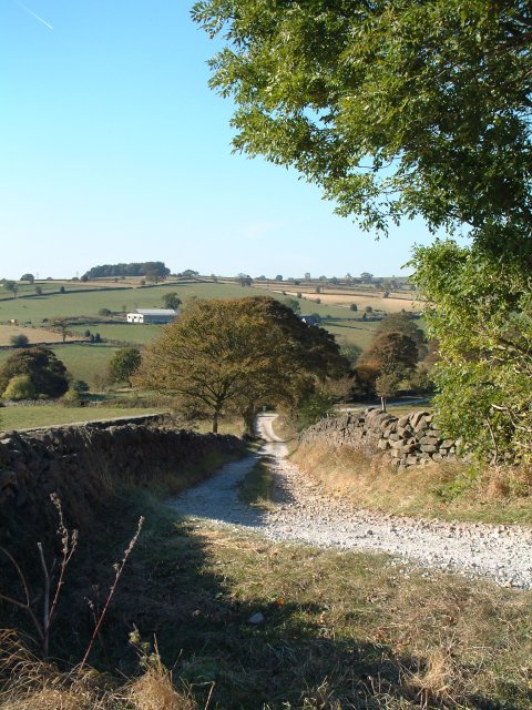
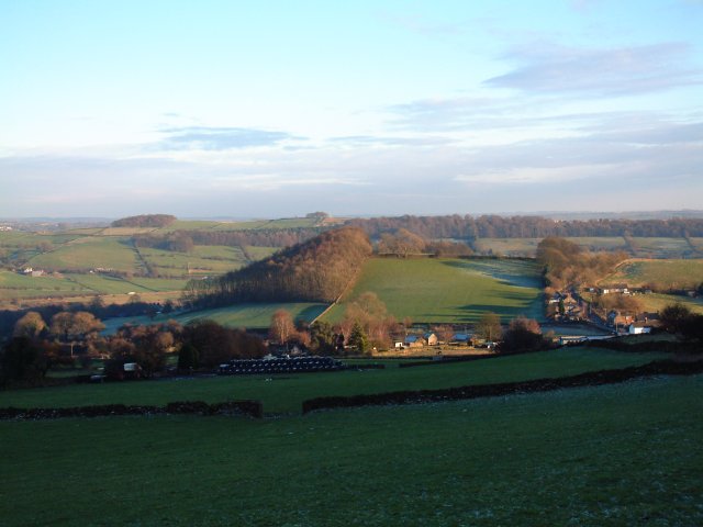
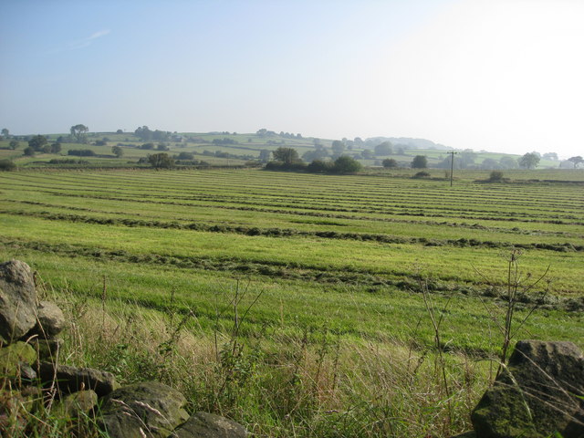
Alderwasley is a civil parish located in the county of Derbyshire, England. Situated in the Amber Valley district, the parish covers an area of approximately 4.5 square miles. The village of Alderwasley is nestled within the picturesque Derbyshire Dales, offering residents and visitors stunning views of the surrounding countryside.

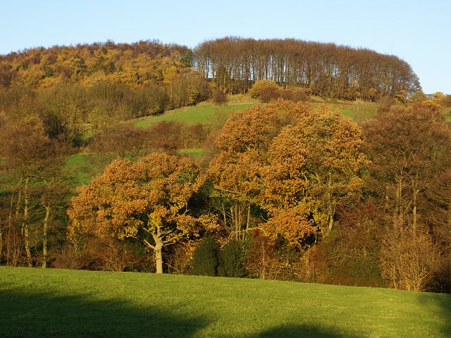
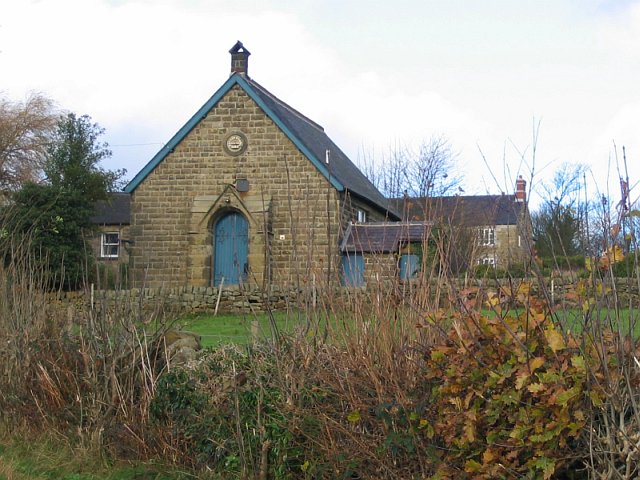
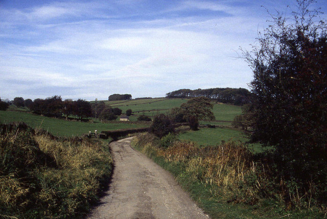
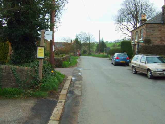
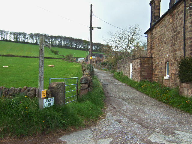
The parish is predominantly rural, with a population of around 300 people. It is known for its beautiful landscapes, rolling hills, and quaint cottages. The village itself is small but charming, with a mix of traditional stone houses and modern buildings. There is a sense of community in Alderwasley, with various social events and activities organized throughout the year.

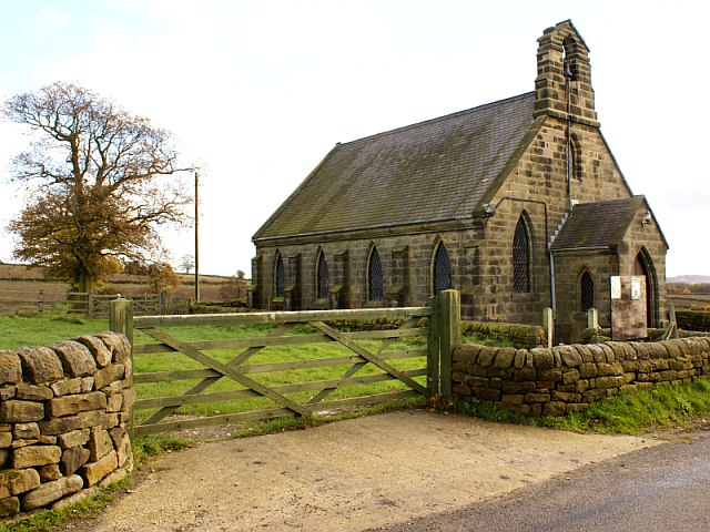
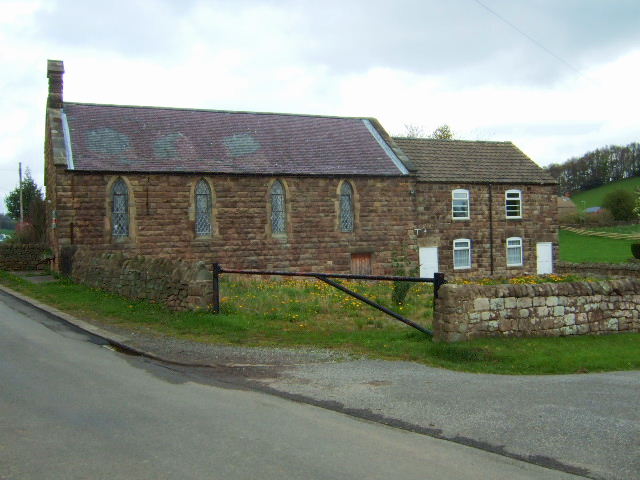
Alderwasley is home to several historic buildings, including the Grade II listed Alderwasley Hall, which dates back to the 16th century. The hall is surrounded by well-maintained gardens and provides a glimpse into the area's rich history.

The parish is well-connected, with good transport links to nearby towns and cities. The bustling market town of Wirksworth is just a short drive away, offering a range of amenities and services. Additionally, the Peak District National Park is within easy reach, providing opportunities for outdoor activities such as hiking, cycling, and horse riding.

Overall, Alderwasley is a peaceful and picturesque civil parish in Derbyshire, offering residents and visitors a tranquil retreat within the stunning Derbyshire Dales.

If you have any feedback on the listing, please let us know in the comments section below.
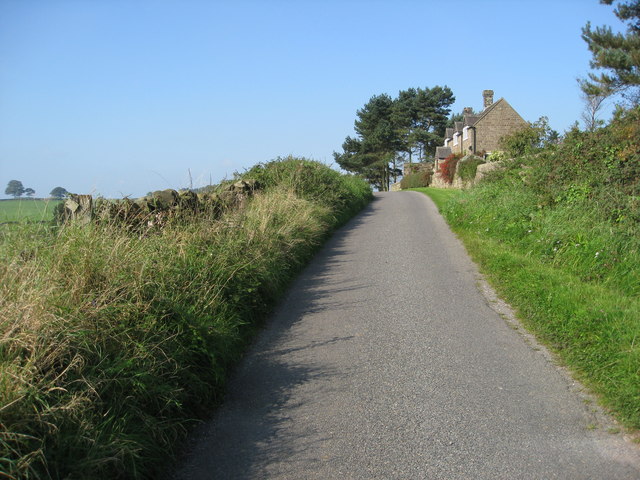
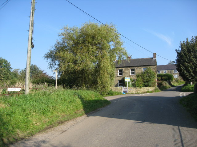
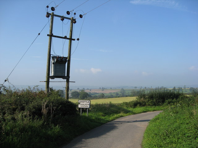
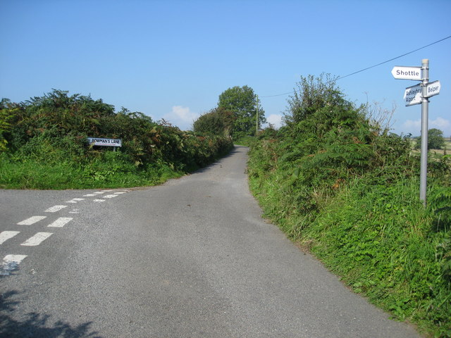
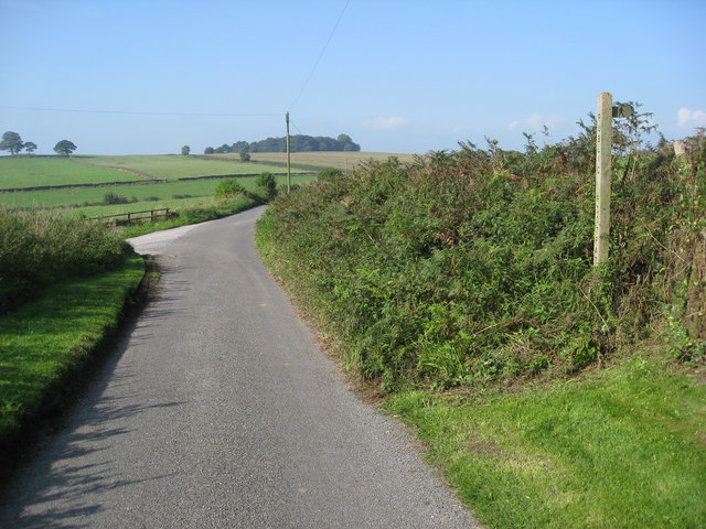
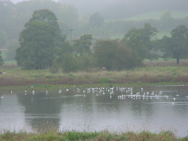
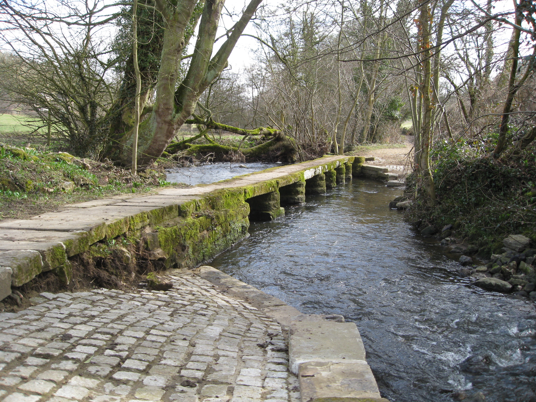
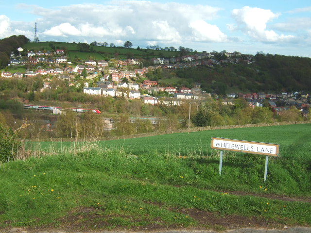
Alderwasley Images

Images are sourced within 2km of 53.045535/-1.511767 or Grid Reference SK3249. Thanks to Geograph Open Source API. All images are credited.

Farm buildings near Belper SK328493. Looking south-west from Longwalls Lane. The northern tip of Handley Wood is visible to the left.
Farm buildings near Belper
SK328493. Looking south-west from Longwalls Lane. The northern tip of Handley Wood is visible to the left.
Looking south along Longwalls Lane, part of the Midshires Way
View south-east of Belper Lane End Grid reference given is of the centre of the village; photographer position is the slightly off-square SK333494 (sorry!)
View south-east of Belper Lane End
Grid reference given is of the centre of the village; photographer position is the slightly off-square SK333494 (sorry!)
Wyver Lane Nature Reserve Important wetland reserve in landlocked Derbyshire.
<span class="nowrap"><a title="http://www.derbyshirewildlifetrust.org.uk/index.php?section=places:reserves&reserveid=297" rel="nofollow ugc noopener" href="http://www.derbyshirewildlifetrust.org.uk/index.php?section=places:reserves&reserveid=297">Link</a><img style="margin-left:2px;" alt="External link" title="External link - shift click to open in new window" src="https://s1.geograph.org.uk/img/external.png" width="10" height="10"/></span>
A misty October day but hopefully gives a feel of the bird life here
Wyver Lane Nature Reserve
Important wetland reserve in landlocked Derbyshire. LinkExternal link A misty October day but hopefully gives a feel of the bird life here
Fungi near Wyver Lane footpath Earth Star (Geastrum triplex). The reserve is not just about birds.
Fungi near Wyver Lane footpath
Earth Star (Geastrum triplex). The reserve is not just about birds.
Handley Wood The footpath from Plains Lane leads down over Black Brook, shown by the first line of trees, up to Handley Woods. Further north, Plains Lane appears to end in a farmyard. Had I been brave enough to open the gate, maybe I would have found my way to Lambhouse Lane!
Handley Wood
The footpath from Plains Lane leads down over Black Brook, shown by the first line of trees, up to Handley Woods. Further north, Plains Lane appears to end in a farmyard. Had I been brave enough to open the gate, maybe I would have found my way to Lambhouse Lane!
St Lawrence Church, Shottle This church is off Lambhouse Lane. There is also a Methodist chapel <a href="https://www.geograph.org.uk/photo/285181">SK3149 : Methodist chapel, Shottle</a> further up the lane.
St Lawrence Church, Shottle
This church is off Lambhouse Lane. There is also a Methodist chapel SK3149 : Methodist chapel, Shottle further up the lane.
Methodist chapel, Shottle This methodist chapel no longer appears on modern maps. Presumably, it has been converted to domestic housing?
Methodist chapel, Shottle
This methodist chapel no longer appears on modern maps. Presumably, it has been converted to domestic housing?
Track above Belper Lane End We were following this track northwards to the west and above Belper Lane End.  This is part of the Midshires Way.  At the time I was assisting my brother in following the long distance footpath, which runs from the Ridgeway in the south to Stockport in the north
Track above Belper Lane End
We were following this track northwards to the west and above Belper Lane End. This is part of the Midshires Way. At the time I was assisting my brother in following the long distance footpath, which runs from the Ridgeway in the south to Stockport in the north
Dalley Lane Looking due south from Belper Lane End
Dalley Lane
Looking due south from Belper Lane End
Jesses Lane The stone cottages on Jesses Lane, a footpath leads up to the trees on the skyline.
Jesses Lane
The stone cottages on Jesses Lane, a footpath leads up to the trees on the skyline.
Belper  Lane end Chapel This is now disused and up for sale.
Belper Lane end Chapel
This is now disused and up for sale.
Freshly mown fields near Shottle
Wilderbrook Lane - View in the general direction of Shottle
Shottle - Lambhouse Lane
Shottle - Heavygate Lane
Heavygate Lane junction with Bowman's Lane
Wilderbrook Lane - View in the general direction of Shottle
Show me another place!

Alderwasley is located at Grid Ref: SK3249 (Lat: 53.045535, Lng: -1.511767)

Administrative County: Derbyshire

District: Amber Valley

Police Authority: Derbyshire

What 3 Words

///home.recitals.magazines. Near Belper, Derbyshire

Nearby Locations

Alderwasley Street's Wood

Related Wikis

Nearby Amenities

Located within 500m of 53.045535,-1.511767
Ele: 249
Lat/Long: 53.0444251/-1.5108632
Ele: 255
Lat/Long: 53.0414385/-1.5110289
Barrier: stile
Stile: squeezer
Lat/Long: 53.0431637/-1.5097125
Power: pole
Lat/Long: 53.0453565/-1.5087055
Power: pole
Lat/Long: 53.0443828/-1.5116353
wp052
Ele: 255
Lat/Long: 53.0448261/-1.5104452
wp053
Ele: 254
Lat/Long: 53.0446322/-1.5108498
Power: pole
Lat/Long: 53.0441387/-1.513755
Barrier: stile
Material: stone
Stile: squeezer
Lat/Long: 53.0455564/-1.5119569
Barrier: stile
Material: wood
Source: survey;gps
Stile: stepover
Lat/Long: 53.0457285/-1.5119653
Barrier: stile
Material: stone
Stile: squeezer
Lat/Long: 53.0463818/-1.5125934
Barrier: stile
Material: stone
Stile: squeezer
Lat/Long: 53.0474423/-1.5145174
Barrier: stile
Material: stone
Stile: squeezer
Lat/Long: 53.0485326/-1.5169032
Barrier: stile
Stile: squeezer
Lat/Long: 53.0412558/-1.5117925
Barrier: stile
Material: wood
Steps: 1
Stile: stepover
Lat/Long: 53.0411898/-1.5134657
Barrier: stile
Stile: squeezer
Lat/Long: 53.0411681/-1.5124311
Barrier: stile
Stile: squeezer
Lat/Long: 53.0419227/-1.5110064
Barrier: stile
Stile: squeezer
Lat/Long: 53.0444143/-1.5108437
Barrier: stile
Stile: squeezer
Lat/Long: 53.0425834/-1.5090238
Barrier: stile
Stile: squeezer
Lat/Long: 53.0418891/-1.5083033
Power: pole
Lat/Long: 53.0440788/-1.5178559
Power: pole
Lat/Long: 53.0440921/-1.5170214
Power: pole
Lat/Long: 53.0441055/-1.5162114
Power: pole
Lat/Long: 53.0441272/-1.5154555
Power: pole
Lat/Long: 53.0441406/-1.5146603
Power: pole
Lat/Long: 53.0441514/-1.5130943
Power: pole
Lat/Long: 53.0448477/-1.5102193
Power: pole
Lat/Long: 53.0450897/-1.5094914
Power: pole
Lat/Long: 53.0456351/-1.5078518
Power: pole
Lat/Long: 53.0458495/-1.506965
Power: pole
Lat/Long: 53.0460882/-1.506143
Power: pole
Lat/Long: 53.0462748/-1.5054366
Power: pole
Lat/Long: 53.0464983/-1.5047635
Barrier: stile
Material: stone
Source: survey;gps
Stile: squeezer
Lat/Long: 53.0418412/-1.5137717
Barrier: stile
Material: wood
Source: survey;gps
Stile: stepover
Lat/Long: 53.043108/-1.5137332
Barrier: stile
Material: stone
Source: survey;gps
Stile: squeezer
Lat/Long: 53.0453156/-1.5117018
Power: pole
Lat/Long: 53.0478947/-1.5064625
Power: pole
Lat/Long: 53.04751/-1.5075601
Power: pole
Lat/Long: 53.047117/-1.5087042
Generator Method: wind_turbine
Generator Source: wind
Power: generator
Lat/Long: 53.0480647/-1.509155
The data included in this document is from www.openstreetmap.org. The data is made available under ODbL.

Have you been to Alderwasley?

Leave your review of Alderwasley below (or comments, questions and feedback).