Street's Wood

Wood, Forest in Derbyshire Amber Valley

England

Street's Wood

Farm buildings near Belper SK328493. Looking south-west from Longwalls Lane. The northern tip of Handley Wood is visible to the left.
Farm buildings near Belper Credit: Adam Foster

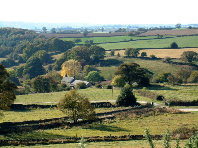
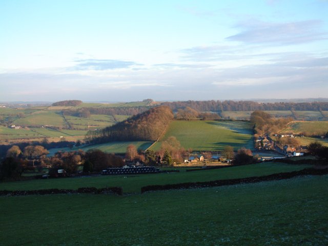
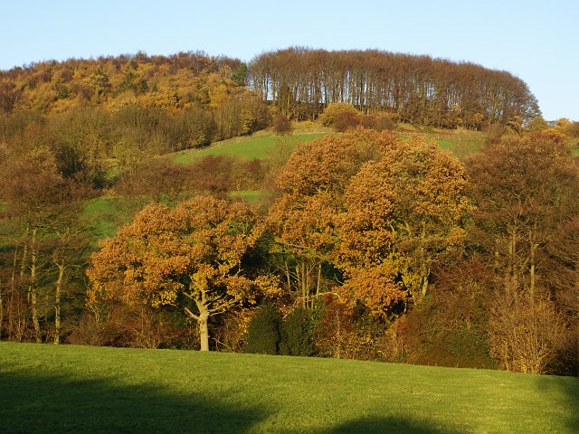
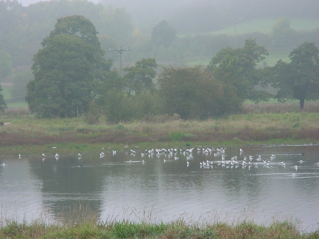
Street's Wood is a pristine woodland located in the county of Derbyshire, England. Covering an area of approximately 50 hectares, this enchanting forest is nestled within the rural landscape of the Peak District National Park. The wood is characterized by its diverse flora and fauna, making it an important ecological habitat.

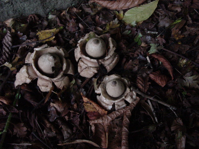
The woodland consists mainly of native broadleaf trees such as oak, beech, and ash, which create a dense canopy overhead. This provides shelter for a wide array of wildlife, including deer, badgers, foxes, and a variety of bird species. Additionally, the forest floor is carpeted with an assortment of wildflowers and ferns, adding to its natural beauty.

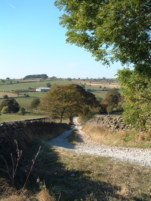
Walking through Street's Wood, visitors can enjoy a network of well-maintained paths that meander through the forest, offering a peaceful and tranquil experience. These paths lead to hidden clearings and secluded spots, perfect for picnics or simply immersing oneself in the tranquility of nature. The wood is also home to a small pond, which attracts a variety of aquatic life and adds to the overall charm of the area.

Street's Wood is a popular destination for nature enthusiasts, hikers, and photographers. Its breathtaking beauty, coupled with its peaceful atmosphere, makes it an ideal location for those seeking a retreat from the hustle and bustle of city life. The wood is easily accessible by foot or car, with ample parking available nearby.

If you have any feedback on the listing, please let us know in the comments section below.

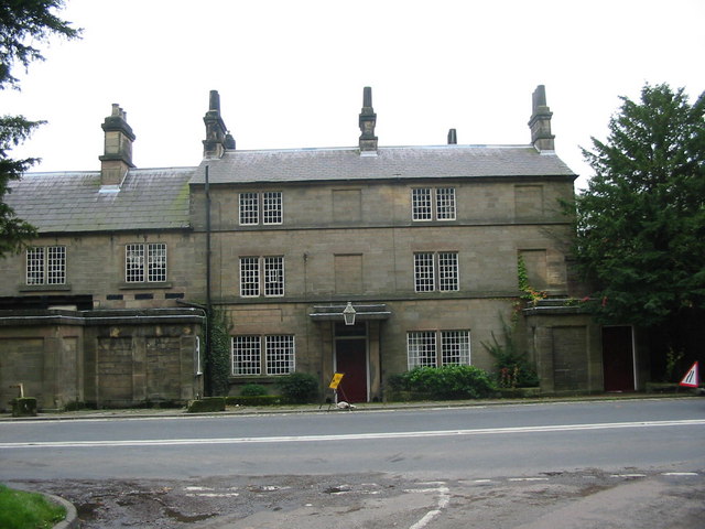
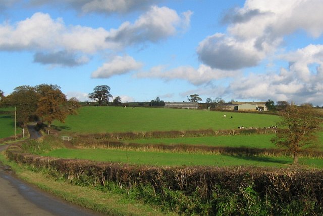
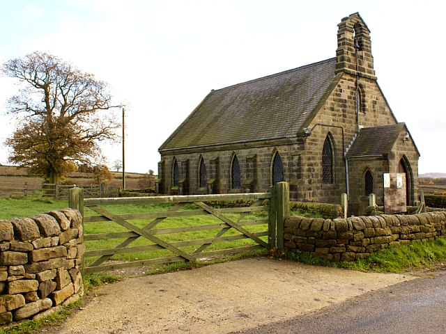
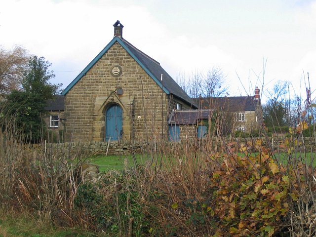
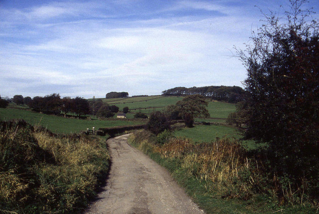
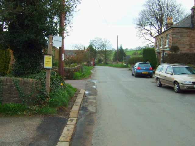
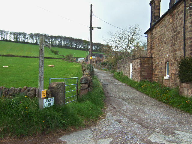
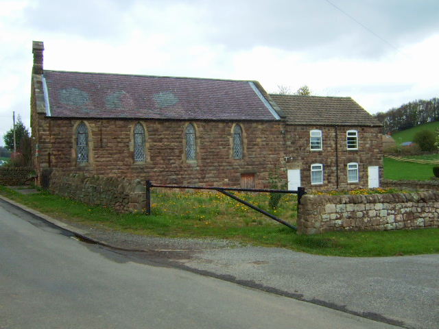
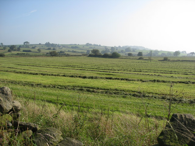
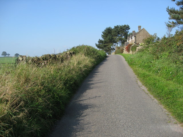
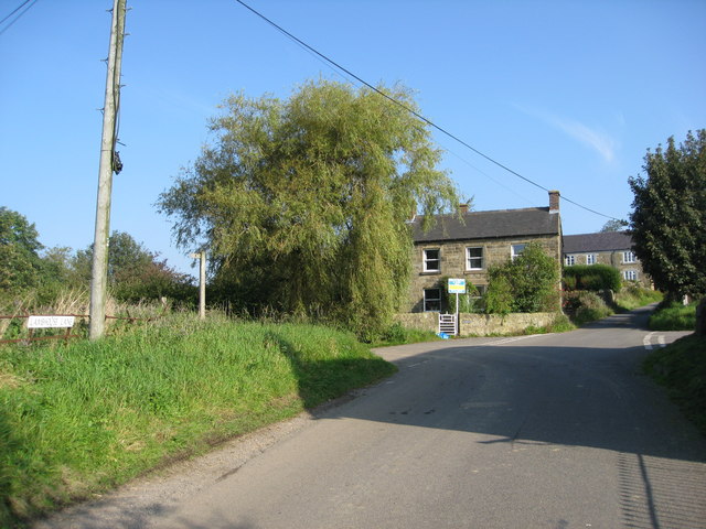
Street's Wood Images

Images are sourced within 2km of 53.041052/-1.5100298 or Grid Reference SK3249. Thanks to Geograph Open Source API. All images are credited.

Farm buildings near Belper SK328493. Looking south-west from Longwalls Lane. The northern tip of Handley Wood is visible to the left.
Farm buildings near Belper
SK328493. Looking south-west from Longwalls Lane. The northern tip of Handley Wood is visible to the left.
Looking south along Longwalls Lane, part of the Midshires Way
View south-east of Belper Lane End Grid reference given is of the centre of the village; photographer position is the slightly off-square SK333494 (sorry!)
View south-east of Belper Lane End
Grid reference given is of the centre of the village; photographer position is the slightly off-square SK333494 (sorry!)
Wyver Lane Nature Reserve Important wetland reserve in landlocked Derbyshire.
<span class="nowrap"><a title="http://www.derbyshirewildlifetrust.org.uk/index.php?section=places:reserves&reserveid=297" rel="nofollow ugc noopener" href="http://www.derbyshirewildlifetrust.org.uk/index.php?section=places:reserves&reserveid=297">Link</a><img style="margin-left:2px;" alt="External link" title="External link - shift click to open in new window" src="https://s1.geograph.org.uk/img/external.png" width="10" height="10"/></span>
A misty October day but hopefully gives a feel of the bird life here
Wyver Lane Nature Reserve
Important wetland reserve in landlocked Derbyshire. LinkExternal link A misty October day but hopefully gives a feel of the bird life here
Fungi near Wyver Lane footpath Earth Star (Geastrum triplex). The reserve is not just about birds.
Fungi near Wyver Lane footpath
Earth Star (Geastrum triplex). The reserve is not just about birds.
Crossroads Farm at Blackbrook As the name suggests this farm sits on a busy crossroads on the main road between Belper and Ashbourne.
Crossroads Farm at Blackbrook
As the name suggests this farm sits on a busy crossroads on the main road between Belper and Ashbourne.
Handley Wood The footpath from Plains Lane leads down over Black Brook, shown by the first line of trees, up to Handley Woods. Further north, Plains Lane appears to end in a farmyard. Had I been brave enough to open the gate, maybe I would have found my way to Lambhouse Lane!
Handley Wood
The footpath from Plains Lane leads down over Black Brook, shown by the first line of trees, up to Handley Woods. Further north, Plains Lane appears to end in a farmyard. Had I been brave enough to open the gate, maybe I would have found my way to Lambhouse Lane!
White House Farm and fields The buildings of White House Farm can be seen across the fields. A footpath crosses Lambhouse Lane in a dip in the road.
White House Farm and fields
The buildings of White House Farm can be seen across the fields. A footpath crosses Lambhouse Lane in a dip in the road.
St Lawrence Church, Shottle This church is off Lambhouse Lane. There is also a Methodist chapel <a href="https://www.geograph.org.uk/photo/285181">SK3149 : Methodist chapel, Shottle</a> further up the lane.
St Lawrence Church, Shottle
This church is off Lambhouse Lane. There is also a Methodist chapel SK3149 : Methodist chapel, Shottle further up the lane.
Methodist chapel, Shottle This methodist chapel no longer appears on modern maps. Presumably, it has been converted to domestic housing?
Methodist chapel, Shottle
This methodist chapel no longer appears on modern maps. Presumably, it has been converted to domestic housing?
Track above Belper Lane End We were following this track northwards to the west and above Belper Lane End.  This is part of the Midshires Way.  At the time I was assisting my brother in following the long distance footpath, which runs from the Ridgeway in the south to Stockport in the north
Track above Belper Lane End
We were following this track northwards to the west and above Belper Lane End. This is part of the Midshires Way. At the time I was assisting my brother in following the long distance footpath, which runs from the Ridgeway in the south to Stockport in the north
Belper - A517 Bridge Foot View
Dalley Lane Looking due south from Belper Lane End
Dalley Lane
Looking due south from Belper Lane End
Jesses Lane The stone cottages on Jesses Lane, a footpath leads up to the trees on the skyline.
Jesses Lane
The stone cottages on Jesses Lane, a footpath leads up to the trees on the skyline.
Belper  Lane end Chapel This is now disused and up for sale.
Belper Lane end Chapel
This is now disused and up for sale.
Freshly mown fields near Shottle
Wilderbrook Lane - View in the general direction of Shottle
Shottle - Lambhouse Lane
Show me another place!

Street's Wood is located at Grid Ref: SK3249 (Lat: 53.041052, Lng: -1.5100298)

Administrative County: Derbyshire

District: Amber Valley

Police Authority: Derbyshire

What 3 Words

///item.deeper.unionists. Near Belper, Derbyshire

Nearby Locations

Alderwasley Street's Wood

Related Wikis

Belper Lane End

Belper Lane End is a village in the civil parish of Belper, in the Amber Valley district, in the county of Derbyshire, England. == History == Belper lane...

Wyver

Wyver is a locality within Belper civil parish, which is in the Amber Valley district of Derbyshire, England. The area takes up the western bank of the...

Shottle

Shottle is a village approximately 3 miles (4.8 km) south of the market town of Wirksworth in Derbyshire. The population of the civil parish (Shottle and...

Shottle and Postern

Shottle and Postern is a civil parish within the Amber Valley district, which is in the county of Derbyshire, England. Sparsely built up with much rural...

Belper North Mill

Belper North Mill, also known as Strutt's North Mill in Belper, is one of the Derwent Valley Mills, given UNESCO World Heritage Status in 2001. The mill...

Belper Town F.C.

Belper Town Football Club is a football club based in Belper, Derbyshire, England. They are currently members of the Northern Premier League Division One...

Belper United F.C.

Belper United Football Club is a football club based in Belper, Derbyshire, England. They are currently members of the United Counties League Premier Division...

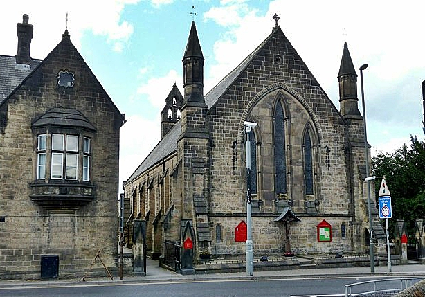
Christ Church, Belper

Christ Church is a Grade II listed parish church in the Church of England in Belper, Derbyshire. == History == The church was built to the designs of the...

Nearby Amenities

Located within 500m of 53.041052,-1.5100298
Belper Lane End
Is In: Derbyshire, England, UK
Place: village
Wikidata: Q4884649
Lat/Long: 53.0411173/-1.5037722
Ele: 250
Lat/Long: 53.0386889/-1.5099361
Ele: 247
Lat/Long: 53.0385148/-1.5098441
Ele: 249
Lat/Long: 53.0444251/-1.5108632
Ele: 255
Lat/Long: 53.0414385/-1.5110289
Barrier: stile
Stile: squeezer
Lat/Long: 53.0431637/-1.5097125
Power: pole
Lat/Long: 53.0453565/-1.5087055
Power: pole
Lat/Long: 53.0443828/-1.5116353
wp052
Ele: 255
Lat/Long: 53.0448261/-1.5104452
wp053
Ele: 254
Lat/Long: 53.0446322/-1.5108498
Power: pole
Lat/Long: 53.0441387/-1.513755
Barrier: stile
Lat/Long: 53.0392017/-1.5040268
Barrier: stile
Stile: squeezer
Lat/Long: 53.0376741/-1.5057087
Bus Stop
Bus: yes
Naptan AtcoCode: 1000DBLE5861
Naptan NaptanCode: dbsgjwam
Public Transport: platform
Lat/Long: 53.0408637/-1.5037587
Public Bookcase
Booth: K6
Colour: red
Disused Amenity: telephone
Man Made: telephone_box
Public Bookcase Type: phone_box
Lat/Long: 53.0404304/-1.5039493
Barrier: stile
Stile: squeezer
Lat/Long: 53.0408067/-1.5061908
Post Box
Brand: Royal Mail
Brand Wikidata: Q638098
Brand Wikipedia: en:Royal Mail
Operator: Royal Mail
Operator Wikidata: Q638098
Post Box Type: lamp
Ref: DE56 530
Lat/Long: 53.0411844/-1.5036719
Ele: 140.4774170
Information: board
Tourism: information
Lat/Long: 53.0418651/-1.504015
Passing Place
Lat/Long: 53.0431358/-1.503439
Barrier: stile
Material: stone
Stile: squeezer
Lat/Long: 53.040761/-1.5151337
Barrier: stile
Stile: squeezer
Lat/Long: 53.0412558/-1.5117925
Barrier: stile
Material: wood
Steps: 1
Stile: stepover
Lat/Long: 53.0411898/-1.5134657
Barrier: stile
Stile: squeezer
Lat/Long: 53.0411681/-1.5124311
Barrier: stile
Stile: squeezer
Lat/Long: 53.0405492/-1.5109865
Barrier: stile
Stile: squeezer
Lat/Long: 53.0419227/-1.5110064
Barrier: stile
Stile: squeezer
Lat/Long: 53.0444143/-1.5108437
Barrier: stile
Stile: squeezer
Lat/Long: 53.0425834/-1.5090238
Barrier: stile
Stile: squeezer
Lat/Long: 53.0418891/-1.5083033
Power: pole
Lat/Long: 53.0441272/-1.5154555
Power: pole
Lat/Long: 53.0441406/-1.5146603
Power: pole
Lat/Long: 53.0441514/-1.5130943
Power: pole
Lat/Long: 53.0448477/-1.5102193
Power: pole
Lat/Long: 53.0450897/-1.5094914
Barrier: stile
Steps: 1
Stile: stepover
Lat/Long: 53.0388953/-1.5150196
Barrier: stile
Material: stone
Source: survey;gps
Stile: squeezer
Lat/Long: 53.0373903/-1.5119809
Barrier: stile
Material: stone
Source: survey;gps
Stile: squeezer
Lat/Long: 53.0418412/-1.5137717
Barrier: stile
Material: wood
Source: survey;gps
Stile: stepover
Lat/Long: 53.043108/-1.5137332
Barrier: stile
Material: stone
Source: survey;gps
Stile: squeezer
Lat/Long: 53.0453156/-1.5117018
Barrier: stile
Material: stone
Stile: squeezer
Lat/Long: 53.0410529/-1.5133996
Barrier: stile
Lat/Long: 53.0382365/-1.5088817
Barrier: stile
Lat/Long: 53.0376415/-1.5078542
Generator Method: photovoltaic
Generator Output Electricity: yes
Generator Source: solar
Generator Type: solar_photovoltaic_panel
Power: generator
Lat/Long: 53.0423815/-1.5040758
Barrier: stile
Material: stone
Source: survey;gps
Stile: stepover
Lat/Long: 53.0407414/-1.5097098
Leisure: picnic_table
Lat/Long: 53.0411454/-1.5038882
Leisure: picnic_table
Lat/Long: 53.0411148/-1.5038852
Street Lamp
Lat/Long: 53.0409865/-1.5026992
Street Lamp
Lat/Long: 53.0411802/-1.5036382
Man Made: utility_pole
Utility: telecom
Lat/Long: 53.0411724/-1.5035635
Man Made: utility_pole
Utility: telecom
Lat/Long: 53.0408479/-1.5037648
Man Made: utility_pole
Utility: telecom
Lat/Long: 53.040401/-1.5039597
Street Lamp
Lat/Long: 53.0407122/-1.5038334
Leisure: outdoor_seating
Lat/Long: 53.0411823/-1.504442
Leisure: outdoor_seating
Lat/Long: 53.0411009/-1.5041792
Barrier: stile
Material: stone
Source: survey;gps
Stile: stepover
Lat/Long: 53.0385147/-1.5097709
Barrier: stile
Material: wood
Source: survey;gps
Stile: squeezer
Lat/Long: 53.0407284/-1.5165854
Ford: yes
Lat/Long: 53.0386758/-1.5156665
Barrier: entrance
Source: survey;gps
Lat/Long: 53.0386559/-1.515722
The data included in this document is from www.openstreetmap.org. The data is made available under ODbL.

Have you been to Street's Wood?

Leave your review of Street's Wood below (or comments, questions and feedback).