Clip'd Thorn Hill
Hill, Mountain in Yorkshire Harrogate
England
Clip'd Thorn Hill
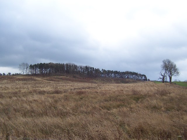
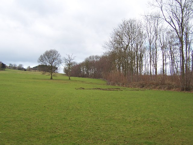
Clip'd Thorn Hill is located in Yorkshire, England and is a prominent hill in the region. Rising to an elevation of approximately 600 meters, it offers stunning panoramic views of the surrounding landscape. The hill is situated within the Yorkshire Dales National Park, a designated area of natural beauty known for its picturesque scenery and diverse wildlife.
The terrain of Clip'd Thorn Hill is characterized by its steep slopes and rocky outcrops, which provide a challenging yet rewarding hiking experience for outdoor enthusiasts. The hill is covered in lush green grass and scattered with heather, creating a vibrant tapestry of colors during the summer months.
At the summit of Clip'd Thorn Hill, visitors will be greeted with breathtaking vistas of the rolling hills and valleys below. On clear days, it is even possible to see as far as the distant peaks of the Yorkshire Moors and the Lake District. The hill is a popular spot for photographers, as the ever-changing light and weather conditions create a dynamic and captivating backdrop.
Wildlife enthusiasts will also find plenty to explore on Clip'd Thorn Hill. The area is home to a variety of bird species, including peregrine falcons and golden eagles, as well as rare plants and flowers that thrive in the unique microclimate of the hill.
Overall, Clip'd Thorn Hill offers a truly immersive and awe-inspiring experience for nature lovers and adventurers alike. Its natural beauty and stunning vistas make it a must-visit destination for anyone exploring the Yorkshire Dales.
If you have any feedback on the listing, please let us know in the comments section below.
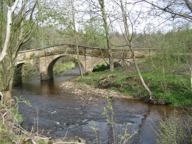
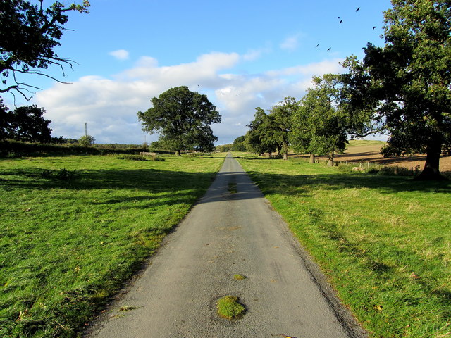
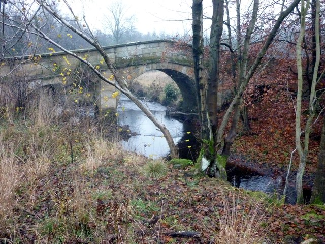
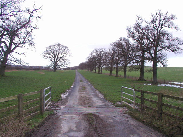
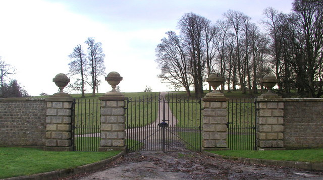
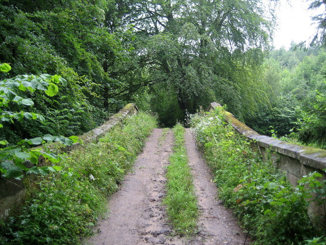
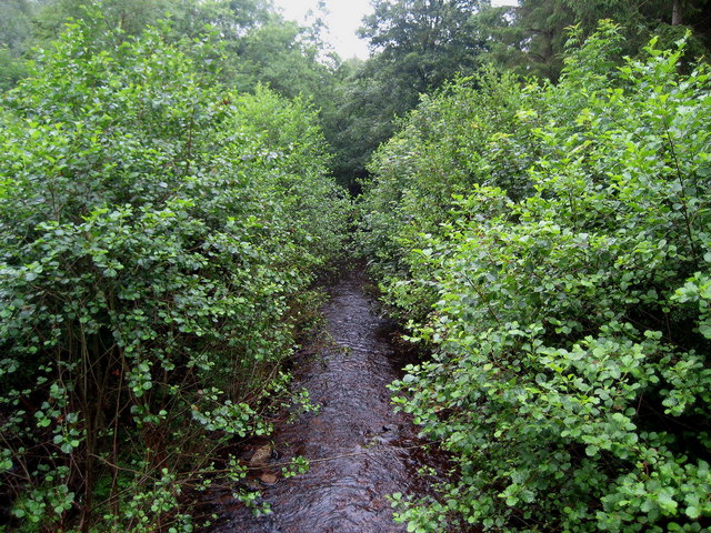
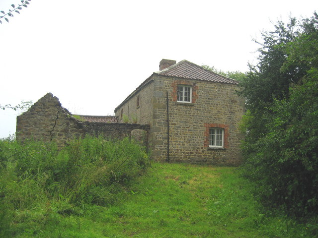
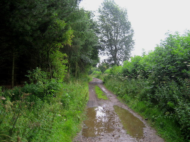
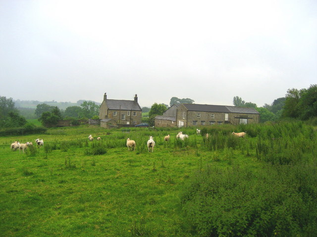
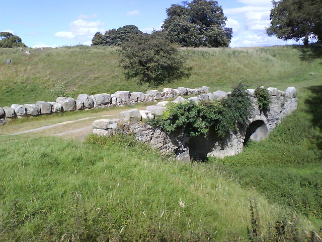
Clip'd Thorn Hill Images
Images are sourced within 2km of 54.123026/-1.6022776 or Grid Reference SE2669. Thanks to Geograph Open Source API. All images are credited.


Clip'd Thorn Hill is located at Grid Ref: SE2669 (Lat: 54.123026, Lng: -1.6022776)
Division: West Riding
Administrative County: North Yorkshire
District: Harrogate
Police Authority: North Yorkshire
What 3 Words
///online.character.worlds. Near Ripon, North Yorkshire
Nearby Locations
Related Wikis

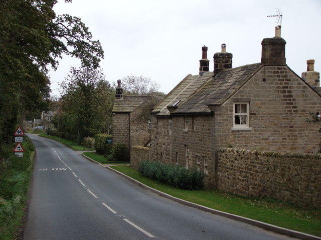
Aldfield
Aldfield is a village and civil parish in the former Harrogate district of North Yorkshire, England, about three miles west of Ripon. It is the closest...
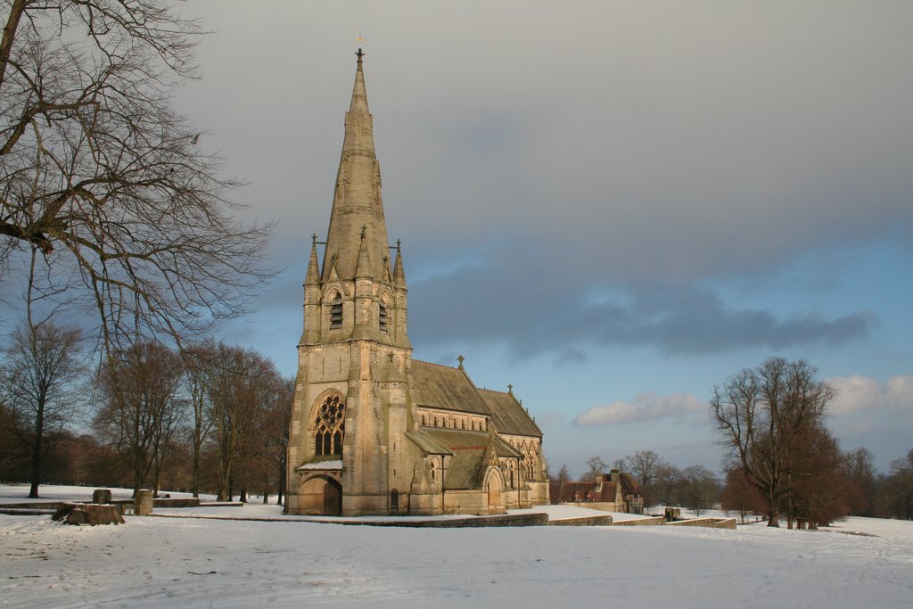
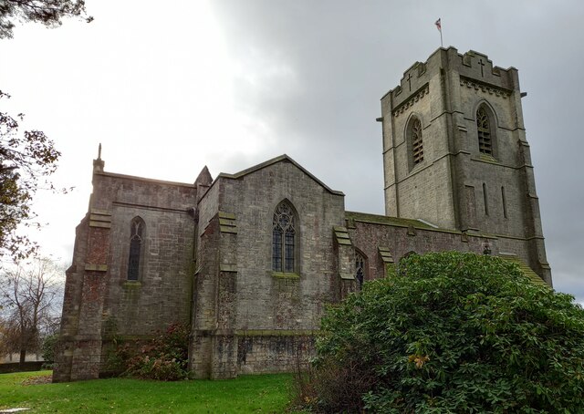
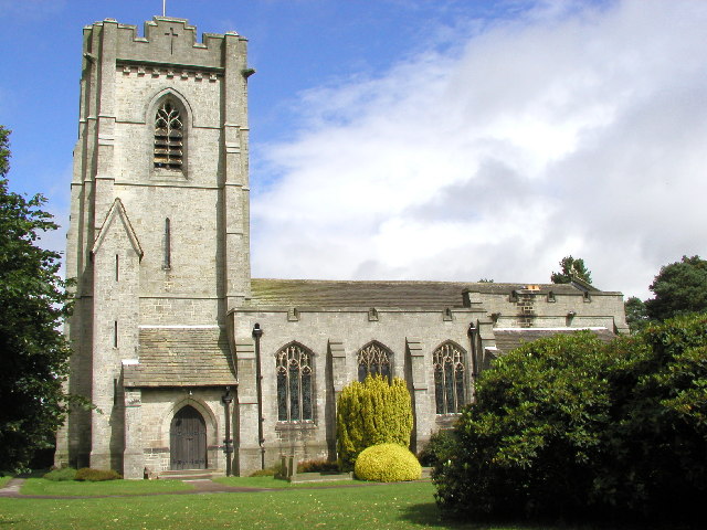
St Mary's, Studley Royal
The Church of St Mary, Studley Royal, is a Victorian Gothic Revival church built in the Early English style by William Burges. It is located in the grounds...
Risplith
Risplith is a village in the civil parish of Sawley, in the Harrogate district of North Yorkshire, England. It is about 4 miles (6.4 km) west of Ripon...

Winksley
Winksley is a small village and civil parish in the district of Harrogate, North Yorkshire, England. It is situated west of Ripon, and is on the River...

Fountains Hall
Fountains Hall is a country house near Ripon in North Yorkshire, England, located within the World Heritage Site at Studley Royal Park which include the...

Ripon and Pateley Bridge Rural District
Ripon and Pateley Bridge was a rural district in the West Riding of Yorkshire, England from 1937 to 1974. It was created in 1937 by a County Review Order...

Grantley Hall
Grantley Hall is a English country house located in North Yorkshire, England. It is situated near Grantley, about 5 miles (8 km) to the west of Ripon,...

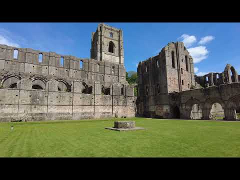
Fountains Abbey
Fountains Abbey is one of the largest and best preserved ruined Cistercian monasteries in England. It is located approximately 3 miles (5 km) south-west...
Related Videos

Walking the corridors and sitting rooms of Grantley Hall
Read our full blog on TrovenTrip... https://www.troventrip.com/blog/grantley-hall-yorkshire-dales/ Even just walking the corridors ...

Walking Outside Fountain Abbeys in Ripon England #walkingoutsidefountainsabbey
Walking Outside Fountain Abbeys in Ripon England #walkingoutsidefountainsabbey 00:01 Walking outside Fountain Abbey's ...
Walking Around Fountains Abbey and Studley Royal Water Garden
Ancient ruins of Fountains Abbey have for centuries, drawn people to this inspiring place. From humble beginnings, the ...
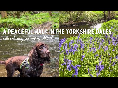
Relaxing Springtime Walk through Yorkshire Woodland | English Countryside | ASMR | Walk with Me
Thank you for taking the time to watch my video. Join me as I share the highlights from a peaceful walk along the river Skell, near ...
Nearby Amenities
Located within 500m of 54.123026,-1.6022776Have you been to Clip'd Thorn Hill?
Leave your review of Clip'd Thorn Hill below (or comments, questions and feedback).