Beech Grove

Wood, Forest in Oxfordshire West Oxfordshire

England

Beech Grove

Houses on Sheep Street, Burford
Houses on Sheep Street, Burford Credit: AJD

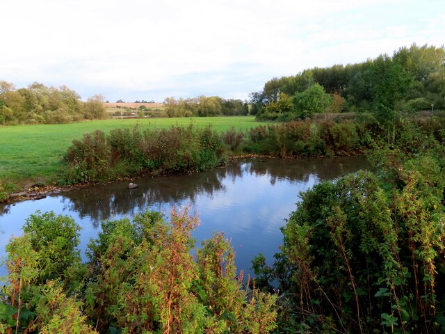
Beech Grove, located in Oxfordshire, England, is a picturesque woodland area characterized by its dense population of beech trees. Spanning over a vast area and comprising of a diverse ecosystem, this forest offers visitors a serene and tranquil escape from the bustling urban life.

The beech trees, which give the grove its name, dominate the landscape with their impressive height and lush foliage. Known for their smooth, silver-gray trunks and vibrant green leaves, these majestic trees create a canopy that provides shade and shelter for a variety of wildlife.

The forest floor is covered with a thick carpet of fallen leaves, creating a beautiful mosaic of colors during the autumn months. Walking through the grove, one can discover a multitude of plant species, including bluebells, foxgloves, and ferns, adding to the overall enchanting atmosphere of the forest.

Beech Grove is not only a sanctuary for flora but also a haven for many animal species. Birdwatchers will be delighted to spot an array of birdlife, including woodpeckers, nuthatches, and tawny owls. Additionally, the grove is home to a diverse range of mammals, such as deer, foxes, and badgers, which can occasionally be spotted by lucky observers.

A network of well-maintained trails winds its way through the grove, providing visitors with the opportunity to explore the woodland's beauty at their own pace. Whether it's a leisurely stroll or an adventurous hike, Beech Grove offers an idyllic setting that caters to all nature enthusiasts.

In conclusion, Beech Grove in Oxfordshire is a captivating woodland area that presents visitors with an immersive experience in nature. With its stunning beech trees, vibrant flora, and diverse wildlife, it is a natural gem that showcases the beauty and biodiversity of the English countryside.

If you have any feedback on the listing, please let us know in the comments section below.
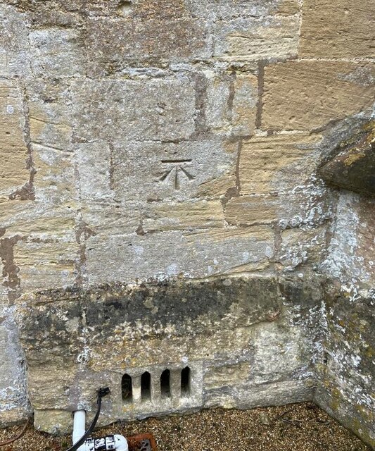
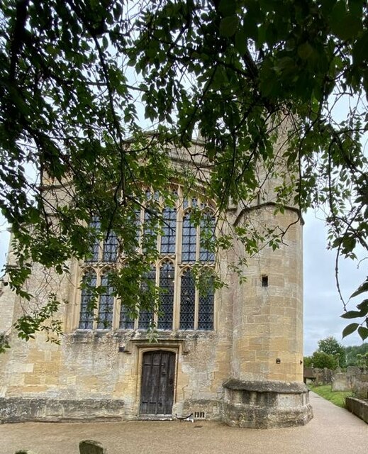
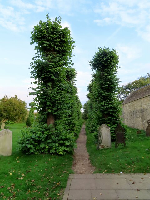
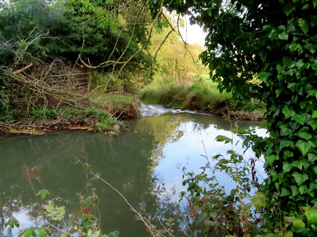
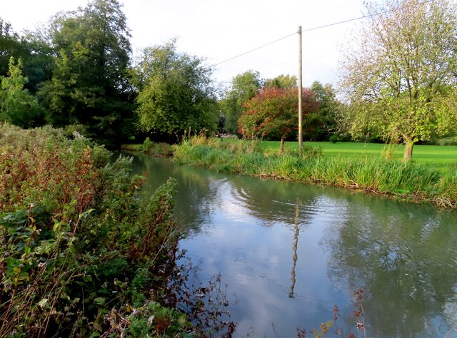
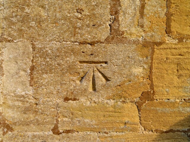
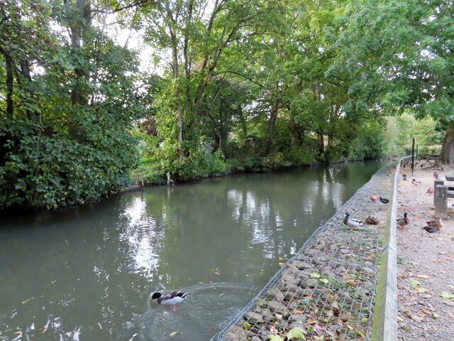
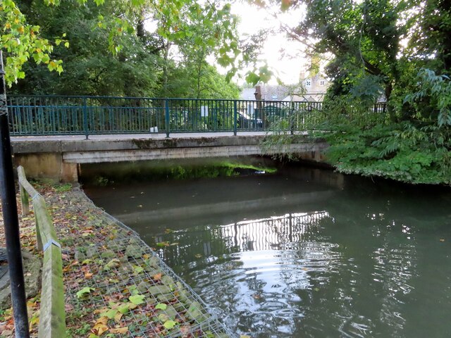
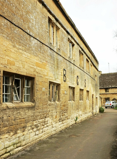
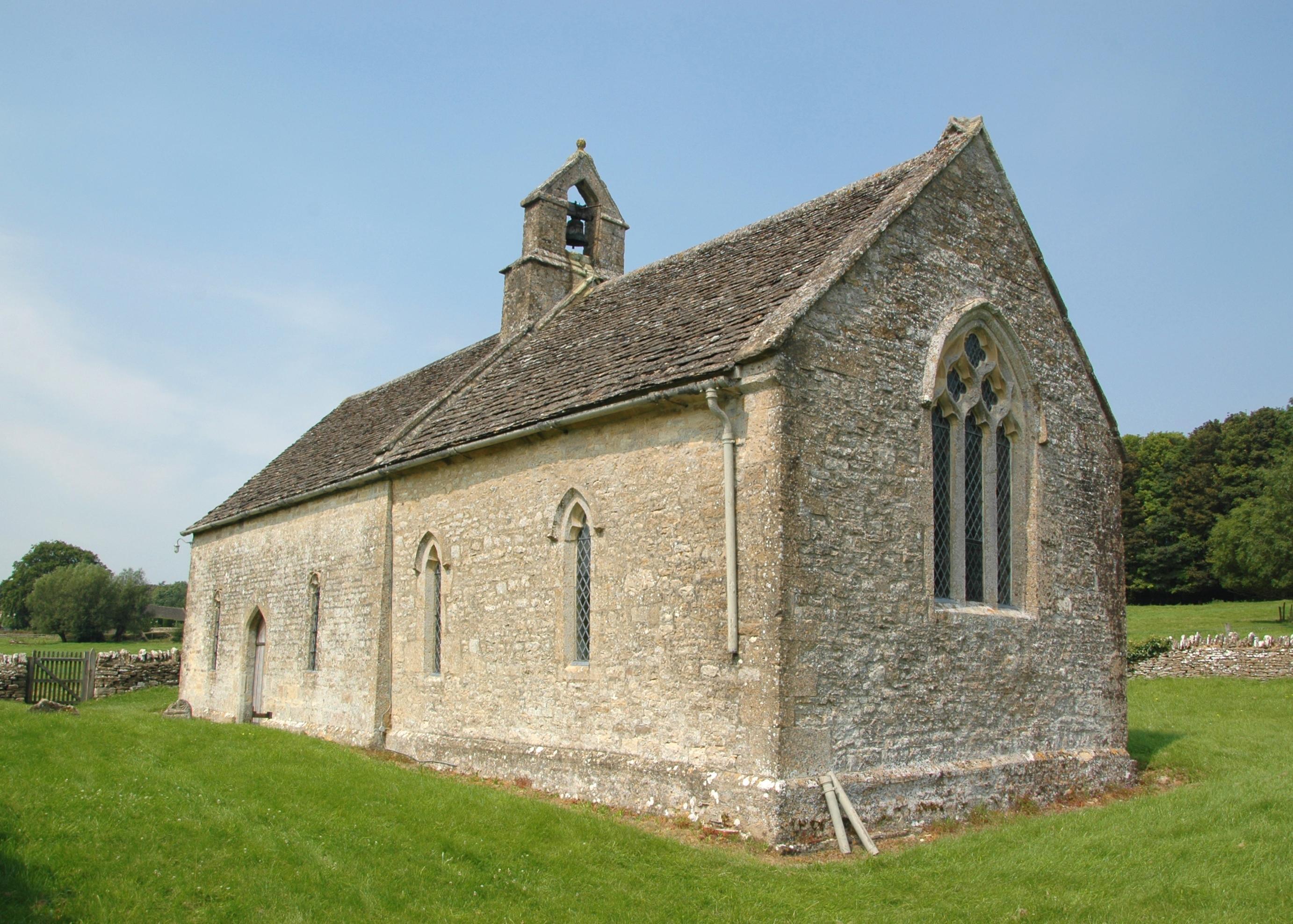
Beech Grove Images

Images are sourced within 2km of 51.811708/-1.6118769 or Grid Reference SP2612. Thanks to Geograph Open Source API. All images are credited.

Houses on Sheep Street, Burford
Church of St John the Baptist, Burford
Belford, St John's The clear benchmark is on the west face of the church, and is cut into the 4th or 5th stone course
Belford, St John's
The clear benchmark is on the west face of the church, and is cut into the 4th or 5th stone course
Belford, St John's This is the west face of St John's Baptist church at Belford. Between the wooden door and the tower there is a benchmark cut into the stone work, and is about 2 to 3 foot from ground level.
Belford, St John's
This is the west face of St John's Baptist church at Belford. Between the wooden door and the tower there is a benchmark cut into the stone work, and is about 2 to 3 foot from ground level.
Tree lined path in St John's churchyard
St John's church in Burford
The River Windrush in Burford
St John's church in Burford
Benchmark on St John's church
St John's church in Burford
The River Windrush in Burford
Burford: church from car park Not the most conventional view of the grade I listed church <span class="nowrap"><a title="https://historicengland.org.uk/listing/the-list/list-entry/1053287" rel="nofollow ugc noopener" href="https://historicengland.org.uk/listing/the-list/list-entry/1053287">Link</a><img style="margin-left:2px;" alt="External link" title="External link - shift click to open in new window" src="https://s1.geograph.org.uk/img/external.png" width="10" height="10"/></span> , well-covered by images at <a title="https://www.geograph.org.uk/search.php?i=151944636&page=2" href="https://www.geograph.org.uk/search.php?i=151944636&page=2">Link</a> .
Burford: church from car park
Not the most conventional view of the grade I listed church LinkExternal link , well-covered by images at Link .
Burford: church from car park Taken a few metres from <a href="https://www.geograph.org.uk/photo/7095868">SP2512 : Burford: church from car park</a>, and cropped on the grade I listed church <span class="nowrap"><a title="https://historicengland.org.uk/listing/the-list/list-entry/1053287" rel="nofollow ugc noopener" href="https://historicengland.org.uk/listing/the-list/list-entry/1053287">Link</a><img style="margin-left:2px;" alt="External link" title="External link - shift click to open in new window" src="https://s1.geograph.org.uk/img/external.png" width="10" height="10"/></span> . <span class="nowrap"><a title="https://www.victoriacountyhistory.ac.uk/explore/sites/explore/files/explore_assets/2010/03/19/Burford_church_for_EPE_site.pdf" rel="nofollow ugc noopener" href="https://www.victoriacountyhistory.ac.uk/explore/sites/explore/files/explore_assets/2010/03/19/Burford_church_for_EPE_site.pdf">Link</a><img style="margin-left:2px;" alt="External link" title="External link - shift click to open in new window" src="https://s1.geograph.org.uk/img/external.png" width="10" height="10"/></span> provides a historical approach to the architecture. The spire, for instance, partially fell in 1703 and 1707, and "further repairs to the spire were needed in 1824".
Burford: church from car park
Taken a few metres from SP2512 : Burford: church from car park, and cropped on the grade I listed church LinkExternal link . LinkExternal link provides a historical approach to the architecture. The spire, for instance, partially fell in 1703 and 1707, and "further repairs to the spire were needed in 1824".
B G S, Burford The initials of Burford Grammar School are spelled out by three tie rods <span class="nowrap"><a title="https://historicengland.org.uk/listing/the-list/list-entry/1267149?section=official-listing" rel="nofollow ugc noopener" href="https://historicengland.org.uk/listing/the-list/list-entry/1267149?section=official-listing">Link</a><img style="margin-left:2px;" alt="External link" title="External link - shift click to open in new window" src="https://s1.geograph.org.uk/img/external.png" width="10" height="10"/></span> . The building is grade II* listed.
B G S, Burford
The initials of Burford Grammar School are spelled out by three tie rods LinkExternal link . The building is grade II* listed.
Show me another place!

Beech Grove is located at Grid Ref: SP2612 (Lat: 51.811708, Lng: -1.6118769)

Administrative County: Oxfordshire

District: West Oxfordshire

Police Authority: Thames Valley

What 3 Words

///canoe.happily.gadget. Near Burford, Oxfordshire

Nearby Locations

Beech Grove

Related Wikis

Swinbrook and Widford

Swinbrook and Widford is a civil parish in West Oxfordshire district, in the county of Oxfordshire, England. It comprises the village of Swinbrook and...

Widford, Oxfordshire

Widford is a deserted medieval village on the River Windrush about 1.5 miles (2.4 km) east of Burford in West Oxfordshire. The village was an exclave of...

Fulbrook, Oxfordshire

Fulbrook is a village and civil parish immediately northeast of Burford in West Oxfordshire. The 2011 Census recorded the parish's population as 437....

Swinbrook

Swinbrook is a village and former civil parish, now in the parish of Swinbrook and Widford, in the West Oxfordshire district, in the county of Oxfordshire...

Church of St John the Baptist, Burford

The Anglican Church of St John the Baptist in Burford, Oxfordshire, England is a Grade I listed building.The Church of England parish church is dedicated...

Burford Methodist Church

Burford Methodist Church is a baroque building in the High Street of Burford, Oxfordshire. It was built between about 1715 and 1730 as a private house...

Burford

Burford () is a town on the River Windrush, in the Cotswold hills, in the West Oxfordshire district of Oxfordshire, England. It is often referred to as...

Tolsey Museum

The Tolsey Museum is a local museum in the town of Burford, west Oxfordshire, England. It is located in a Tudor style structure, known as The Tolsey, which...

Nearby Amenities

Located within 500m of 51.811708,-1.6118769
Power: pole
Lat/Long: 51.8147172/-1.6094434
Power: pole
Lat/Long: 51.8140838/-1.6107148
Power: pole
Lat/Long: 51.8133658/-1.6121618
Power: pole
Lat/Long: 51.8123095/-1.613692
Power: pole
Lat/Long: 51.8113527/-1.6150868
Power: pole
Lat/Long: 51.8104489/-1.6164038
Power: pole
Lat/Long: 51.8103817/-1.6184369
Power: pole
Lat/Long: 51.8103229/-1.617655
Power: pole
Lat/Long: 51.811414/-1.6168597
Power: pole
Lat/Long: 51.8126992/-1.6178387
Power: pole
Lat/Long: 51.8134184/-1.6103878
Power: pole
Lat/Long: 51.8134732/-1.6086529
Power: pole
Lat/Long: 51.813531/-1.6067382
Power: pole
Lat/Long: 51.8136162/-1.6135297
Power: pole
Lat/Long: 51.8138455/-1.6149359
Power: pole
Lat/Long: 51.8139979/-1.6157827
Power: pole
Lat/Long: 51.8154251/-1.6081152
The data included in this document is from www.openstreetmap.org. The data is made available under ODbL.

Have you been to Beech Grove?

Leave your review of Beech Grove below (or comments, questions and feedback).