Warren Copse
Wood, Forest in Berkshire Vale of White Horse
England
Warren Copse

Warren Copse, located in Berkshire, England, is a picturesque woodland area that spans approximately 200 acres. Situated in the southern part of the county, this copse is part of the larger Berkshire Downs area, renowned for its natural beauty and diverse flora and fauna.
The copse is predominantly composed of broadleaf trees, including oak, beech, and ash, which create a dense and lush forest canopy. The woodland floor is adorned with a variety of wildflowers and ferns, adding to its enchanting appeal. The copse is also home to a wide range of wildlife, including deer, squirrels, rabbits, and various bird species.
Warren Copse offers a tranquil and peaceful environment, making it a popular destination for nature enthusiasts, hikers, and photographers. Several walking trails wind their way through the copse, allowing visitors to explore its natural splendor and enjoy the serene atmosphere.
Additionally, Warren Copse holds historical significance for the local community. It is believed that the copse has existed for centuries and has witnessed various changes throughout history. Over the years, the woodland has been carefully managed and preserved to ensure the conservation of its natural heritage.
Overall, Warren Copse in Berkshire is a captivating woodland area that showcases the beauty of nature. Its rich biodiversity, scenic landscapes, and peaceful ambiance make it a beloved destination for both locals and tourists seeking a retreat into the wonders of the natural world.
If you have any feedback on the listing, please let us know in the comments section below.
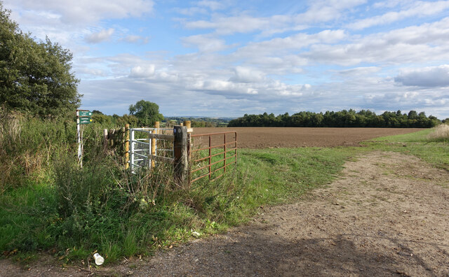
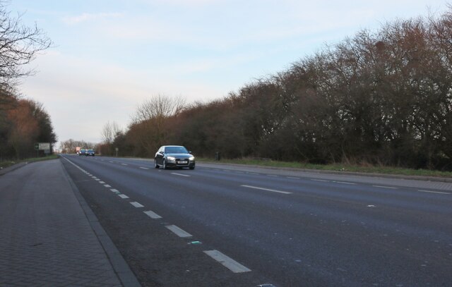
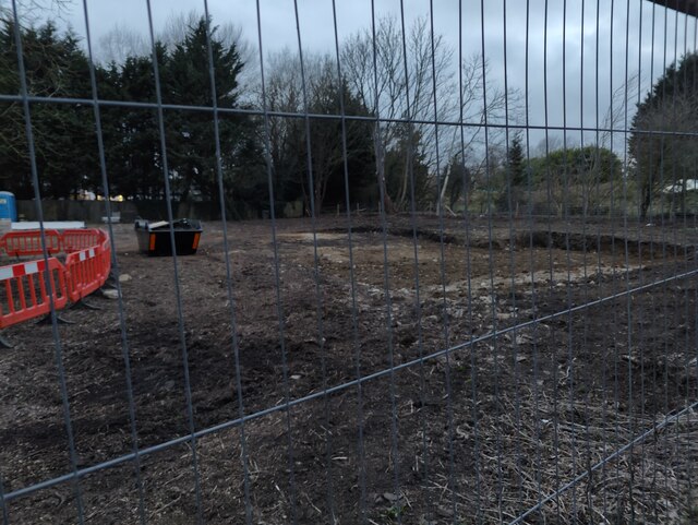
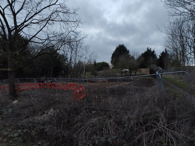
Warren Copse Images
Images are sourced within 2km of 51.647381/-1.6131218 or Grid Reference SU2694. Thanks to Geograph Open Source API. All images are credited.


Warren Copse is located at Grid Ref: SU2694 (Lat: 51.647381, Lng: -1.6131218)
Administrative County: Oxfordshire
District: Vale of White Horse
Police Authority: Thames Valley
What 3 Words
///elbowed.scorch.irony. Near Faringdon, Oxfordshire
Nearby Locations
Related Wikis

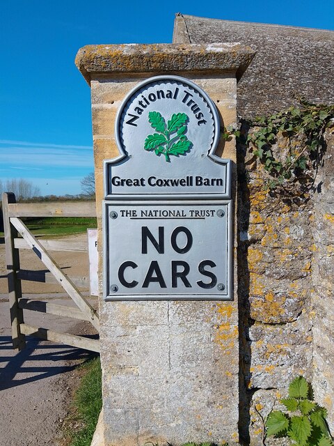
Great Coxwell Barn
Great Coxwell Barn is a Medieval tithe barn at Great Coxwell, Oxfordshire (formerly Berkshire), England. It is on the northern edge of the village of Great...

Badbury Hill
Badbury Hill is a hill in the civil parish of Great Coxwell near Faringdon in the English county of Oxfordshire. In 1974 it was transferred from Berkshire...

Great Coxwell
Great Coxwell is a village and civil parish 2 miles (3 km) southwest of Faringdon in the Vale of White Horse, England. It was in Berkshire until the 1974...

Little Coxwell
Little Coxwell is a village and civil parish in South East England, about 1.5 miles (2.4 km) south of Faringdon and 0.8 miles (1.3 km) east of Great Coxwell...

Faringdon Community College
Faringdon Community College is an 11 to 18 mixed comprehensive school on the edge of Faringdon, a market town in Oxfordshire, England. The college has...

Faringdon railway station
Faringdon railway station is a closed stone and brick built railway station that served the market town of Faringdon, in Oxfordshire, England and was on...

Faringdon
Faringdon is a historic market town in the Vale of White Horse, Oxfordshire, England, 18 miles (29 km) south-west of Oxford, 10 miles (16 km) north-west...
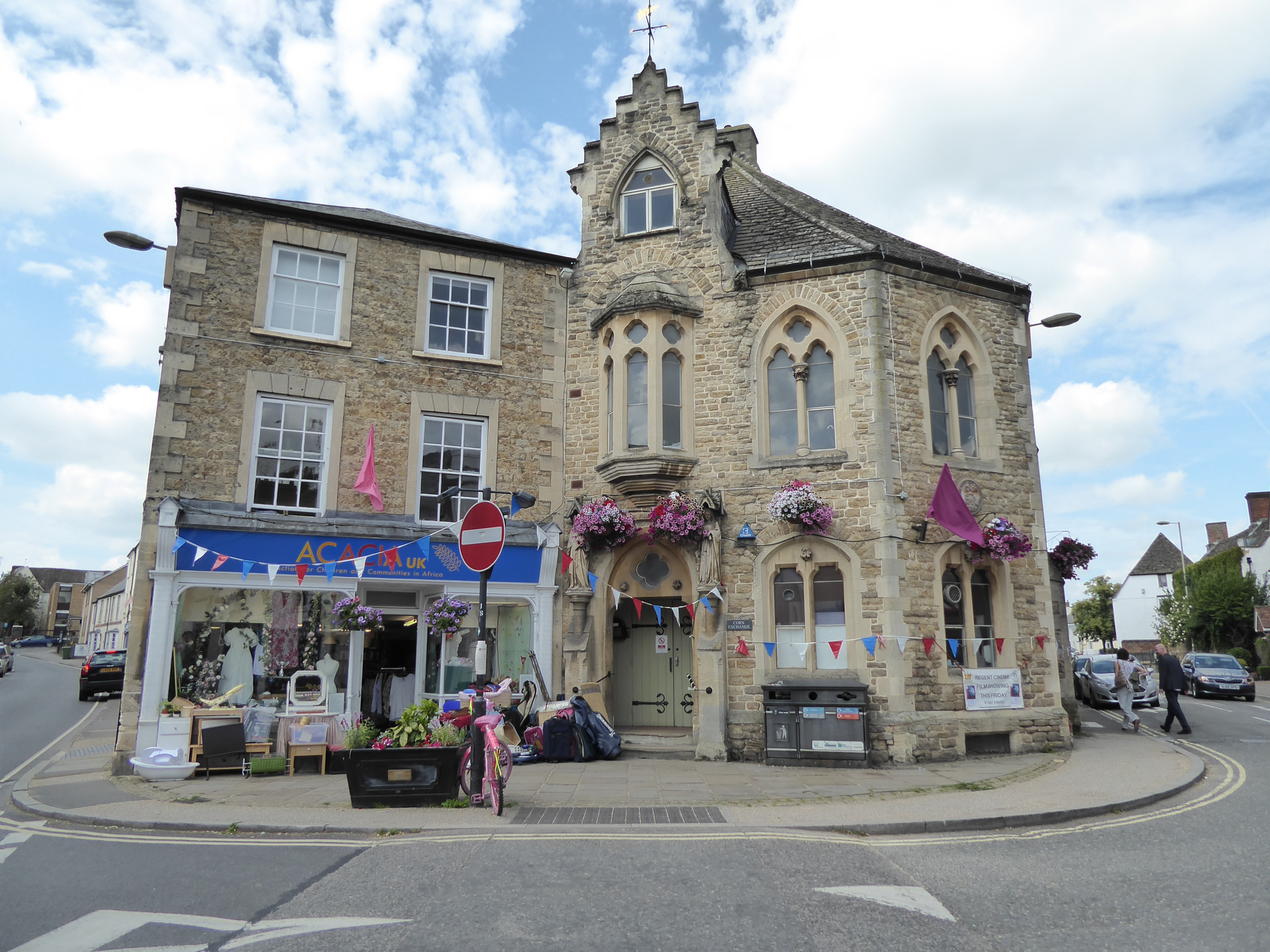
Corn Exchange, Faringdon
The Corn Exchange is a commercial building in Gloucester Street in Faringdon, Oxfordshire, England. The structure, which is currently used as a community...
Nearby Amenities
Located within 500m of 51.647381,-1.6131218Have you been to Warren Copse?
Leave your review of Warren Copse below (or comments, questions and feedback).