Orange Grove

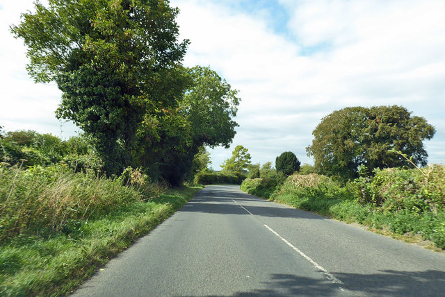
Wood, Forest in Hampshire Test Valley

England

Orange Grove

Steam railtour at Grateley 'Merchant Navy' pacific No. 35028 'Clan Line' powers its train through Grateley Station with the outgoing leg of a railtour.  The train was due to take the Romsey line at Salisbury before returning to London via Basingstoke.
Steam railtour at Grateley Credit: Bob Walters

Orange Grove is a charming woodland area located in Hampshire, England. Situated within the larger Forest of Hampshire, it is known for its beautiful orange grove, which gives the area its name. The grove is comprised of numerous orange trees that thrive in the fertile soil and temperate climate of the region.

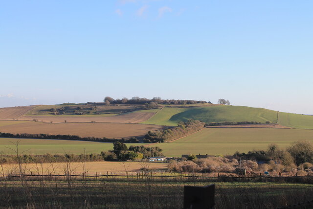
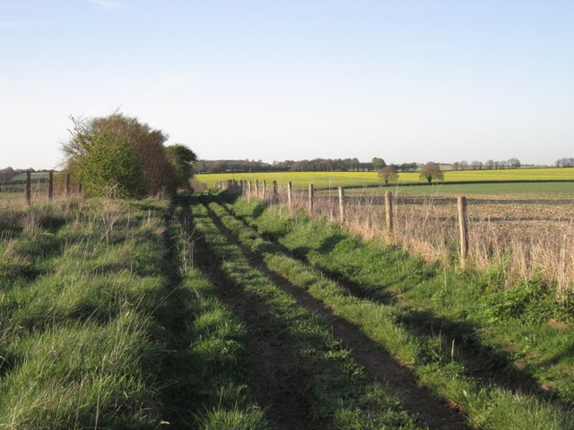
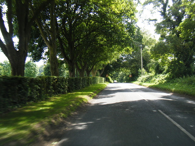
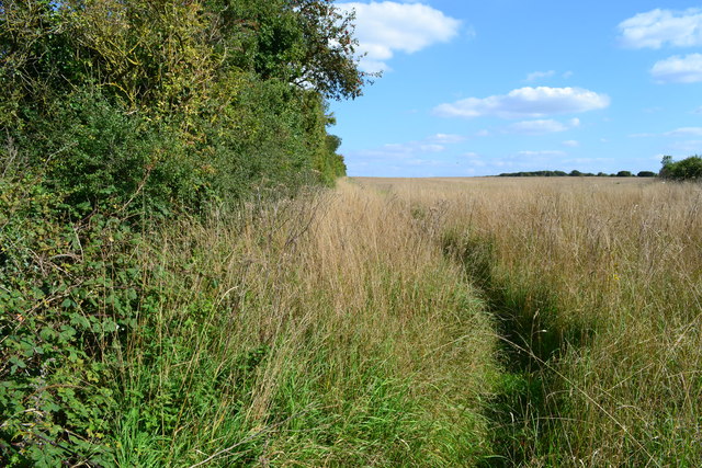
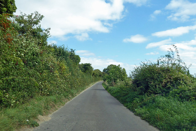
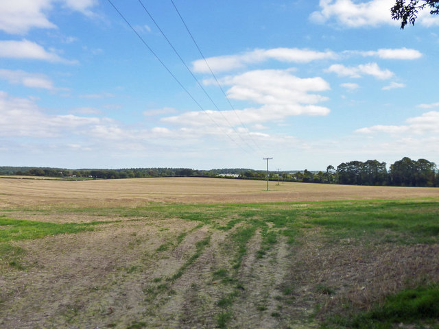
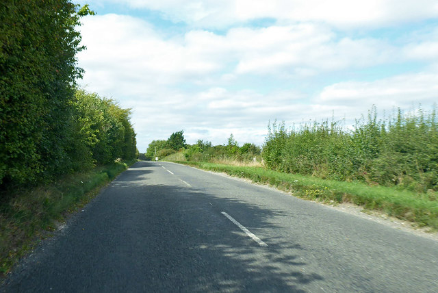
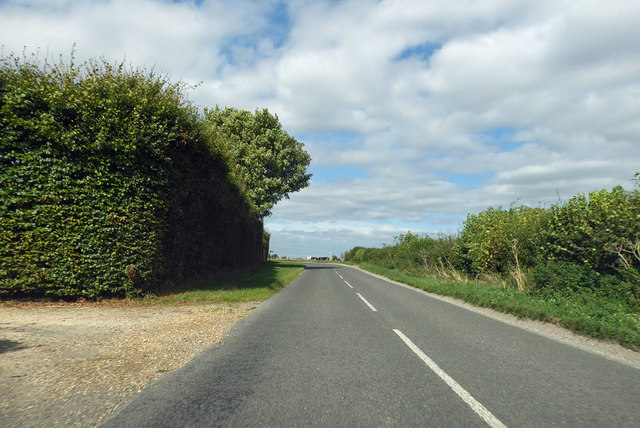
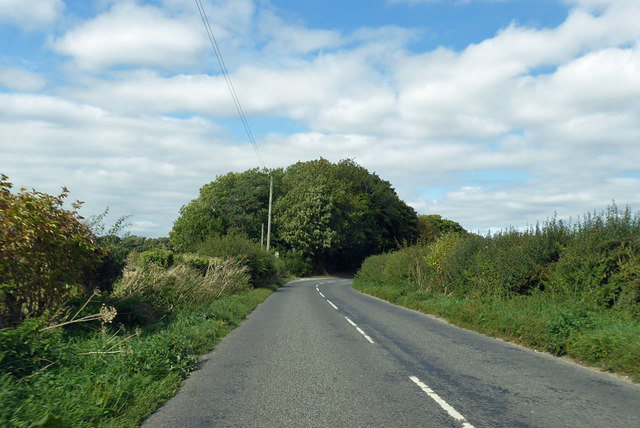
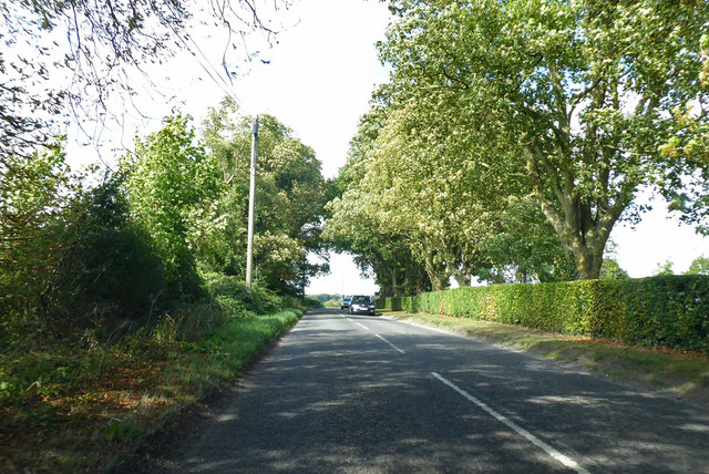
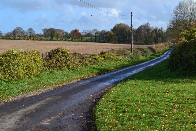
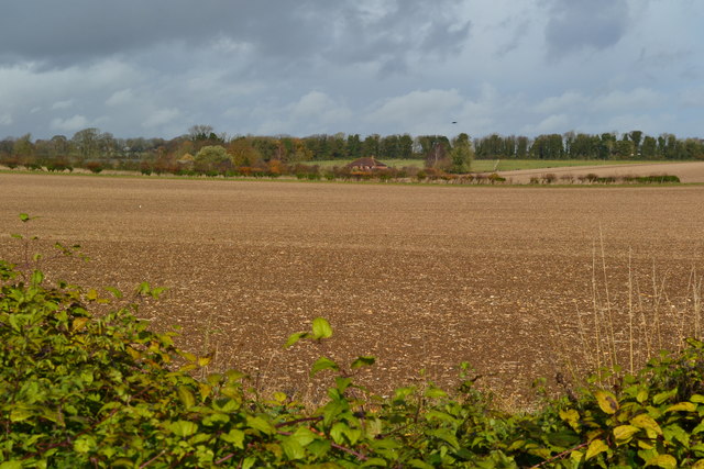
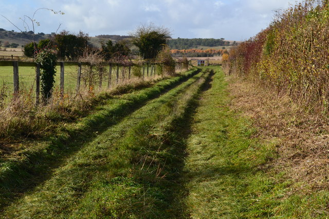
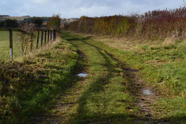
The landscape of Orange Grove is characterized by dense forests, rolling hills, and meandering streams. The woodlands are home to a diverse range of flora and fauna, including various species of birds, mammals, and insects. The area is particularly popular among nature enthusiasts and hikers, who can explore the numerous trails that wind through the woods.

The orange grove itself is a sight to behold, especially during the autumn months when the trees are laden with ripe, vibrant oranges. It is not uncommon to see locals and visitors alike picking the fruit or simply enjoying a leisurely stroll among the orange trees. The grove also attracts photographers and artists, who are drawn to its picturesque beauty.

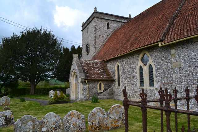
In addition to its natural attractions, Orange Grove is also home to a small community of residents. The village situated nearby offers a few amenities, such as a local pub and a small convenience store, catering to the needs of both residents and visitors.

Overall, Orange Grove, Hampshire is a tranquil and scenic destination, offering a unique blend of natural beauty and rural charm.

If you have any feedback on the listing, please let us know in the comments section below.

Orange Grove Images

Images are sourced within 2km of 51.162208/-1.6236123 or Grid Reference SU2640. Thanks to Geograph Open Source API. All images are credited.

Steam railtour at Grateley 'Merchant Navy' pacific No. 35028 'Clan Line' powers its train through Grateley Station with the outgoing leg of a railtour.  The train was due to take the Romsey line at Salisbury before returning to London via Basingstoke.
Steam railtour at Grateley
'Merchant Navy' pacific No. 35028 'Clan Line' powers its train through Grateley Station with the outgoing leg of a railtour. The train was due to take the Romsey line at Salisbury before returning to London via Basingstoke.
Quarley hill fort Iron Age hill fort situated on Quarley Hill overlying the nodal point of late Bronze Age linear ditches, one of which is visible on the hill slope to the right of the fort.
Quarley hill fort
Iron Age hill fort situated on Quarley Hill overlying the nodal point of late Bronze Age linear ditches, one of which is visible on the hill slope to the right of the fort.
Military danger area south of Palestine Looking west from the public byway which passes the danger area.
Military danger area south of Palestine
Looking west from the public byway which passes the danger area.
Byway near Palestine Looking north along the byway, with farmland to the east and the military danger area to the west.
Byway near Palestine
Looking north along the byway, with farmland to the east and the military danger area to the west.
Wallop Road near Over Wallop
Footpath north of Grateley
St Leonard's Church, Grateley
Grateley Drove Towards Grateley or Quarley.
Grateley Drove
Towards Grateley or Quarley.
B3084 Cholderton Road Towards the A338/A303 junction.
B3084 Cholderton Road
Towards the A338/A303 junction.
Field south of Grateley Drove The white at the far side of the field is a poultry farm.
Field south of Grateley Drove
The white at the far side of the field is a poultry farm.
Wallop Road Towards Grateley Station from Over Wallop.
Wallop Road
Towards Grateley Station from Over Wallop.
Wallop Road Towards Grateley Station from Over Wallop.
Wallop Road
Towards Grateley Station from Over Wallop.
Road towards Grateley Station from Over Wallop It might be called Station Road or Wallop Road.
Road towards Grateley Station from Over Wallop
It might be called Station Road or Wallop Road.
Road towards Grateley Station from Over Wallop It might be called Station Road or Wallop Road.
Road towards Grateley Station from Over Wallop
It might be called Station Road or Wallop Road.
Pottery Drove From outside the gates of Croft Farm.
Pottery Drove
From outside the gates of Croft Farm.
Bare fields north of Pottery Drove
Looking towards the western end of Pottery Drove
Bend in Pottery Drove
Show me another place!

Orange Grove is located at Grid Ref: SU2640 (Lat: 51.162208, Lng: -1.6236123)

Administrative County: Hampshire

District: Test Valley

Police Authority: Hampshire

What 3 Words

///fragments.expressed.mini. Near Allington, Wiltshire

Related Wikis

Palestine, Hampshire

Palestine is a village which lies in the civil parish of Over Wallop, approximately 7 miles (11 km) south-west of Andover, in Hampshire, England. It consists...

Grateley railway station

Grateley railway station serves the village of Grateley, Hampshire, England, and the surrounding countryside. It is 72 miles 49 chains (116.9 km) down...

Quarley Hill

Quarley Hill is the site of an Iron Age univallate hill fort in Hampshire, southern England. The hill affords commanding views of the surrounding countryside...

Grateley

Grateley is a village and civil parish in the north west of Hampshire, England. The name is derived from the Old English grēat lēah, meaning 'great wood...

Quarley Hill Fort

Quarley Hill Fort is a 3.5-hectare (8.6-acre) biological Site of Special Scientific Interest west of Grateley in Hampshire.Quarley hillfort is a hillfort...

Over Wallop

Over Wallop is a small village and civil parish in the Test Valley district of Hampshire, England. The village lies close to the border with Wiltshire...

Quarley

Quarley is a village and civil parish in the Test Valley district of Hampshire, England. It is about 7 mi (11 km) west of Andover and according to the...

Army Flying Museum

The Army Flying Museum, previously known as the Museum of Army Flying, is a British military aviation museum about the history of flying in the British...

Nearby Amenities

Located within 500m of 51.162208,-1.6236123
Palestine
Place: hamlet
Source: OS OpenData StreetView
Wikidata: Q3848224
Lat/Long: 51.1643411/-1.6261975
Post Box
Post Box Type: lamp
Ref: SP11 97
Royal Cypher: EIIR
Royal Cypher Wikidata: Q33102113
Lat/Long: 51.1627938/-1.6272318
Byway is very overgrown and unpassable
Lat/Long: 51.1621741/-1.6237328
Advertising: board
Lat/Long: 51.1627528/-1.627244
Defibrillator
Emergency: defibrillator
Lat/Long: 51.1643401/-1.6280239
The data included in this document is from www.openstreetmap.org. The data is made available under ODbL.

Have you been to Orange Grove?

Leave your review of Orange Grove below (or comments, questions and feedback).