Peach Grove
Wood, Forest in Hampshire Test Valley
England
Peach Grove
Peach Grove is a charming village located in the heart of Hampshire, England. Nestled within a dense wood and surrounded by a magnificent forest, it offers residents and visitors a picturesque setting that captures the essence of rural England.
The village itself is small, with a population of around 500 people, giving it a close-knit and friendly community atmosphere. The houses in Peach Grove are predominantly traditional cottages, adding to the village's quaint and timeless appeal. The streets are lined with beautiful trees, and floral displays adorn the gardens, creating a delightful ambiance.
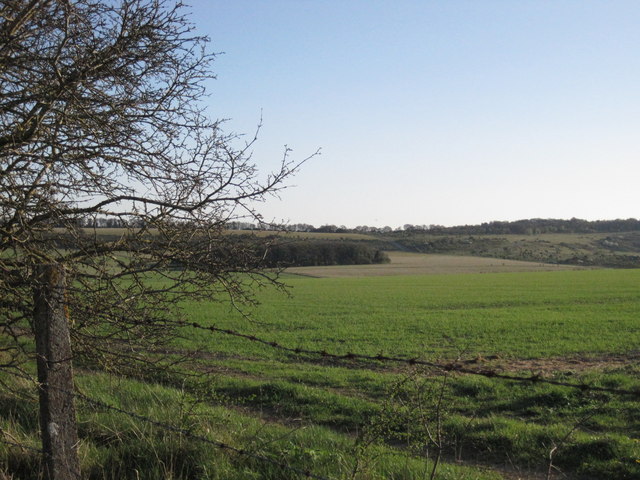
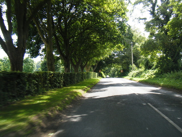
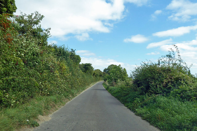
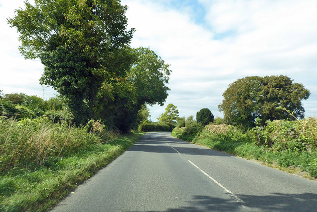
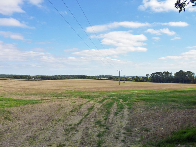
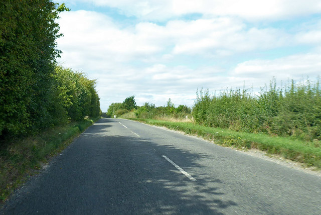
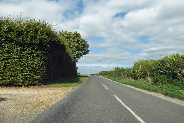
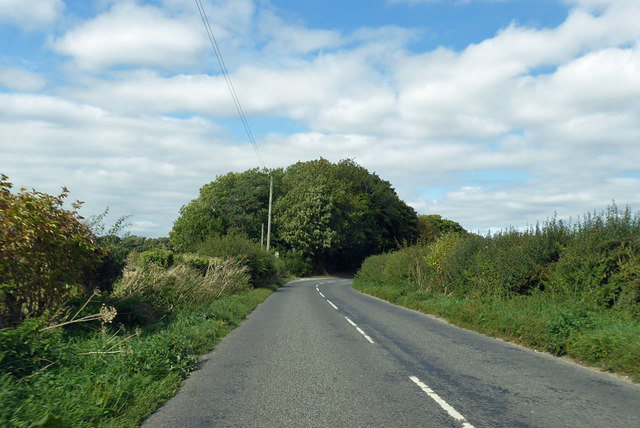
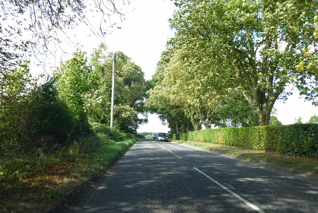
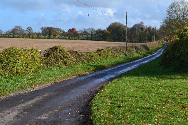
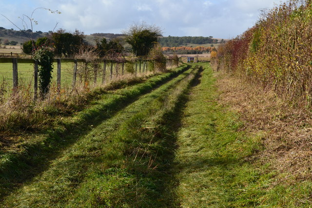
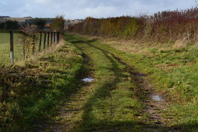
The wood and forest that envelop Peach Grove provide a haven for nature enthusiasts. The wood is home to a diverse array of wildlife, including deer, rabbits, and numerous bird species. It offers a tranquil escape for those seeking solitude or an opportunity to connect with nature. The forest, with its towering trees and winding trails, invites exploration and adventure, making it a favorite spot for hikers and cyclists.
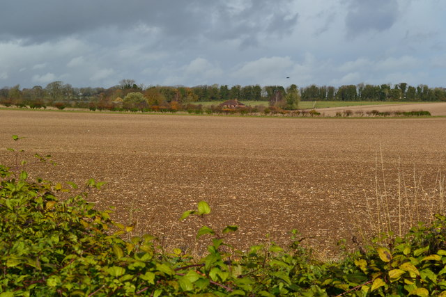
Peach Grove's location also makes it ideal for outdoor activities. The village is surrounded by rolling hills and scenic countryside, offering breathtaking views and ample opportunities for walking, picnicking, and enjoying the great outdoors.
Despite its rural charm, Peach Grove is conveniently located near larger towns and cities. The bustling market town of Hampshire is just a short drive away, providing residents with easy access to amenities, shops, and services.
In conclusion, Peach Grove, Hampshire is a hidden gem that showcases the beauty of rural England. With its enchanting wood and forest, friendly community, and proximity to larger towns, it offers a perfect balance between tranquility and convenience.
If you have any feedback on the listing, please let us know in the comments section below.
Peach Grove Images
Images are sourced within 2km of 51.161209/-1.6233202 or Grid Reference SU2640. Thanks to Geograph Open Source API. All images are credited.

Peach Grove is located at Grid Ref: SU2640 (Lat: 51.161209, Lng: -1.6233202)
Administrative County: Hampshire
District: Test Valley
Police Authority: Hampshire
What 3 Words
///confined.published.mixers. Near Allington, Wiltshire
Nearby Locations
Related Wikis

Palestine, Hampshire
Palestine is a village which lies in the civil parish of Over Wallop, approximately 7 miles (11 km) south-west of Andover, in Hampshire, England. It consists...

Grateley railway station
Grateley railway station serves the village of Grateley, Hampshire, England, and the surrounding countryside. It is 72 miles 49 chains (116.9 km) down...

Quarley Hill
Quarley Hill is the site of an Iron Age univallate hill fort in Hampshire, southern England. The hill affords commanding views of the surrounding countryside...

Grateley
Grateley is a village and civil parish in the north west of Hampshire, England. The name is derived from the Old English grēat lēah, meaning 'great wood...

Quarley Hill Fort
Quarley Hill Fort is a 3.5-hectare (8.6-acre) biological Site of Special Scientific Interest west of Grateley in Hampshire.Quarley hillfort is a hillfort...

Over Wallop
Over Wallop is a small village and civil parish in the Test Valley district of Hampshire, England. The village lies close to the border with Wiltshire...
Quarley
Quarley is a village and civil parish in the Test Valley district of Hampshire, England. It is about 7 mi (11 km) west of Andover and according to the...

Army Flying Museum
The Army Flying Museum, previously known as the Museum of Army Flying, is a British military aviation museum about the history of flying in the British...
Nearby Amenities
Located within 500m of 51.161209,-1.6233202Have you been to Peach Grove?
Leave your review of Peach Grove below (or comments, questions and feedback).