Olive Grove
Wood, Forest in Hampshire Test Valley
England
Olive Grove
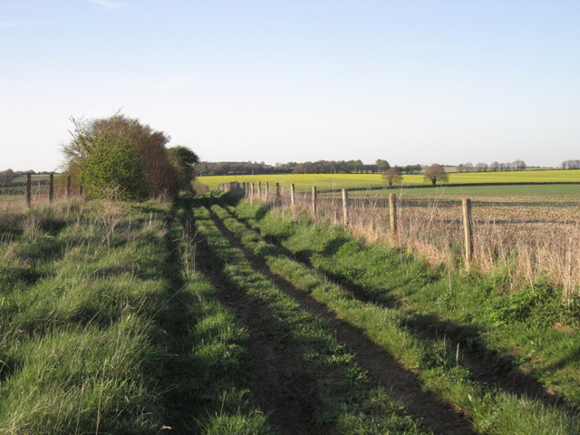
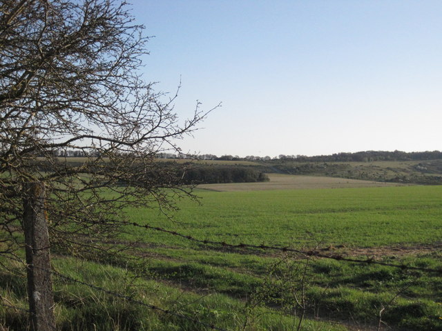
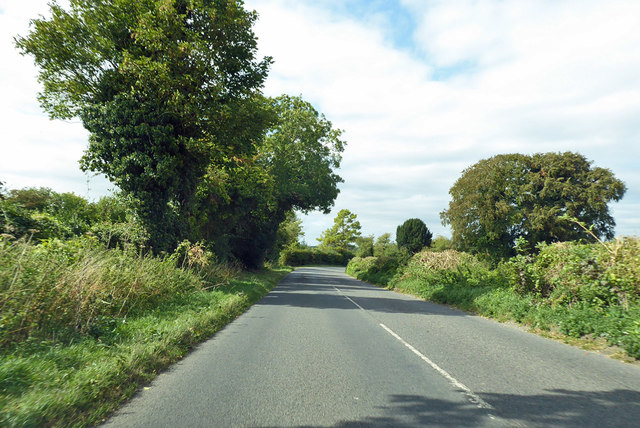
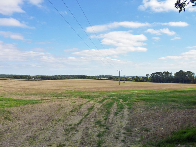
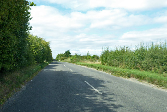
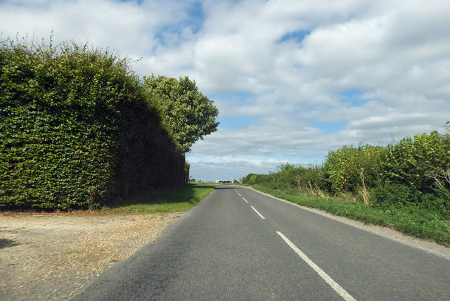
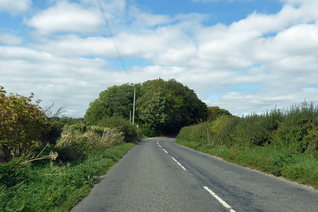
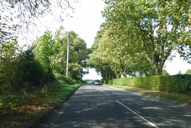
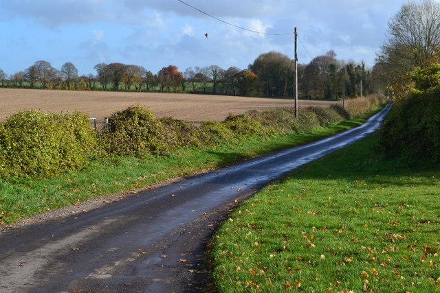
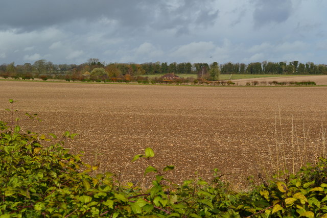
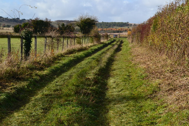
Olive Grove is a picturesque woodland located in Hampshire, England. This serene forest is known for its abundant olive trees, which give the grove its name. Spanning over several acres, Olive Grove is a popular destination for nature enthusiasts and those seeking tranquility amidst the lush greenery.
The grove is home to a diverse range of flora and fauna, making it a haven for wildlife. Visitors can expect to encounter a variety of bird species, small mammals, and even the occasional deer. The dense canopy of trees provides ample shade and a cool atmosphere, making it an ideal spot for picnics and leisurely walks.
The olive trees in Olive Grove are a unique feature that sets it apart from other woodlands in the area. These trees, with their silver-green leaves and twisted trunks, create a striking visual contrast against the backdrop of the surrounding forest. The olives harvested from these trees are often used to produce high-quality olive oil, which is a local specialty.
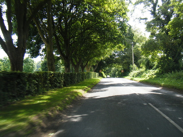
The grove is well-maintained, with clearly marked trails and designated picnic areas. There are also information boards throughout the grove that provide interesting facts about the trees and wildlife found in the area.
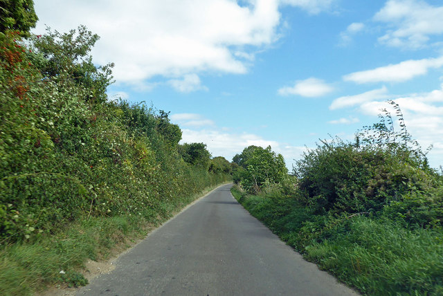
Olive Grove is easily accessible by both car and public transportation, with ample parking available nearby. It offers a peaceful retreat from the hustle and bustle of everyday life, allowing visitors to connect with nature and enjoy the beauty of the Hampshire countryside. Whether you are an avid nature lover or simply seeking a peaceful escape, Olive Grove is a must-visit destination.
If you have any feedback on the listing, please let us know in the comments section below.
Olive Grove Images
Images are sourced within 2km of 51.161242/-1.6225048 or Grid Reference SU2640. Thanks to Geograph Open Source API. All images are credited.

Olive Grove is located at Grid Ref: SU2640 (Lat: 51.161242, Lng: -1.6225048)
Administrative County: Hampshire
District: Test Valley
Police Authority: Hampshire
What 3 Words
///regress.carpentry.love. Near Allington, Wiltshire
Nearby Locations
Related Wikis

Palestine, Hampshire
Palestine is a village which lies in the civil parish of Over Wallop, approximately 7 miles (11 km) south-west of Andover, in Hampshire, England. It consists...

Grateley railway station
Grateley railway station serves the village of Grateley, Hampshire, England, and the surrounding countryside. It is 72 miles 49 chains (116.9 km) down...

Grateley
Grateley is a village and civil parish in the north west of Hampshire, England. The name is derived from the Old English grēat lēah, meaning 'great wood...

Quarley Hill
Quarley Hill is the site of an Iron Age univallate hill fort in Hampshire, southern England. The hill affords commanding views of the surrounding countryside...

Quarley Hill Fort
Quarley Hill Fort is a 3.5-hectare (8.6-acre) biological Site of Special Scientific Interest west of Grateley in Hampshire.Quarley hillfort is a hillfort...

Over Wallop
Over Wallop is a small village and civil parish in the Test Valley district of Hampshire, England. The village lies close to the border with Wiltshire...
Quarley
Quarley is a village and civil parish in the Test Valley district of Hampshire, England. It is about 7 mi (11 km) west of Andover and according to the...

Army Flying Museum
The Army Flying Museum, previously known as the Museum of Army Flying, is a British military aviation museum about the history of flying in the British...
Nearby Amenities
Located within 500m of 51.161242,-1.6225048Have you been to Olive Grove?
Leave your review of Olive Grove below (or comments, questions and feedback).