Pot House Wood
Wood, Forest in Yorkshire
England
Pot House Wood
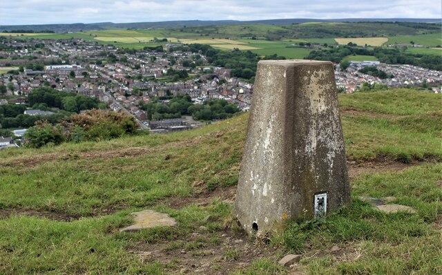
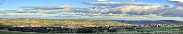
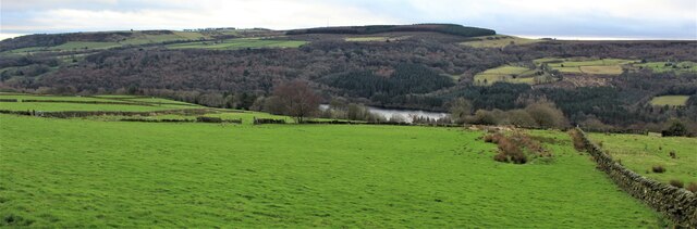
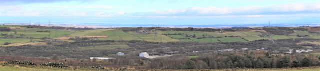
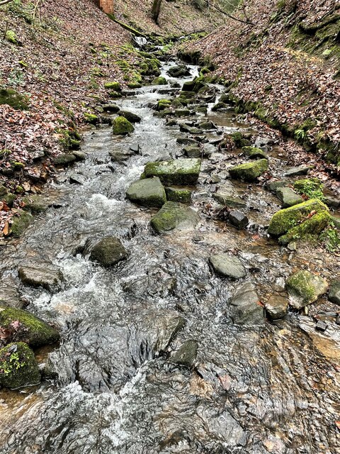
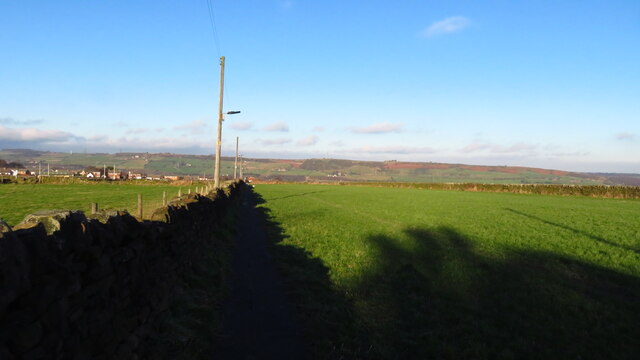
Pot House Wood is a picturesque woodland located in Yorkshire, England. Situated near the village of Silkstone, it covers an area of approximately 40 acres and is known for its tranquil atmosphere and diverse wildlife.
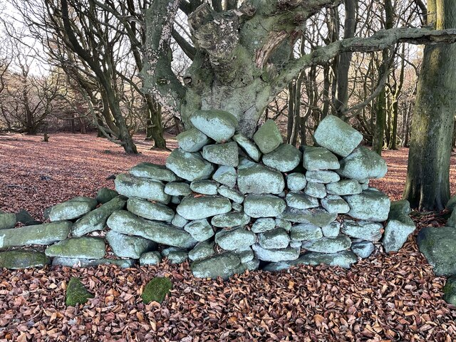
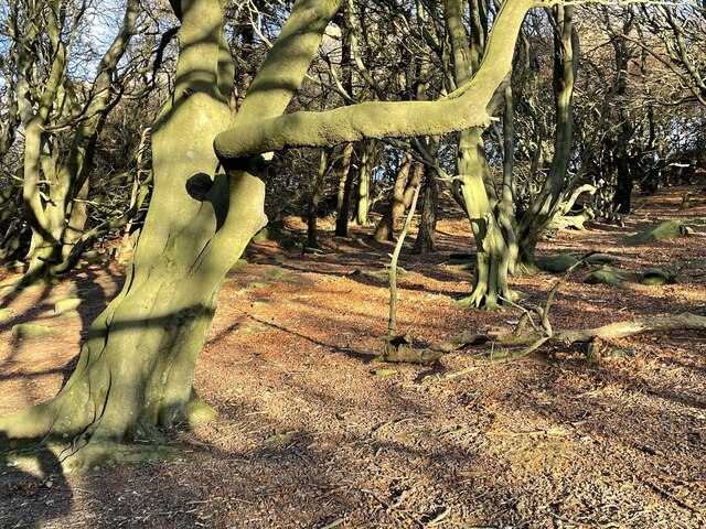
The woodland is predominantly made up of broadleaf trees, including oak, beech, and birch, which create a dense canopy that provides shade and shelter for the flora and fauna thriving within. The forest floor is covered in a thick layer of leaf litter, creating a rich habitat for numerous species of plants and fungi.
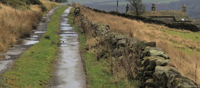
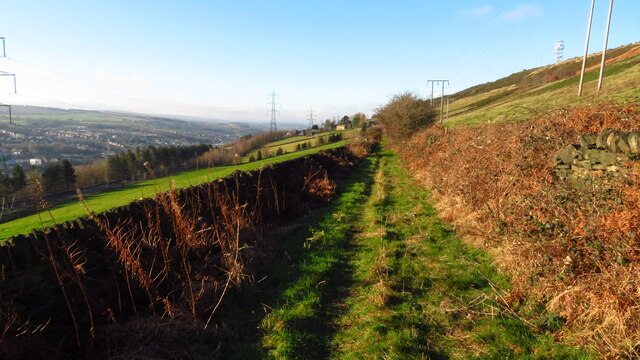
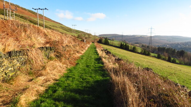
Pot House Wood is crisscrossed by a network of well-maintained footpaths, allowing visitors to explore the area at their leisure. These paths wind through the woodland, leading to various viewpoints and picnic spots where visitors can relax and enjoy the natural beauty of the surroundings.
The woodland is home to a wide range of wildlife, making it a popular spot for nature enthusiasts. Birdwatchers can spot species such as woodpeckers, owls, and jays, while small mammals like squirrels and hedgehogs can be seen scurrying through the undergrowth. In the spring, the woodland comes alive with a vibrant display of wildflowers, including bluebells and primroses.
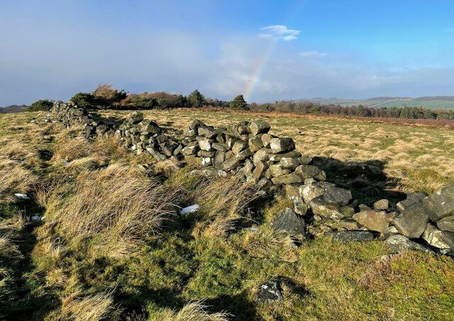
Pot House Wood has a rich history, with evidence of human occupation dating back centuries. The remains of ironworks and pottery kilns have been discovered within the woodland, offering a glimpse into the area's industrial past.
Overall, Pot House Wood is a haven of natural beauty and tranquility, offering visitors the opportunity to immerse themselves in a diverse and thriving woodland ecosystem.
If you have any feedback on the listing, please let us know in the comments section below.
Pot House Wood Images
Images are sourced within 2km of 53.478715/-1.6034422 or Grid Reference SK2698. Thanks to Geograph Open Source API. All images are credited.

Pot House Wood is located at Grid Ref: SK2698 (Lat: 53.478715, Lng: -1.6034422)
Division: West Riding
Unitary Authority: Sheffield
Police Authority: South Yorkshire
What 3 Words
///pods.fights.lengthen. Near Stocksbridge, South Yorkshire
Nearby Locations
Related Wikis

Stocksbridge High School
Stocksbridge High School is a mixed secondary school for 11 to 16-year-olds, in the town of Stocksbridge, South Yorkshire, England. In December 2017 the...

Stocksbridge railway station
Stocksbridge was a small railway halt, the terminus of, and only railway station on the Stocksbridge Railway. The platform was a simple wooden affair,...

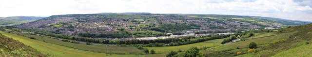
Stocksbridge
Stocksbridge is a town and civil parish, in the City of Sheffield, in South Yorkshire, England. Historically part of the West Riding of Yorkshire, it lies...
Stocksbridge Park Steels F.C.
Stocksbridge Park Steels Football Club is an English association football club based in Stocksbridge, South Yorkshire. They currently compete in the Northern...
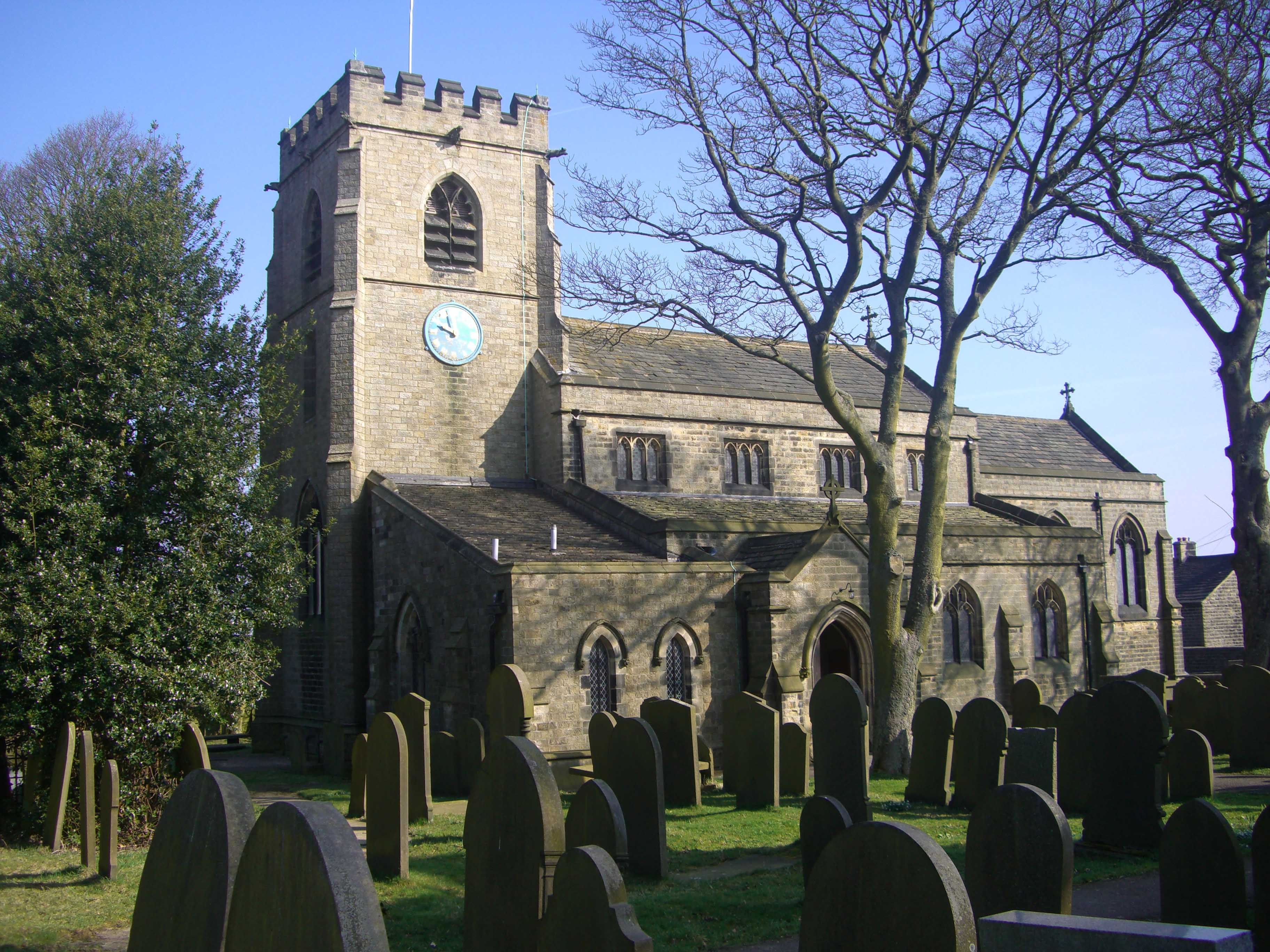
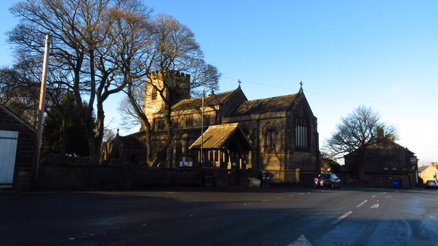
St Mary's Church, Bolsterstone
St Mary's Church, Bolsterstone is situated in the village of Bolsterstone, within the boundary of the City of Sheffield in South Yorkshire, England. The...
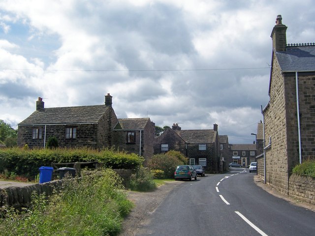
Bolsterstone
Bolsterstone is a village in South Yorkshire, England, south of Stocksbridge, and 8.5 miles to the northwest of the City of Sheffield and within the city...

Ewden Valley
Ewden Valley is a valley in the civil parish of Bradfield in the Stocksbridge and Upper Don electoral ward of Sheffield, South Yorkshire, England.Ewden...

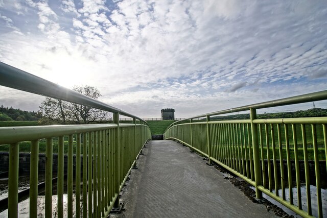
Broomhead Reservoir
Broomhead Reservoir is a reservoir located in the Ewden Valley, near Sheffield in South Yorkshire, England. The reservoir is located to the south of Bolsterstone...
Nearby Amenities
Located within 500m of 53.478715,-1.6034422Have you been to Pot House Wood?
Leave your review of Pot House Wood below (or comments, questions and feedback).