Garden Village
Settlement in Yorkshire
England
Garden Village
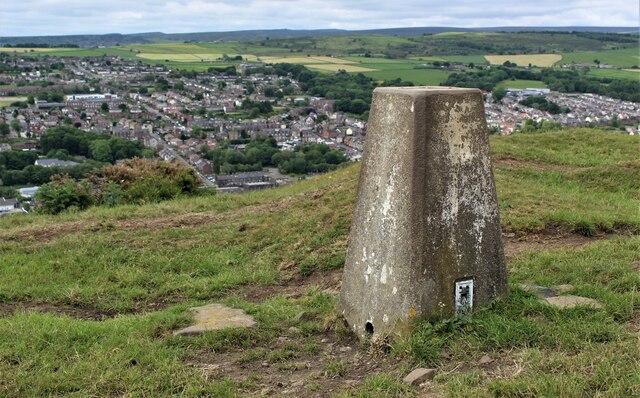
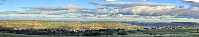
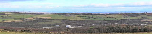
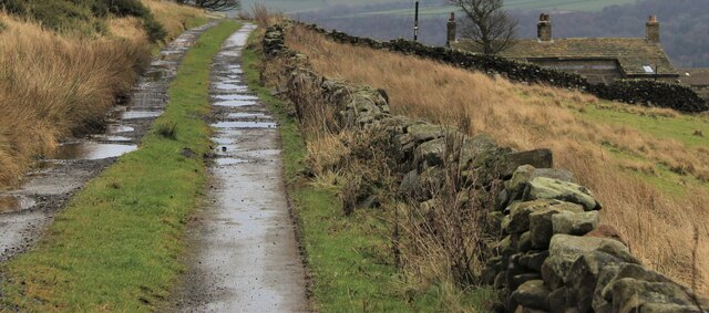
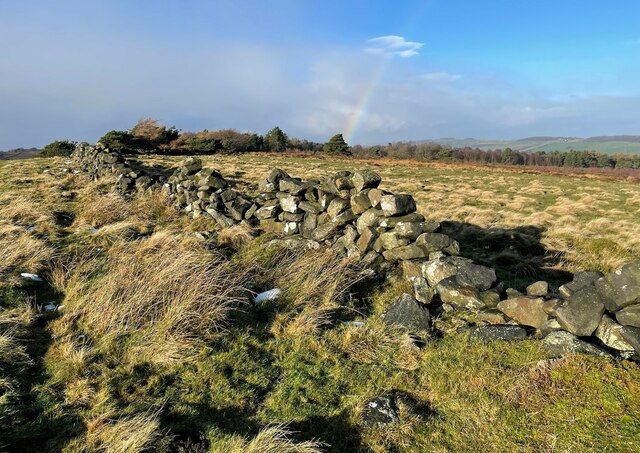
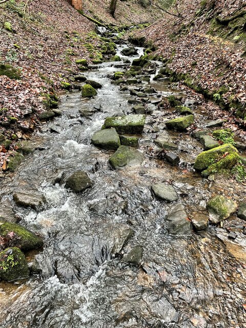
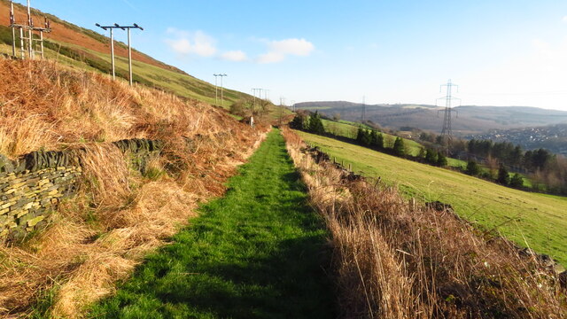
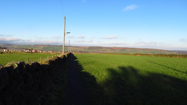
Garden Village is a quaint and picturesque village located in the county of Yorkshire, England. Situated amidst rolling hills and lush green fields, it offers a peaceful and idyllic setting for its residents and visitors alike.
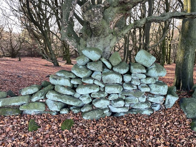
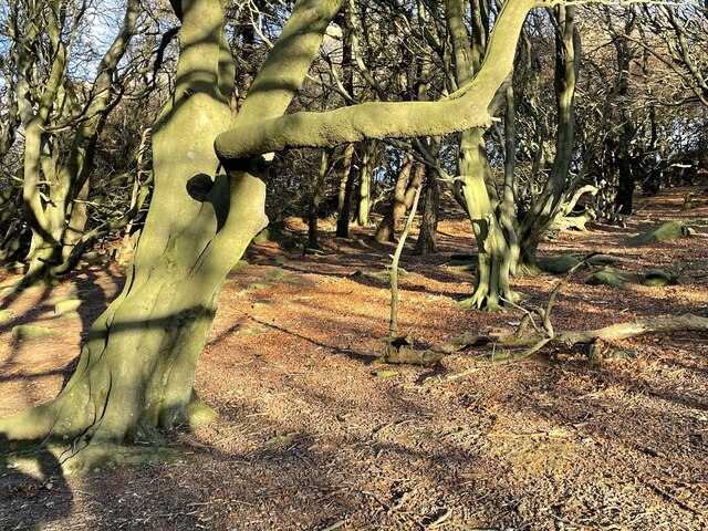
The village is known for its stunning natural beauty, with colorful flower gardens adorning the streets and charming cottages that exude a sense of traditional English charm. The well-maintained parks and open spaces provide ample opportunities for outdoor activities, such as picnicking, strolling, and enjoying the fresh countryside air.
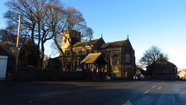
In addition to its natural attractions, Garden Village boasts a strong sense of community. The local residents take great pride in their village, organizing various events and festivals throughout the year. These events not only serve as a source of entertainment but also foster a sense of unity and togetherness among the villagers.
The village also offers a range of amenities to cater to the needs of its residents. There are several shops, cafes, and restaurants, where locals and tourists can indulge in a variety of culinary delights. The village also has a primary school, ensuring that young families have access to quality education.
Garden Village is strategically located, with good transport links to nearby towns and cities, making it an ideal base for exploring the Yorkshire region. Whether it's hiking in the nearby Yorkshire Dales National Park or visiting historic landmarks in the surrounding area, Garden Village serves as a perfect starting point for numerous day trips and adventures.
Overall, Garden Village, Yorkshire, is a charming and vibrant destination, offering a blend of natural beauty, community spirit, and convenient amenities.
If you have any feedback on the listing, please let us know in the comments section below.
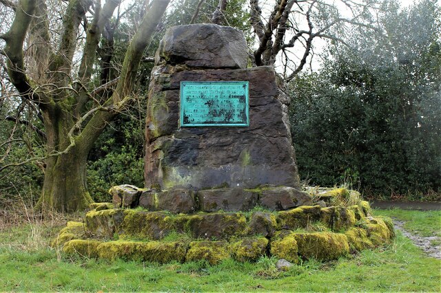
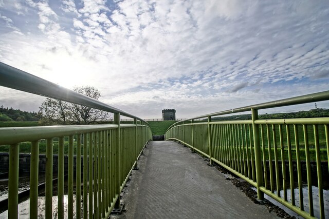
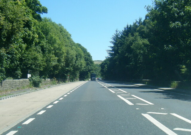
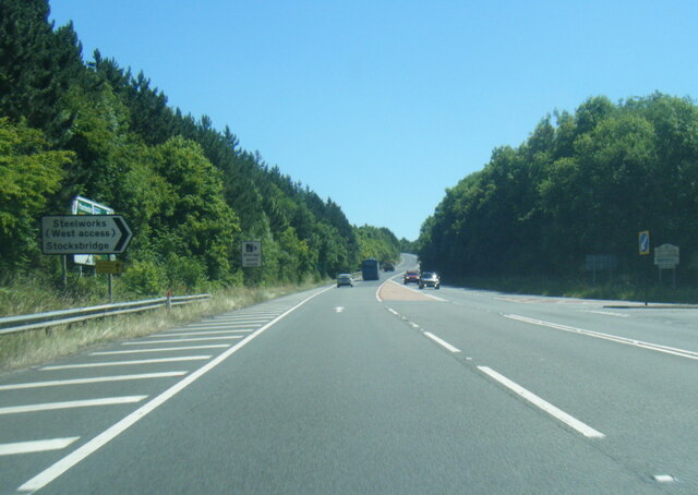
Garden Village Images
Images are sourced within 2km of 53.481942/-1.608925 or Grid Reference SK2698. Thanks to Geograph Open Source API. All images are credited.

Garden Village is located at Grid Ref: SK2698 (Lat: 53.481942, Lng: -1.608925)
Division: West Riding
Unitary Authority: Sheffield
Police Authority: South Yorkshire
What 3 Words
///gliders.concerned.hotspot. Near Stocksbridge, South Yorkshire
Nearby Locations
Related Wikis

Stocksbridge High School
Stocksbridge High School is a mixed secondary school for 11 to 16-year-olds, in the town of Stocksbridge, South Yorkshire, England. In December 2017 the...

Stocksbridge railway station
Stocksbridge was a small railway halt, the terminus of, and only railway station on the Stocksbridge Railway. The platform was a simple wooden affair,...

Stocksbridge
Stocksbridge is a town and civil parish, in the City of Sheffield, in South Yorkshire, England. Historically part of the West Riding of Yorkshire, it lies...
Stocksbridge Park Steels F.C.
Stocksbridge Park Steels Football Club is an English association football club based in Stocksbridge, South Yorkshire. They currently compete in the Northern...
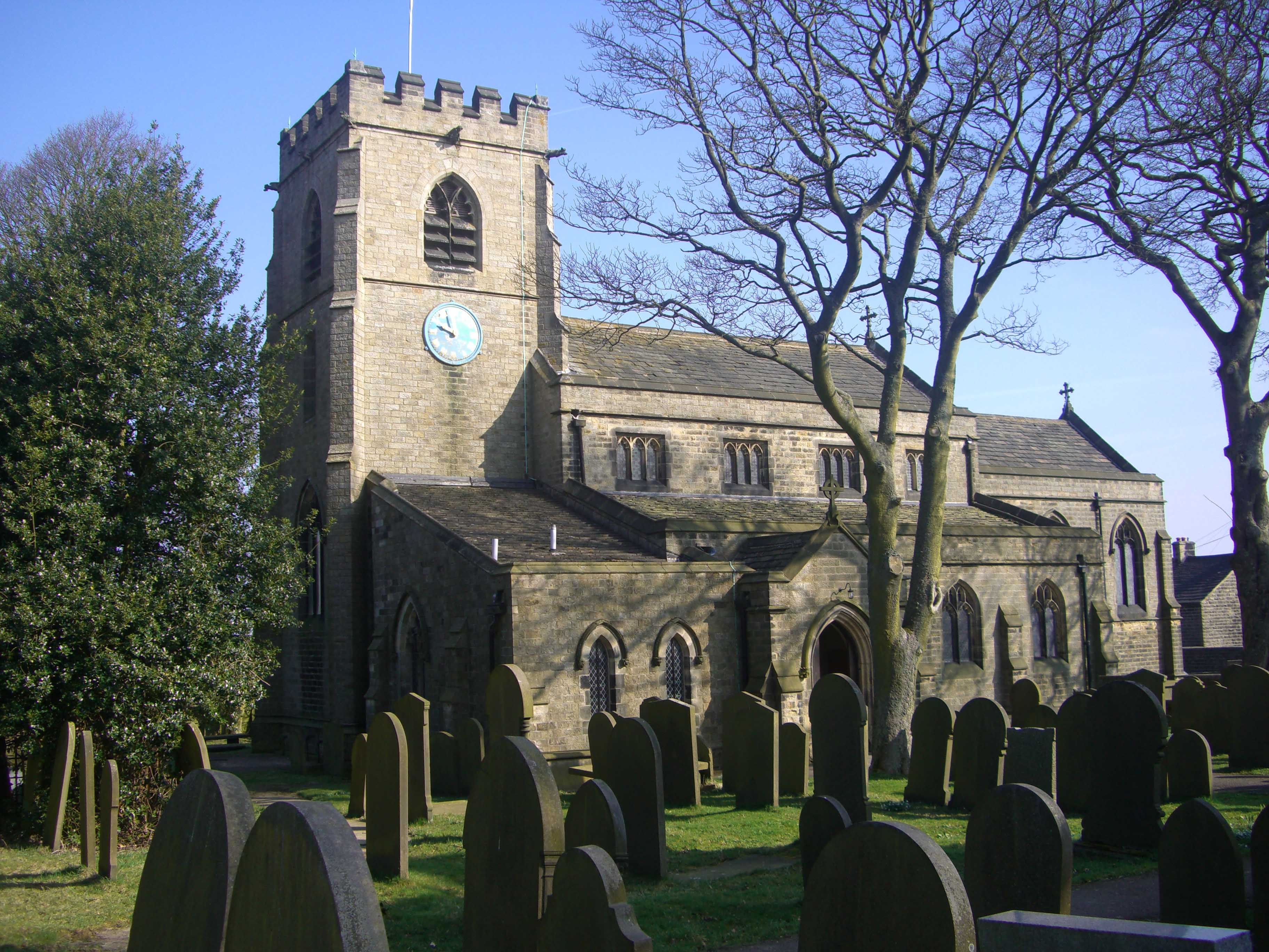
St Mary's Church, Bolsterstone
St Mary's Church, Bolsterstone is situated in the village of Bolsterstone, within the boundary of the City of Sheffield in South Yorkshire, England. The...
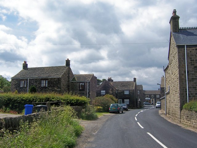
Bolsterstone
Bolsterstone is a village in South Yorkshire, England, south of Stocksbridge, and 8.5 miles to the northwest of the City of Sheffield and within the city...
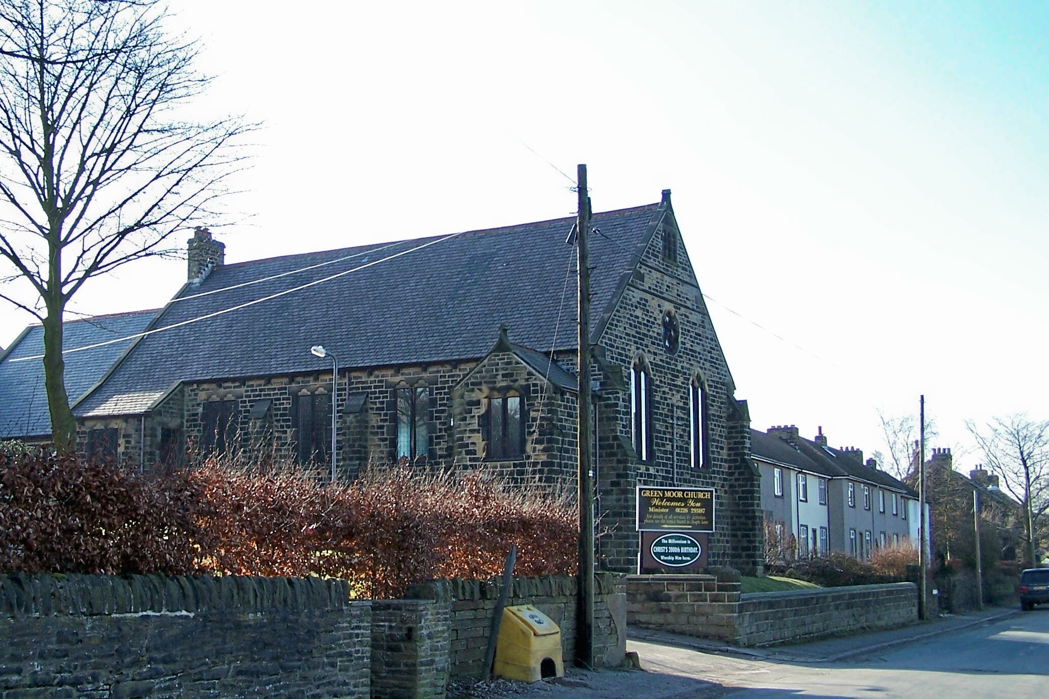
Green Moor
Green Moor is a small hamlet in South Yorkshire, England, in the parish of Hunshelf and close to Penistone and Oxspring. Green Moor used to be a stone...

Broomhead Reservoir
Broomhead Reservoir is a reservoir located in the Ewden Valley, near Sheffield in South Yorkshire, England. The reservoir is located to the south of Bolsterstone...
Nearby Amenities
Located within 500m of 53.481942,-1.608925Have you been to Garden Village?
Leave your review of Garden Village below (or comments, questions and feedback).