Wattscliff Plantation
Wood, Forest in Derbyshire Derbyshire Dales
England
Wattscliff Plantation
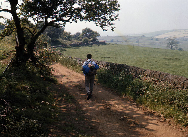
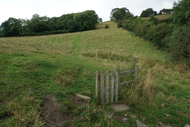
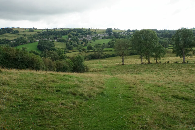
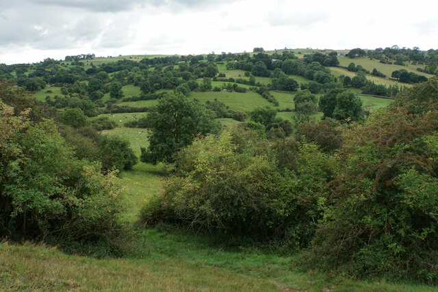
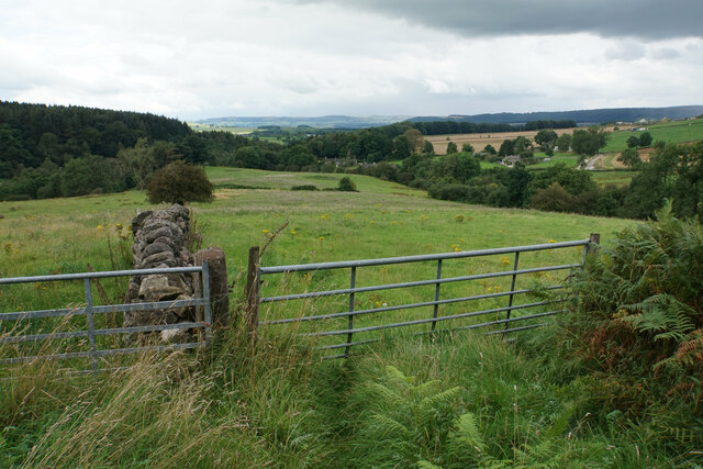
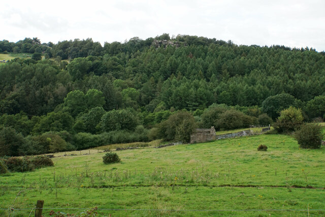
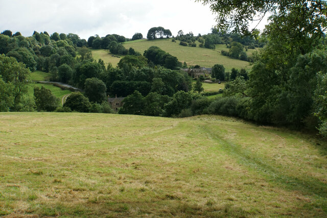
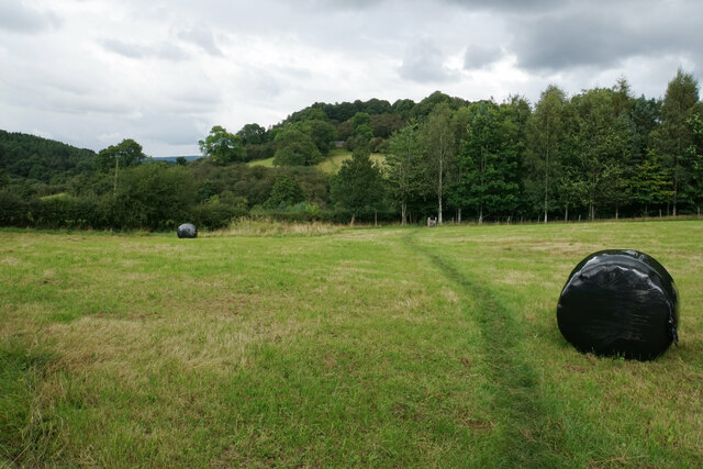
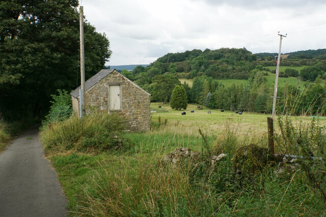
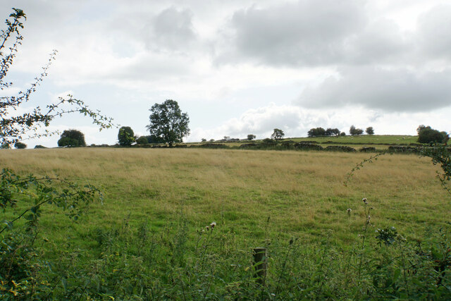
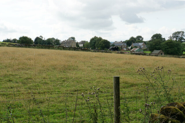
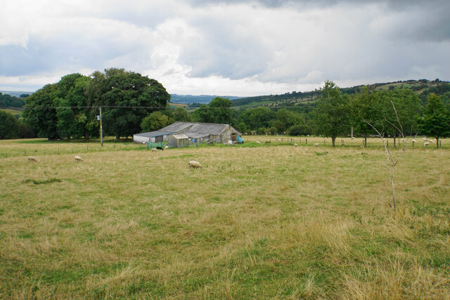
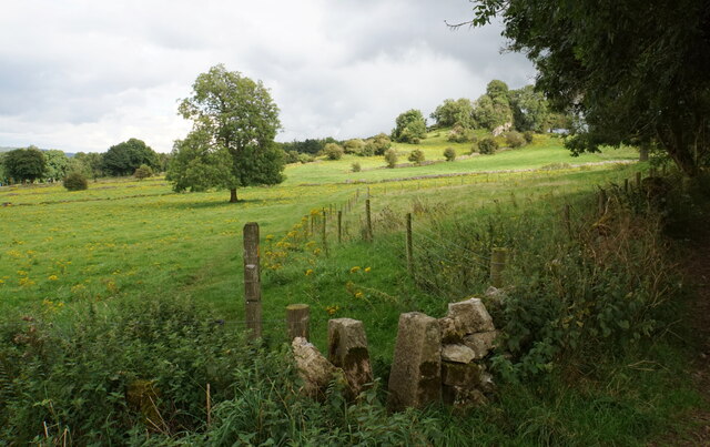
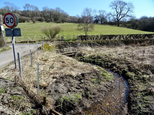
Wattscliff Plantation, located in Derbyshire, England, is a picturesque woodland area that spans over a vast expanse of approximately 500 acres. Situated in the heart of the county, it is renowned for its natural beauty and diverse ecosystem. The plantation is nestled amidst rolling hills and meandering streams, creating a tranquil and serene environment for visitors to explore.
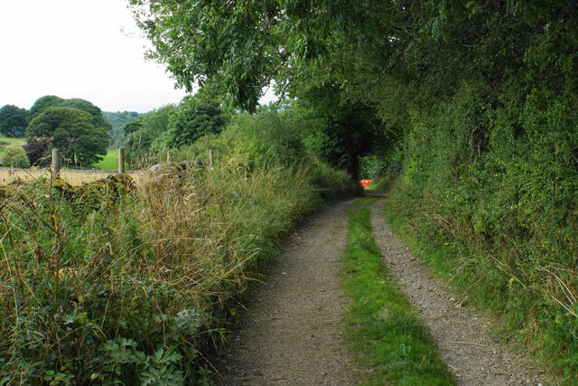
The woodland in Wattscliff Plantation primarily consists of native deciduous trees such as oak, beech, and birch. These towering giants form a dense canopy, providing shade and shelter for a plethora of flora and fauna. The forest floor is adorned with an array of wildflowers, creating a vibrant tapestry of colors throughout the seasons.
Wattscliff Plantation is a haven for wildlife enthusiasts, as it is home to a variety of animal species. Deer, foxes, badgers, and numerous bird species can be spotted within the woodland. The plantation also boasts an abundance of insect life, including butterflies and dragonflies.
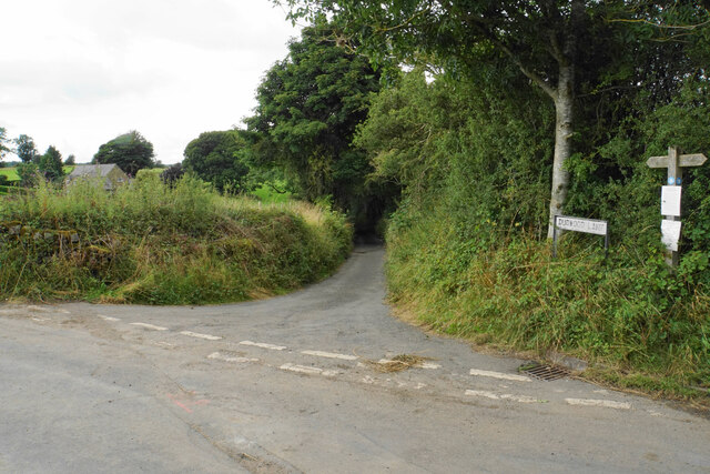
The plantation is crisscrossed by a network of well-maintained walking trails, allowing visitors to immerse themselves in the natural splendor. These trails lead visitors through different sections of the woodland, offering breathtaking views of the surrounding countryside.
Wattscliff Plantation is managed by a dedicated team of conservationists who strive to preserve the natural integrity of the woodland. They conduct regular maintenance and conservation efforts, ensuring the sustainable growth and protection of the plantation.
Overall, Wattscliff Plantation in Derbyshire is a captivating destination for nature lovers, offering a harmonious blend of tranquility, biodiversity, and scenic beauty.
If you have any feedback on the listing, please let us know in the comments section below.
Wattscliff Plantation Images
Images are sourced within 2km of 53.156152/-1.6674182 or Grid Reference SK2262. Thanks to Geograph Open Source API. All images are credited.

Wattscliff Plantation is located at Grid Ref: SK2262 (Lat: 53.156152, Lng: -1.6674182)
Administrative County: Derbyshire
District: Derbyshire Dales
Police Authority: Derbyshire
What 3 Words
///youth.army.districts. Near Youlgreave, Derbyshire
Nearby Locations
Related Wikis
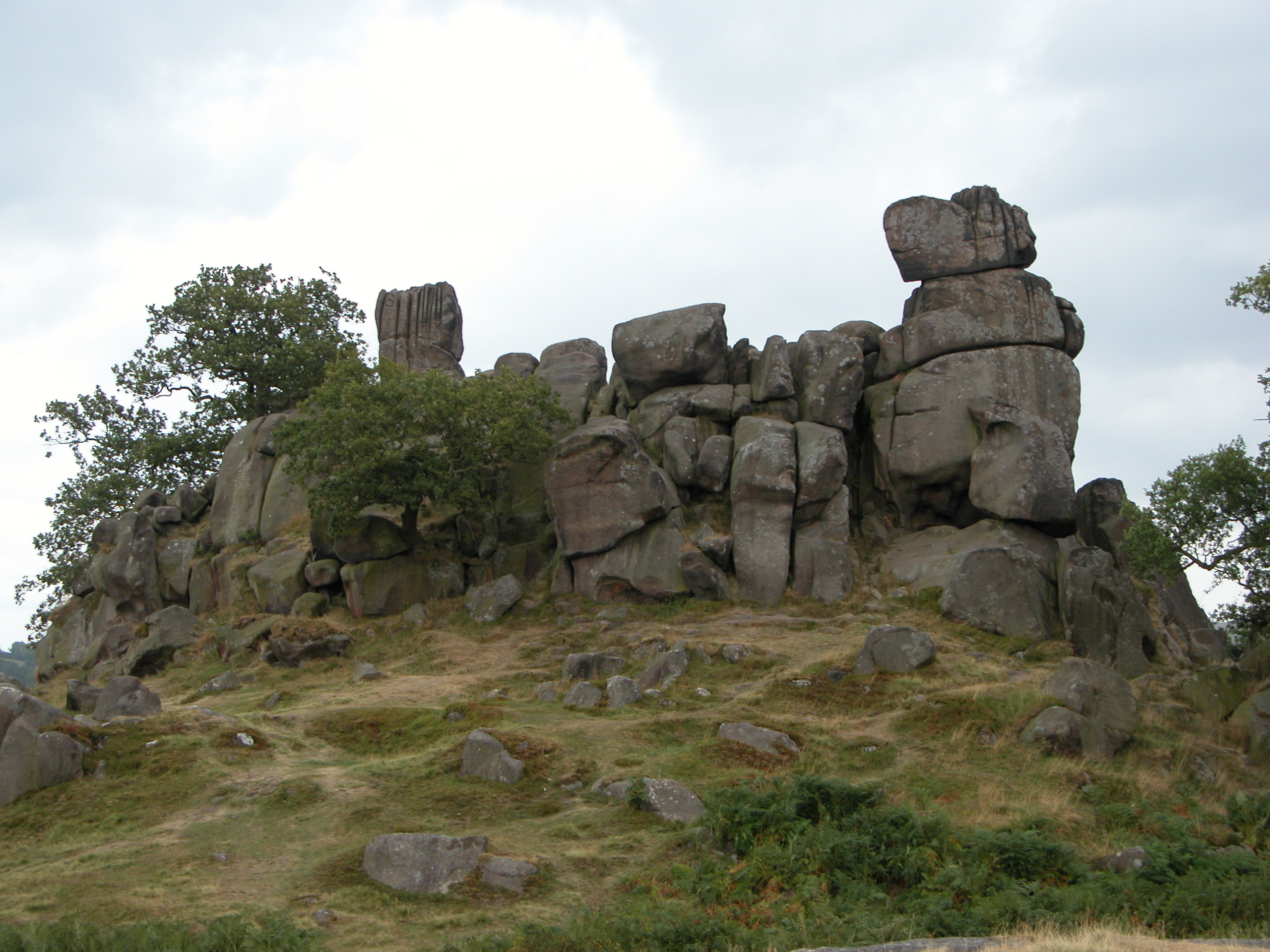
Robin Hood's Stride
Robin Hood's Stride (also known as Mock Beggar's Mansion) is a rock formation on the Limestone Way in Derbyshire close to the village of Elton. The nearest...

Nine Stones Close
Nine Stones Close, also known as the Grey Ladies, is a stone circle on Harthill Moor in Derbyshire in the English East Midlands. It is part of a tradition...

Harthill Moor
Harthill Moor is a small upland area in the Derbyshire Peak District of central and northern England, lying between Matlock and Bakewell near the villages...

All Saints' Church, Elton
All Saints’ Church, Elton is a Grade II listed Church of England church in Elton, Derbyshire. == History == Elton was originally one of the chapelries...

Duke of York Inn, Elton
The Duke of York Inn is a Grade II listed public house at Main Street, Elton, Derbyshire DE4 2BW.It is on the Campaign for Real Ale's National Inventory...

Harthill, Derbyshire
Harthill is a civil parish within the Derbyshire Dales district, in the county of Derbyshire, England. Largely rural, along with parts of the neighbouring...

Elton, Derbyshire
Elton is a village and civil parish in the Derbyshire Dales district of Derbyshire, England, and lies within the Peak District. Its nearest towns are Bakewell...

St Michael's Church, Birchover
St Michael's Church, Birchover, also known as Rowtor Chapel, is a Grade II listed parish church in the Church of England in Birchover, Derbyshire. Located...
Nearby Amenities
Located within 500m of 53.156152,-1.6674182Have you been to Wattscliff Plantation?
Leave your review of Wattscliff Plantation below (or comments, questions and feedback).