Cratcliff Wood

Wood, Forest in Derbyshire Derbyshire Dales

England

Cratcliff Wood

Path down from Stanton Moor
Path down from Stanton Moor Credit: David Lally

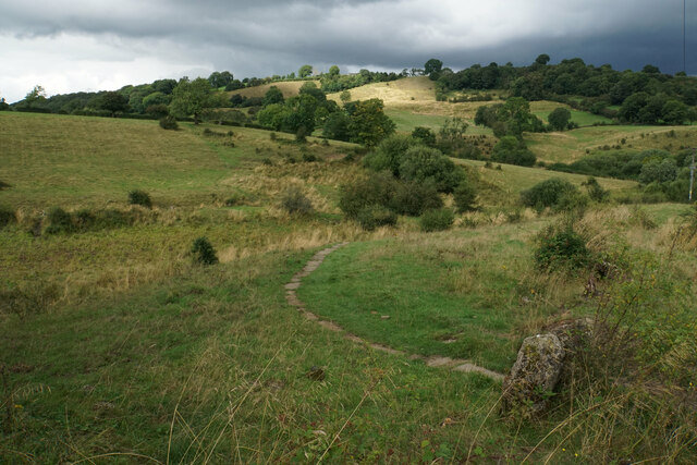
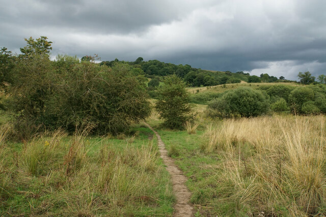
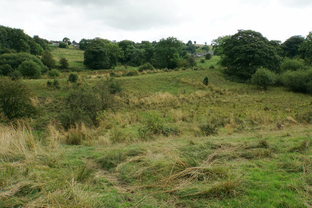
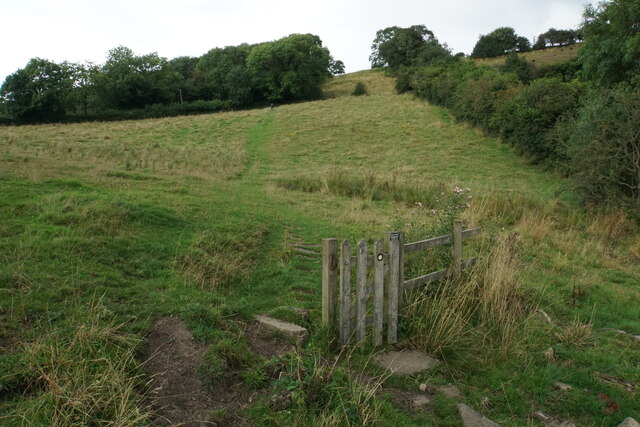
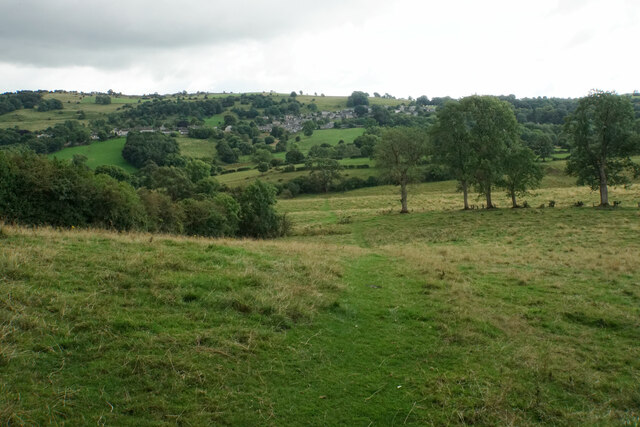
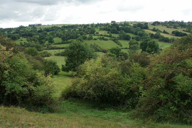
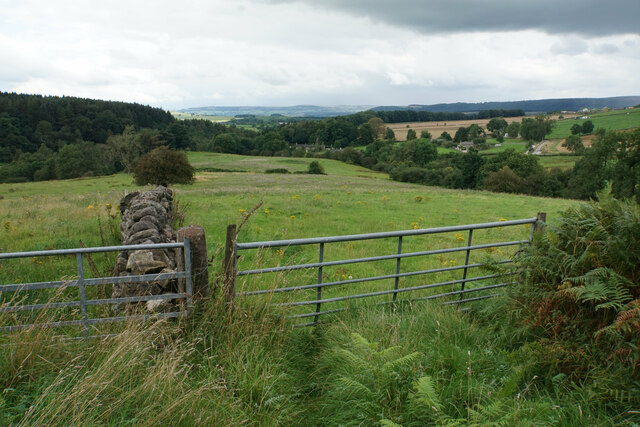
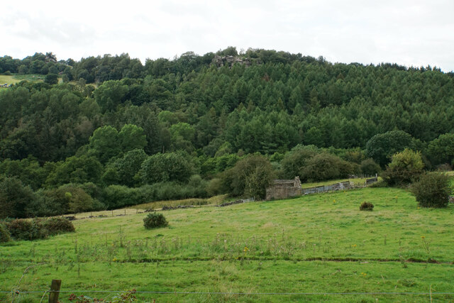
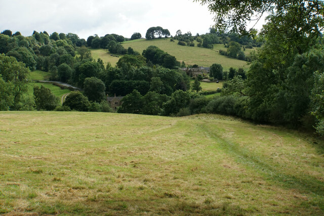
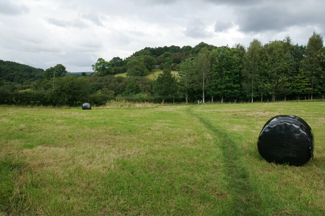
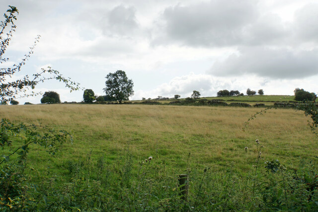
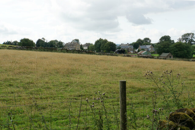
Cratcliff Wood is a picturesque woodland located in Derbyshire, England. Nestled in the heart of the Peak District National Park, it covers an area of approximately 80 acres and is a popular destination for nature enthusiasts and hikers.

The wood is characterized by its diverse flora and fauna, with a variety of trees including oak, ash, beech, and birch creating a dense canopy overhead. This creates a peaceful and tranquil atmosphere, making it an ideal spot for those seeking a break from the bustling city life.

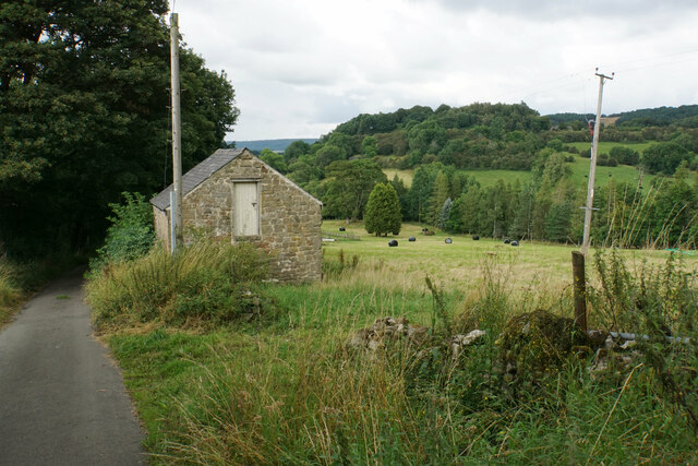
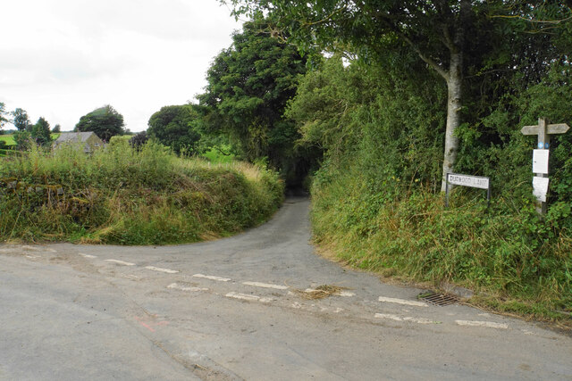
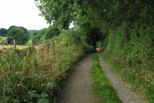
A network of well-maintained footpaths and trails wind their way through Cratcliff Wood, offering visitors the opportunity to explore its beauty. These paths lead to viewpoints that offer stunning vistas of the surrounding countryside, including rolling hills and charming valleys.

Cratcliff Wood is also home to a rich array of wildlife. Birdwatchers can spot species such as woodpeckers, buzzards, and owls, while small mammals like rabbits, foxes, and badgers can be seen foraging in the undergrowth. The wood is also known for its vibrant butterfly population, with species like the orange-tip and the peacock fluttering through the sun-dappled clearings.

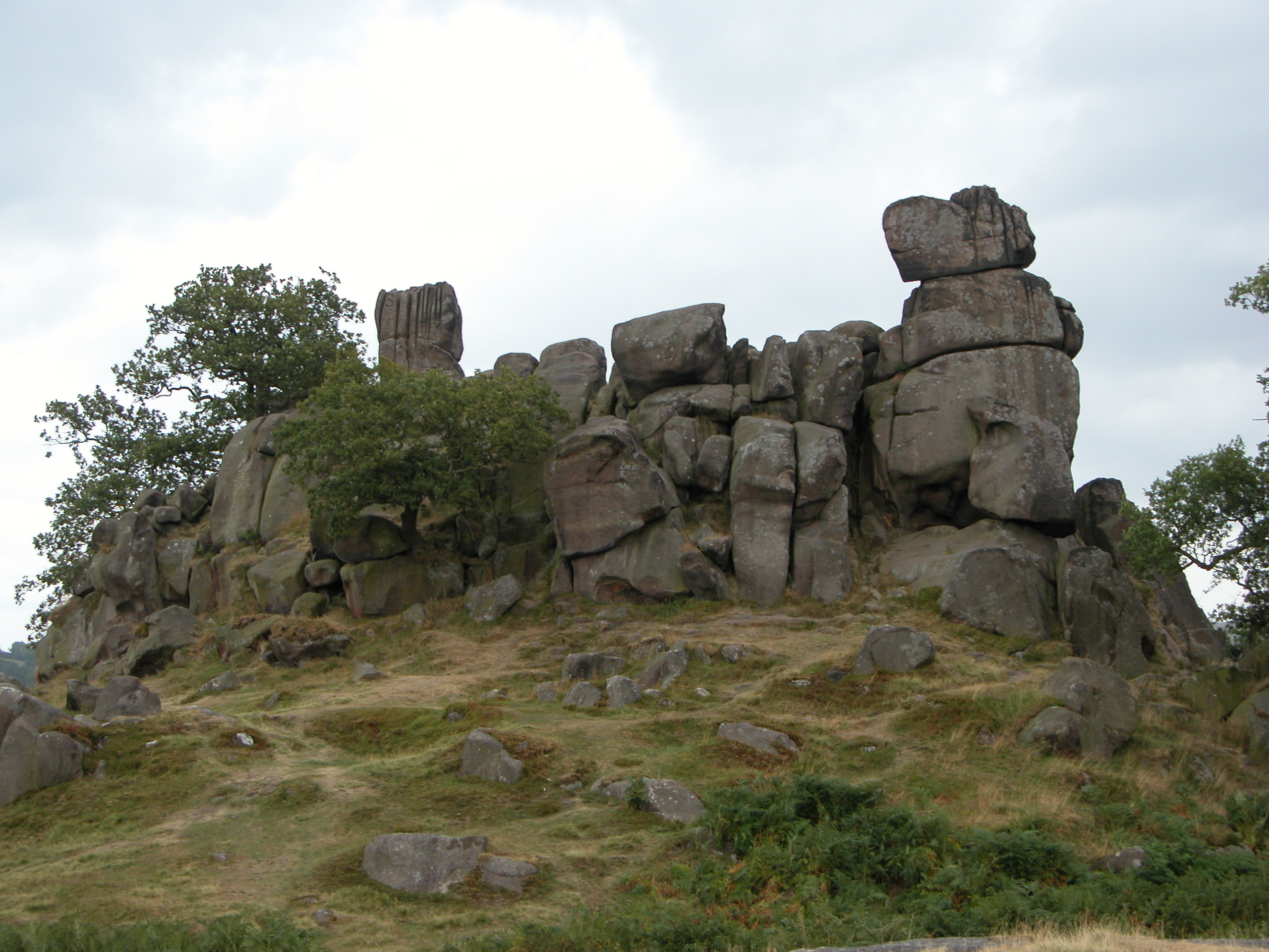
The wood has a rich history, with evidence of human habitation dating back to the Bronze Age. Ancient earthworks and burial mounds can still be found within its boundaries, adding an extra layer of intrigue to this beautiful natural site.

Overall, Cratcliff Wood is a haven of tranquility and natural beauty, offering visitors the chance to immerse themselves in the wonders of nature while exploring the rich history of the area.

If you have any feedback on the listing, please let us know in the comments section below.

Cratcliff Wood Images

Images are sourced within 2km of 53.157467/-1.6588987 or Grid Reference SK2262. Thanks to Geograph Open Source API. All images are credited.

Path down from Stanton Moor
Leaning oak Wind-blown on Stanton Moor.
Leaning oak
Wind-blown on Stanton Moor.
Path to Birchover Crossing the declivity between Winster and Birchover.
Path to Birchover
Crossing the declivity between Winster and Birchover.
Path from Winster to Birchover Necessarily paved because the ground can be soggy. It is crossing rough grazing land which does not seem to be currently grazed.
Path from Winster to Birchover
Necessarily paved because the ground can be soggy. It is crossing rough grazing land which does not seem to be currently grazed.
Footpath to Winster It crosses an area of rough grazing with a propensity to be very soft when damp. It is fine in the summer months.
Footpath to Winster
It crosses an area of rough grazing with a propensity to be very soft when damp. It is fine in the summer months.
Path to Birchover It is necessary to climb up Birchover Edge.
Path to Birchover
It is necessary to climb up Birchover Edge.
Path to Winster The village of Winster is seen on the hill ahead.
Path to Winster
The village of Winster is seen on the hill ahead.
Fields near Birchover The village is seen in the background from this point on Birchover Edge.
Fields near Birchover
The village is seen in the background from this point on Birchover Edge.
Fields below Birchover Edge Looking roughly towards Winster which is slightly off to the left.
Fields below Birchover Edge
Looking roughly towards Winster which is slightly off to the left.
Fields below Birchover Looking down towards the valley of Ivy Bar Brook.
Fields below Birchover
Looking down towards the valley of Ivy Bar Brook.
Ruined barn near Birchover Hermit's Cave and Robin Hood's Stride are rocky outcrops on the opposite hill.
Ruined barn near Birchover
Hermit's Cave and Robin Hood's Stride are rocky outcrops on the opposite hill.
Path towards Elton Elton is over the top of the hill seen ahead.
Path towards Elton
Elton is over the top of the hill seen ahead.
Path to Birchover The path leaves Dudwood Lane by Meadowside Farm. The field has been harvested for silage.
Path to Birchover
The path leaves Dudwood Lane by Meadowside Farm. The field has been harvested for silage.
Barn by Dudwood Lane The valley of Ivy Bar Brook is down to the right, and Bradley Rocks are in the trees on the other side.
Barn by Dudwood Lane
The valley of Ivy Bar Brook is down to the right, and Bradley Rocks are in the trees on the other side.
The top of Dudwood Lane The lane is also the route of the Limestone Way.
The top of Dudwood Lane
The lane is also the route of the Limestone Way.
Hilltop fields near Elton The top is a bit further out of sight, on Blake Low.
Hilltop fields near Elton
The top is a bit further out of sight, on Blake Low.
Field near Elton The eastern end of the village can be seen.
Field near Elton
The eastern end of the village can be seen.
Islington Lane A farm track near Elton which is also the route of the Limestone Way.
Islington Lane
A farm track near Elton which is also the route of the Limestone Way.
Show me another place!

Cratcliff Wood is located at Grid Ref: SK2262 (Lat: 53.157467, Lng: -1.6588987)

Administrative County: Derbyshire

District: Derbyshire Dales

Police Authority: Derbyshire

What 3 Words

///rejoiced.wonderful.giraffes. Near Youlgreave, Derbyshire

Related Wikis

Robin Hood's Stride

Robin Hood's Stride (also known as Mock Beggar's Mansion) is a rock formation on the Limestone Way in Derbyshire close to the village of Elton. The nearest...

Nine Stones Close

Nine Stones Close, also known as the Grey Ladies, is a stone circle on Harthill Moor in Derbyshire in the English East Midlands. It is part of a tradition...

St Michael's Church, Birchover

St Michael's Church, Birchover, also known as Rowtor Chapel, is a Grade II listed parish church in the Church of England in Birchover, Derbyshire. Located...

Birchover

Birchover is a village and civil parish in the Peak District National Park in Derbyshire, England, five miles north-west of Matlock. At the 2001 Census...

Derbyshire Dales (UK Parliament constituency)

Derbyshire Dales ( DAR-bee-sheer, -⁠shər) is a constituency that has been represented in the House of Commons of the UK Parliament since 2019 by Sarah...

Doll Tor

Doll Tor is a stone circle located just to the west of Stanton Moor, near the village of Birchover, Derbyshire in the English East Midlands. Doll Tor is...

Harthill, Derbyshire

Harthill is a civil parish within the Derbyshire Dales district, in the county of Derbyshire, England. Largely rural, along with parts of the neighbouring...
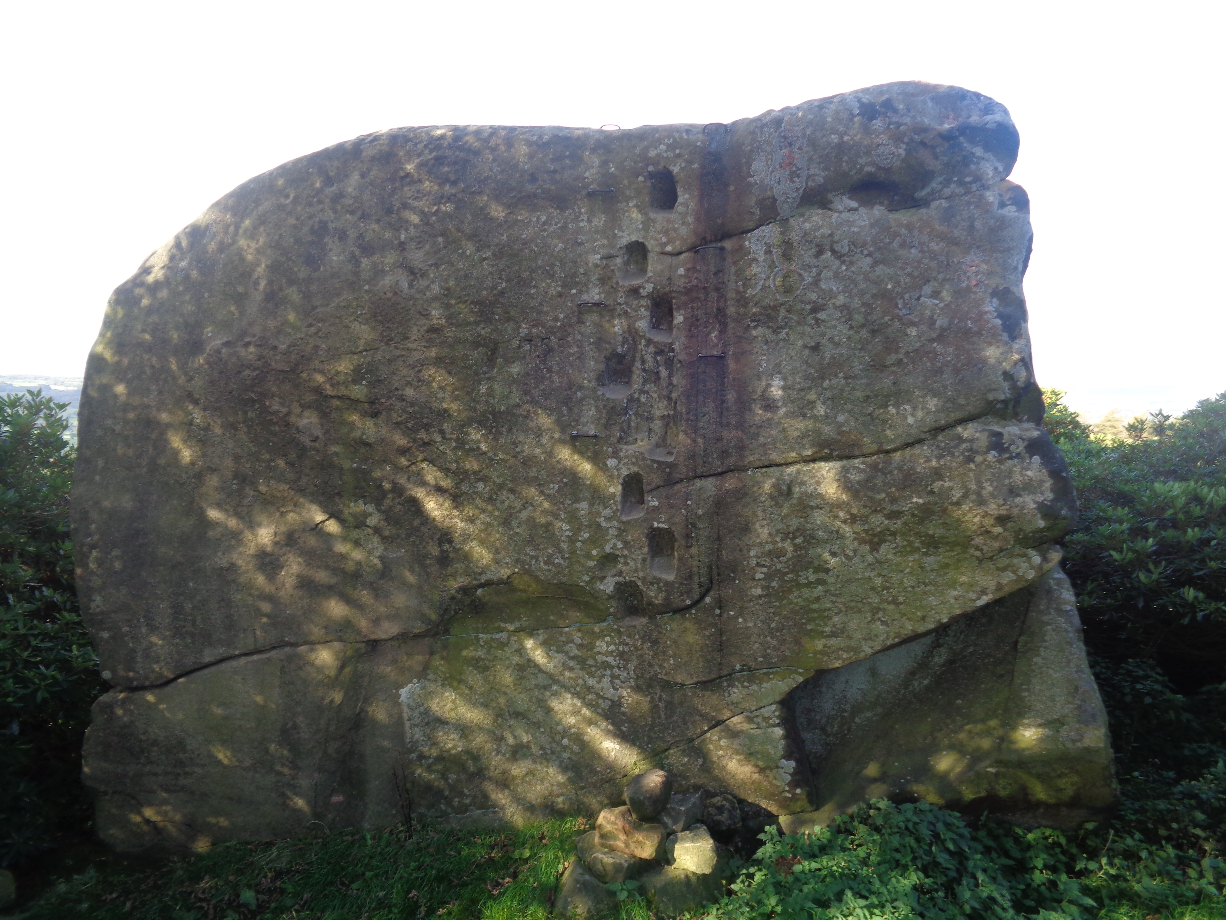
Andle Stone

The Andle Stone is a large gritstone boulder on Stanton Moor in Derbyshire. The stone block is 6m long, 4m high and lies within a low, circular, dry stone...
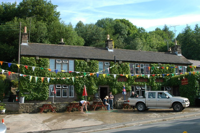
Nearby Amenities

Located within 500m of 53.157467,-1.6588987
Barrier: stile
Lat/Long: 53.1587262/-1.6561118
Bus Stop
Bus: yes
Public Transport: platform
Lat/Long: 53.1606088/-1.6549124
Bus Stop
Bus: yes
Public Transport: platform
Lat/Long: 53.1607632/-1.6549639
Barrier: cattle_grid
Lat/Long: 53.1533799/-1.6599163
Barrier: stile
Ele: 201.0000000
Steps: 2
Stile: stepover
Lat/Long: 53.1553114/-1.6565156
Parking
Access: yes
Ele: 169
Fee: no
Parking: layby
Surface: gravel
Lat/Long: 53.1538582/-1.6592649
Barrier: stile
Steps: 2
Stile: wall
Lat/Long: 53.1558674/-1.6542359
Ele: 208.0000000
Lat/Long: 53.1557593/-1.6542062
Ele: 207.0000000
Lat/Long: 53.1550355/-1.6563107
Bench
Hilary's seat
Ele: 217.0000000
Lat/Long: 53.157091/-1.6636422
Barrier: stile
Ele: 231.0000000
Material: stone
Source: survey
Steps: 2
Stile: stepover
Lat/Long: 53.1573586/-1.6645692
Barrier: stile
Ele: 230.0000000
Steps: 1
Stile: wall
Lat/Long: 53.1579691/-1.662049
Robin Hood's Stride
Natural: peak
Sport: climbing
Lat/Long: 53.1570297/-1.6658699
Barrier: stile
Ele: 171.0000000
Foot: yes
Lat/Long: 53.1533679/-1.6599384
Barrier: stile
Material: stone
Source: survey;gps
Stile: squeezer
Lat/Long: 53.1547989/-1.6559449
Barrier: stile
Material: stone
Source: survey;gps
Stile: squeezer
Lat/Long: 53.1576798/-1.6653089
Barrier: stile
Material: wood
Source: survey;gps
Stile: stepover
Lat/Long: 53.1576904/-1.6649778
Eagle Tor
Natural: peak
Lat/Long: 53.1551438/-1.6538238
Robin Hood Viewpoint
Tourism: viewpoint
Lat/Long: 53.1571378/-1.6659492
Hermits Cave
Natural: cave_entrance
Lat/Long: 53.1577095/-1.6607304
Crucifixion
Artwork Type: sculpture
Material: stone
Tourism: artwork
Lat/Long: 53.1577115/-1.6607043
Bench
Backrest: yes
Material: metal
Lat/Long: 53.1570429/-1.6637182
The data included in this document is from www.openstreetmap.org. The data is made available under ODbL.

Have you been to Cratcliff Wood?

Leave your review of Cratcliff Wood below (or comments, questions and feedback).