Castle Ring

Heritage Site in Derbyshire Derbyshire Dales

England

Castle Ring

Path down from Stanton Moor
Path down from Stanton Moor Credit: David Lally

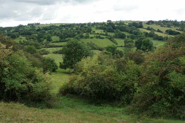
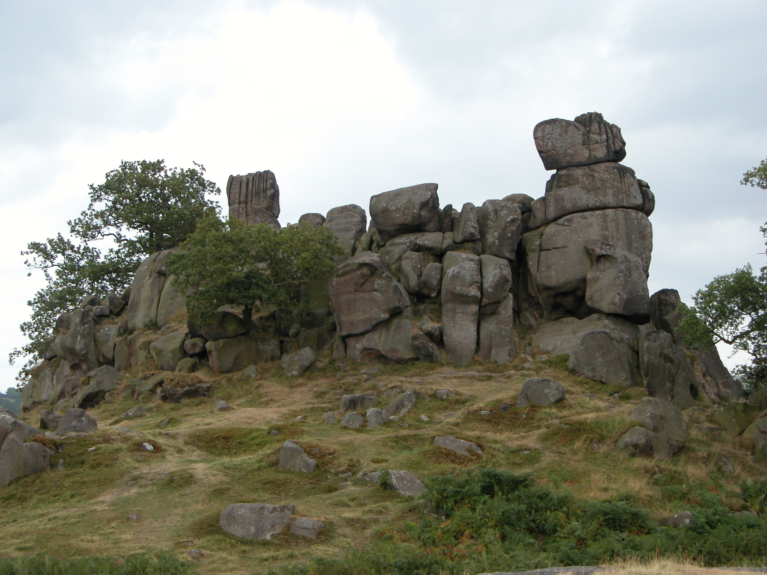
Castle Ring is a historic heritage site located in Derbyshire, England. Situated near the village of Castle Ring, the site is of great archaeological and historical significance. The main feature of the site is a large Iron Age hill fort, which dates back to around 400 BC. Nestled within the Peak District National Park, Castle Ring offers stunning panoramic views of the surrounding countryside.

The hill fort covers an area of approximately 2.5 acres and is surrounded by a well-preserved defensive ditch and earthwork ramparts. These fortifications are believed to have been constructed as a means of protection against potential invaders. The site also contains evidence of occupation during the Roman period, with pottery fragments and coins discovered in the vicinity.

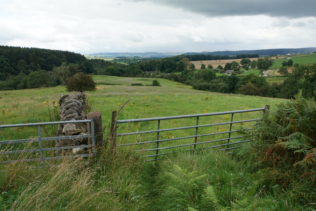
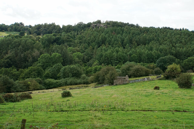
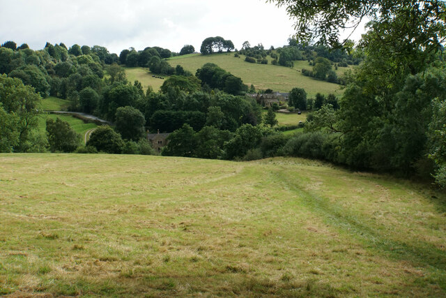
Visitors to Castle Ring can explore the ancient ruins and get a sense of what life may have been like during the Iron Age. The site offers a variety of walking paths and trails, allowing visitors to take in the natural beauty of the area while experiencing its rich historical significance. The hill fort is particularly popular with hikers and history enthusiasts, who are drawn to its commanding position and intriguing past.

Castle Ring is a designated Scheduled Ancient Monument, meaning it is legally protected and recognized for its historical importance. It offers a unique opportunity to step back in time and gain insight into the lives of our ancestors.

If you have any feedback on the listing, please let us know in the comments section below.
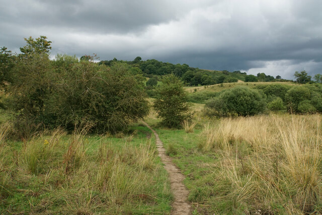
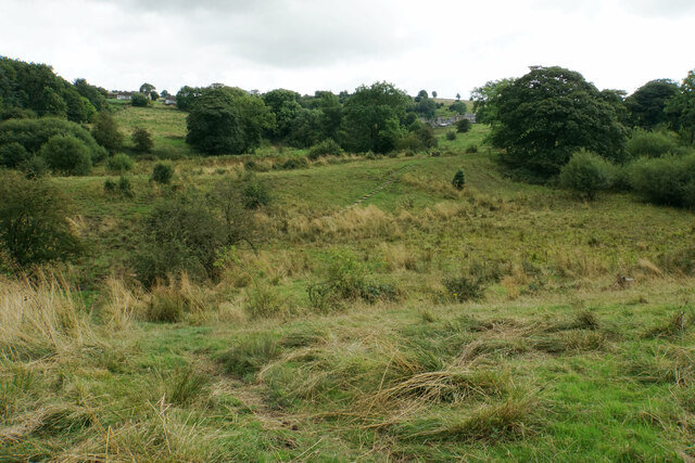
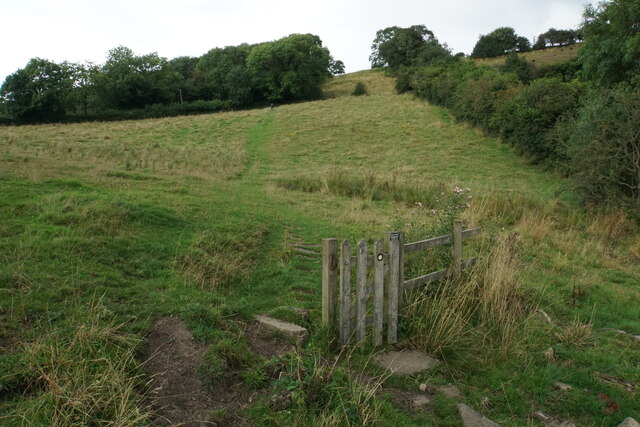
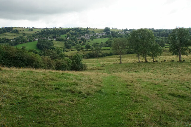
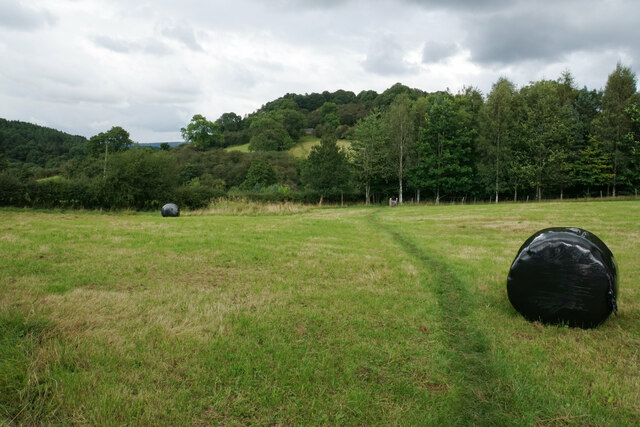
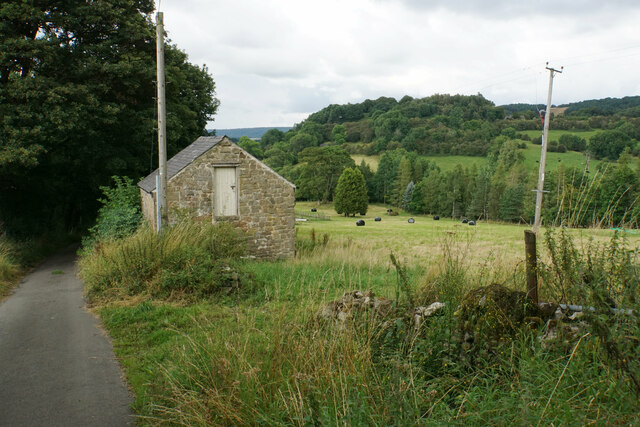
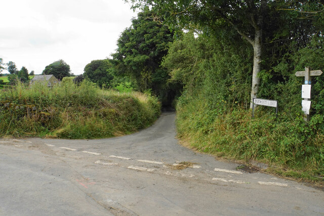
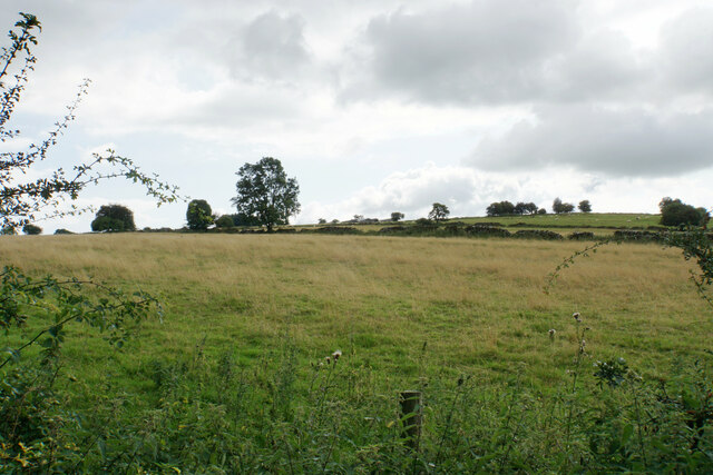
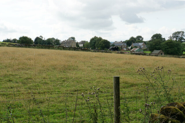
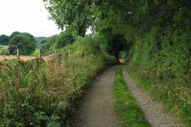
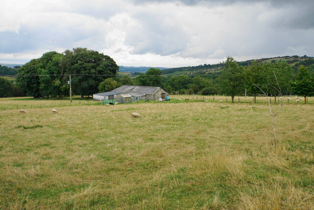
Castle Ring Images

Images are sourced within 2km of 53.158/-1.663 or Grid Reference SK2262. Thanks to Geograph Open Source API. All images are credited.

Path down from Stanton Moor
Leaning oak Wind-blown on Stanton Moor.
Leaning oak
Wind-blown on Stanton Moor.
Path from Winster to Birchover Necessarily paved because the ground can be soggy. It is crossing rough grazing land which does not seem to be currently grazed.
Path from Winster to Birchover
Necessarily paved because the ground can be soggy. It is crossing rough grazing land which does not seem to be currently grazed.
Footpath to Winster It crosses an area of rough grazing with a propensity to be very soft when damp. It is fine in the summer months.
Footpath to Winster
It crosses an area of rough grazing with a propensity to be very soft when damp. It is fine in the summer months.
Path to Birchover It is necessary to climb up Birchover Edge.
Path to Birchover
It is necessary to climb up Birchover Edge.
Path to Winster The village of Winster is seen on the hill ahead.
Path to Winster
The village of Winster is seen on the hill ahead.
Fields near Birchover The village is seen in the background from this point on Birchover Edge.
Fields near Birchover
The village is seen in the background from this point on Birchover Edge.
Fields below Birchover Edge Looking roughly towards Winster which is slightly off to the left.
Fields below Birchover Edge
Looking roughly towards Winster which is slightly off to the left.
Fields below Birchover Looking down towards the valley of Ivy Bar Brook.
Fields below Birchover
Looking down towards the valley of Ivy Bar Brook.
Ruined barn near Birchover Hermit's Cave and Robin Hood's Stride are rocky outcrops on the opposite hill.
Ruined barn near Birchover
Hermit's Cave and Robin Hood's Stride are rocky outcrops on the opposite hill.
Path towards Elton Elton is over the top of the hill seen ahead.
Path towards Elton
Elton is over the top of the hill seen ahead.
Path to Birchover The path leaves Dudwood Lane by Meadowside Farm. The field has been harvested for silage.
Path to Birchover
The path leaves Dudwood Lane by Meadowside Farm. The field has been harvested for silage.
Barn by Dudwood Lane The valley of Ivy Bar Brook is down to the right, and Bradley Rocks are in the trees on the other side.
Barn by Dudwood Lane
The valley of Ivy Bar Brook is down to the right, and Bradley Rocks are in the trees on the other side.
The top of Dudwood Lane The lane is also the route of the Limestone Way.
The top of Dudwood Lane
The lane is also the route of the Limestone Way.
Hilltop fields near Elton The top is a bit further out of sight, on Blake Low.
Hilltop fields near Elton
The top is a bit further out of sight, on Blake Low.
Field near Elton The eastern end of the village can be seen.
Field near Elton
The eastern end of the village can be seen.
Islington Lane A farm track near Elton which is also the route of the Limestone Way.
Islington Lane
A farm track near Elton which is also the route of the Limestone Way.
Farm on Chadwick Hill Looking down from Islington Lane. The Derwent valley is just about seen in the distance.
Farm on Chadwick Hill
Looking down from Islington Lane. The Derwent valley is just about seen in the distance.
Show me another place!

Castle Ring is located at Grid Ref: SK2262 (Lat: 53.158, Lng: -1.663)

Administrative County: Derbyshire

District: Derbyshire Dales

Police Authority: Derbyshire

What 3 Words

///gloom.deprive.taxpayers. Near Youlgreave, Derbyshire

Related Wikis

Robin Hood's Stride

Robin Hood's Stride (also known as Mock Beggar's Mansion) is a rock formation on the Limestone Way in Derbyshire close to the village of Elton. The nearest...

Nine Stones Close

Nine Stones Close, also known as the Grey Ladies, is a stone circle on Harthill Moor in Derbyshire in the English East Midlands. It is part of a tradition...

St Michael's Church, Birchover

St Michael's Church, Birchover, also known as Rowtor Chapel, is a Grade II listed parish church in the Church of England in Birchover, Derbyshire. Located...

Harthill, Derbyshire

Harthill is a civil parish within the Derbyshire Dales district, in the county of Derbyshire, England. Largely rural, along with parts of the neighbouring...

Harthill Moor

Harthill Moor is a small upland area in the Derbyshire Peak District of central and northern England, lying between Matlock and Bakewell near the villages...

Birchover

Birchover is a village and civil parish in the Peak District National Park in Derbyshire, England, five miles north-west of Matlock. At the 2001 Census...

Derbyshire Dales (UK Parliament constituency)

Derbyshire Dales ( DAR-bee-sheer, -⁠shər) is a constituency that has been represented in the House of Commons of the UK Parliament since 2019 by Sarah...

Doll Tor

Doll Tor is a stone circle located just to the west of Stanton Moor, near the village of Birchover, Derbyshire in the English East Midlands. Doll Tor is...

Nearby Amenities

Located within 500m of 53.158,-1.663
Barrier: stile
Lat/Long: 53.1587262/-1.6561118
Barrier: stile
Foot: yes
Material: stone
Stile: stepover
Lat/Long: 53.1592741/-1.6666134
Bench
Hilary's seat
Ele: 217.0000000
Lat/Long: 53.157091/-1.6636422
Barrier: stile
Stile: squeezer
Lat/Long: 53.1587479/-1.6690563
Barrier: stile
Ele: 236.0000000
Steps: 3
Stile: wall
Lat/Long: 53.1578411/-1.666586
Barrier: stile
Ele: 231.0000000
Material: stone
Source: survey
Steps: 2
Stile: stepover
Lat/Long: 53.1573586/-1.6645692
Barrier: stile
Ele: 230.0000000
Steps: 1
Stile: wall
Lat/Long: 53.1579691/-1.662049
Barrier: stile
Foot: yes
Lat/Long: 53.1604973/-1.6677309
Robin Hood's Stride
Natural: peak
Sport: climbing
Lat/Long: 53.1570297/-1.6658699
Barrier: stile
Material: stone
Source: survey;gps
Stile: squeezer
Lat/Long: 53.1576798/-1.6653089
Barrier: stile
Material: wood
Source: survey;gps
Stile: stepover
Lat/Long: 53.1576904/-1.6649778
Robin Hood Viewpoint
Tourism: viewpoint
Lat/Long: 53.1571378/-1.6659492
Hermits Cave
Natural: cave_entrance
Lat/Long: 53.1577095/-1.6607304
Crucifixion
Artwork Type: sculpture
Material: stone
Tourism: artwork
Lat/Long: 53.1577115/-1.6607043
Barrier: stile
Material: stone
Source: survey;gps
Stile: stepover
Lat/Long: 53.1604972/-1.6679216
Bench
Backrest: yes
Material: metal
Lat/Long: 53.1570429/-1.6637182
The data included in this document is from www.openstreetmap.org. The data is made available under ODbL.

Have you been to Castle Ring?

Leave your review of Castle Ring below (or comments, questions and feedback).