Acre Howden Plantation

Wood, Forest in Yorkshire Richmondshire

England

Acre Howden Plantation

Barton, was King William IV pub The King William IV pub, that was, is on the south side of the east/west road that runs through Barton village. It is now a private residence. On the north facing wall, on a right cornerstone of the front facia, is a benchmark. It is on the 2nd stone course.
Barton, was King William IV pub Credit: Mel Towler

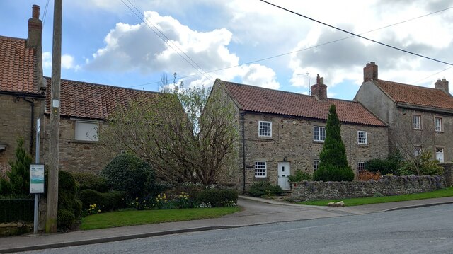
Acre Howden Plantation, located in Yorkshire, England, is a picturesque woodland area sprawling across acres of land. This expansive forest is known for its natural beauty and diverse flora and fauna. The plantation is situated near the village of Howden, providing a serene escape from the bustling city life.

The woodland is predominantly composed of a variety of tree species, including oak, birch, beech, and pine, creating a lush green canopy that stretches as far as the eye can see. The dense foliage and tall trees make Acre Howden Plantation an ideal habitat for numerous wildlife species, such as deer, foxes, badgers, and a wide array of bird species.

Visitors to Acre Howden Plantation can explore the forest's network of well-maintained walking trails, allowing them to immerse themselves in the peaceful surroundings. The plantation also offers opportunities for outdoor activities, such as hiking, birdwatching, and nature photography.

The plantation is managed by local authorities and conservation organizations, who work tirelessly to preserve and protect the natural ecosystem of Acre Howden Plantation. They actively engage in sustainable practices, ensuring the forest's long-term viability and ecological balance.

Acre Howden Plantation serves as a haven for nature enthusiasts and a valuable resource for scientific research and education. Its accessibility and tranquility make it a popular destination for both locals and tourists seeking solace in the beauty of nature. Whether one seeks a leisurely stroll or an immersive wildlife experience, Acre Howden Plantation offers a captivating and rejuvenating escape into the heart of Yorkshire's woodlands.

If you have any feedback on the listing, please let us know in the comments section below.

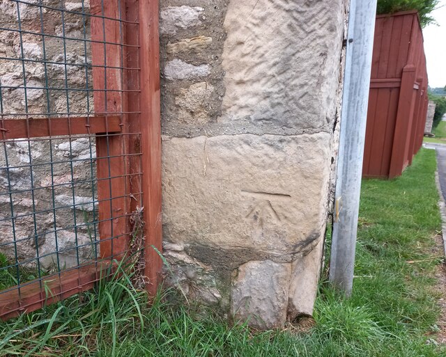
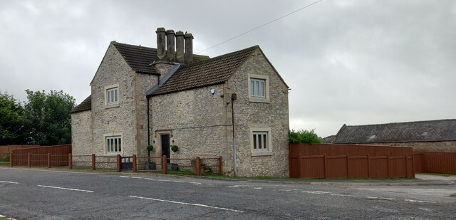
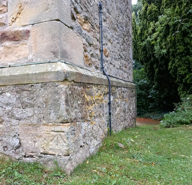
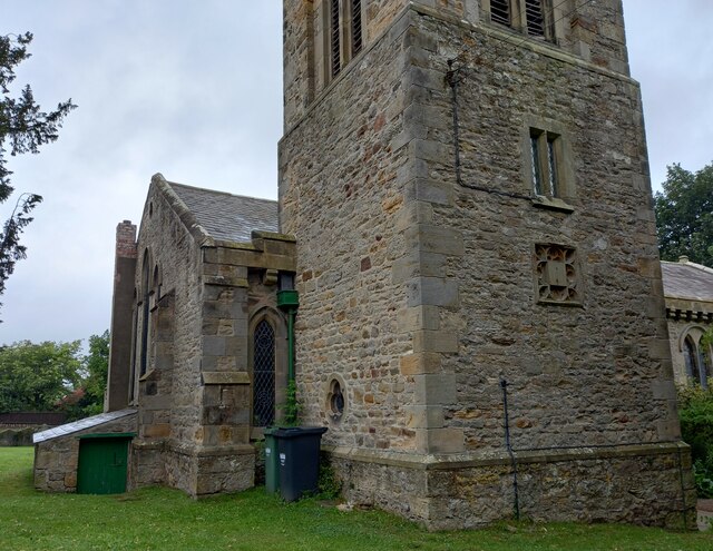
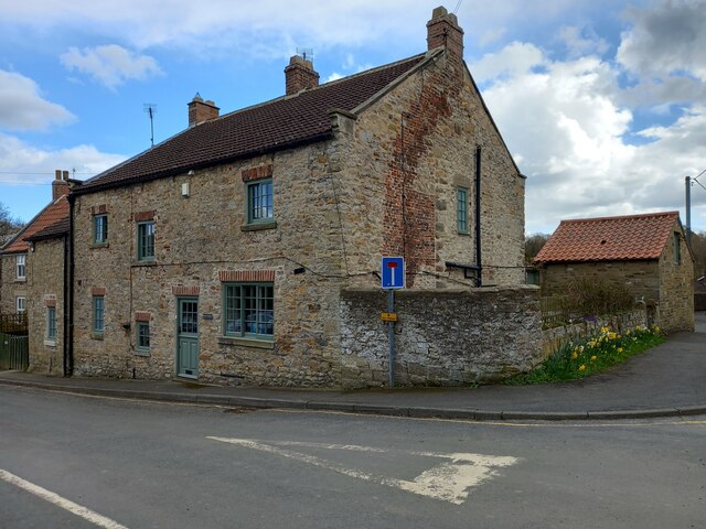
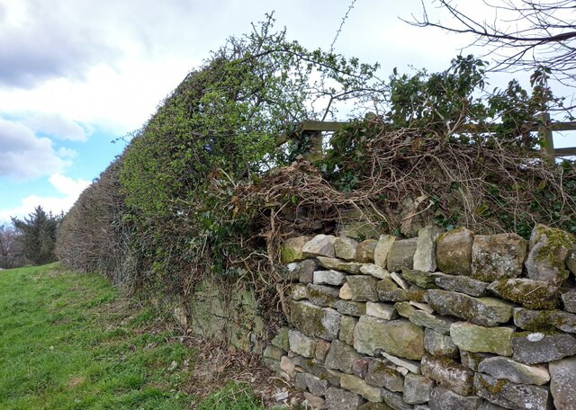
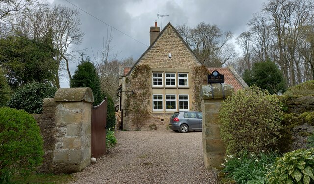
Acre Howden Plantation Images

Images are sourced within 2km of 54.460279/-1.6569259 or Grid Reference NZ2207. Thanks to Geograph Open Source API. All images are credited.

Barton, was King William IV pub The King William IV pub, that was, is on the south side of the east/west road that runs through Barton village. It is now a private residence. On the north facing wall, on a right cornerstone of the front facia, is a benchmark. It is on the 2nd stone course.
Barton, was King William IV pub
The King William IV pub, that was, is on the south side of the east/west road that runs through Barton village. It is now a private residence. On the north facing wall, on a right cornerstone of the front facia, is a benchmark. It is on the 2nd stone course.
Barton, was King William IV pub A wider angle showing The King William IV pub, that was. It is on the south side of the east/west road that runs through Barton village. It is now a private residence. On the north facing wall, on a right cornerstone of the front facia, is a benchmark. It is on the 2nd stone course.
Barton, was King William IV pub
A wider angle showing The King William IV pub, that was. It is on the south side of the east/west road that runs through Barton village. It is now a private residence. On the north facing wall, on a right cornerstone of the front facia, is a benchmark. It is on the 2nd stone course.
Barton, St Cuthbert's with St Mary's church This is the west face of the tower of the village church. There is a benchmark on the 2nd block cornerstone and still in very good condition.
Barton, St Cuthbert's with St Mary's church
This is the west face of the tower of the village church. There is a benchmark on the 2nd block cornerstone and still in very good condition.
Barton, St Cuthbert's with St Mary's church A wider angle showing the west face of the tower of the village church. There is a benchmark on the 2nd block cornerstone and still in very good condition.
Barton, St Cuthbert's with St Mary's church
A wider angle showing the west face of the tower of the village church. There is a benchmark on the 2nd block cornerstone and still in very good condition.
Barton, Mary Gate This property is on the south side of Mary Gate, and to the east of the village ford. On the north-east facing front facia there is a bench mark cut into the right cornerstone of the property.
Barton, Mary Gate
This property is on the south side of Mary Gate, and to the east of the village ford. On the north-east facing front facia there is a bench mark cut into the right cornerstone of the property.
Old Milestone, Middleton Tyas Carved stone post by Middleton Tyas Lane (u/c road) opposite Kneeton Lane, in the parish of Middleton Tyas (Richmondshire District) on the South side of road. Tyas stone, erected by the Darlington to Middleton Tyas turnpike trust in the 19th century. Repaired and repositioned since 2003, see <a href="https://www.geograph.org.uk/photo/6102730">NZ2205 : Old Milestone in Middleton Tyas</a>.

Inscription reads:- : Catteric(k) / Bridge / 5 // Greta / Bridge / 9

Milestone Society National ID: YN_CBGB05
Old Milestone, Middleton Tyas
Carved stone post by Middleton Tyas Lane (u/c road) opposite Kneeton Lane, in the parish of Middleton Tyas (Richmondshire District) on the South side of road. Tyas stone, erected by the Darlington to Middleton Tyas turnpike trust in the 19th century. Repaired and repositioned since 2003, see NZ2205 : Old Milestone in Middleton Tyas. Inscription reads:- : Catteric(k) / Bridge / 5 // Greta / Bridge / 9 Milestone Society National ID: YN_CBGB05
Middleton Tyas, Middleton Tyas Lane The benchmark and bolt are cut into the road facing wall of a cottage on the south side of the lane.
Middleton Tyas, Middleton Tyas Lane
The benchmark and bolt are cut into the road facing wall of a cottage on the south side of the lane.
Middleton Tyas, Middleton Tyas Lane There is a benchmark and bolt cut into the road facing wall of the cottage to the right of the drive way. the mark is to the right of the drainpipe.
Middleton Tyas, Middleton Tyas Lane
There is a benchmark and bolt cut into the road facing wall of the cottage to the right of the drive way. the mark is to the right of the drainpipe.
Middleton Tyas, old school The OS Flush Bracket 2178 is embedded into the old village school, which is now Unnamed House.
Middleton Tyas, old school
The OS Flush Bracket 2178 is embedded into the old village school, which is now Unnamed House.
Middleton Tyas, old school The OS Flush Bracket 2178 is embedded into the old village school, which is now Unnamed House. It is located on the right of the gable end, on the lower courses of stone.
Middleton Tyas, old school
The OS Flush Bracket 2178 is embedded into the old village school, which is now Unnamed House. It is located on the right of the gable end, on the lower courses of stone.
Middleton Tyas, Cow Lane The benchmark is cut into the road facing wall of Rookery Gardens.
Middleton Tyas, Cow Lane
The benchmark is cut into the road facing wall of Rookery Gardens.
Middleton Tyas, Cow Lane There is a benchmark cut into the road facing wall of Rookery Gardens. It is to the left of the joint between the roadside wall and the house.
Middleton Tyas, Cow Lane
There is a benchmark cut into the road facing wall of Rookery Gardens. It is to the left of the joint between the roadside wall and the house.
Middleton Tyas, Cow Lane According to the OS benchmark database along this stretch of wall was a rivet and benchmark cut into the drystone wall. The wall is broken along the top courses with ivy having rooted itself. It is likely that the benchmark has been destroyed.
Middleton Tyas, Cow Lane
According to the OS benchmark database along this stretch of wall was a rivet and benchmark cut into the drystone wall. The wall is broken along the top courses with ivy having rooted itself. It is likely that the benchmark has been destroyed.
Middleton Tyas, The Old Schoolhouse The OS Flush Bracket 2177 is embedded in the north-west face of the Old Schoolhouse.
Middleton Tyas, The Old Schoolhouse
The OS Flush Bracket 2177 is embedded in the north-west face of the Old Schoolhouse.
Middleton Tyas, The Old Schoolhouse The OS Flush Bracket 2177 is embedded in the north-west face of the Old Schoolhouse.
Middleton Tyas, The Old Schoolhouse
The OS Flush Bracket 2177 is embedded in the north-west face of the Old Schoolhouse.
Fields by the A1(M)
Fields by the A1(M)
OS Flush Bracket 2179 - Little Hangbank Bridge This area has a very unusual concentration of 2GL Flush Brackets
<span class="nowrap"><a title="https://www.bench-marks.org.uk/bm10212" rel="nofollow ugc noopener" href="https://www.bench-marks.org.uk/bm10212">Link</a><img style="margin-left:2px;" alt="External link" title="External link - shift click to open in new window" src="https://s1.geograph.org.uk/img/external.png" width="10" height="10"/></span>

<span class="nowrap"><a title="https://www.bench-marks.org.uk/help/flush" rel="nofollow ugc noopener" href="https://www.bench-marks.org.uk/help/flush">Link</a><img style="margin-left:2px;" alt="External link" title="External link - shift click to open in new window" src="https://s1.geograph.org.uk/img/external.png" width="10" height="10"/></span>
2GL Series
Flush brackets were first used during the 2nd Geodetic Levelling of England & Wales between 1912 and 1921. The 2GL series was numbered from OSBM 1 to OSBM 3000 and did not have a prefix letter. The vast majority of the flush brackets in the 2GL series were placed on walls and buildings, but a small number were used on triangulation pillars. There are 48 examples of these listed in the database, all in the range OSBM 2732 to OSBM 2999.

In addition to England and Wales, the survey also covered part of the southeast of Scotland, in roughly the area between Newcastleton, Dunbar, and Berwick upon Tweed.
OS Flush Bracket 2179 - Little Hangbank Bridge
This area has a very unusual concentration of 2GL Flush Brackets LinkExternal link LinkExternal link 2GL Series Flush brackets were first used during the 2nd Geodetic Levelling of England & Wales between 1912 and 1921. The 2GL series was numbered from OSBM 1 to OSBM 3000 and did not have a prefix letter. The vast majority of the flush brackets in the 2GL series were placed on walls and buildings, but a small number were used on triangulation pillars. There are 48 examples of these listed in the database, all in the range OSBM 2732 to OSBM 2999. In addition to England and Wales, the survey also covered part of the southeast of Scotland, in roughly the area between Newcastleton, Dunbar, and Berwick upon Tweed.
Show me another place!

Acre Howden Plantation is located at Grid Ref: NZ2207 (Lat: 54.460279, Lng: -1.6569259)

Division: North Riding

Administrative County: North Yorkshire

District: Richmondshire

Police Authority: North Yorkshire

What 3 Words

///brings.ironclad.closer. Near Scorton, North Yorkshire

Related Wikis

Middleton Lodge

Middleton Lodge is a Georgian Palladian mansion set within 200 acres (0.81 km2) of open countryside, on the outskirts of the village of Middleton Tyas...

Middleton Tyas

Middleton Tyas is a village and civil parish in the Richmondshire district of North Yorkshire, England. It is located near Scotch Corner. == History... ==

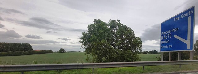
Barton, North Yorkshire

Barton is a village and civil parish in the Richmondshire district of North Yorkshire, England. According to the 2011 census it had a population of 837...

Gilling with Hartforth and Sedbury

Gilling with Hartforth and Sedbury is a civil parish in North Yorkshire, England. It includes the villages of Gilling West and Hartforth. The civil parish...

Scotch Corner

Scotch Corner is a junction of the A1(M) and A66 trunk roads near Richmond in North Yorkshire, England. It has been described as "the modern gateway to...

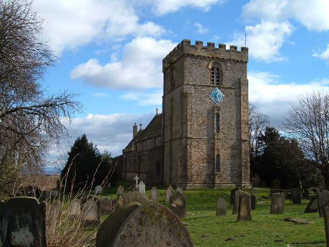
St James' Church, Melsonby

St James' Church is in the village of Melsonby, North Yorkshire, England. It is an Anglican parish church in the deanery of Richmond, the archdeaconry...

Melsonby

Melsonby is a village and civil parish in the Richmondshire district of North Yorkshire, England. It lies a 1.2 miles (2 km) west of the A1(M) motorway...

Newton Morrell

Newton Morrell is a village and civil parish in the Richmondshire district of North Yorkshire, England. It is 6 miles (9 km) from Darlington and 2 miles...

Related Videos

Atlas Debonair 36.12 2 bed at Scotch Corner Holiday Homes

Double Glazed With Gas Central Heating Patio Front Door 2016 model Call 0330 133 3616 for details.

Middleton Tyas 🇬🇧 England - peaceful walk around the village in 4k⁵⁰fps

Hello my friends and welcome back to my channel ! This is a small walking tour around one of the most beautiful and peaceful ...

Have you been to Acre Howden Plantation?

Leave your review of Acre Howden Plantation below (or comments, questions and feedback).