Lodge Covert
Wood, Forest in Yorkshire Richmondshire
England
Lodge Covert
Lodge Covert is a picturesque woodland area located in Yorkshire, England. Nestled within the beautiful Yorkshire countryside, this forested region offers a tranquil and serene escape for nature enthusiasts and adventurers alike.
Covering an extensive area of lush greenery, Lodge Covert is known for its diverse range of trees, including oak, beech, and birch, which create a stunning canopy overhead. The forest floor is adorned with a variety of wildflowers, ferns, and mosses, adding to the area's natural charm. The dense foliage provides a habitat for numerous species of wildlife, including birds, squirrels, and deer, making it a popular spot for birdwatching and wildlife observation.
Visitors to Lodge Covert can explore the forest through a network of well-maintained walking trails, which wind their way through the woodland, offering breathtaking views and opportunities for peaceful reflection. The trails range in difficulty, making them suitable for both casual walkers and more experienced hikers.
In addition to its natural beauty, Lodge Covert also boasts several amenities for visitors. There are picnic areas scattered throughout the forest, providing a perfect setting for a family outing or a romantic lunch surrounded by nature. The forest also offers camping facilities, allowing visitors to immerse themselves fully in the tranquility of the woodland.
Lodge Covert is a hidden gem in Yorkshire, offering a haven of peace and natural beauty. Whether you're looking for a leisurely stroll, a birdwatching adventure, or simply a place to unwind and reconnect with nature, this woodland retreat is sure to captivate your senses and leave you with a lasting appreciation for the wonders of the Yorkshire countryside.
If you have any feedback on the listing, please let us know in the comments section below.
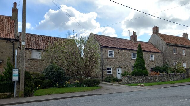
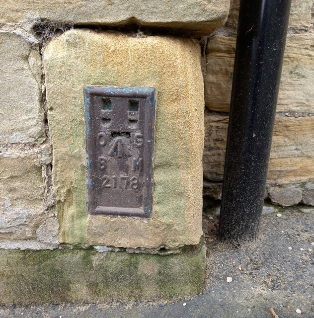
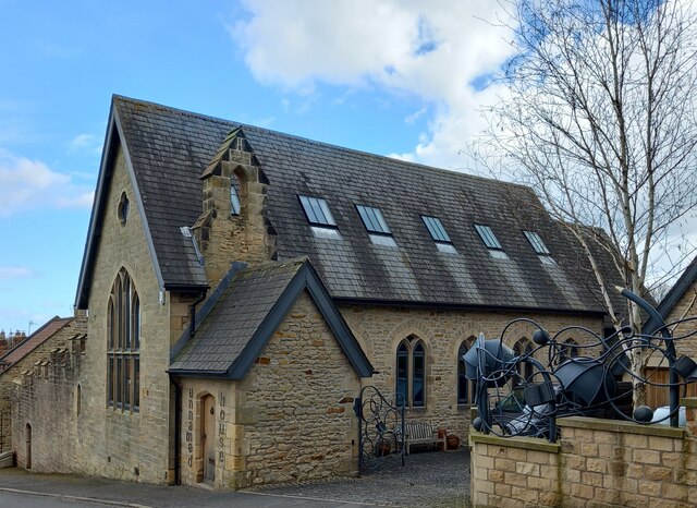
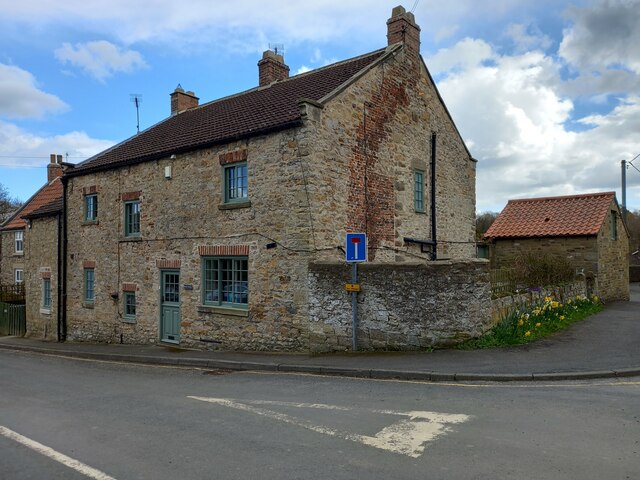
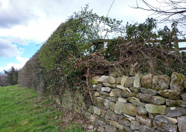
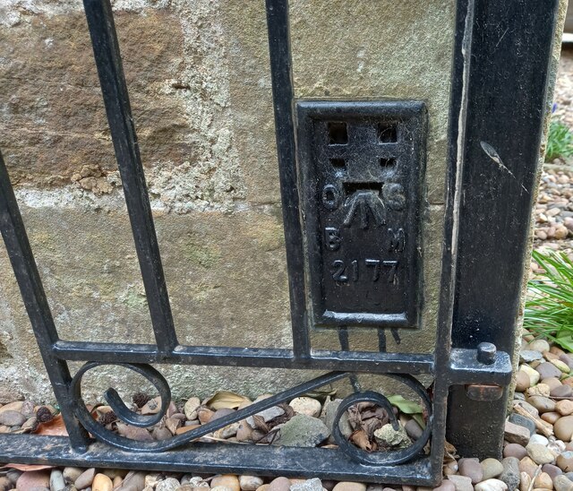
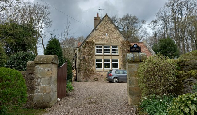
Lodge Covert Images
Images are sourced within 2km of 54.460939/-1.6550384 or Grid Reference NZ2207. Thanks to Geograph Open Source API. All images are credited.
Lodge Covert is located at Grid Ref: NZ2207 (Lat: 54.460939, Lng: -1.6550384)
Division: North Riding
Administrative County: North Yorkshire
District: Richmondshire
Police Authority: North Yorkshire
What 3 Words
///buffoon.incursion.remaking. Near Scorton, North Yorkshire
Related Wikis

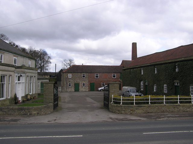
Middleton Lodge
Middleton Lodge is a Georgian Palladian mansion set within 200 acres (0.81 km2) of open countryside, on the outskirts of the village of Middleton Tyas...

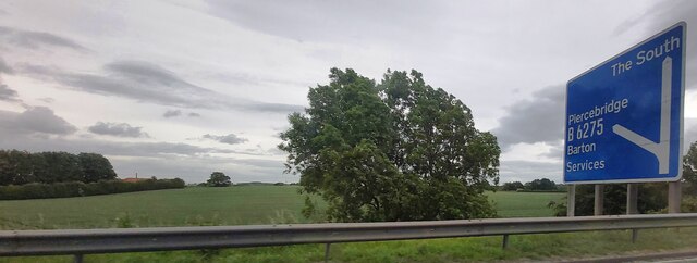
Barton, North Yorkshire
Barton is a village and civil parish in the Richmondshire district of North Yorkshire, England. According to the 2011 census it had a population of 837...

Middleton Tyas
Middleton Tyas is a village and civil parish in the Richmondshire district of North Yorkshire, England. It is located near Scotch Corner. == History... ==
Gilling with Hartforth and Sedbury
Gilling with Hartforth and Sedbury is a civil parish in North Yorkshire, England. It includes the villages of Gilling West and Hartforth. The civil parish...
Scotch Corner
Scotch Corner is a junction of the A1(M) and A66 trunk roads near Richmond in North Yorkshire, England. It has been described as "the modern gateway to...
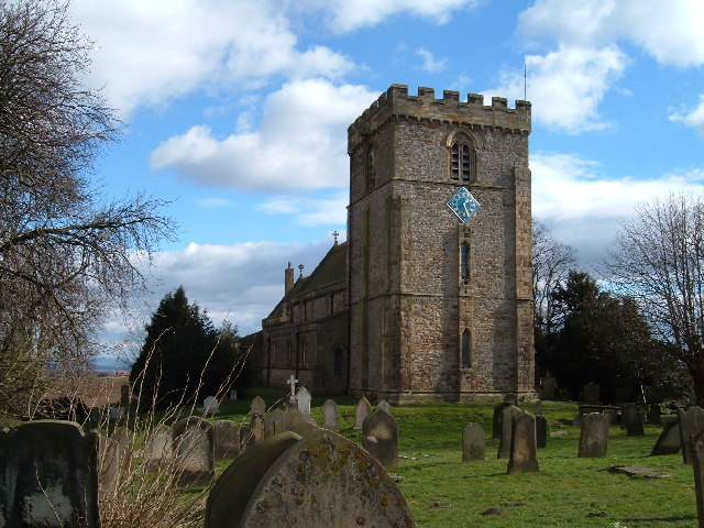
St James' Church, Melsonby
St James' Church is in the village of Melsonby, North Yorkshire, England. It is an Anglican parish church in the deanery of Richmond, the archdeaconry...
Newton Morrell
Newton Morrell is a village and civil parish in the Richmondshire district of North Yorkshire, England. It is 6 miles (9 km) from Darlington and 2 miles...

Melsonby
Melsonby is a village and civil parish in the Richmondshire district of North Yorkshire, England. It lies a 1.2 miles (2 km) west of the A1(M) motorway...
Related Videos


Middleton Tyas 🇬🇧 England - peaceful walk around the village in 4k⁵⁰fps
Hello my friends and welcome back to my channel ! This is a small walking tour around one of the most beautiful and peaceful ...

~ 3100+, 950+ and 560+ YouTube Views! ~ Wow And Thank You All So Much! ~
3100+, 950+ and 560+ YouTube Views! ~ Wow And Thank You All So Much! ~ When I launched my YouTube Channel a few ...

Middleton lodge estate weekend away
Artist Attribution Music By: "After The Fall" Track Name: "Pieces" • SoundCloud - https://soundcloud.com/afterthefallofficial ...
Nearby Amenities
Located within 500m of 54.460939,-1.6550384Have you been to Lodge Covert?
Leave your review of Lodge Covert below (or comments, questions and feedback).